


1912 London Underground Map and Pocket Guide to London
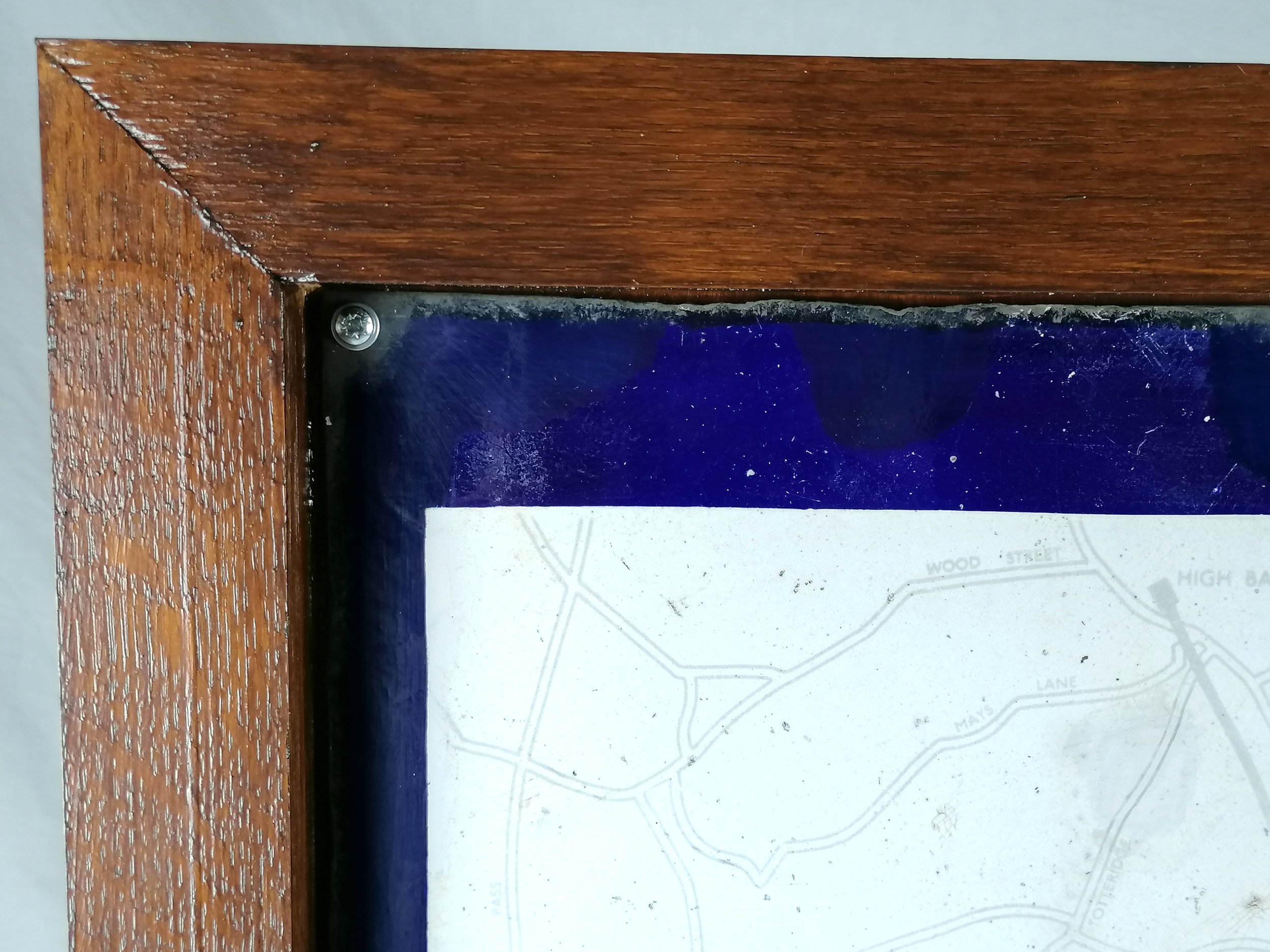
London Underground Railways Map. 1912.
Designed by London Geographical Institute. Printed by George Philip & Son for London Underground Electric Railways. Measures 26cm x 20cm. Condition: Excellent near mint. Folded as issued. Printed both sides and attached to a German guide to London “ABC Taschen Fuhrer Durch London”, issued by the Kingsley & Thackeray Hotels.
This rare and unusual edition of the ‘London Underground Railways’ pocket map was printed for just one year in 1912 and was adapted from the larger “Evening News Tube Map of London” (also by George Phillip & Sons)
The map bears a rarely seen vertical version of the UndergrounD wordmark that was introduced (and almost immediately abandoned) for station signage and occasional printed material. Designed for tourists, this map is littered with yellow icons indicating London's attractions, museums and theatres.
This map was the last of the UERL 'green border' series of maps 1908-12. These were the first unified maps of the London Underground.
FREE UK DELIVERY. Non-UK Delivery available, please request a quotation
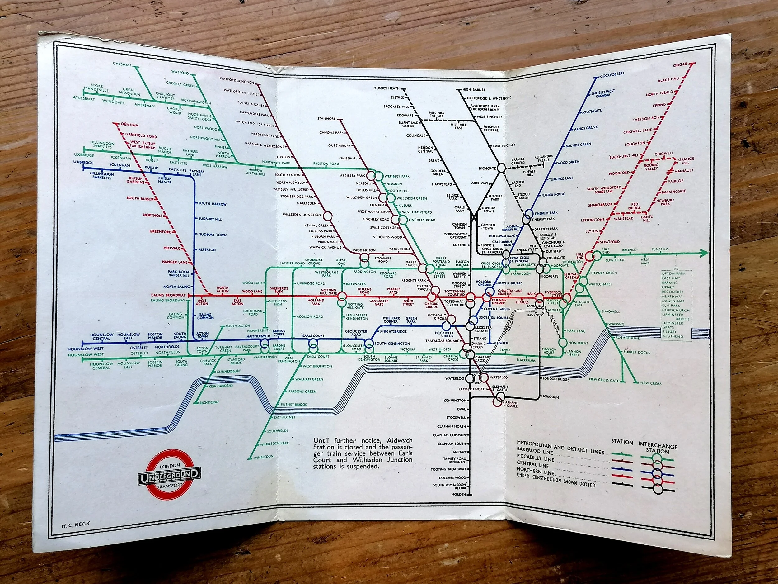
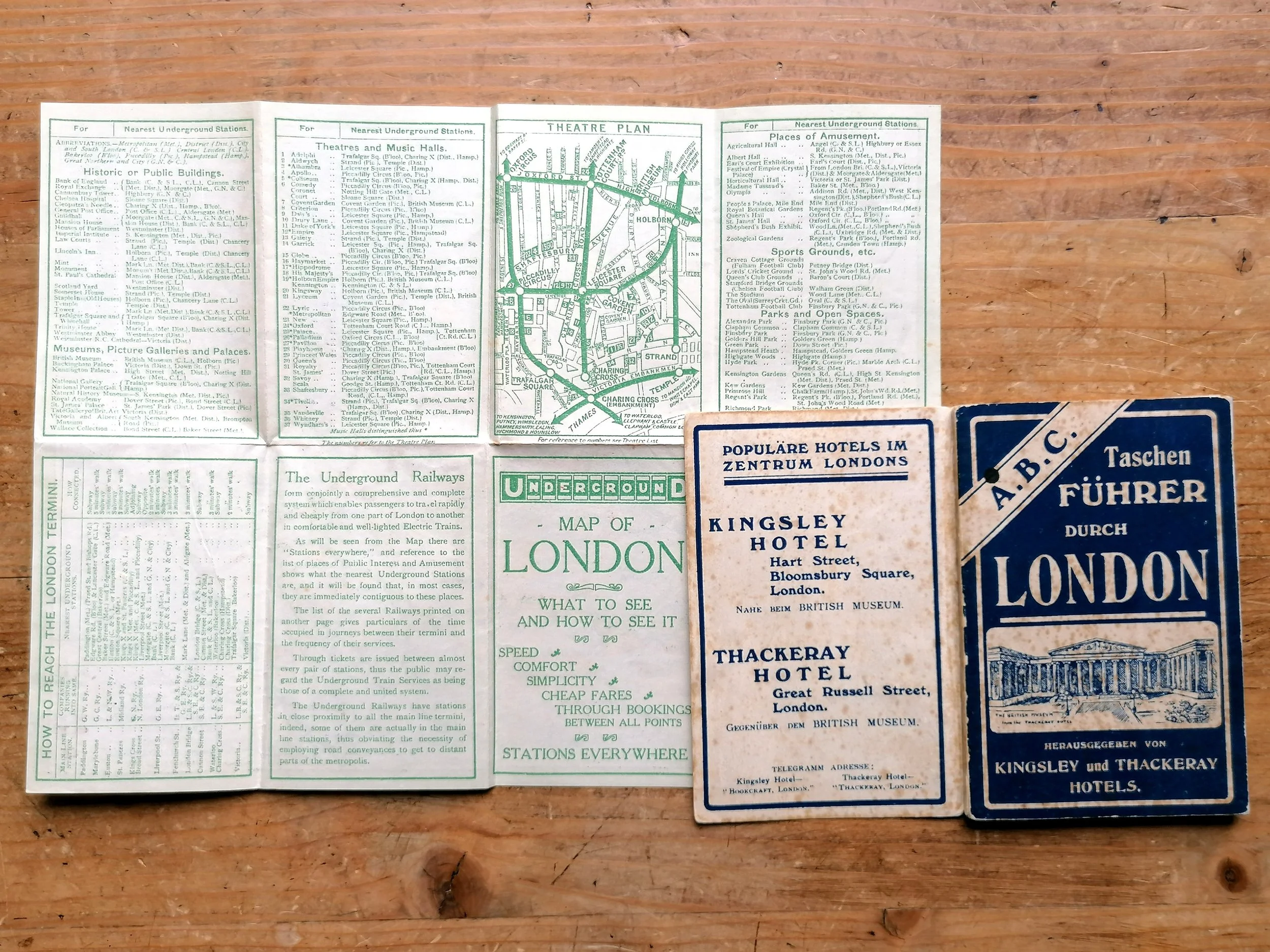