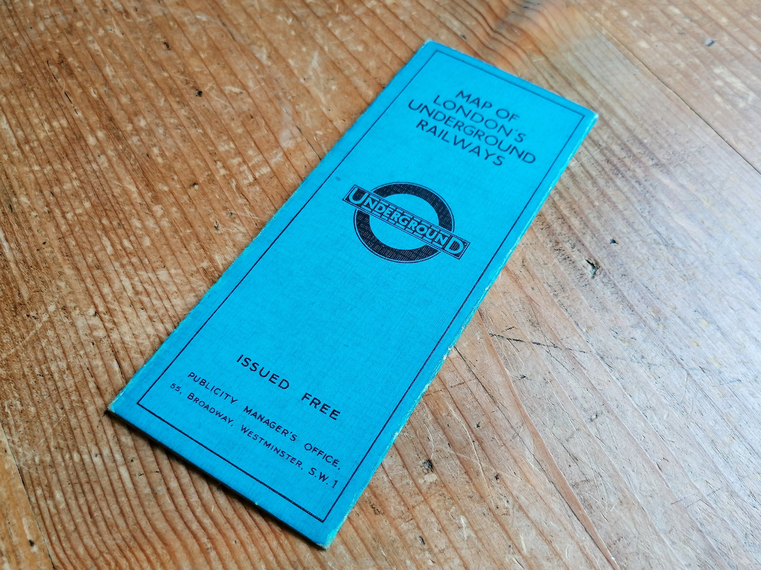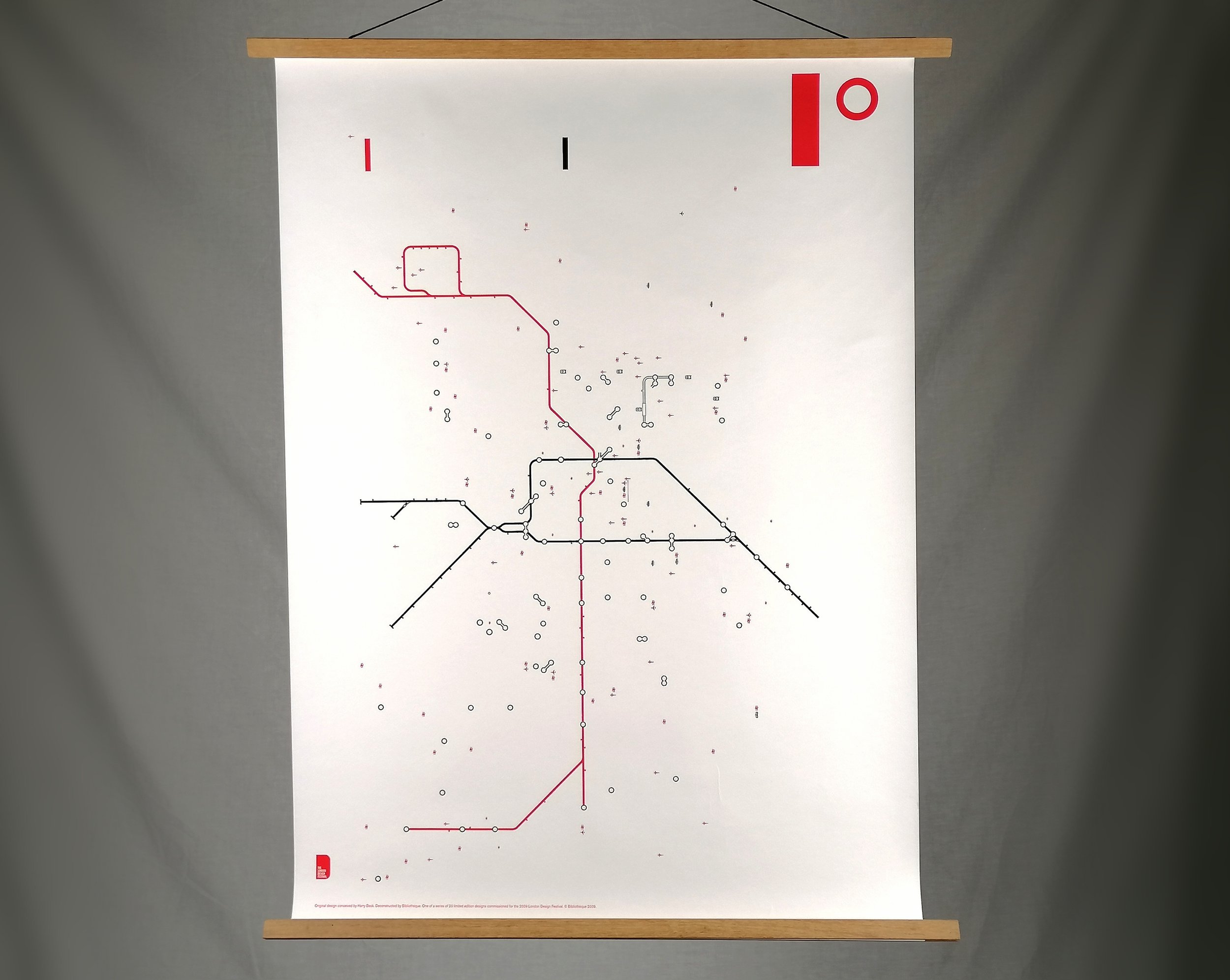
The First 'Unified' Tube Map - 1908 London Underground Railways Map
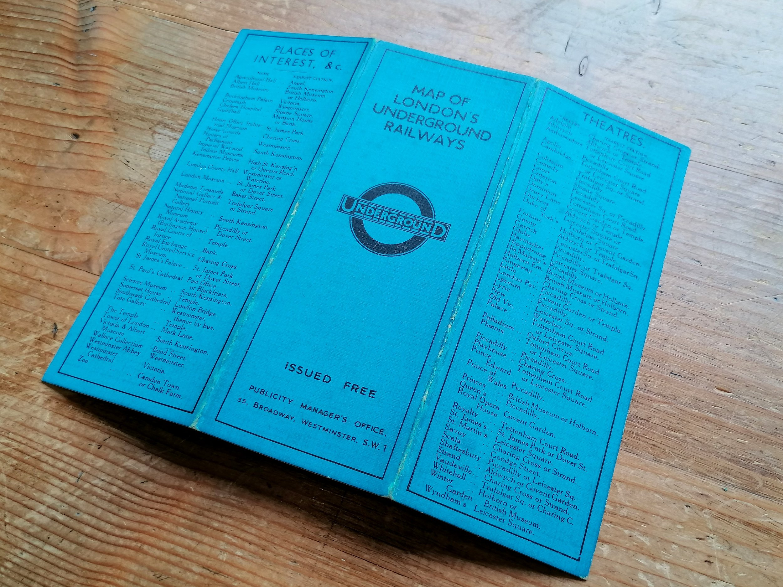
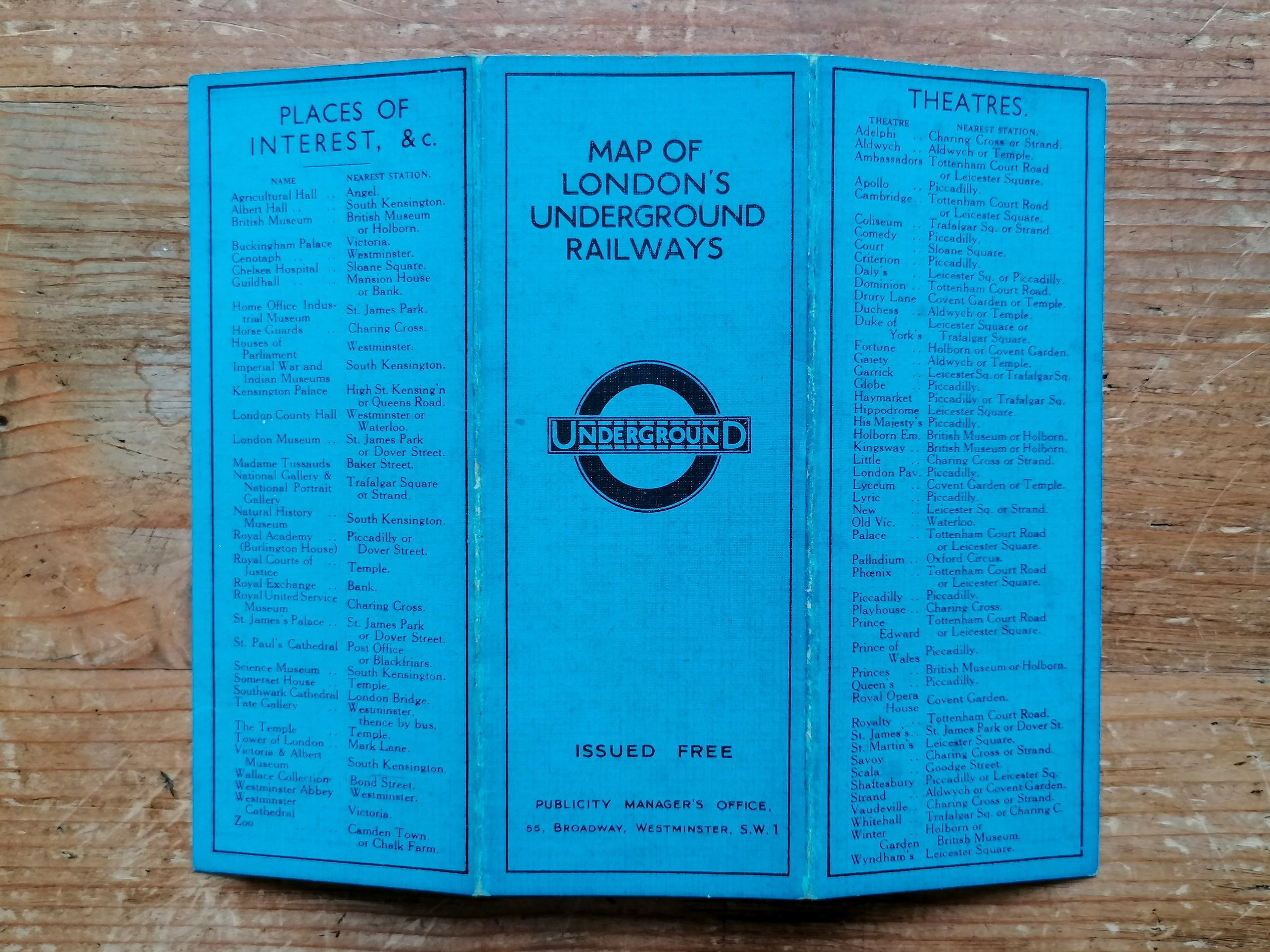
London Underground Railways. 1908
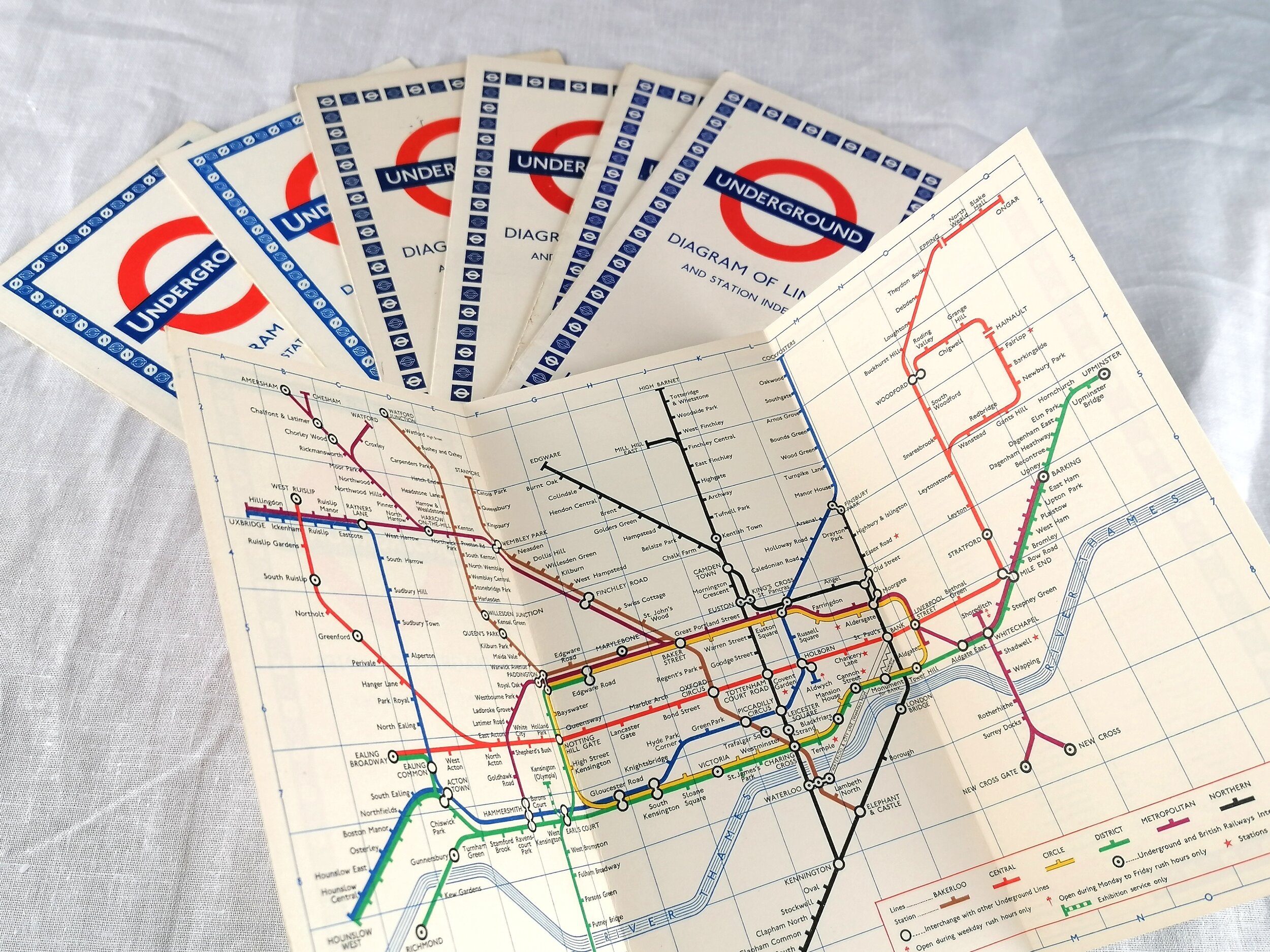
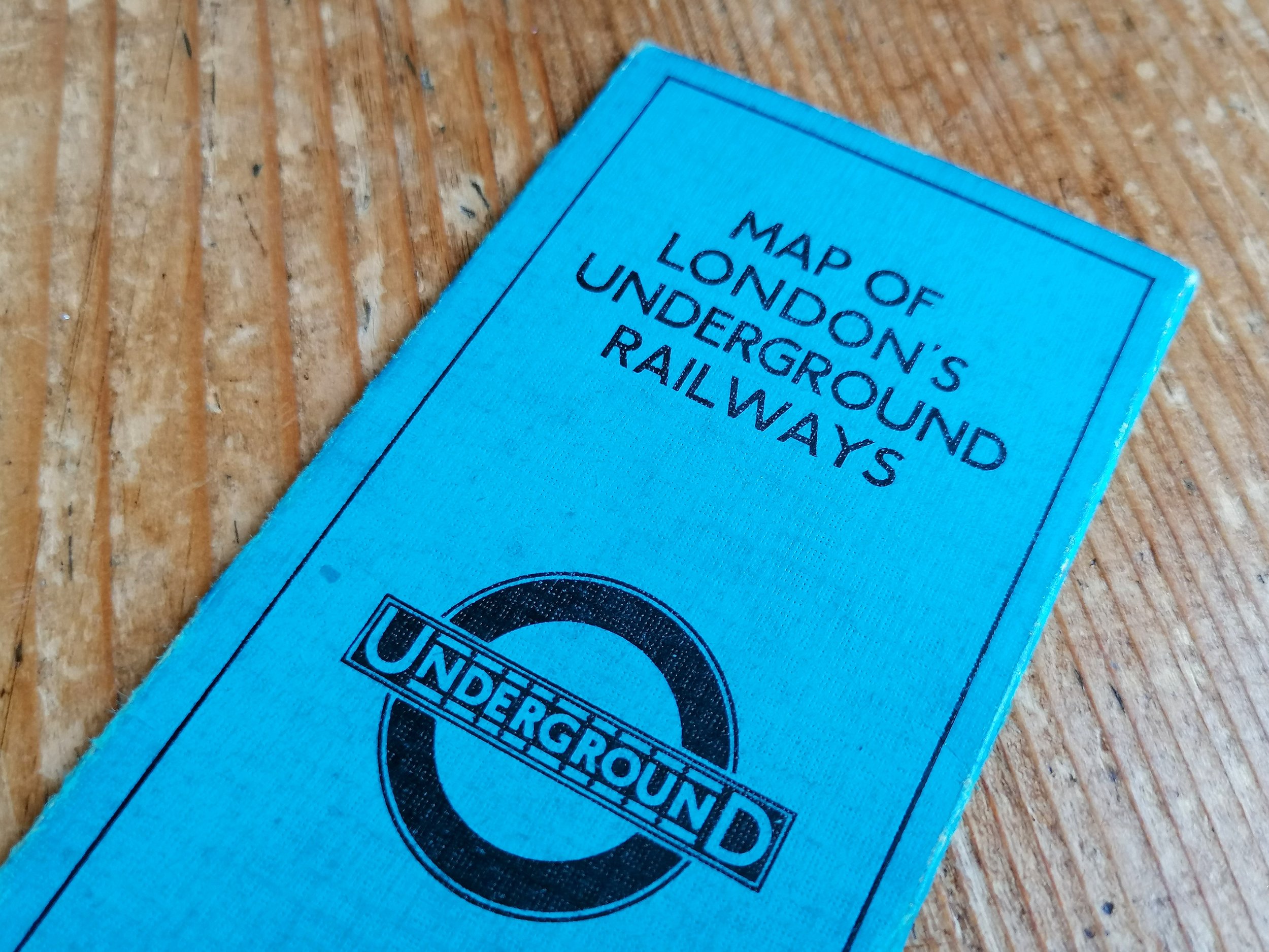
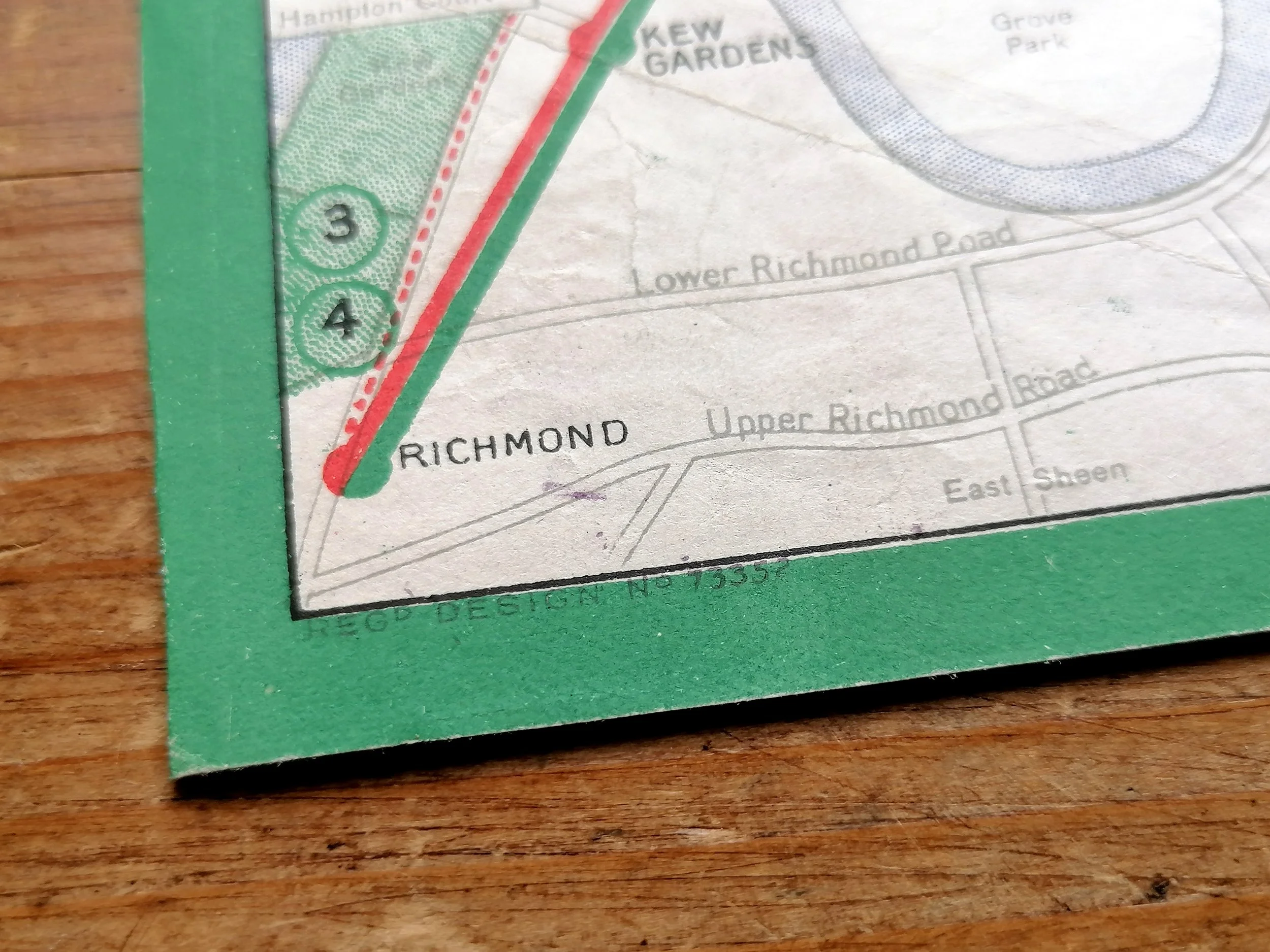
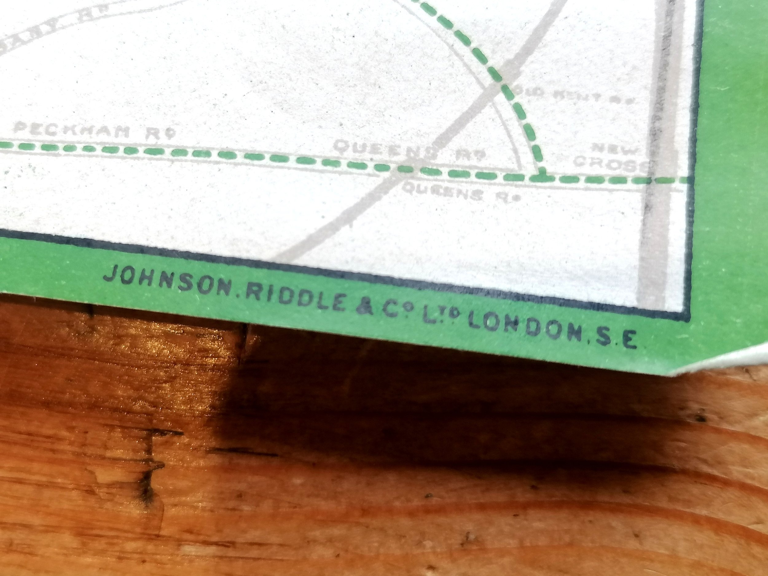
Printed by Johnson & Riddle for UERL. 1908. Size: 27m x 22cm. Colour lithograph on paper. Blank verso edition for guide books. Folded as issued. Condition: A very good example. Some signs of once being attached to a book along one edge. Some shadowing of the Underground logo to the left and right where it has been folded against it.
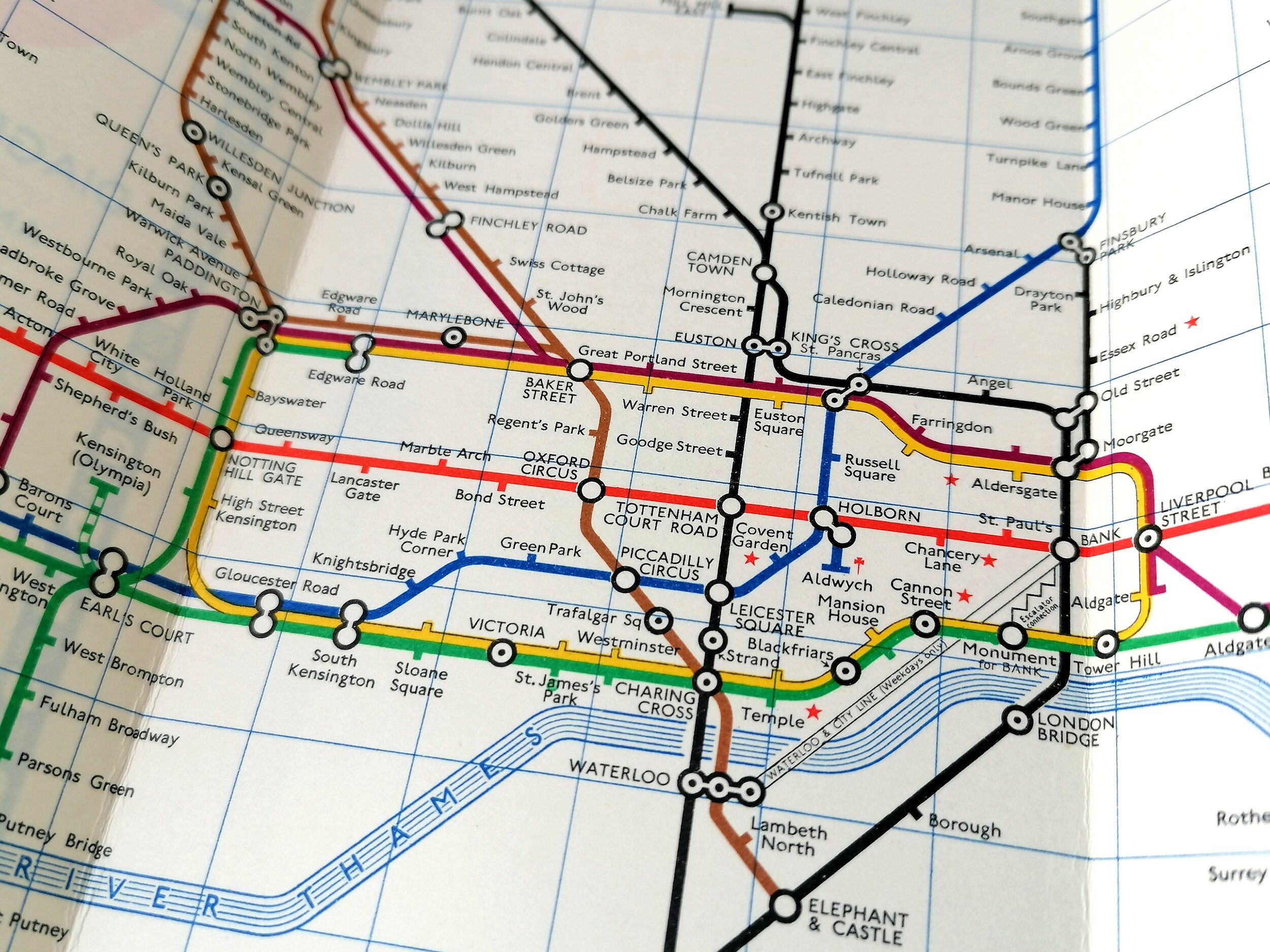
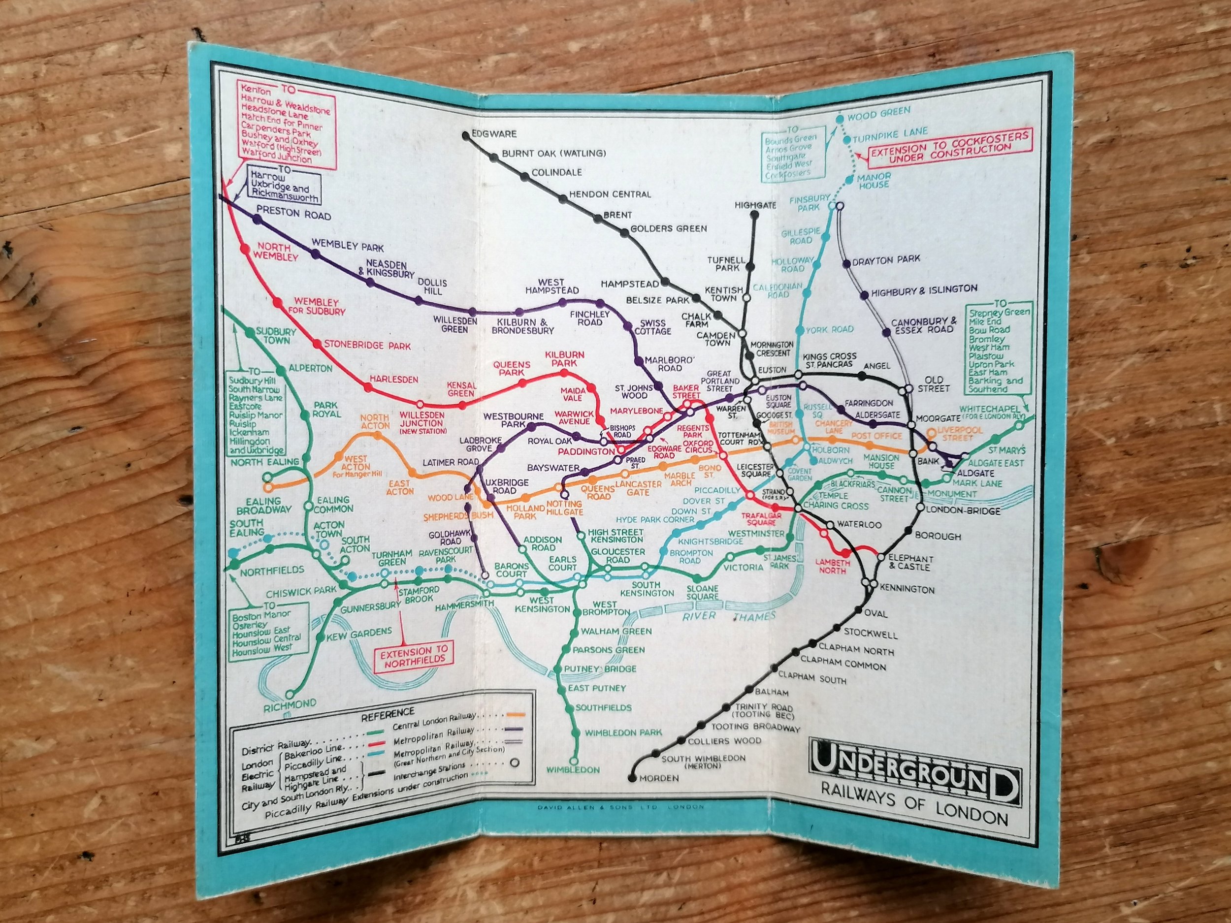
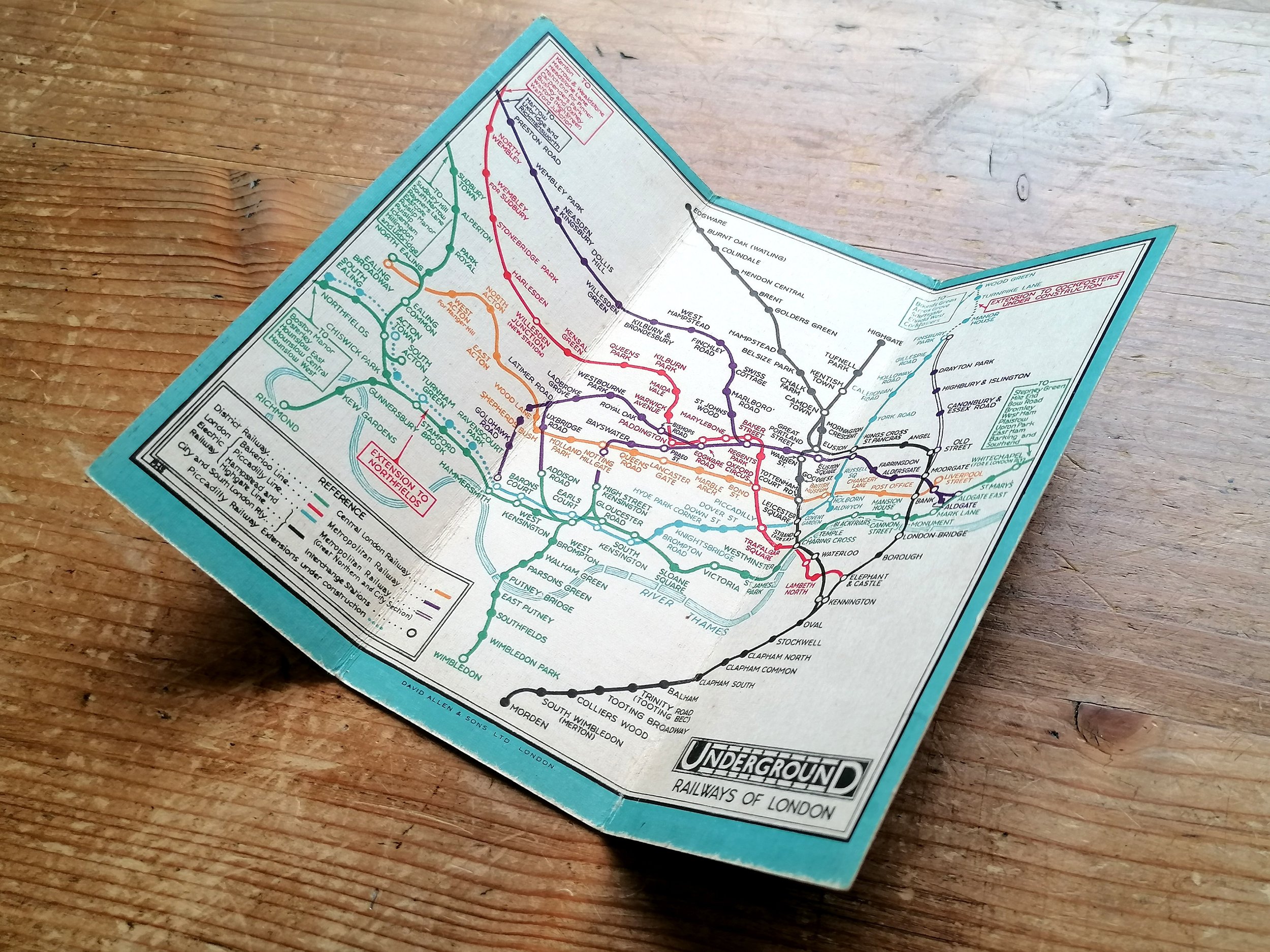
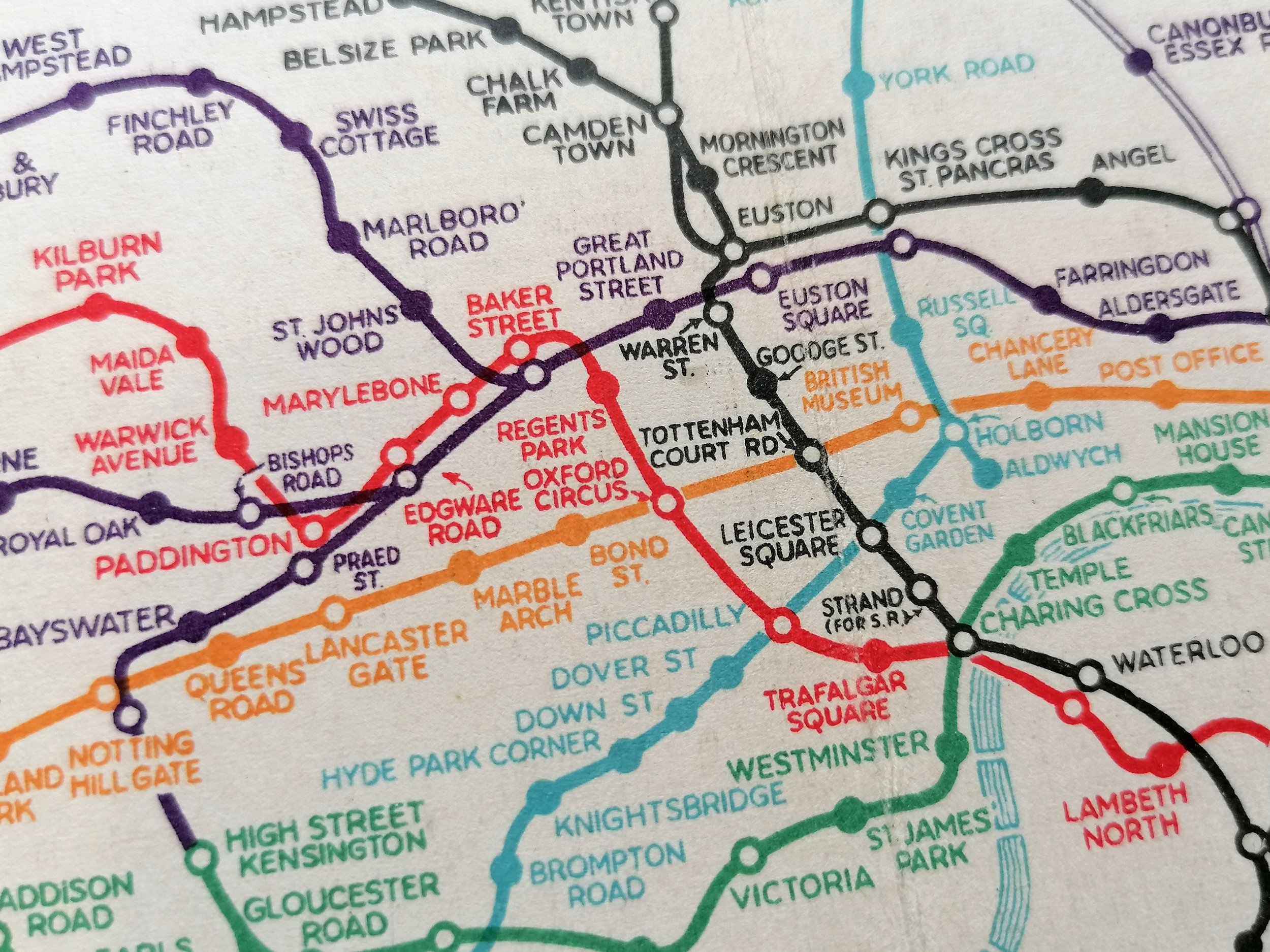
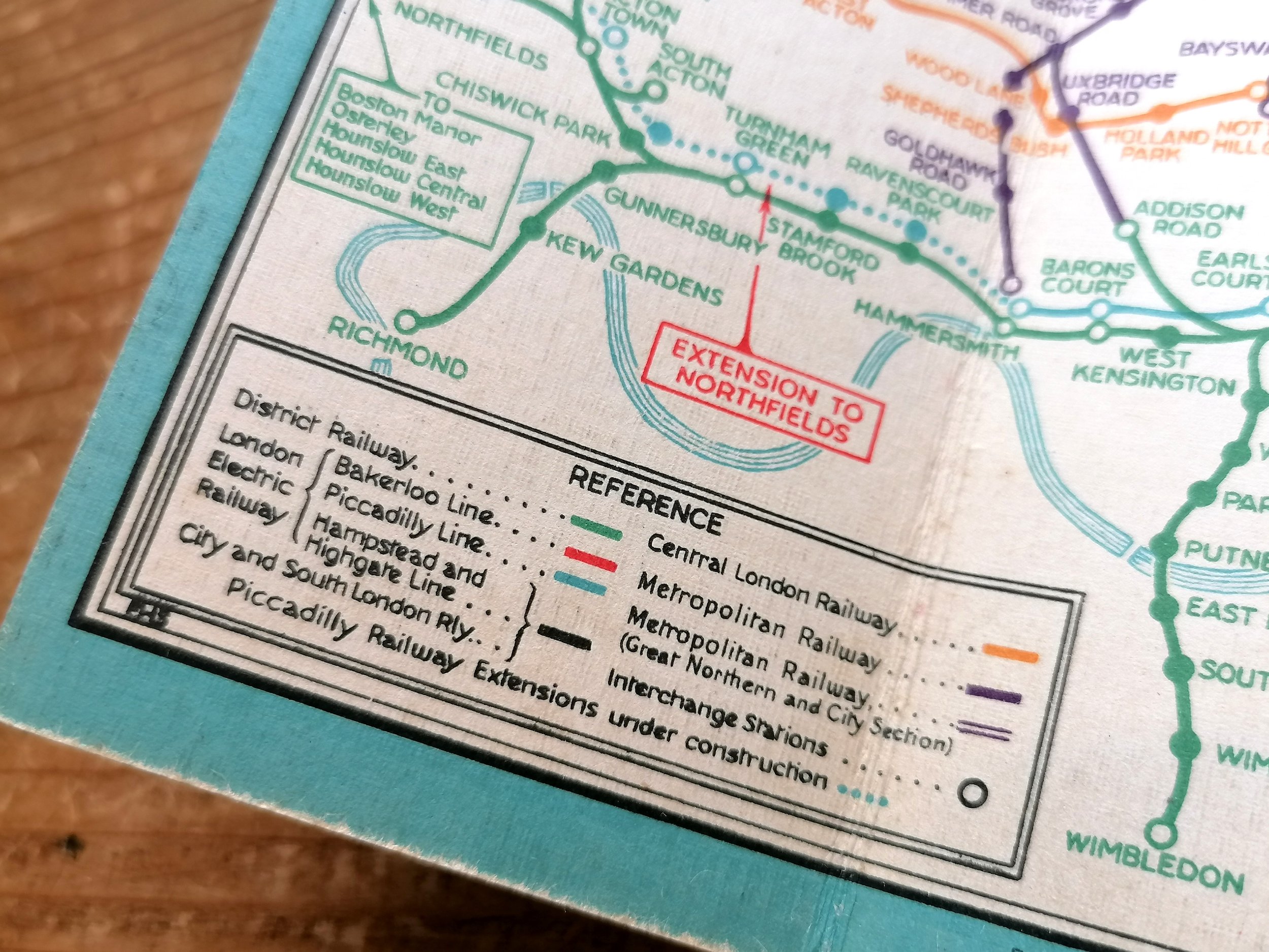
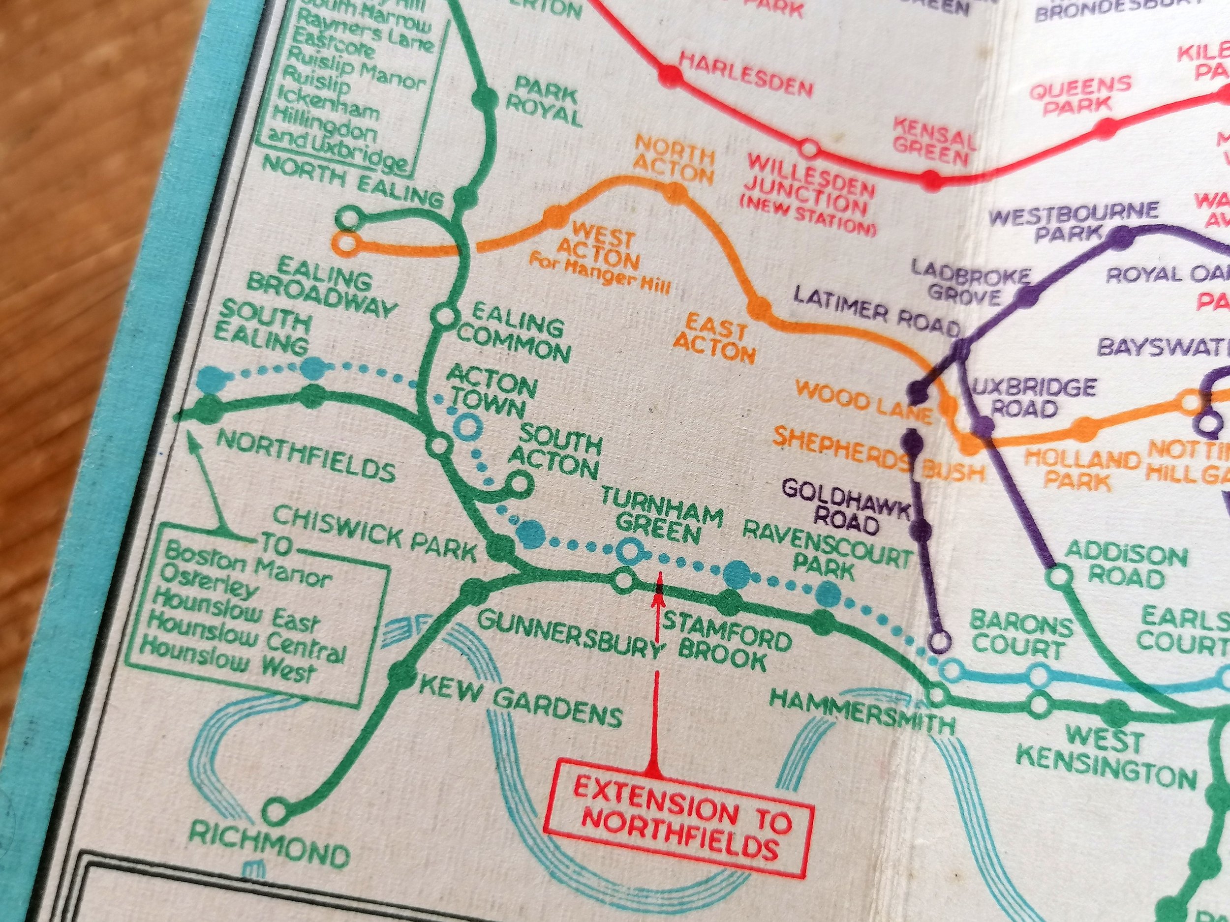
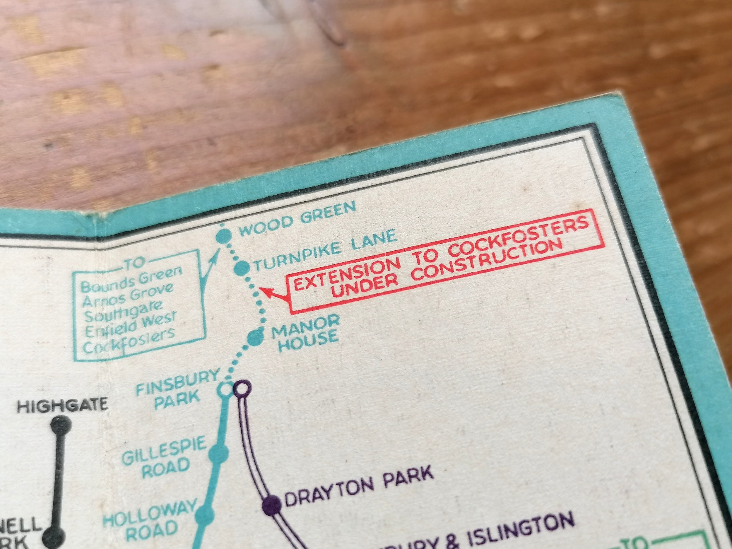
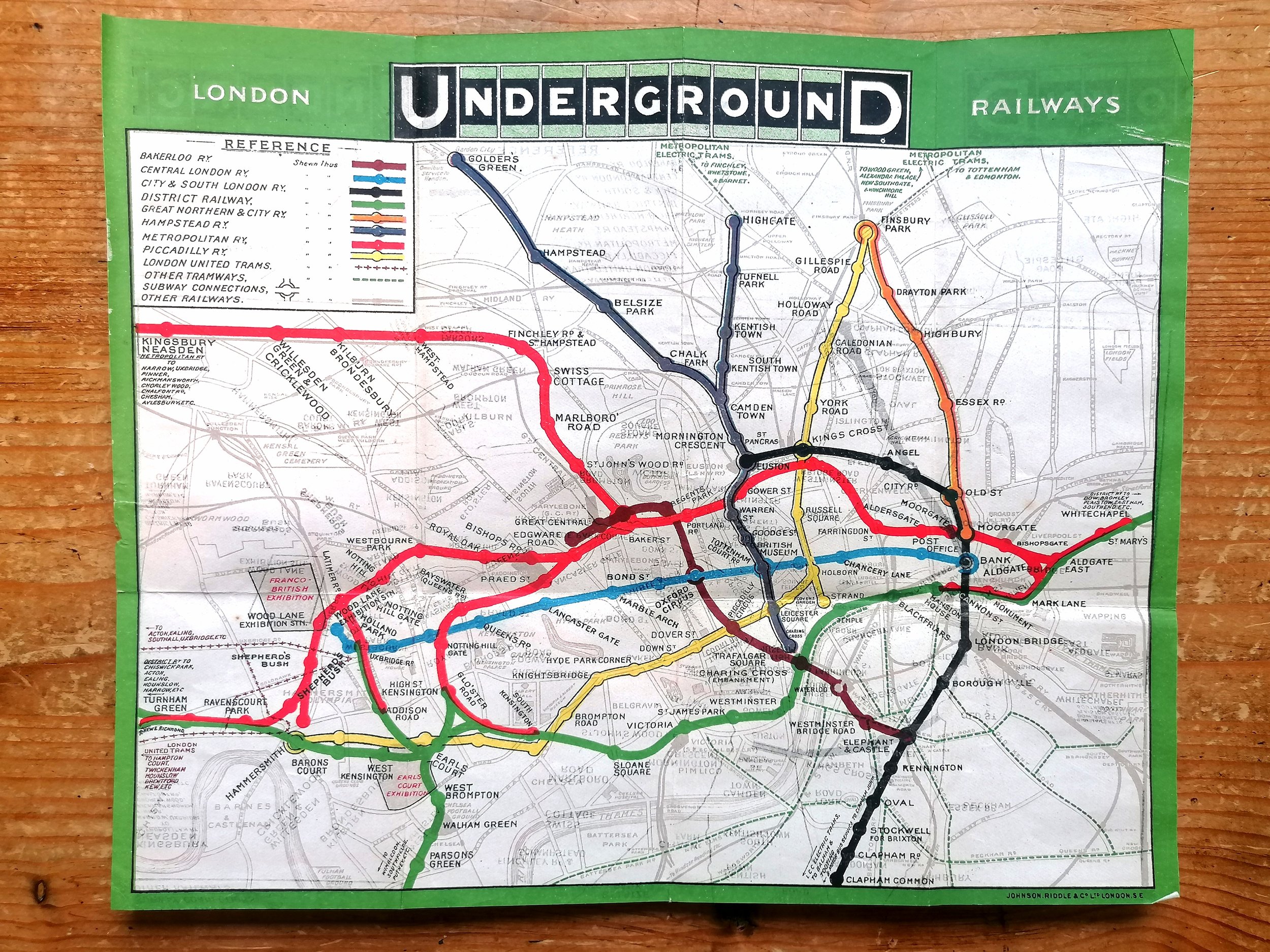
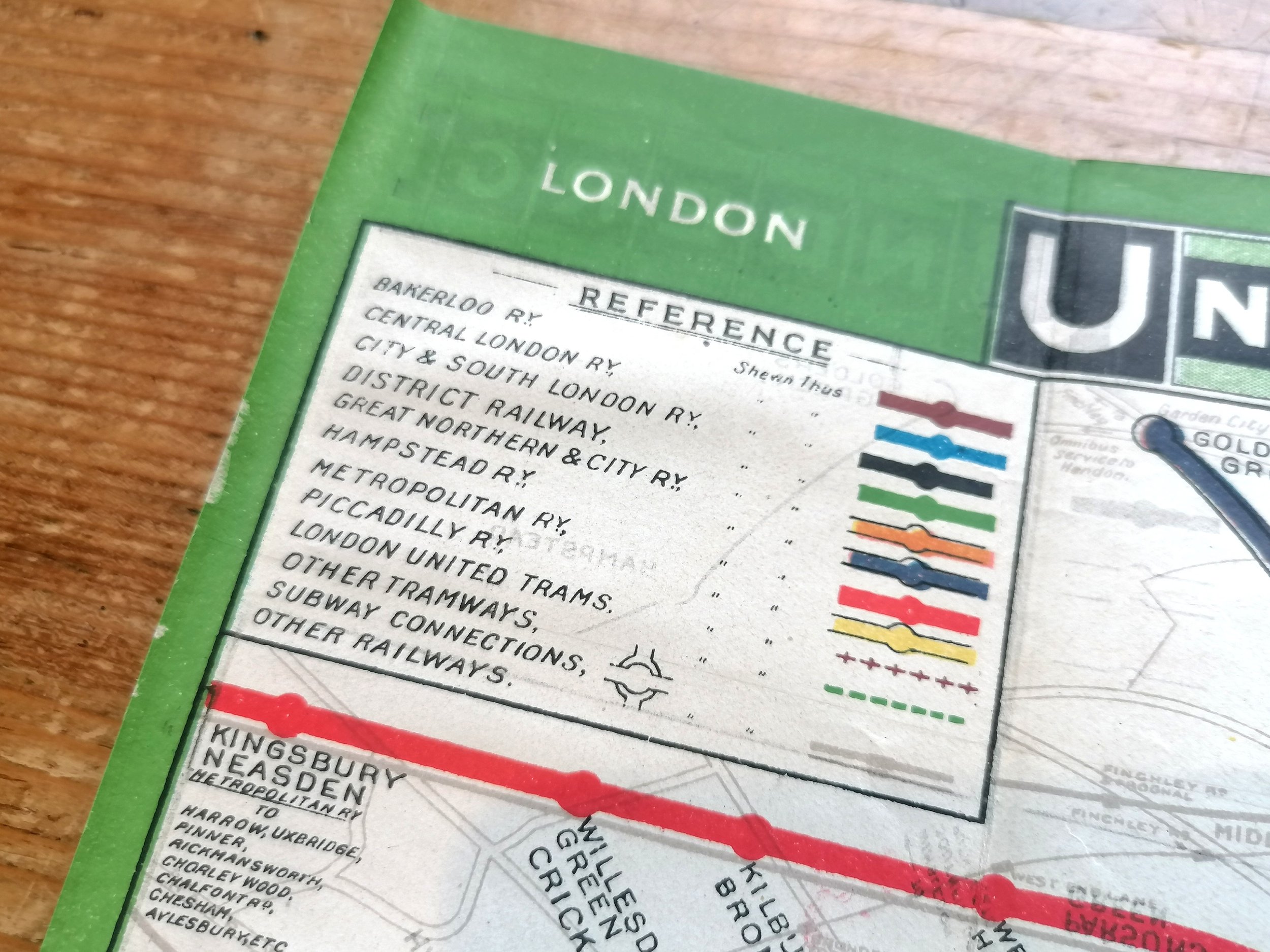
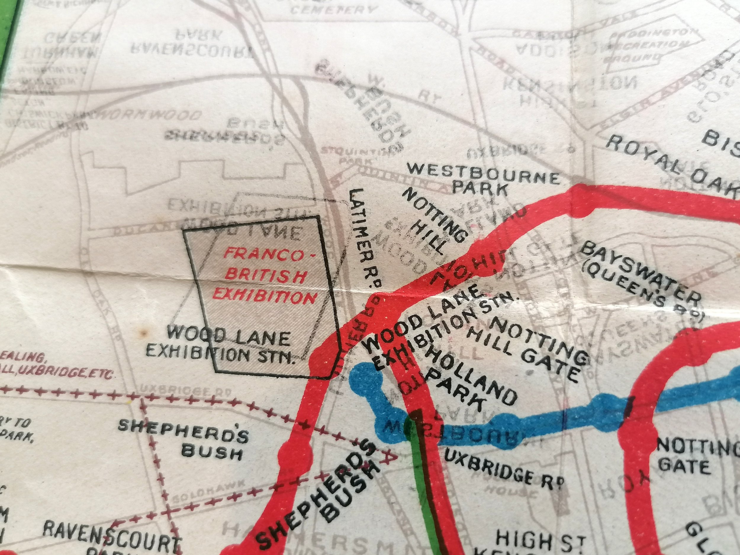
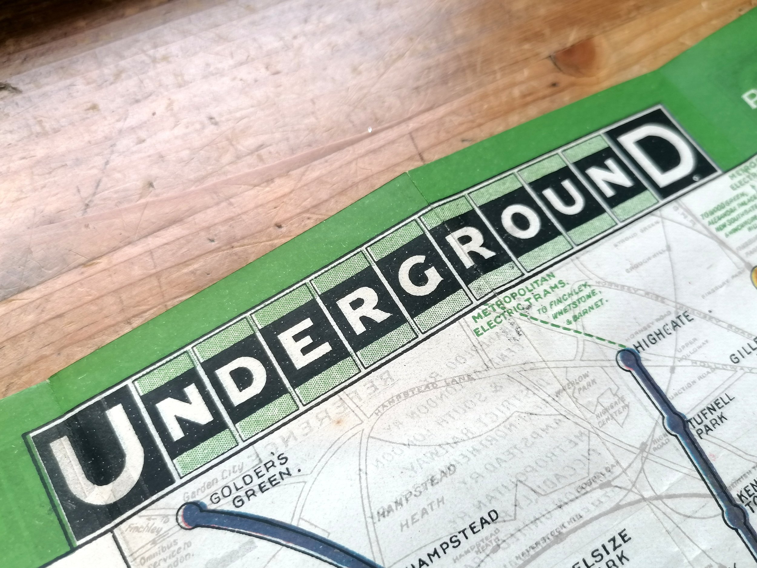
This vibrant map is the first official 'unified' map of the London Underground system that dates to 1908 and bears the first UndergrounD logo. The map features the Franco-British Exhibition at Shepherds Bush which took place in the same year.
The early 1900s saw a rapid pace in the development of 'deep-level tubes' and by 1906, there were numerous Underground railway companies operating largely in isolation to one another to the determent of themselves and confused passengers. In 1907, the four main London Underground railway companies, unified by their dire financial situation, came together and agreed to promote their joint interests as a complete Underground railway system.
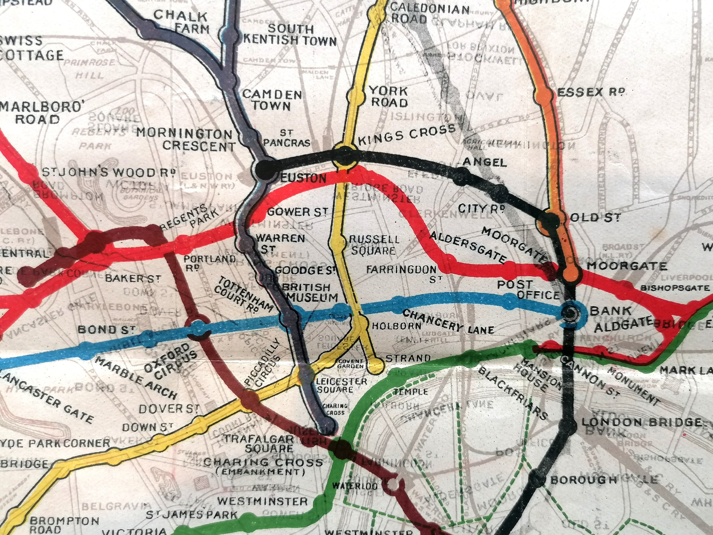
In April 1908, the first all-inclusive map design of the London Underground was approved and initially used by each Railway company under their own branding. It was later in 1908, in a bid to better present as one system, that the companies agreed to operate under a single brand - The first UndergrounD wordmark was born. The streamlining of station signage, posters and publicity were all co-ordinated immediately. Now resplendent with the new U and D logo, this map represents a step change in clarity: the colour coding of each line set the tone for tube-map makers up the present day.
FREE UK DELIVERY. Non-UK Delivery available, please request a quotation
London Underground Railways. 1908
Printed by Johnson & Riddle for UERL. 1908. Size: 27m x 22cm. Colour lithograph on paper. Blank verso edition for guide books. Folded as issued. Condition: A very good example. Some signs of once being attached to a book along one edge. Some shadowing of the Underground logo to the left and right where it has been folded against it.
This vibrant map is the first official 'unified' map of the London Underground system that dates to 1908 and bears the first UndergrounD logo. The map features the Franco-British Exhibition at Shepherds Bush which took place in the same year.
The early 1900s saw a rapid pace in the development of 'deep-level tubes' and by 1906, there were numerous Underground railway companies operating largely in isolation to one another to the determent of themselves and confused passengers. In 1907, the four main London Underground railway companies, unified by their dire financial situation, came together and agreed to promote their joint interests as a complete Underground railway system.
In April 1908, the first all-inclusive map design of the London Underground was approved and initially used by each Railway company under their own branding. It was later in 1908, in a bid to better present as one system, that the companies agreed to operate under a single brand - The first UndergrounD wordmark was born. The streamlining of station signage, posters and publicity were all co-ordinated immediately. Now resplendent with the new U and D logo, this map represents a step change in clarity: the colour coding of each line set the tone for tube-map makers up the present day.
FREE UK DELIVERY. Non-UK Delivery available, please request a quotation