


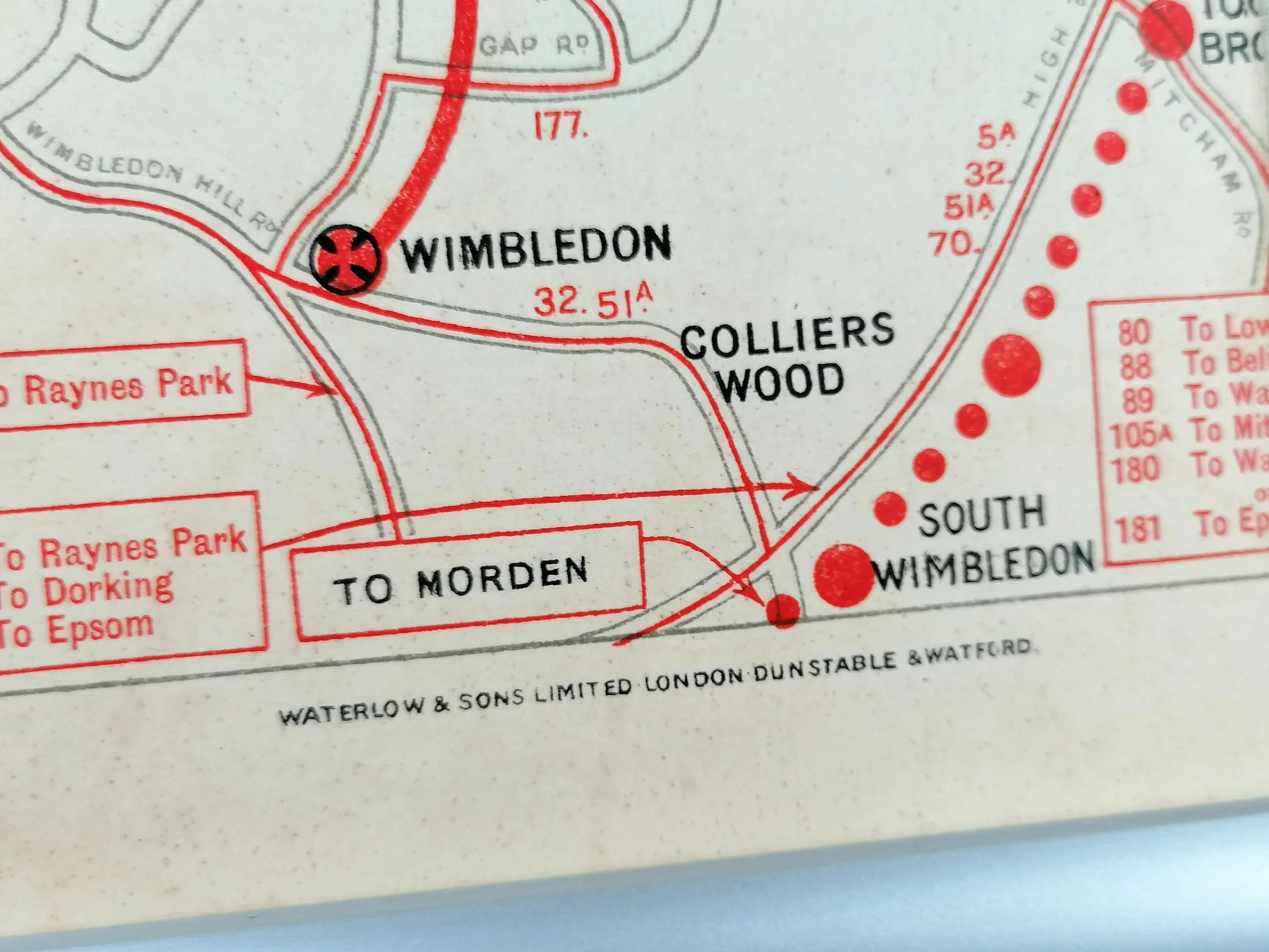


1926 London Underground Station Map - Double Crown Poster - folded on linen
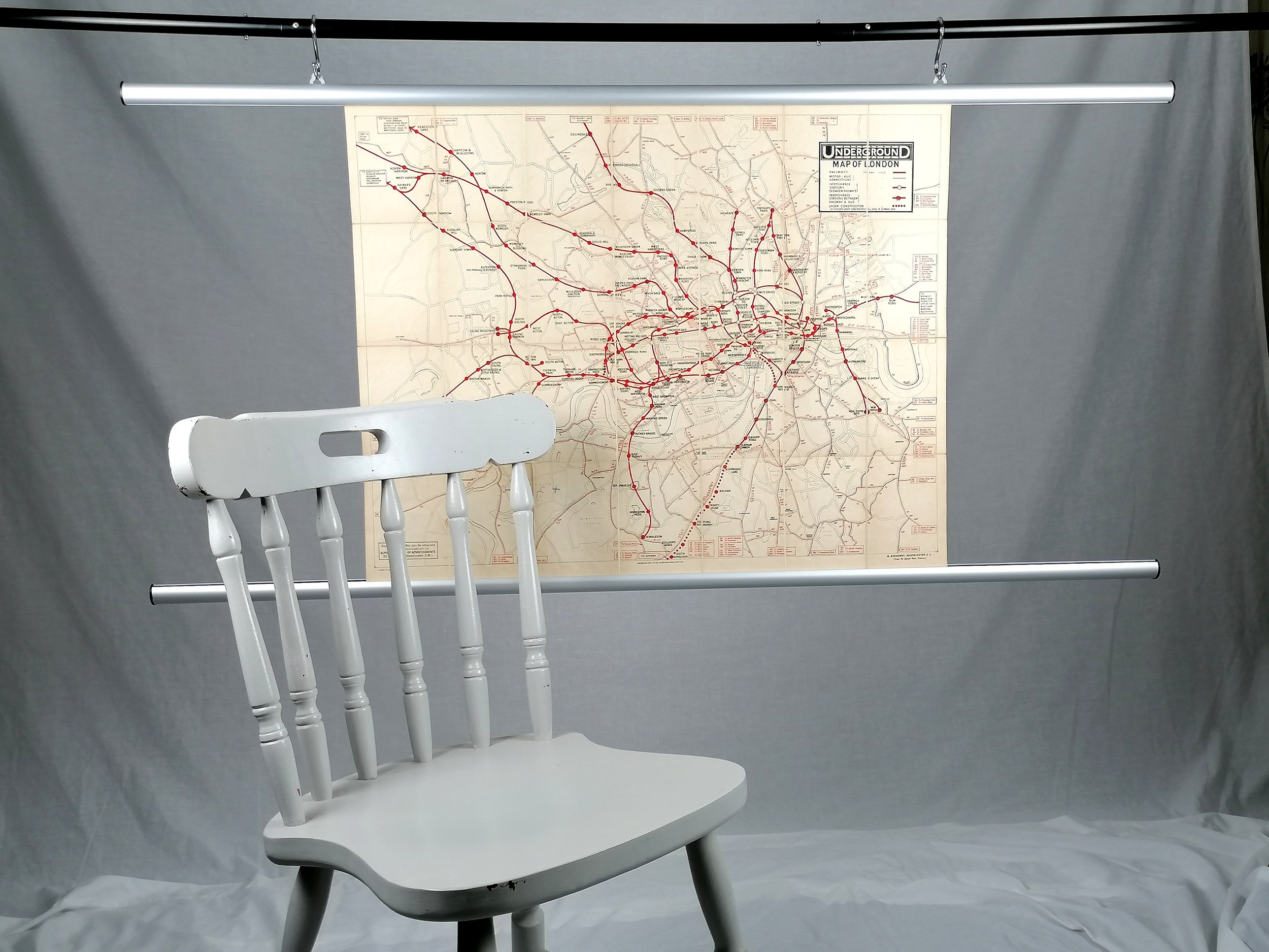
Underground Map of London (1926)
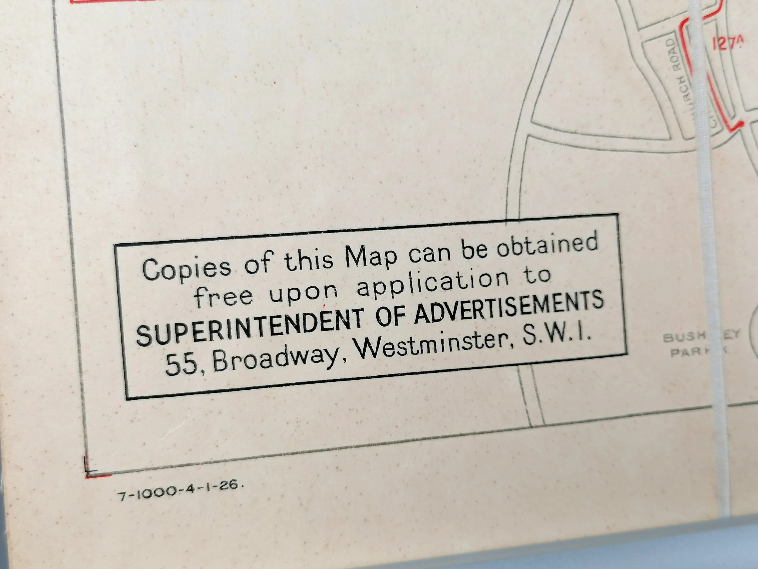
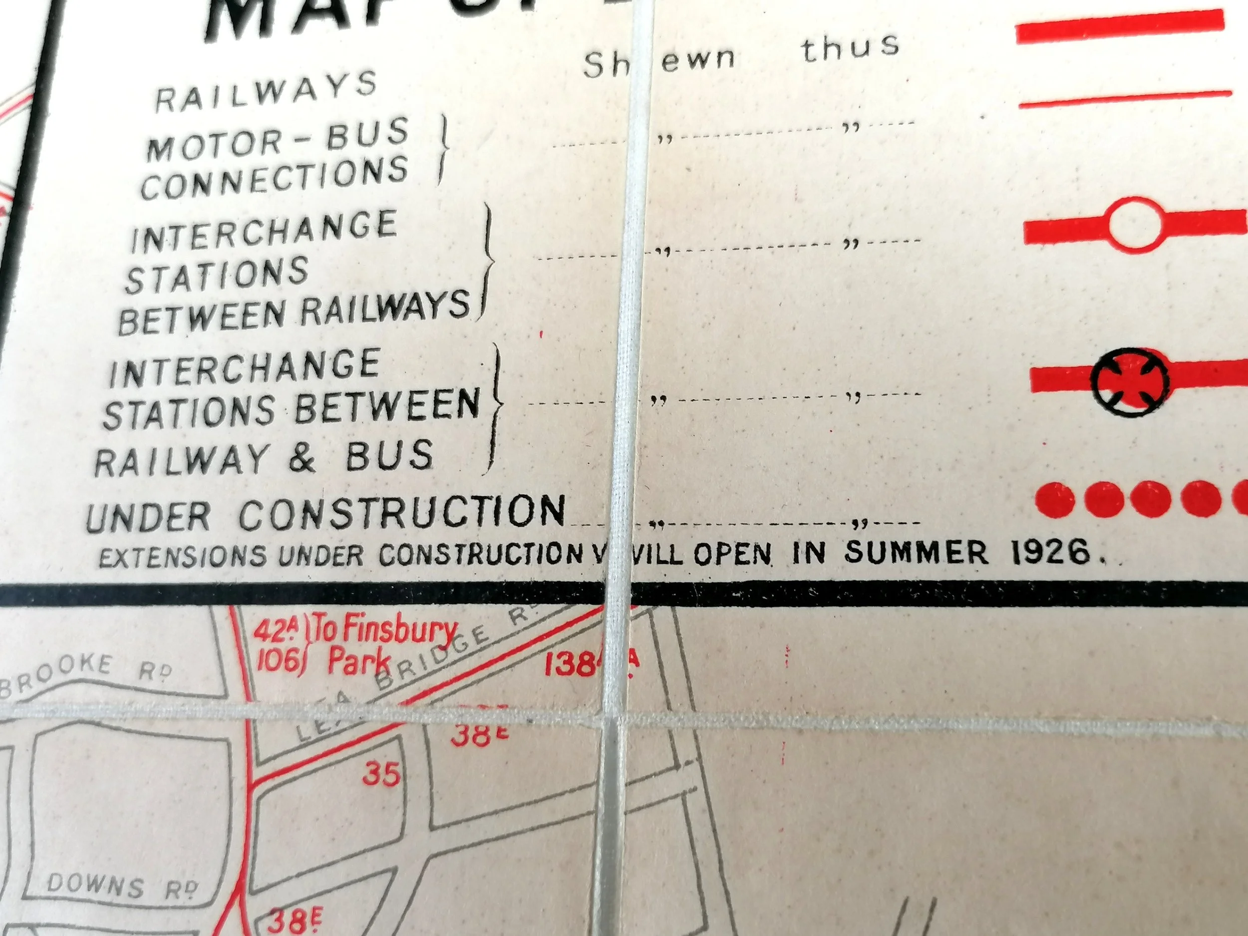
Published by Underground Group. Printed by Waterlow & Sons. Print Code 7-1000-4-1-26. Colour lithograph. Double Crown, Measures 77cm x 61cm (30 x 24 inches). Condition: Excellent. Double Crown poster cut into sections and laid to linen. Folded with bespoke covers.
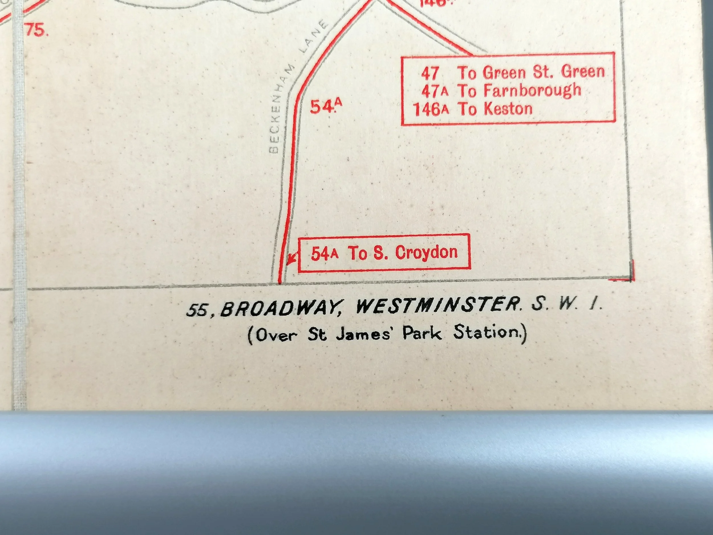
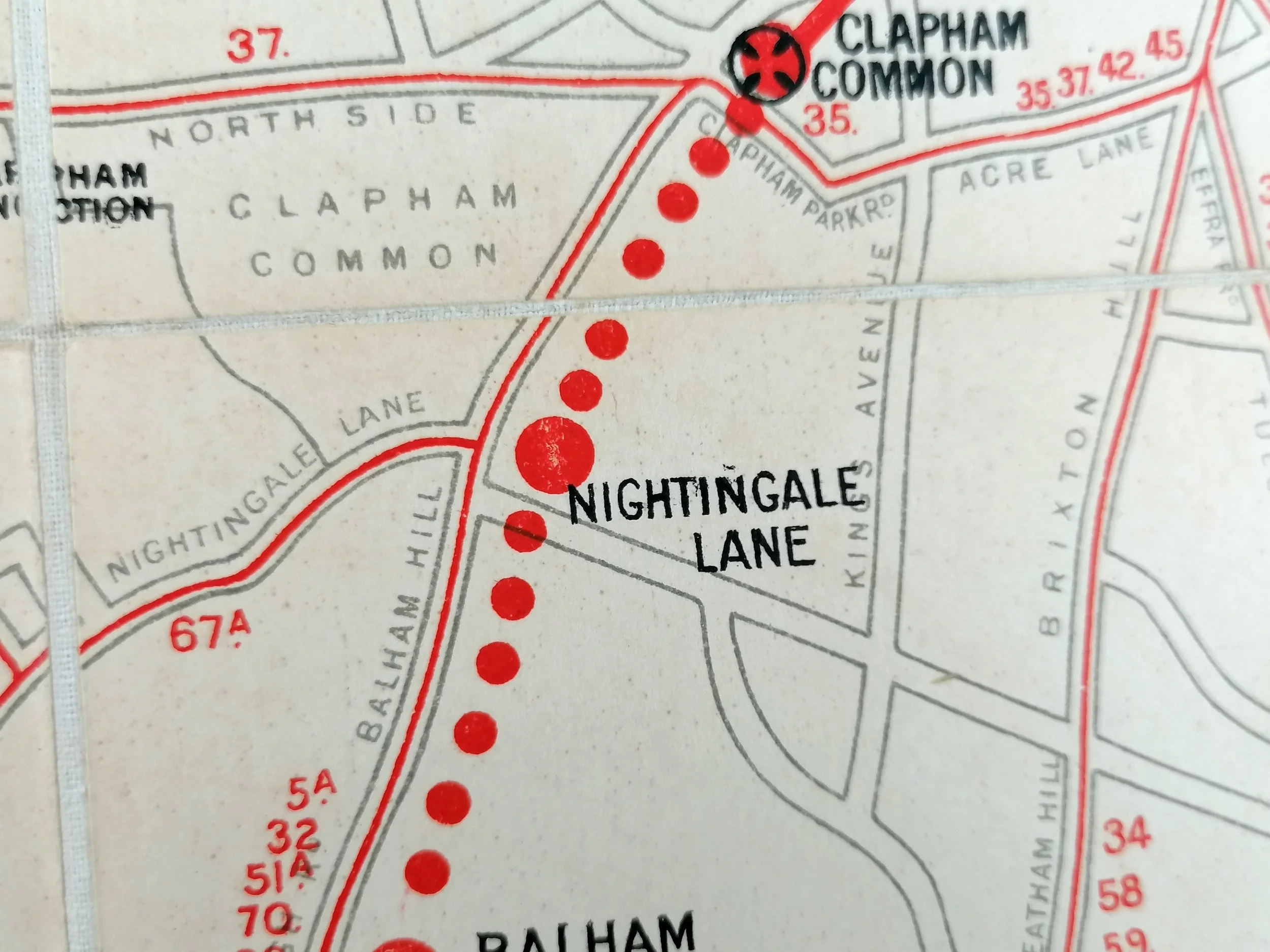
This charming folding map is a professional adaptation of a rare double crown poster which would normally have been displayed at stations. Dated 1926 and in ‘double crown’ format (30 x 24 inches), the map shows the London Underground and it’s interchanges with other forms of transport operated by the Underground Group.
This two-tone design first appeared in 1924 as a smaller pocket-size map issued with a guidebook for London, published by the Underground Group. Whilst there is no designer credited for this map, Fred Stingemore is the most likely suspect. Stingemore’s linen-card pocket Underground maps were now in circulation and the first full-colour station maps, first issued in 1927, were also attributed to him.
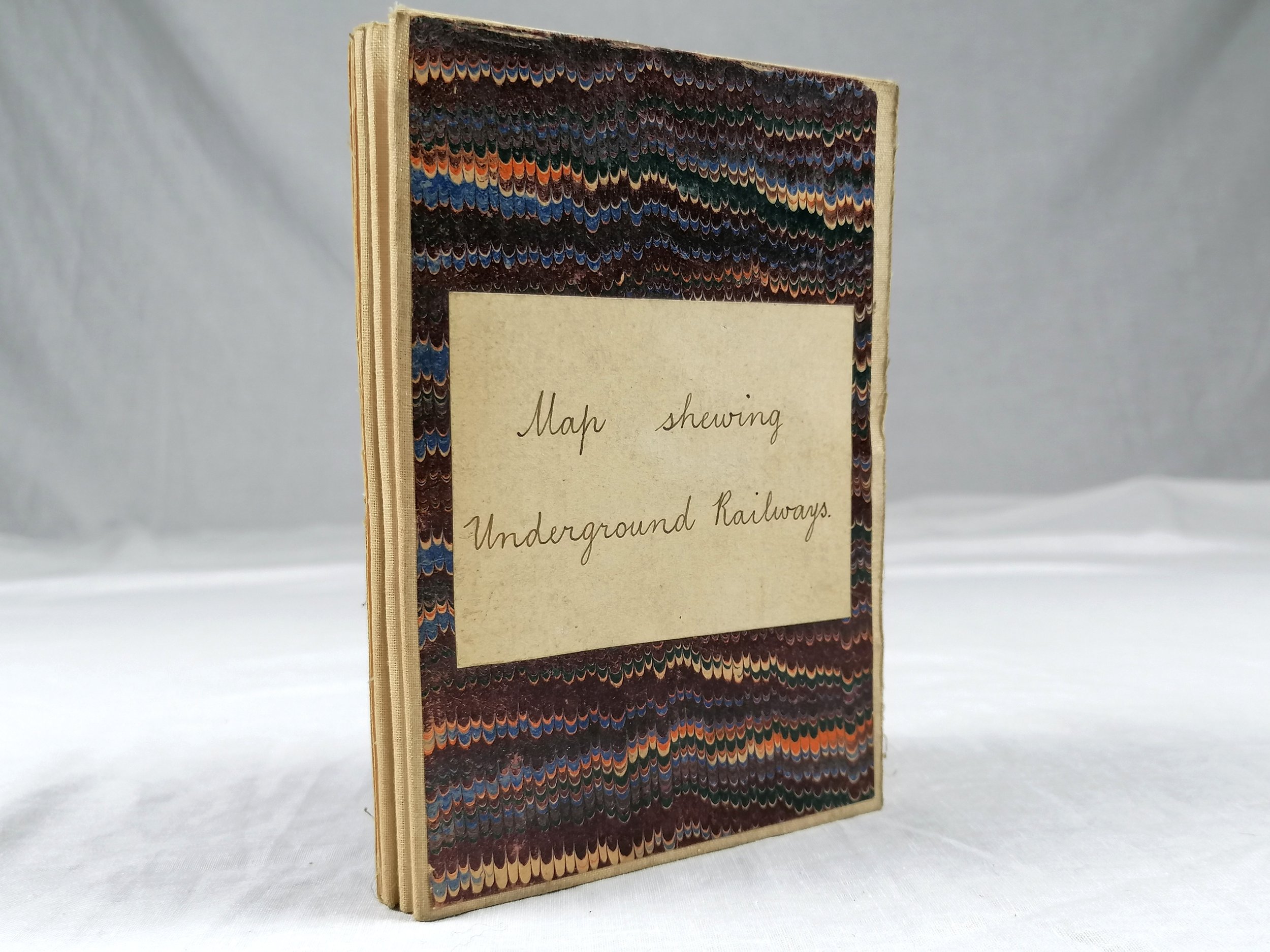
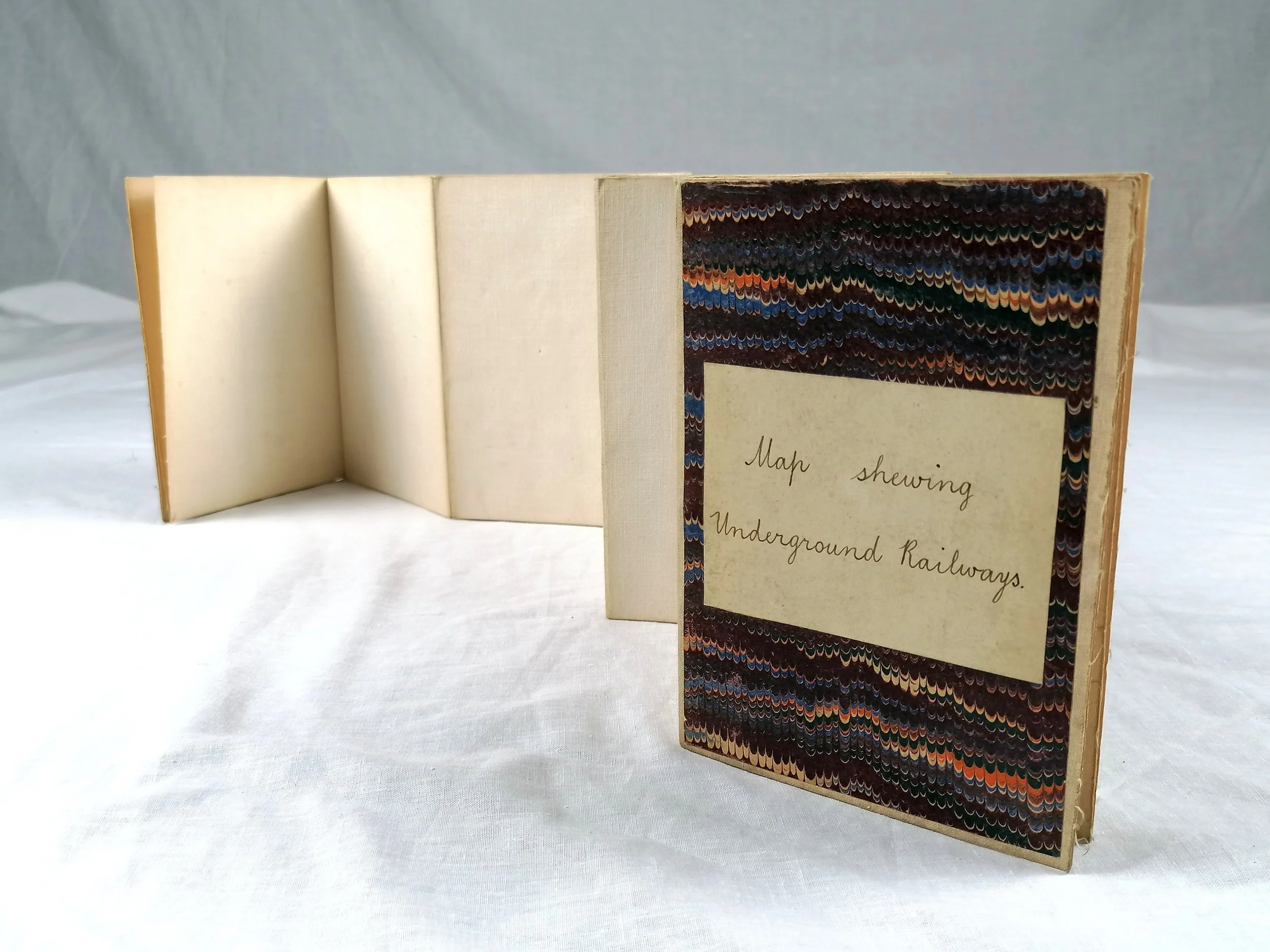
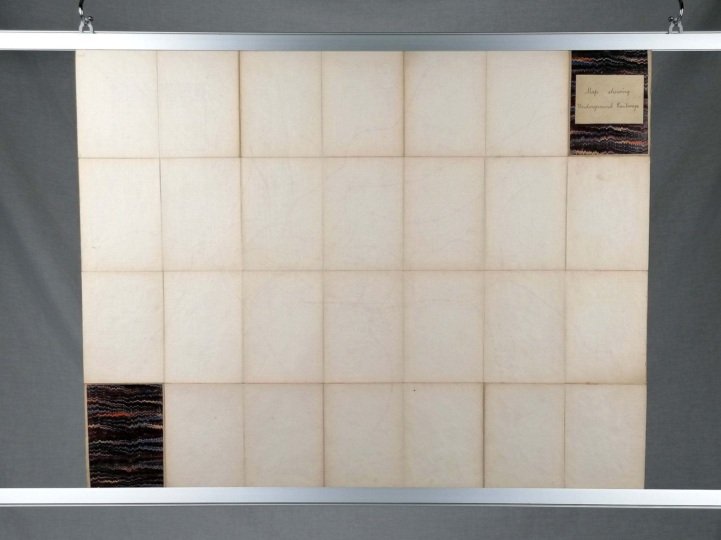
The adaptation from poster to folding map has clearly been done by a professional hand and around the time of issue. The map has been cut into sections and laid to a high quality linen and finished with front and back paper covers. The hand written title reads “Map Shewing Underground Railways”.
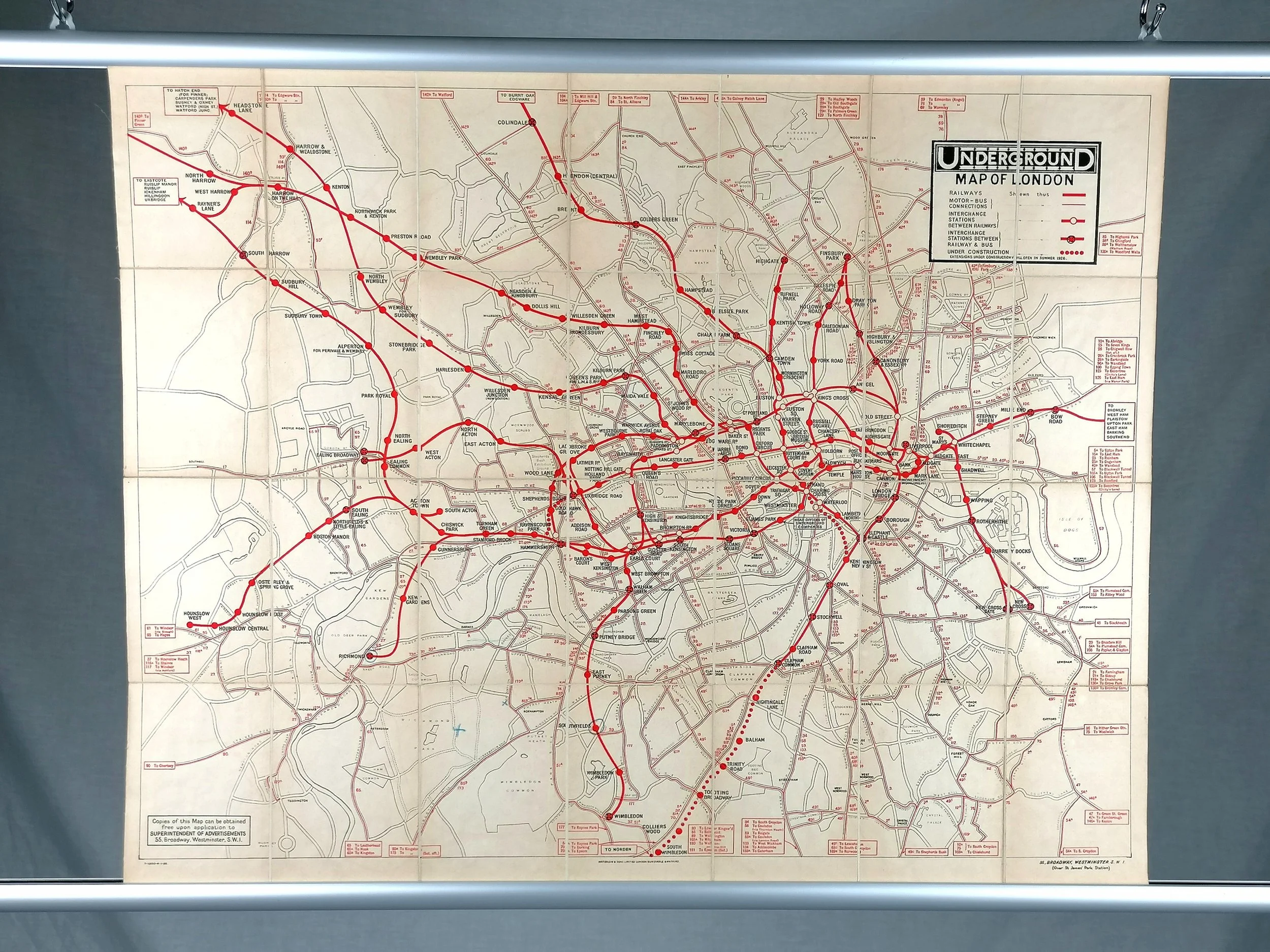
Underground Map of London (1926)
Published by Underground Group. Printed by Waterlow & Sons. Print Code 7-1000-4-1-26. Colour lithograph. Double Crown, Measures 77cm x 61cm (30 x 24 inches). Condition: Excellent. Double Crown poster cut into sections and laid to linen. Folded with bespoke covers.
This charming folding map is a professional adaptation of a rare double crown poster which would normally have been displayed at stations. Dated 1926 and in ‘double crown’ format (30 x 24 inches), the map shows the London Underground and it’s interchanges with other forms of transport operated by the Underground Group.
This two-tone design first appeared in 1924 as a smaller pocket-size map issued with a guidebook for London, published by the Underground Group. Whilst there is no designer credited for this map, Fred Stingemore is the most likely suspect. Stingemore’s linen-card pocket Underground maps were now in circulation and the first full-colour station maps, first issued in 1927, were also attributed to him.
The adaptation from poster to folding map has clearly been done by a professional hand and around the time of issue. The map has been cut into sections and laid to a high quality linen and finished with front and back paper covers. The hand written title reads “Map Shewing Underground Railways”.
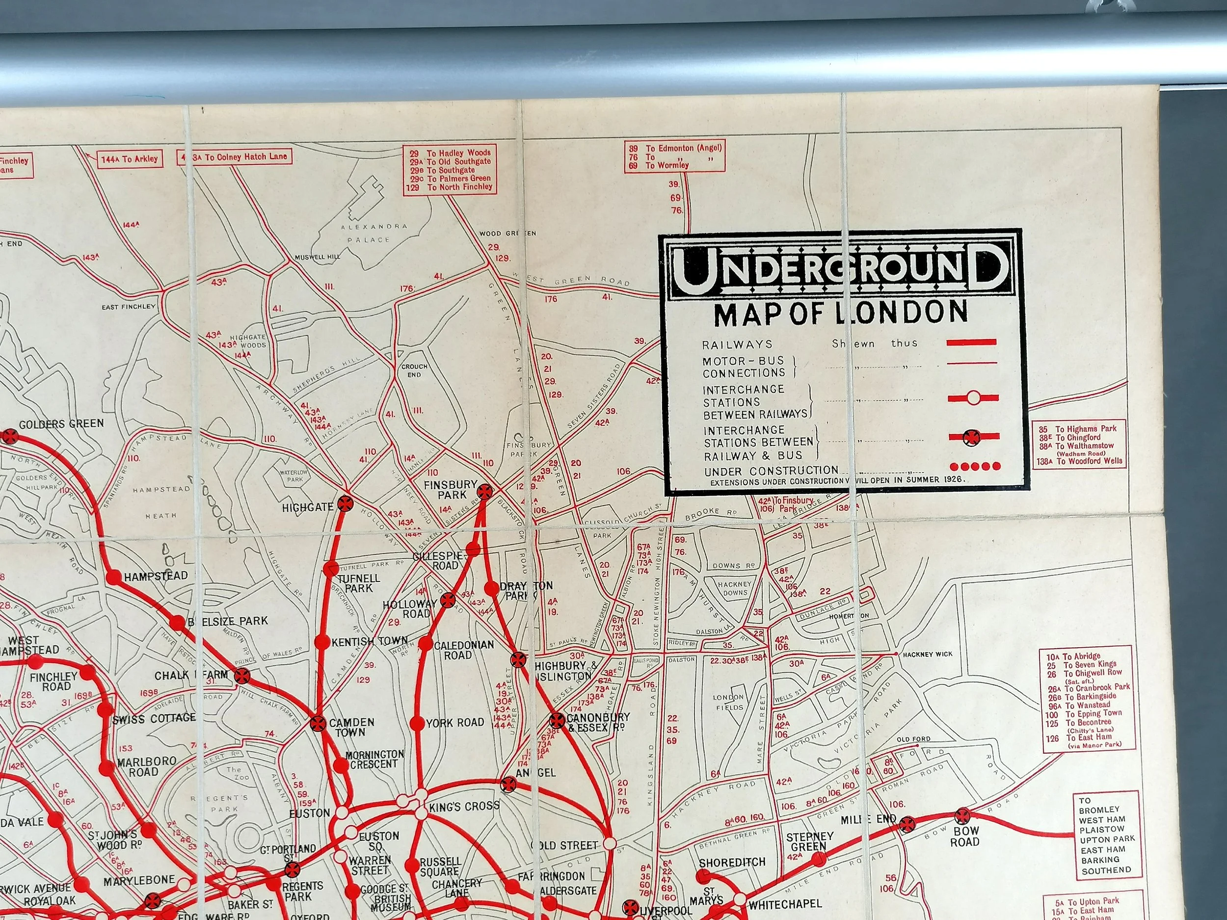
Underground Map of London (1926)
Published by Underground Group. Printed by Waterlow & Sons. Print Code 7-1000-4-1-26. Colour lithograph. Double Crown, Measures 77cm x 61cm (30 x 24 inches). Condition: Excellent. Double Crown poster cut into sections and laid to linen. Folded with bespoke covers.
This charming folding map is a professional adaptation of a rare double crown poster which would normally have been displayed at stations. Dated 1926 and in ‘double crown’ format (30 x 24 inches), the map shows the London Underground and it’s interchanges with other forms of transport operated by the Underground Group.
This two-tone design first appeared in 1924 as a smaller pocket-size map issued with a guidebook for London, published by the Underground Group. Whilst there is no designer credited for this map, Fred Stingemore is the most likely suspect. Stingemore’s linen-card pocket Underground maps were now in circulation and the first full-colour station maps, first issued in 1927, were also attributed to him.
The adaptation from poster to folding map has clearly been done by a professional hand and around the time of issue. The map has been cut into sections and laid to a high quality linen and finished with front and back paper covers. The hand written title reads “Map Shewing Underground Railways”.


