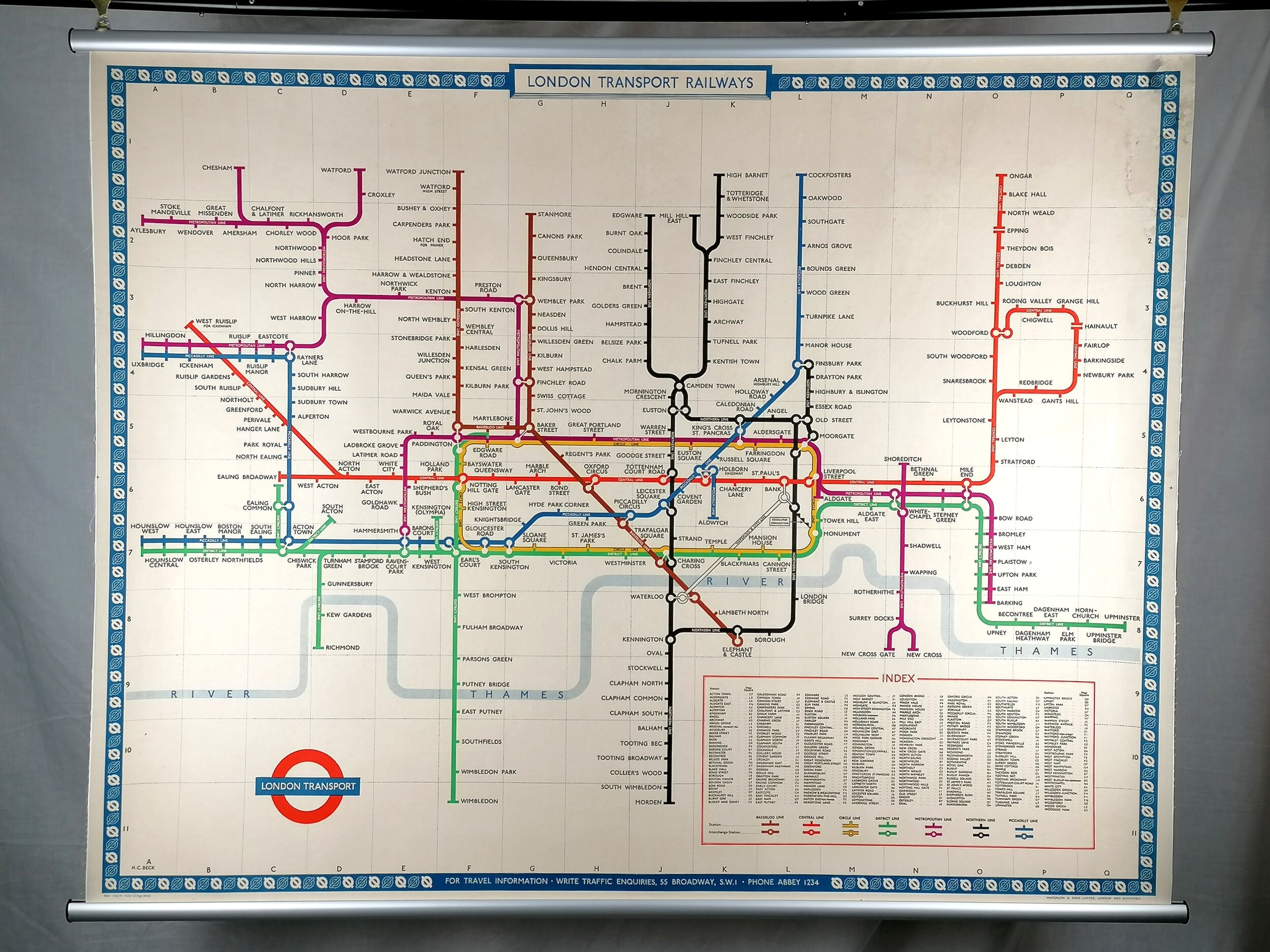
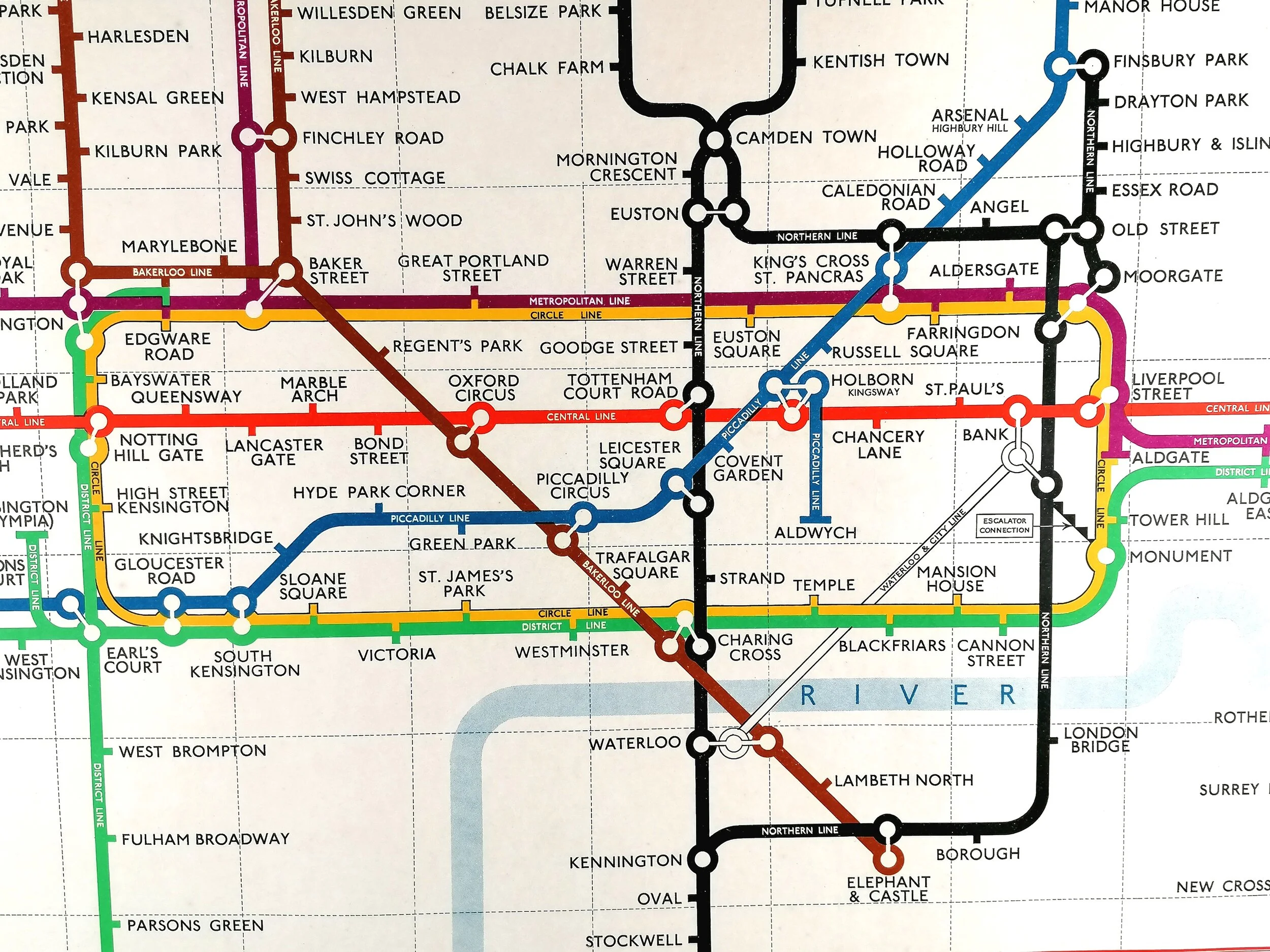
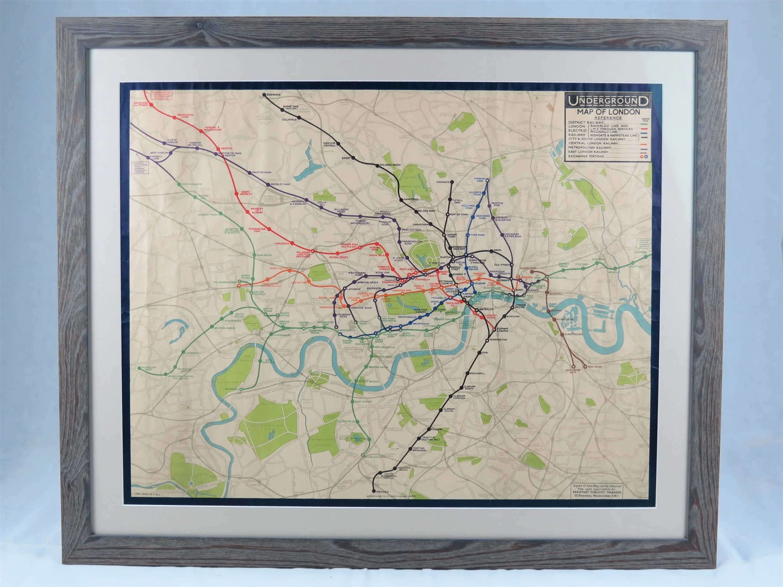
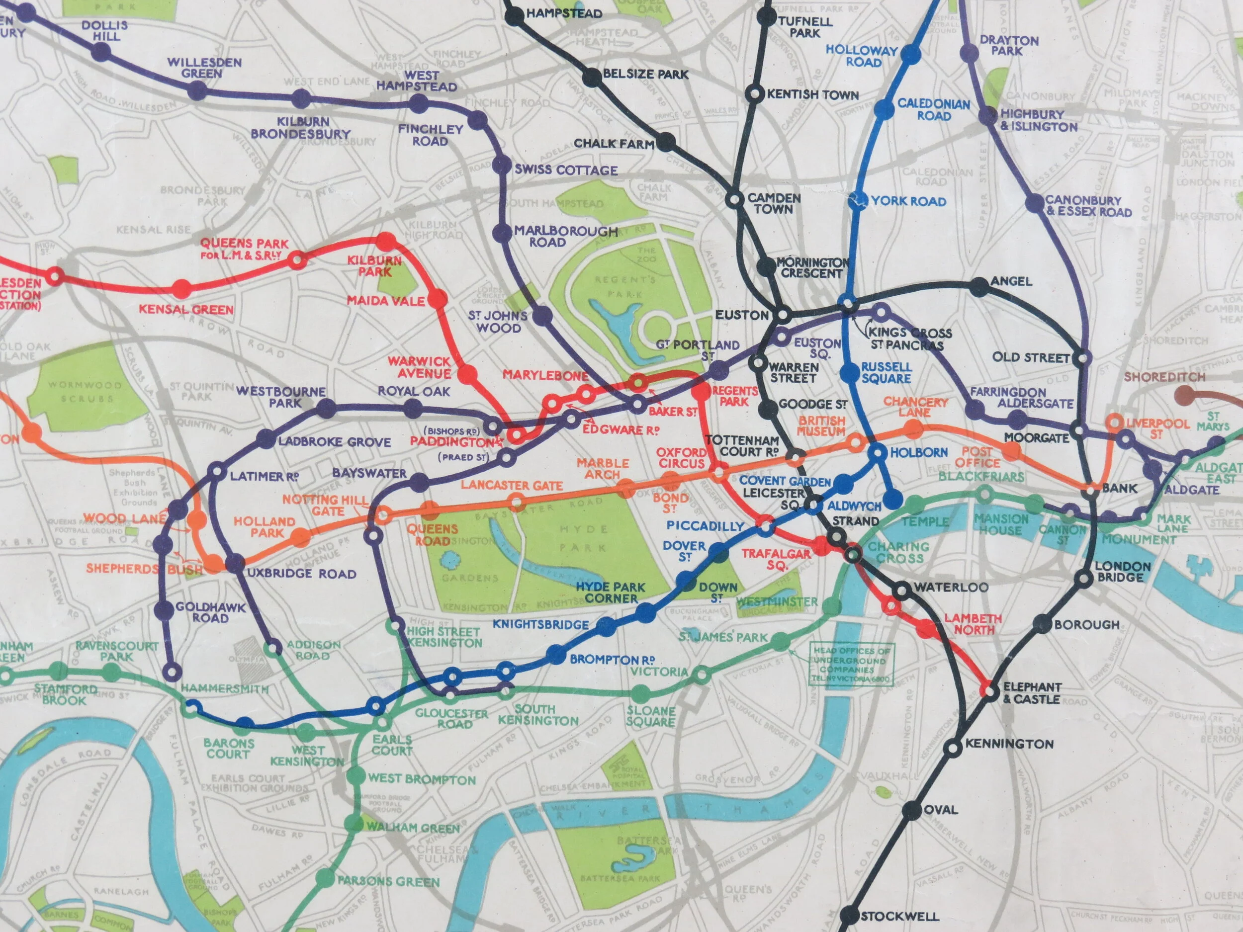
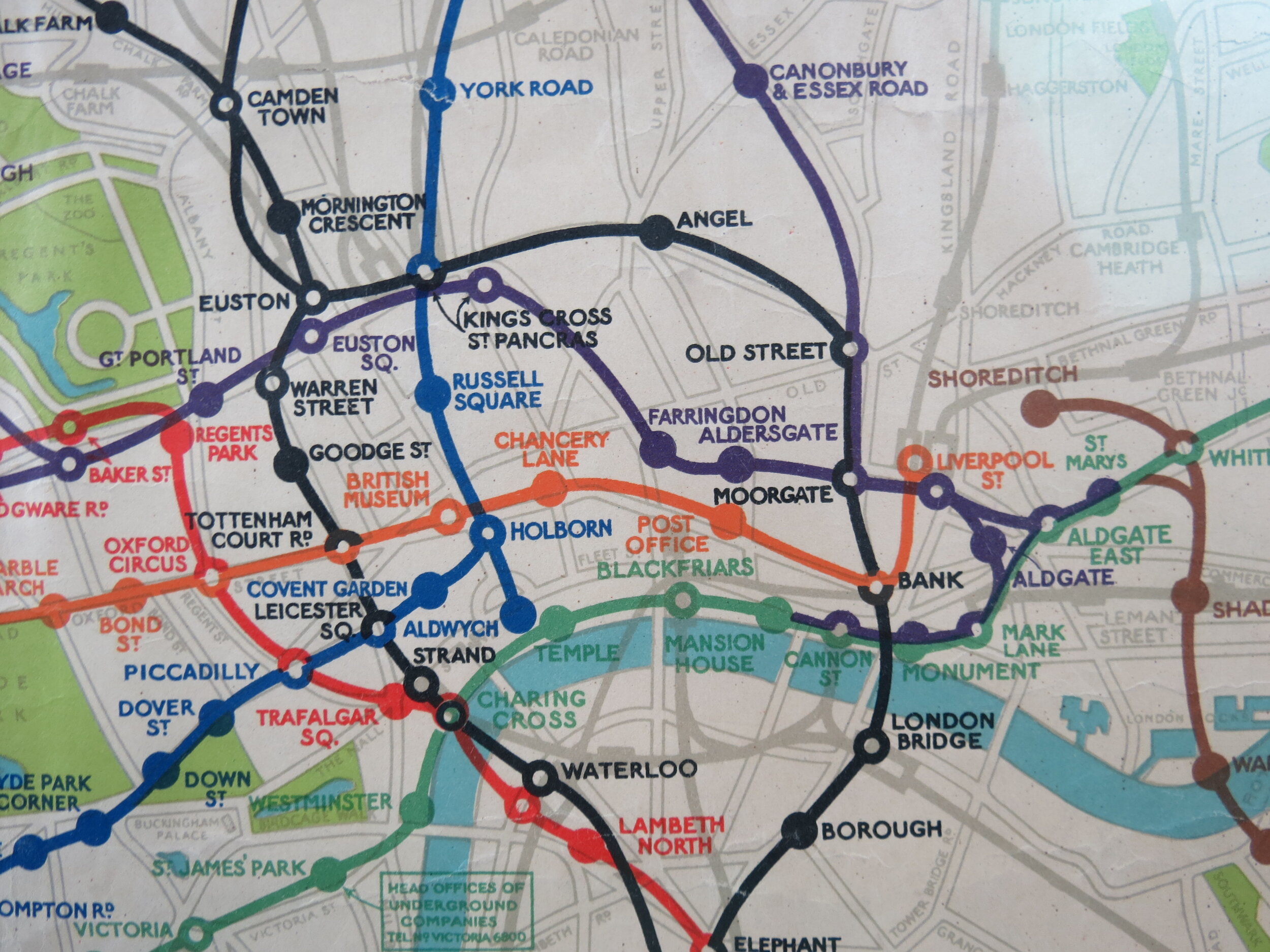
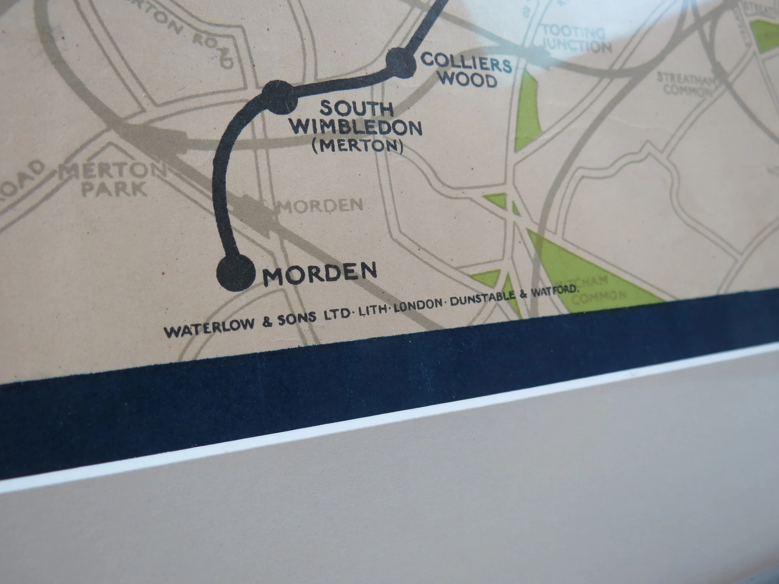
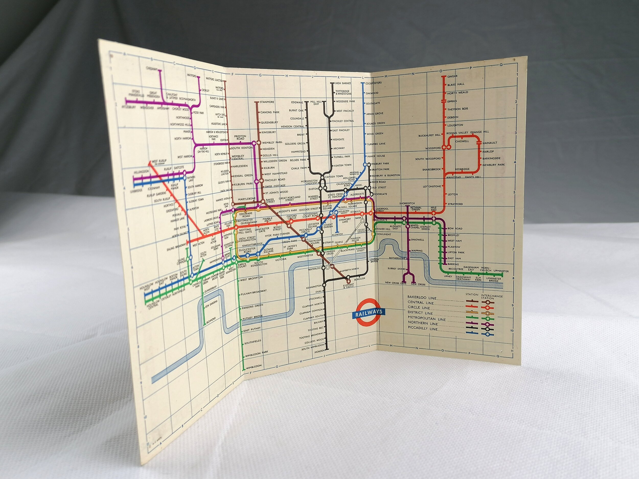
1921 London Underground Inner Area Pocket Map - By Macdonald Gill
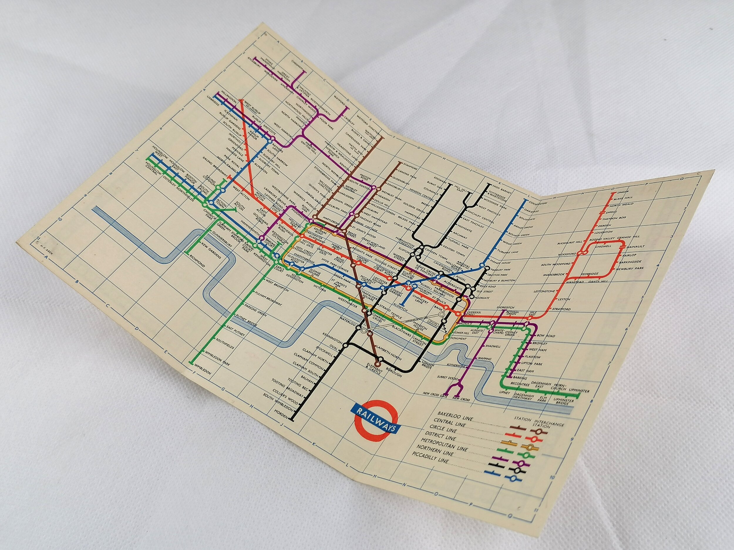
Inner Area Map of the Electric Railways of London (1921)
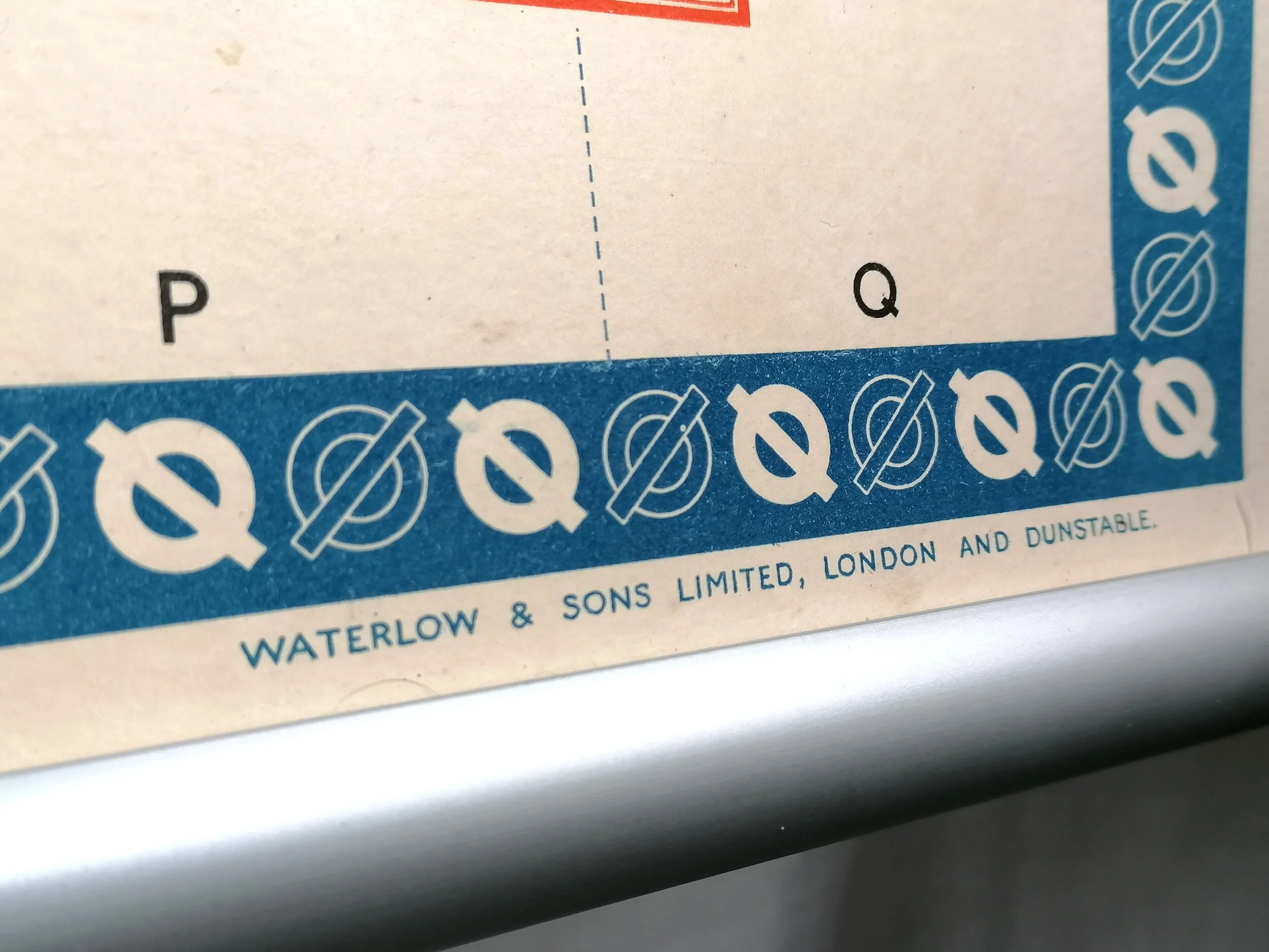
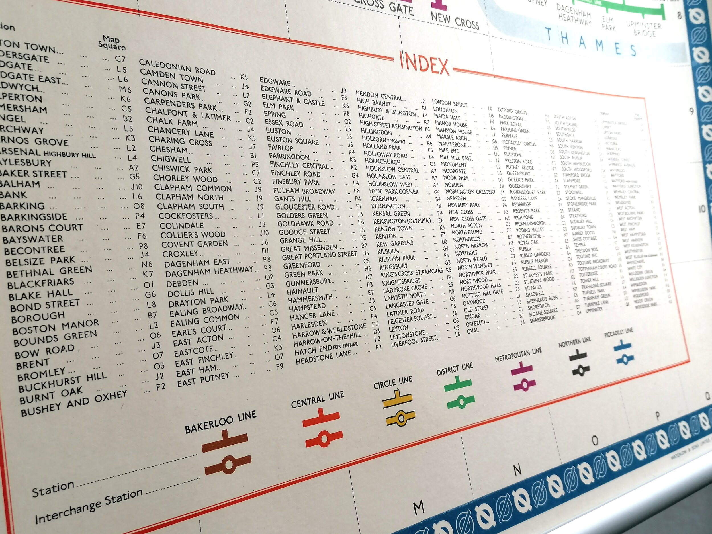
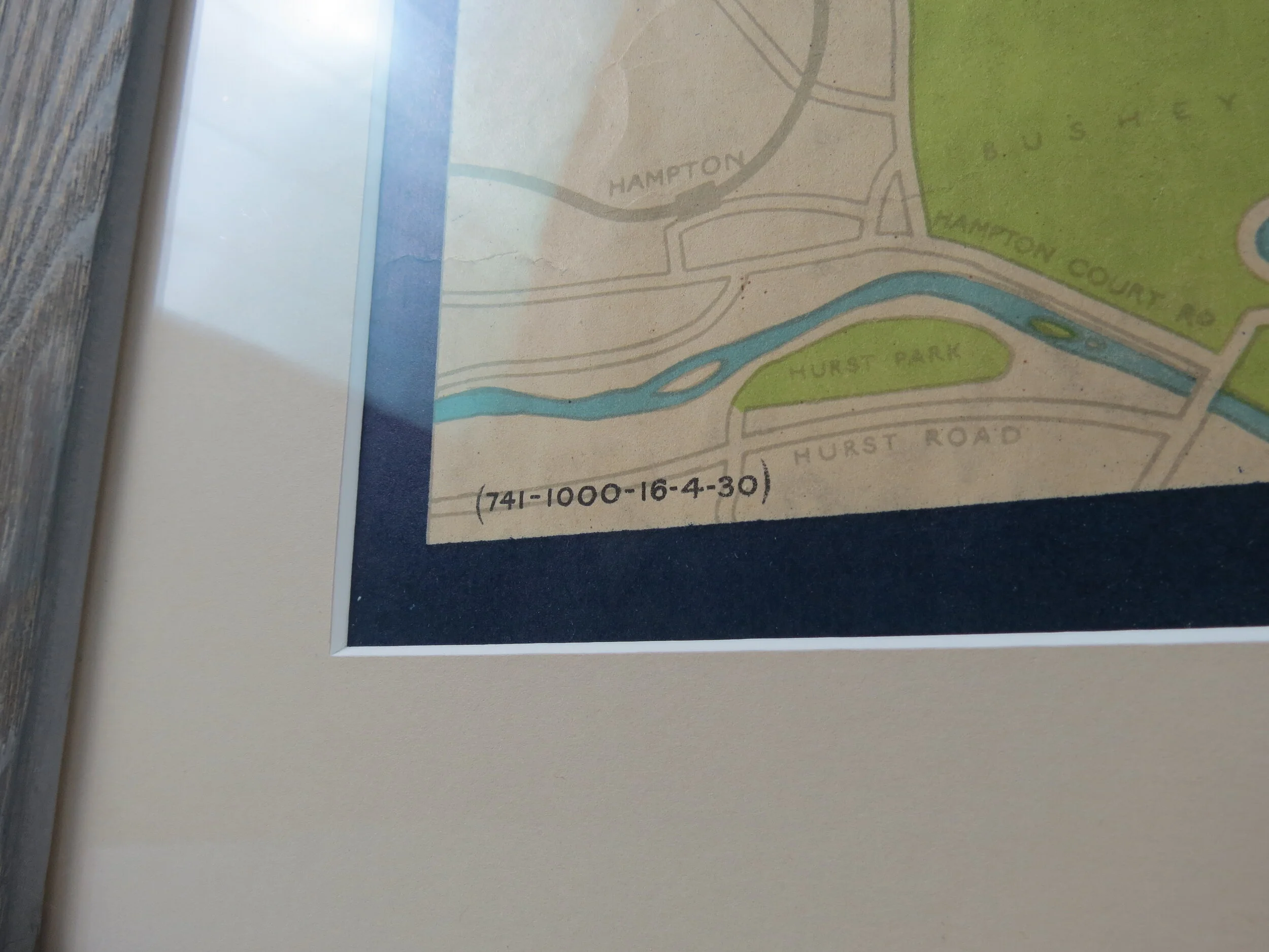
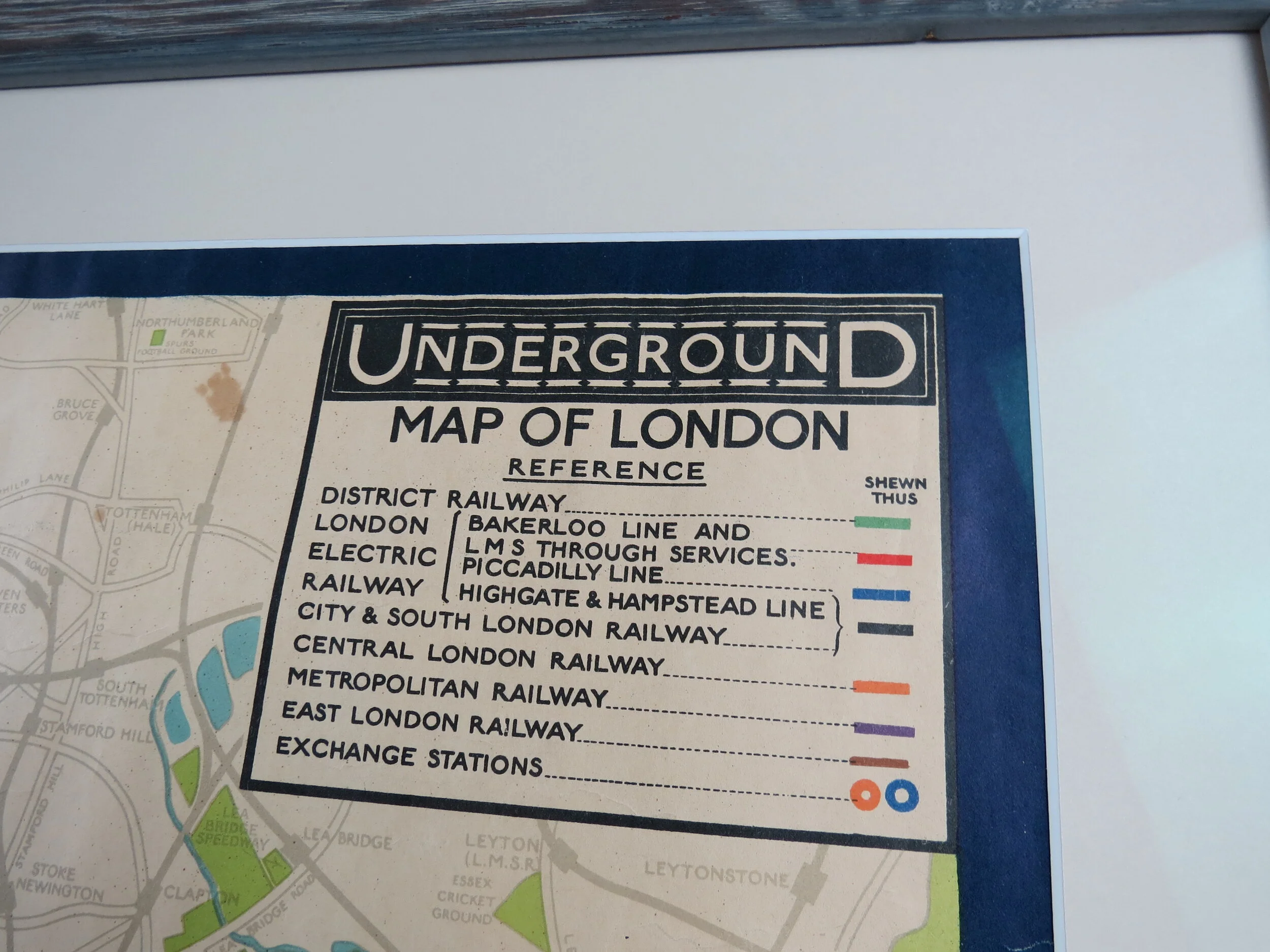
Designed by Macdonald Gill. Printed by Dangerfield Printing Co Ltd for London Underground Electric Railways. Bi-Fold Linen-card map. 1921. Print Code 118-125M-9-3-21. Measures 20cm x 12cm. Condition: Outstanding lightly used example.
This beautiful and rare edition of the London Underground 'Inner Area' map saw only one print run (March 1921) and is considered a true ancestor of the modern day tube map - This was only the 2nd map ever produced in this small bi-fold format for the London Underground (the first was lovely but rather useless tiny map in 1909).
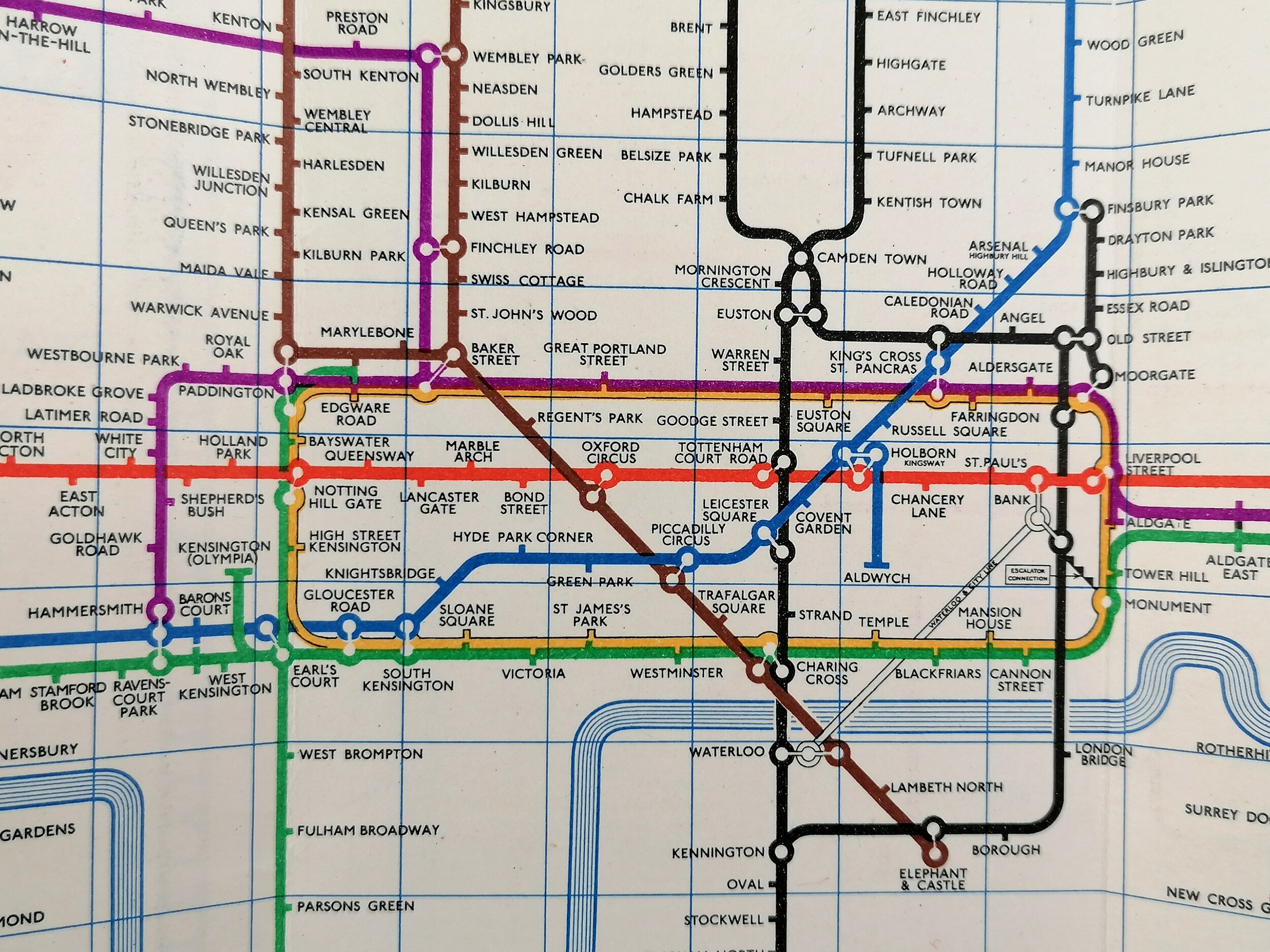
This 'Inner Area' pocket map was designed by Macdonald Gill who also designed the larger paper maps of the London Underground between 1920-1924. Gill applied an elegant and decorative quality to the Underground map with ornate borders and the use of calligraphy for station names whilst removing all topographical detail including the River Thames.
Max (as he was known to his friends) was a versatile and highly sought after artist, cartographer and illustrator that worked regularly with Frank Pick and the Underground Electric Railways Company. His most notable work for the Underground was in 1913 and the remarkable pictorial map of London titled "By Paying Us Your Pennies" (later renamed the Wonderground Map of London). Whilst Gill is best known for defining a new genre in pictorial mapping he boasts an enormous and varied body of work from childrens book illustration to architecture.
FREE UK DELIVERY. Non-UK Delivery available, please request a quotation
Inner Area Map of the Electric Railways of London (1921)
Designed by Macdonald Gill. Printed by Dangerfield Printing Co Ltd for London Underground Electric Railways. Bi-Fold Linen-card map. 1921. Print Code 118-125M-9-3-21. Measures 20cm x 12cm. Condition: Outstanding lightly used example.
This beautiful and rare edition of the London Underground 'Inner Area' map saw only one print run (March 1921) and is considered a true ancestor of the modern day tube map - This was only the 2nd map ever produced in this small bi-fold format for the London Underground (the first was lovely but rather useless tiny map in 1909).
This 'Inner Area' pocket map was designed by Macdonald Gill who also designed the larger paper maps of the London Underground between 1920-1924. Gill applied an elegant and decorative quality to the Underground map with ornate borders and the use of calligraphy for station names whilst removing all topographical detail including the River Thames.
Max (as he was known to his friends) was a versatile and highly sought after artist, cartographer and illustrator that worked regularly with Frank Pick and the Underground Electric Railways Company. His most notable work for the Underground was in 1913 and the remarkable pictorial map of London titled "By Paying Us Your Pennies" (later renamed the Wonderground Map of London). Whilst Gill is best known for defining a new genre in pictorial mapping he boasts an enormous and varied body of work from childrens book illustration to architecture.
FREE UK DELIVERY. Non-UK Delivery available, please request a quotation