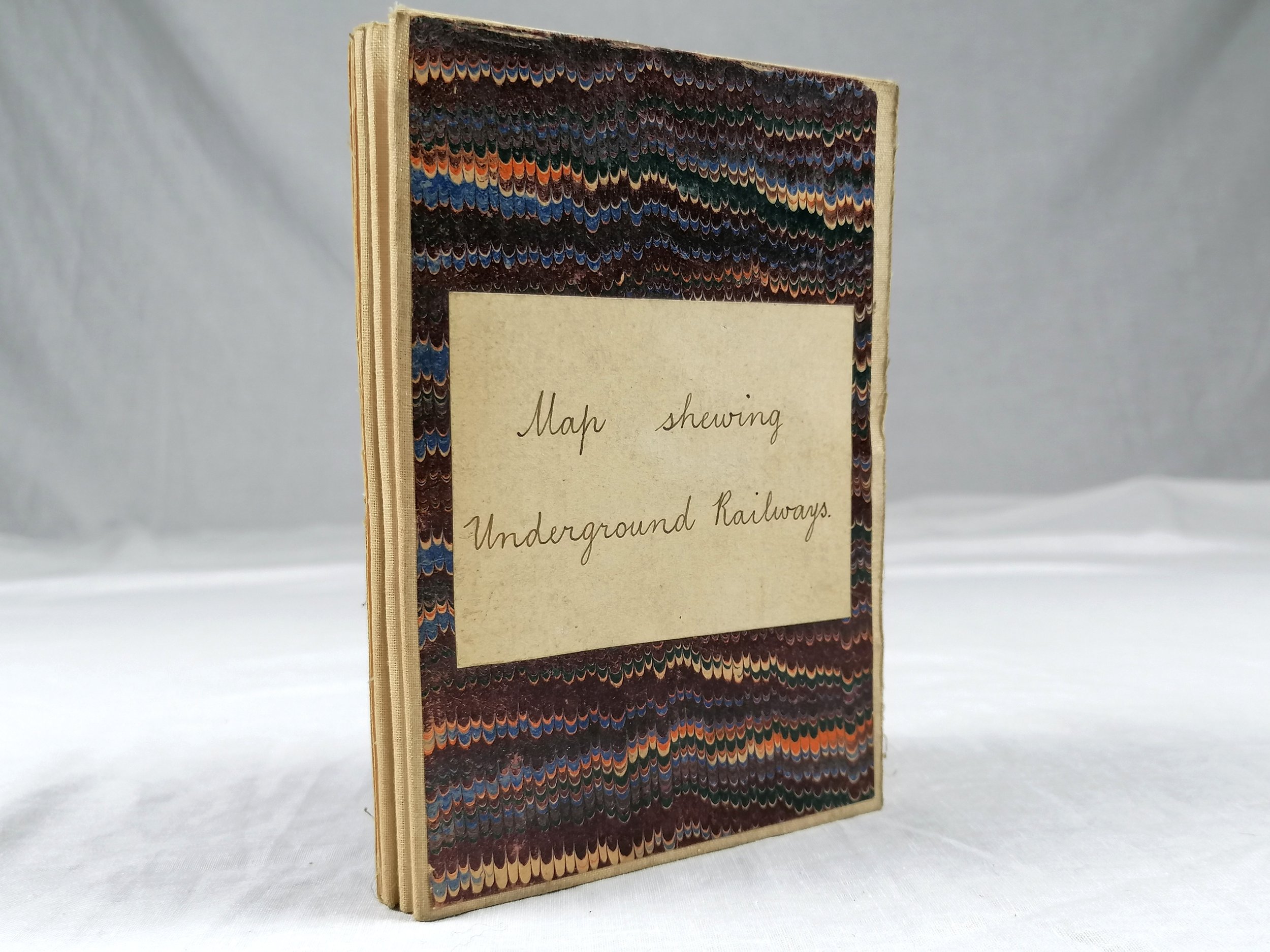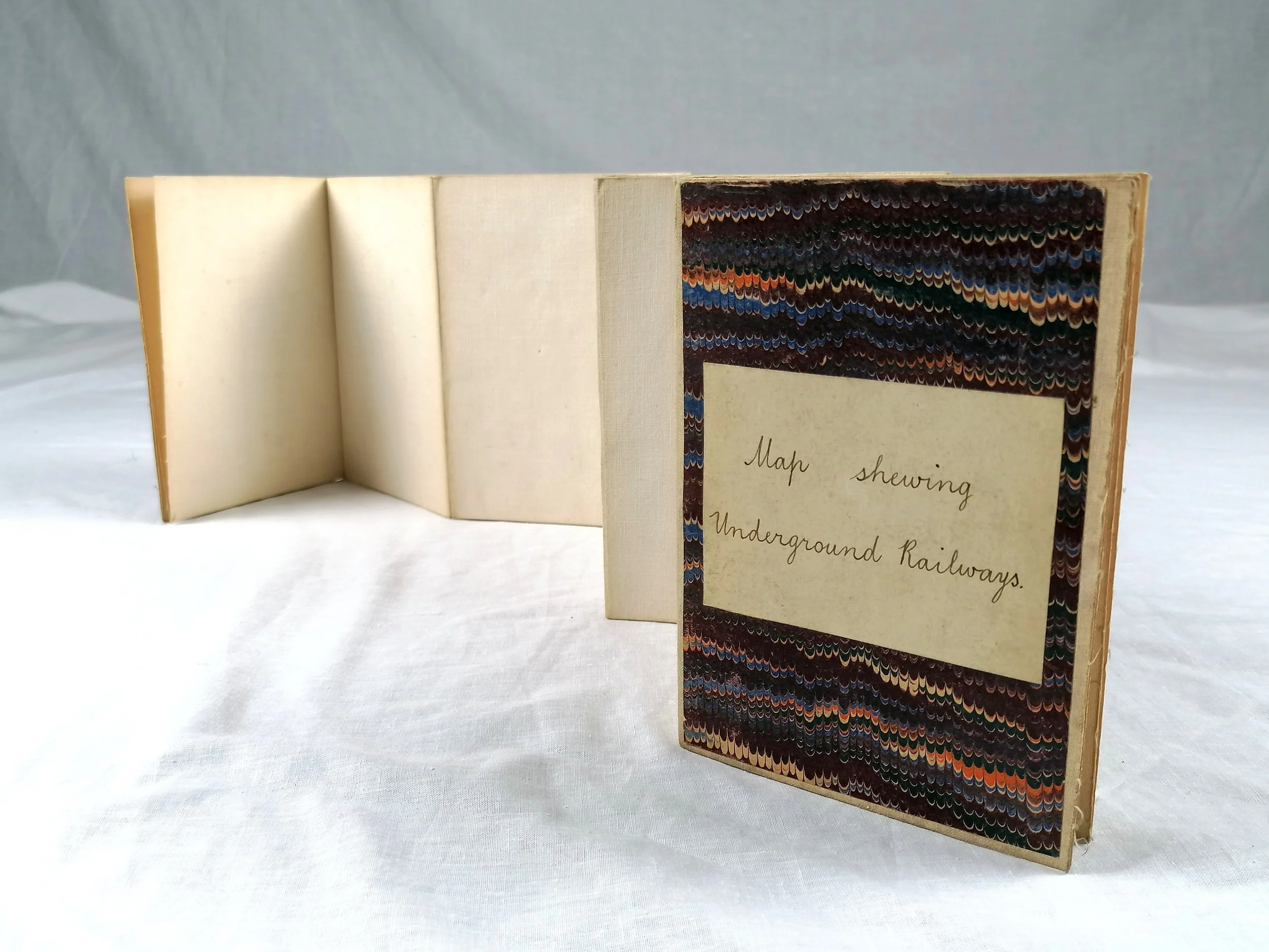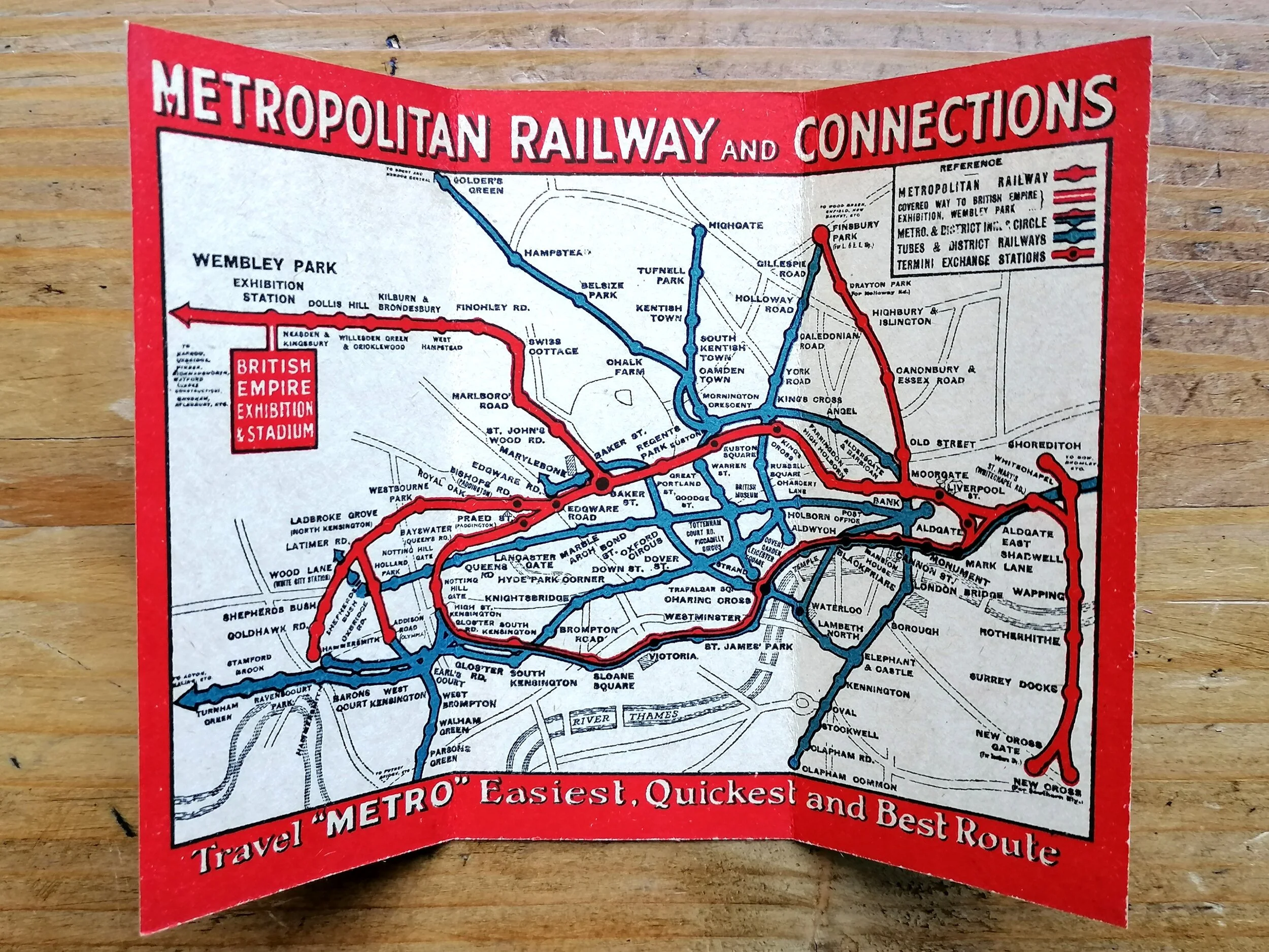


1924 Metropolitan Railway Pocket Map - British Empire Exhibition
"How to Get to the British Empire Exhibition, Wembley Park - Metropolitan Railway and Connections"
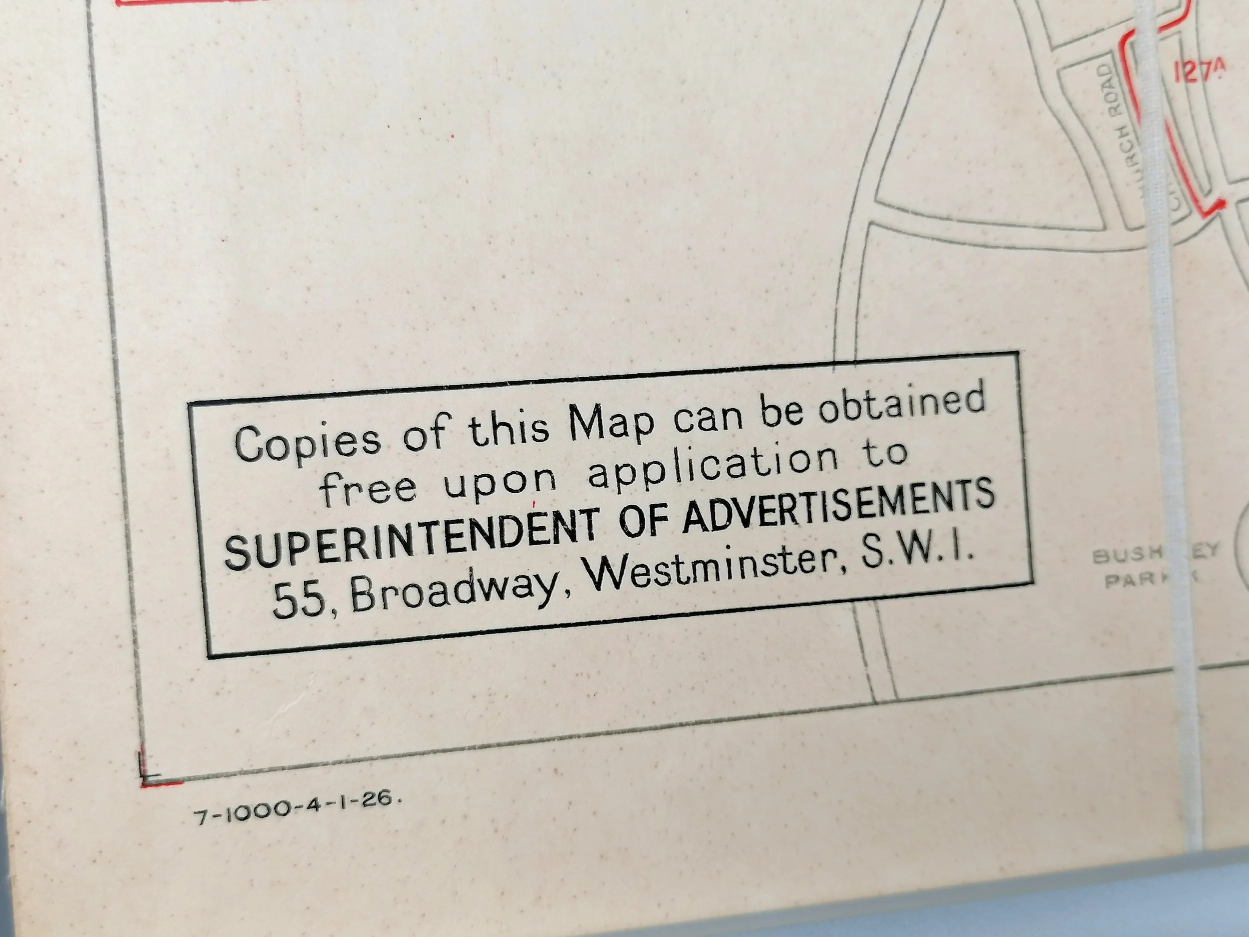
Undated Circa 1924. Card Bi-fold pocket map. Published by Metropolitan Railway Company. Measures 11cm x 15cm. Condition: outstanding, a near mint example.
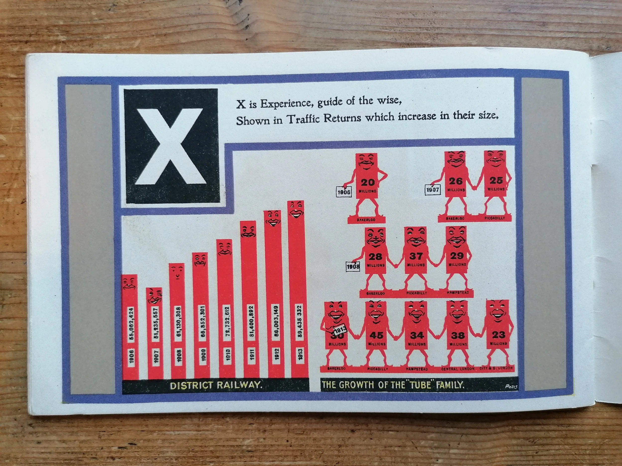
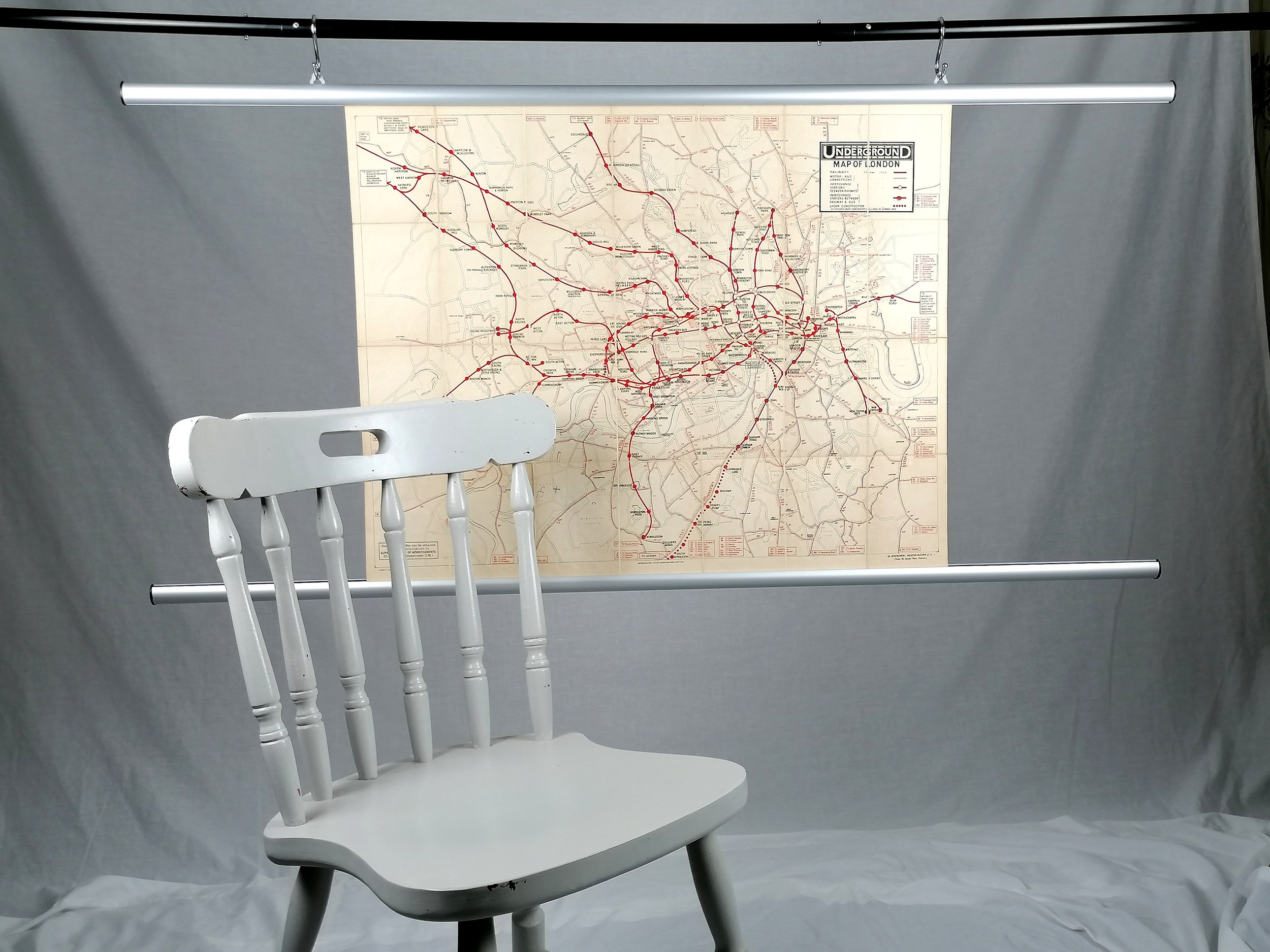
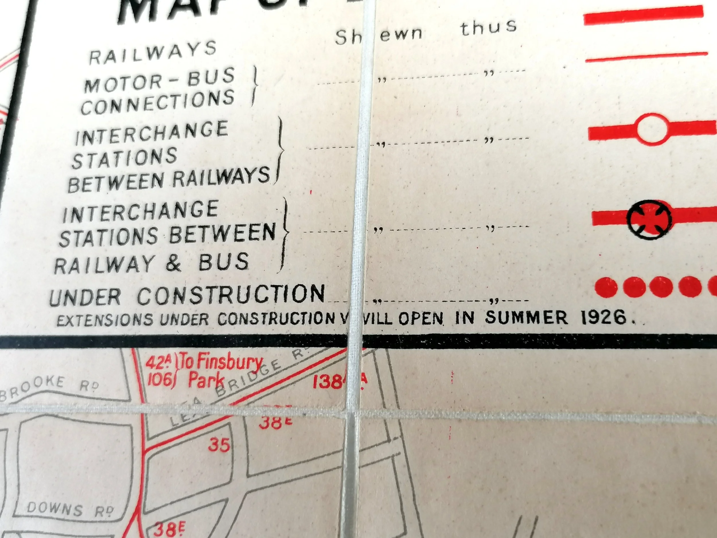
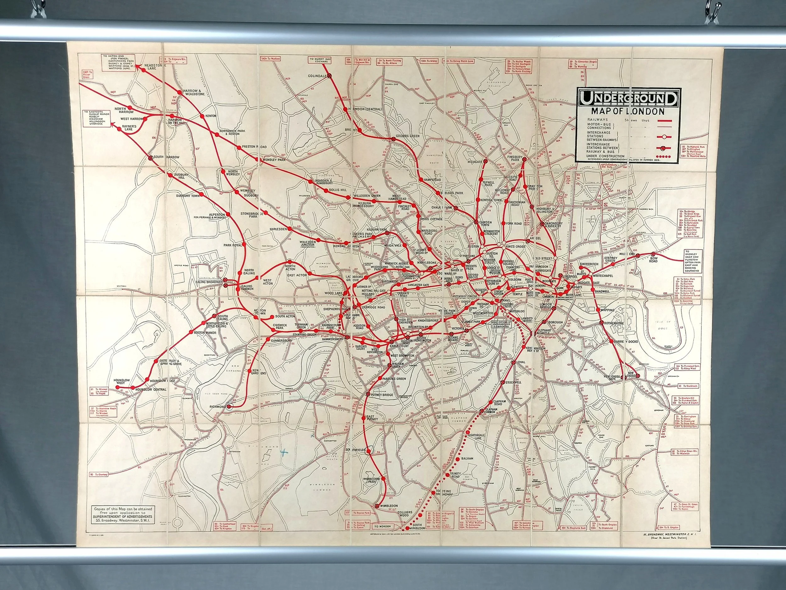
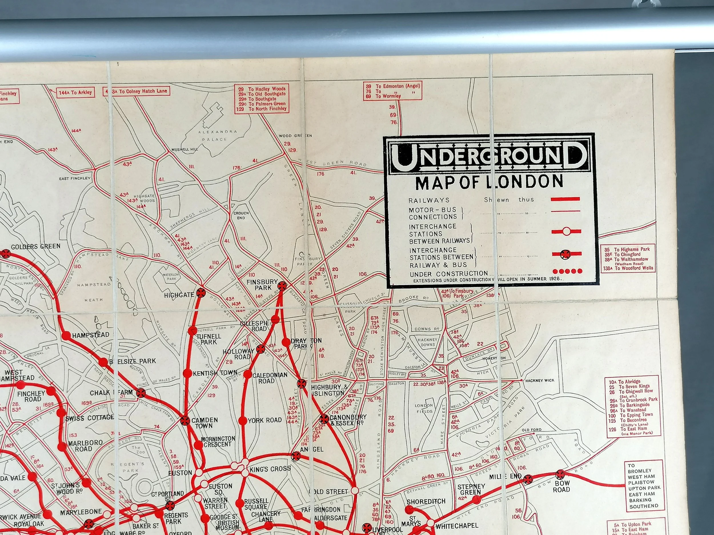
This tiny pocket map is a true precursor to the modern "Tube Map". The card Bi-fold design was just the third example of such a pocket map presenting the London Underground, (also attempted in 1909 and 1921). In 1925, Fred Stingemore maps continued this format and like his predecessors, grappled with getting so much detail onto such a small format. A problem that was finally summounted by Harry Beck with his iconic diagram in 1933.
Despite the agreement between the various London Underground Railway companies to coordinate under a single brand and map, the Metropolitan Railway continued to publish special issues of their own map, particularly in the promotion of "Metro-land" in the 1920s/30s. Whilst most of these were larger fold-out paper maps, the Metropolitan Railway also issued this British Empire Exhibition map in 1924-1925 whicj saw three issues, each with a different colour scheme on the cover. The size and map design are very similar to the first Bi-fold map produced by David Allen Printing Company in 1909 Map.
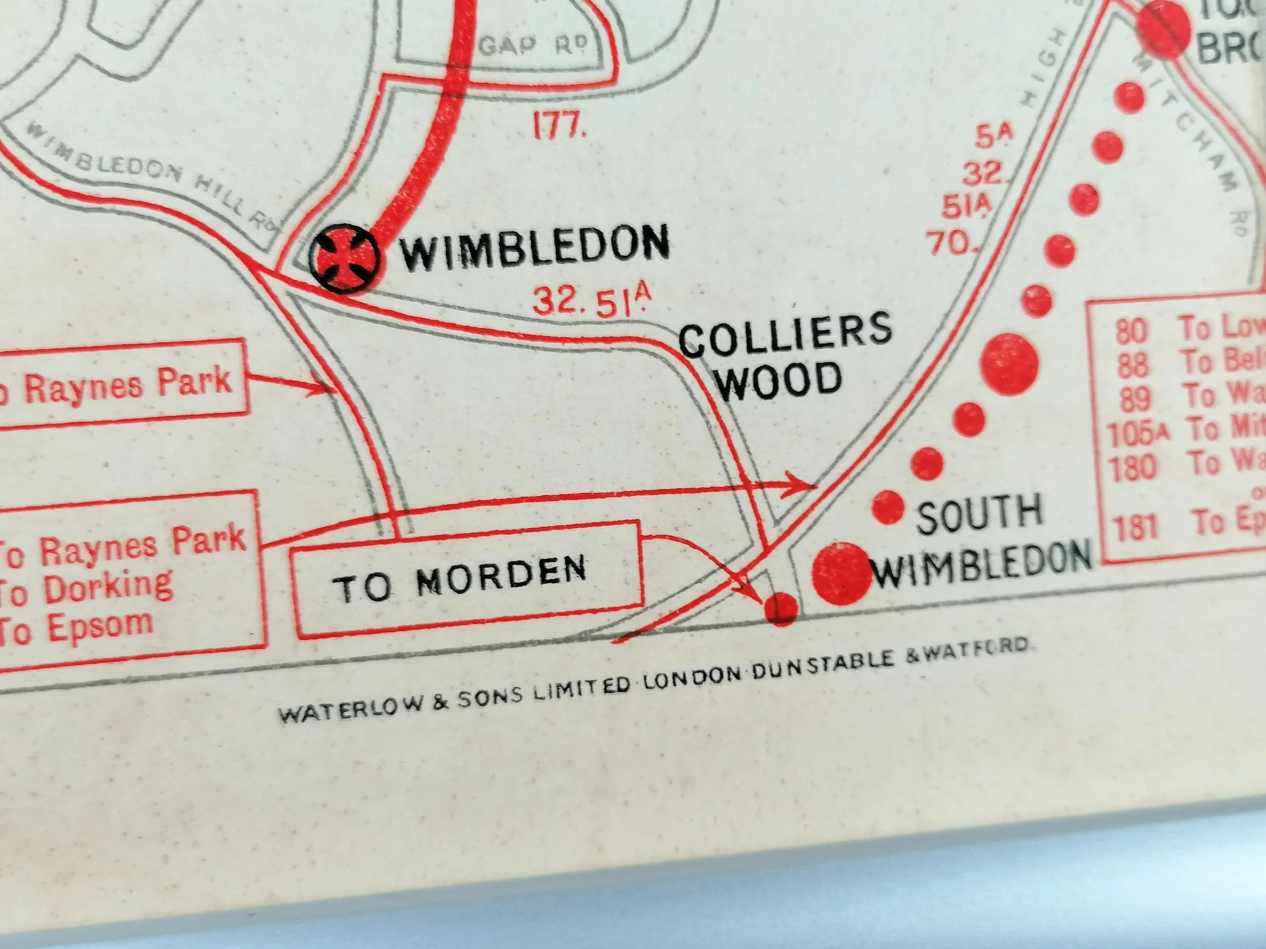
Whilst there is little mention of the other Underground Railways lines, the majority of the network is shown in relation to the Metropolitan Railway. Looking at this map, one would be forgiven for thinking that the Met was the only line on which to travel to the Exhibition. In fact, the Exhibition was easily accessed via Sudbury Town and Alperton, (District Railway), and Wembley (For Sudbury) on the Bakerloo. Not showing these lines is rather underhand by the Met and not at all in the interest of the passenger!
With over 27 million visitors, the British Empire Exhibition was the largest exhibition in the world in its day and it was indeed a mighty show of imperial strength. The whole site was purpose built including the Empire Stadium which became Wembley Stadium.
"How to Get to the British Empire Exhibition, Wembley Park - Metropolitan Railway and Connections"
Undated Circa 1924. Card Bi-fold pocket map. Published by Metropolitan Railway Company. Measures 11cm x 15cm. Condition: outstanding, a near mint example.
This tiny pocket map is a true precursor to the modern "Tube Map". The card Bi-fold design was just the third example of such a pocket map presenting the London Underground, (also attempted in 1909 and 1921). In 1925, Fred Stingemore maps continued this format and like his predecessors, grappled with getting so much detail onto such a small format. A problem that was finally summounted by Harry Beck with his iconic diagram in 1933.
Despite the agreement between the various London Underground Railway companies to coordinate under a single brand and map, the Metropolitan Railway continued to publish special issues of their own map, particularly in the promotion of "Metro-land" in the 1920s/30s. Whilst most of these were larger fold-out paper maps, the Metropolitan Railway also issued this British Empire Exhibition map in 1924-1925 whicj saw three issues, each with a different colour scheme on the cover. The size and map design are very similar to the first Bi-fold map produced by David Allen Printing Company in 1909 Map.
Whilst there is little mention of the other Underground Railways lines, the majority of the network is shown in relation to the Metropolitan Railway. Looking at this map, one would be forgiven for thinking that the Met was the only line on which to travel to the Exhibition. In fact, the Exhibition was easily accessed via Sudbury Town and Alperton, (District Railway), and Wembley (For Sudbury) on the Bakerloo. Not showing these lines is rather underhand by the Met and not at all in the interest of the passenger!
With over 27 million visitors, the British Empire Exhibition was the largest exhibition in the world in its day and it was indeed a mighty show of imperial strength. The whole site was purpose built including the Empire Stadium which became Wembley Stadium.
- Price does NOT include delivery.
- Delivery/collection must be purchased/organised separate to product purchase.
- Please ensure you have read and agree to the conditions within our Returns Policy (link at bottom of page)
- Please use the Enquiry Form below to request a delivery estimate, if required.
Enquire about this item