1924 London Underground map - By JC Betts
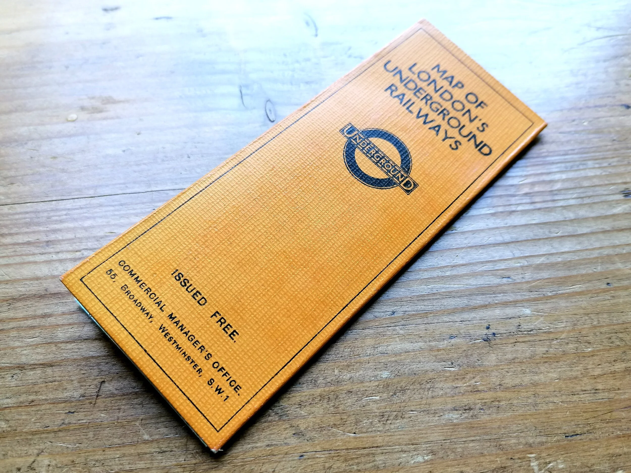
Underground - What To See & How To Travel - Map of The Electric Railways of London - Winter 1924/25.
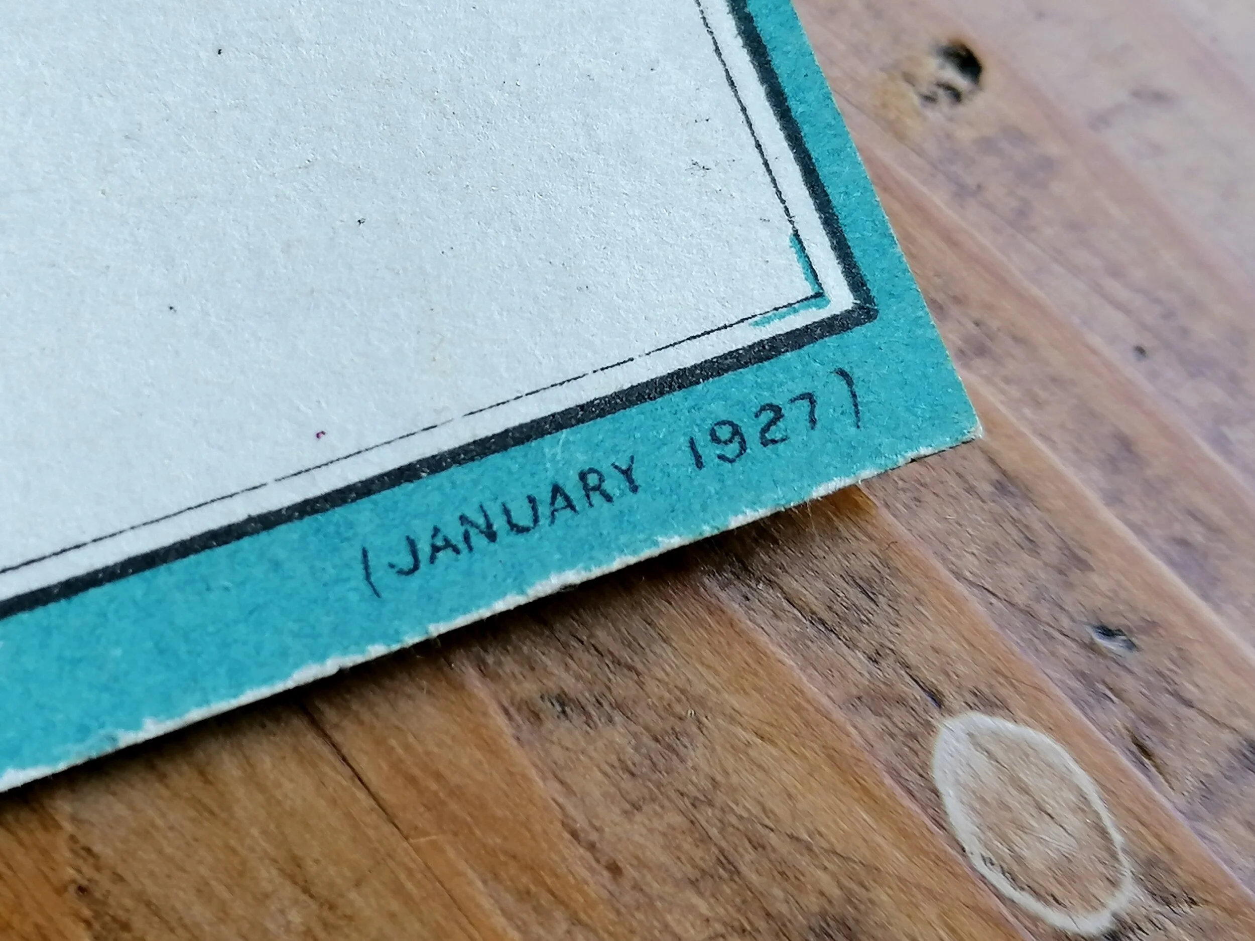
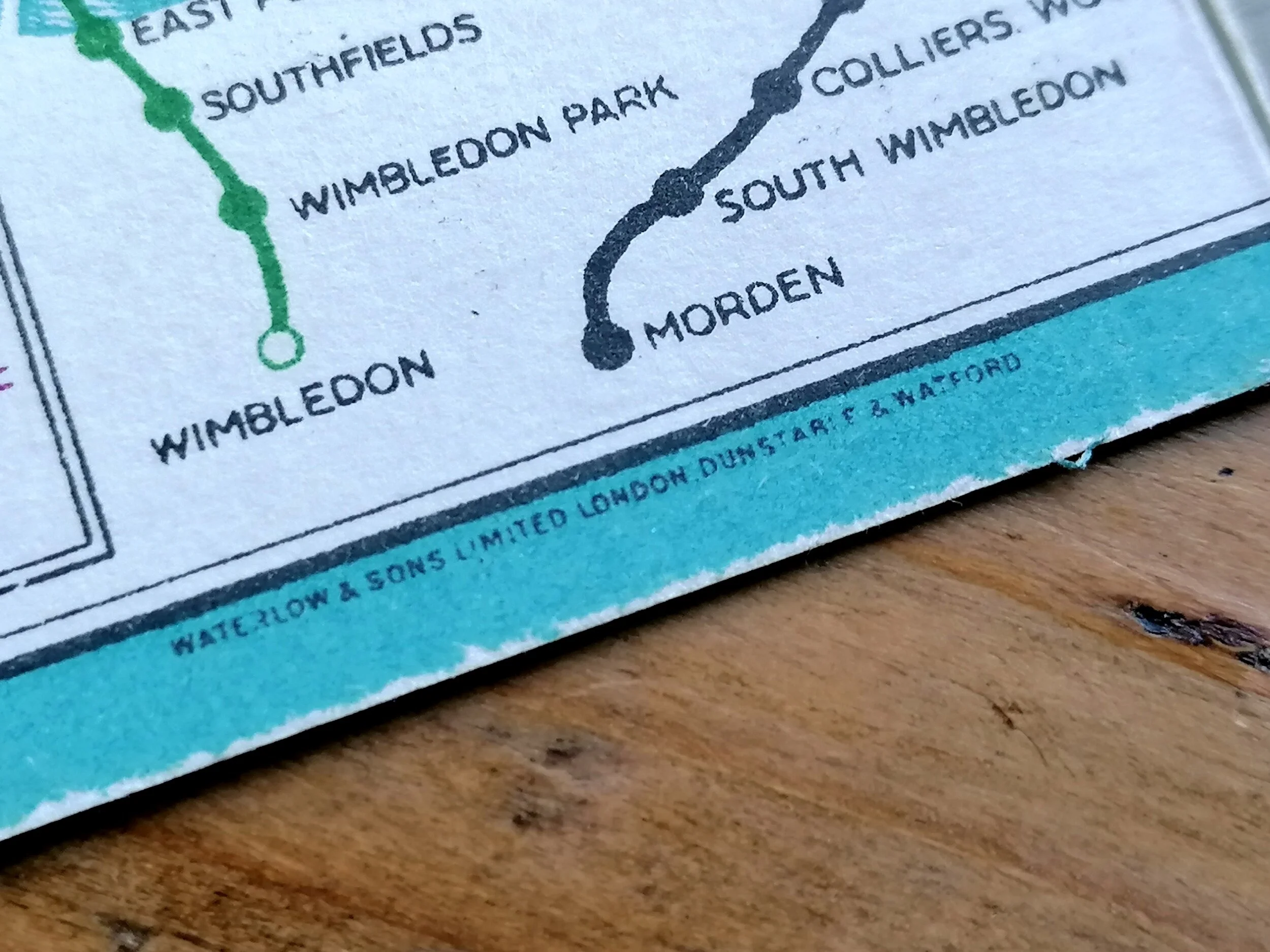
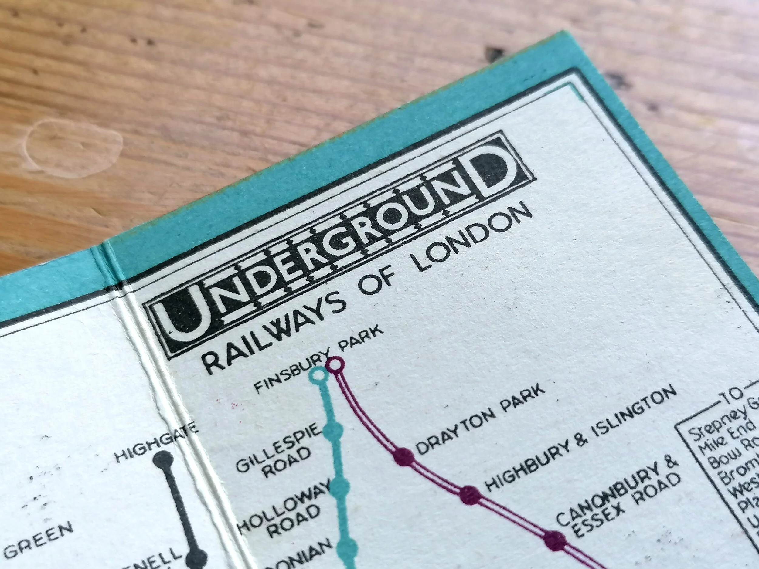
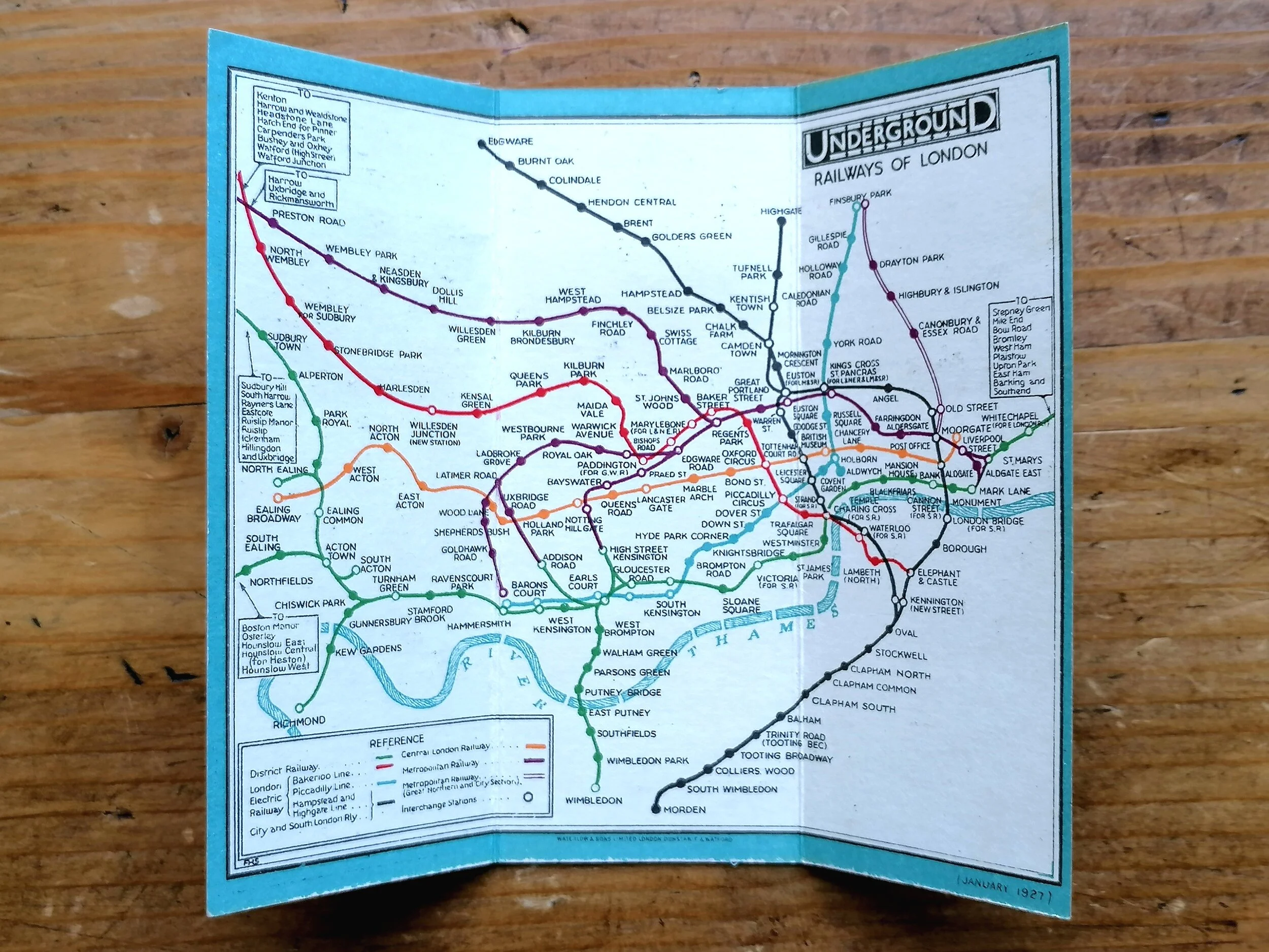
Designed by JC Betts. Printed by Waterlow & Sons for London Underground Group. Dated November 1924. Folding paper map, 45cm x 37cm (unfolded). Condition: Really excellent example. A few foxing stains and signs of once being attached to a guide book along one edge.
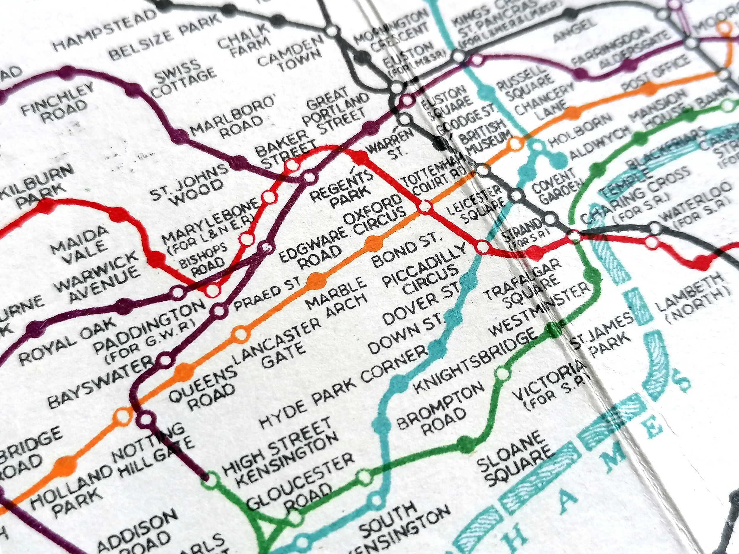
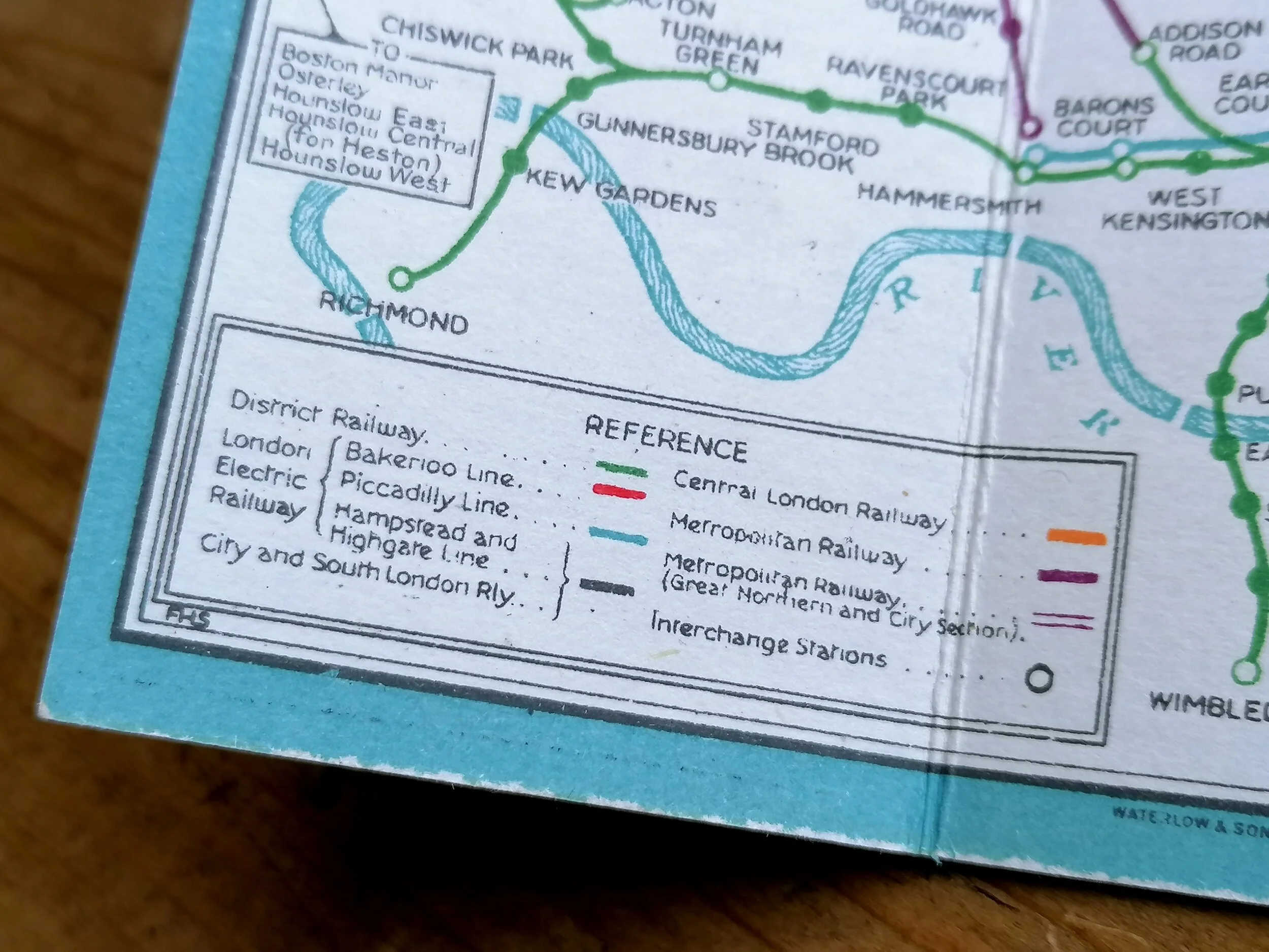
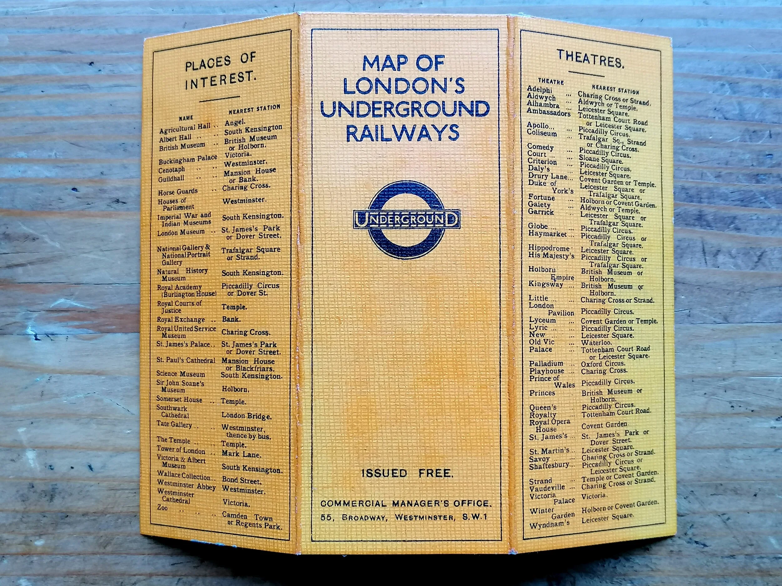
This London Underground map - designed by JC Betts - stands is dramatic contrast to the decorative Macdonald Gill pocket maps it replaced. In the JC Betts design, we see a return of topographic background detail and a the use of a modern typeface. Specifically designed for tourists, this map focuses on Central London with numbered icons highlighting the main sights, theatres and museums.
The decorative title and pictorial reference key make for a pleasing, if not rather busy, visual. The JC Betts design was issued for just 1 year between 1924-1925 - replaced by the small bi-fold pocket maps by Fred Stingemore that ran until HC Beck's revolutionary diagram was issued in Jannuanry 1933.
FREE UK DELIVERY. Non-UK Delivery available, please request a quotation
Underground - What To See & How To Travel - Map of The Electric Railways of London - Winter 1924/25.
Designed by JC Betts. Printed by Waterlow & Sons for London Underground Group. Dated November 1924. Folding paper map, 45cm x 37cm (unfolded). Condition: Really excellent example. A few foxing stains and signs of once being attached to a guide book along one edge.
This London Underground map - designed by JC Betts - stands is dramatic contrast to the decorative Macdonald Gill pocket maps it replaced. In the JC Betts design, we see a return of topographic background detail and a the use of a modern typeface. Specifically designed for tourists, this map focuses on Central London with numbered icons highlighting the main sights, theatres and museums.
The decorative title and pictorial reference key make for a pleasing, if not rather busy, visual. The JC Betts design was issued for just 1 year between 1924-1925 - replaced by the small bi-fold pocket maps by Fred Stingemore that ran until HC Beck's revolutionary diagram was issued in Jannuanry 1933.
FREE UK DELIVERY. Non-UK Delivery available, please request a quotation