1912 Map of London's Tubes - Harrods "London in Your Pocket"
"London in Your Pocket" for 1913 featuring a "Map of London's Tubes showing position of HARRODS" (1912)
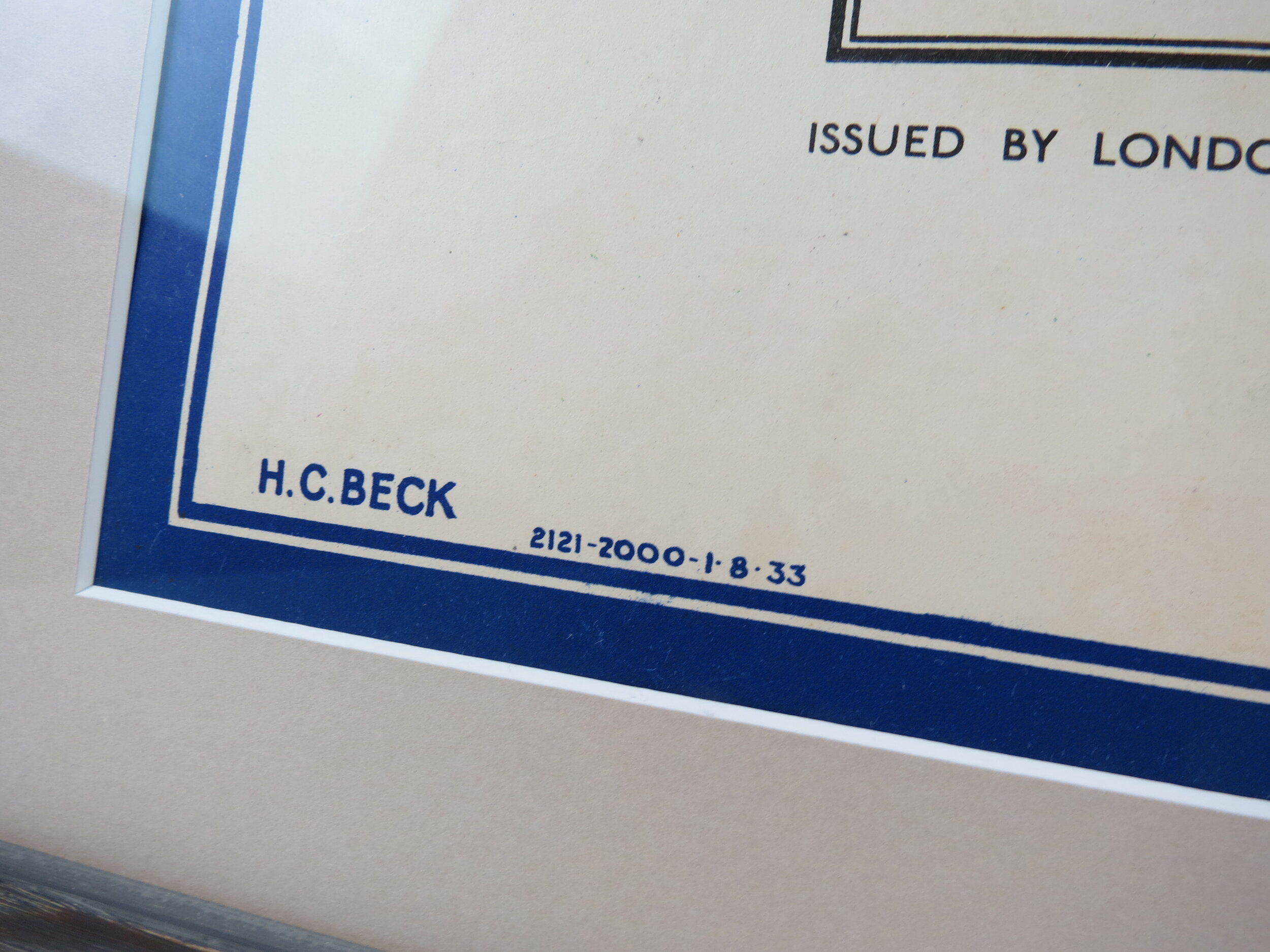
Published by Harrods Ltd and compliments of The Cunard Steamship Company Ltd. 30 page pocket guide, measures 6cm x 9cm. Excellent condition for age.
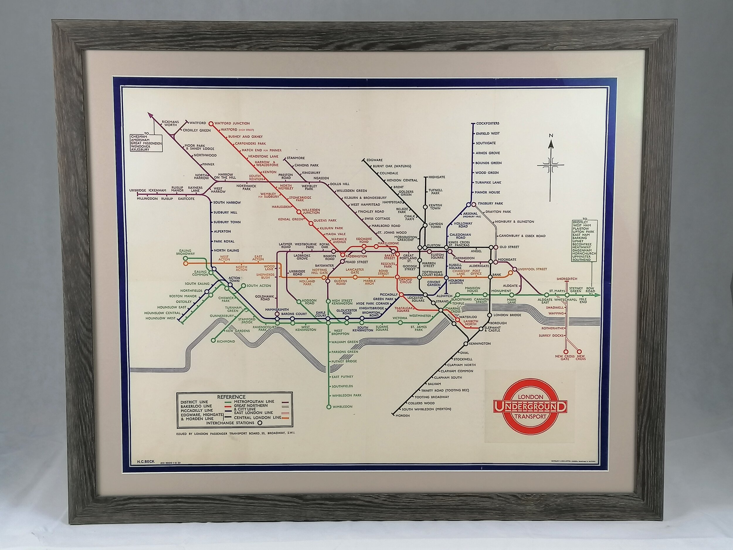
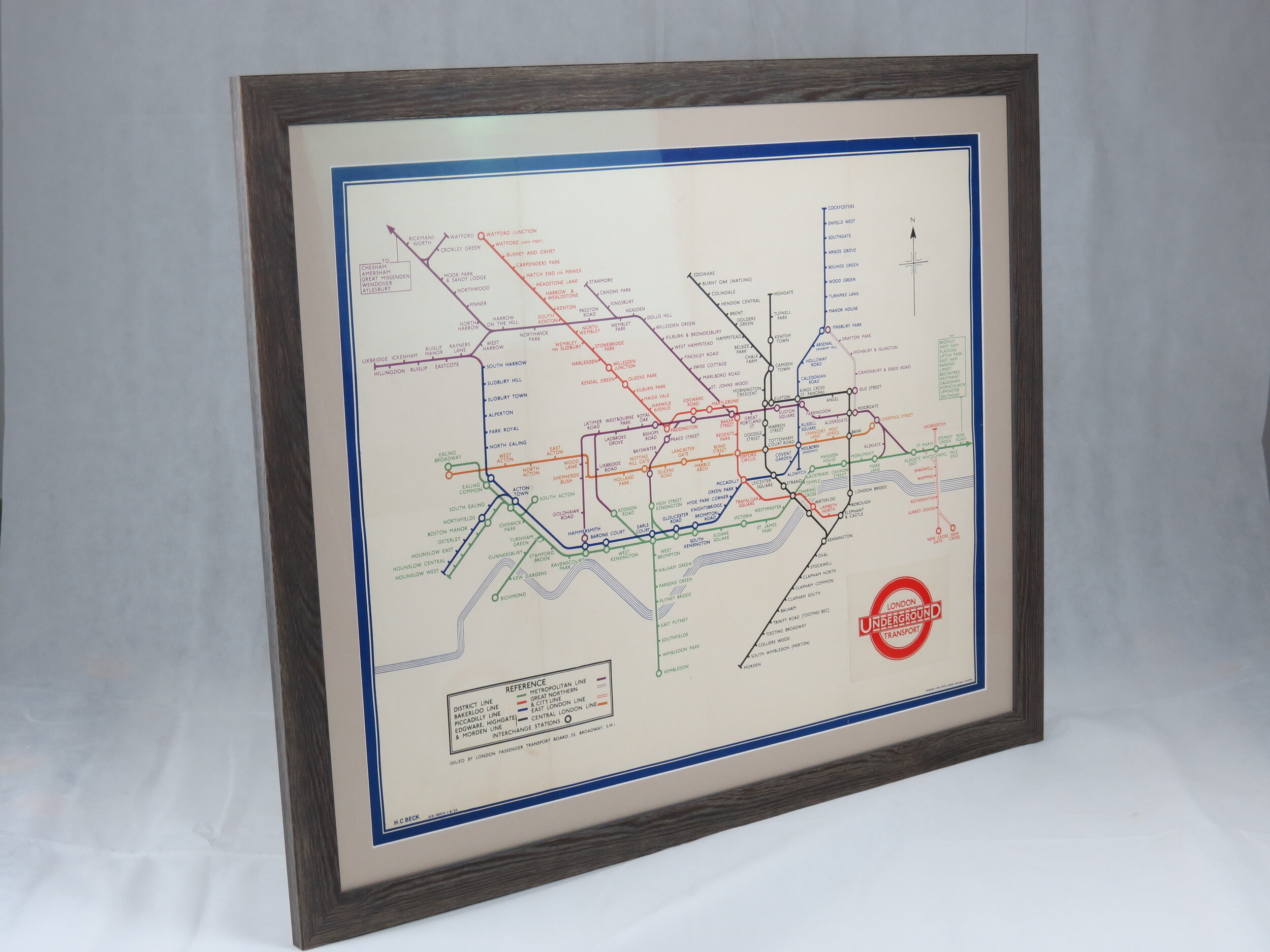
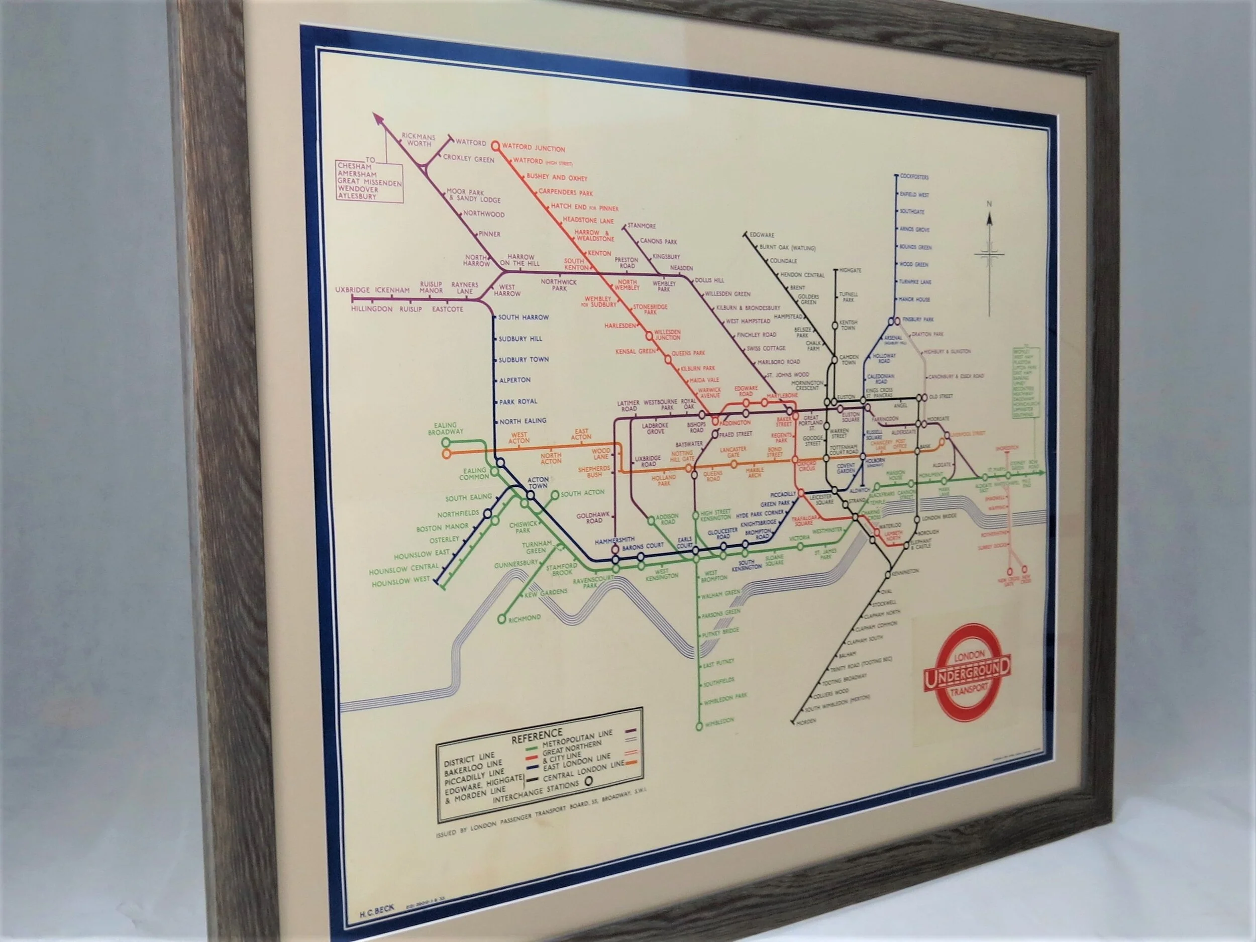
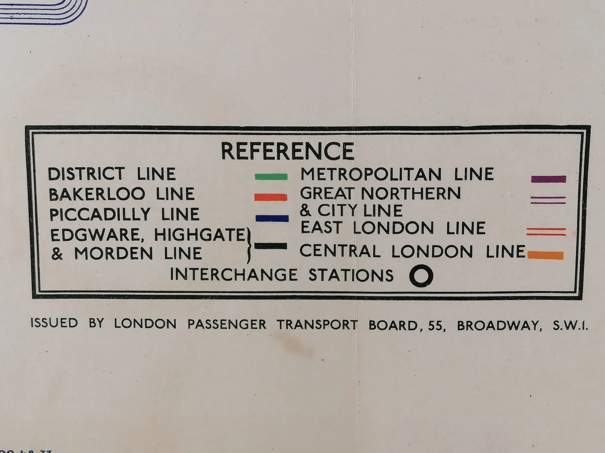
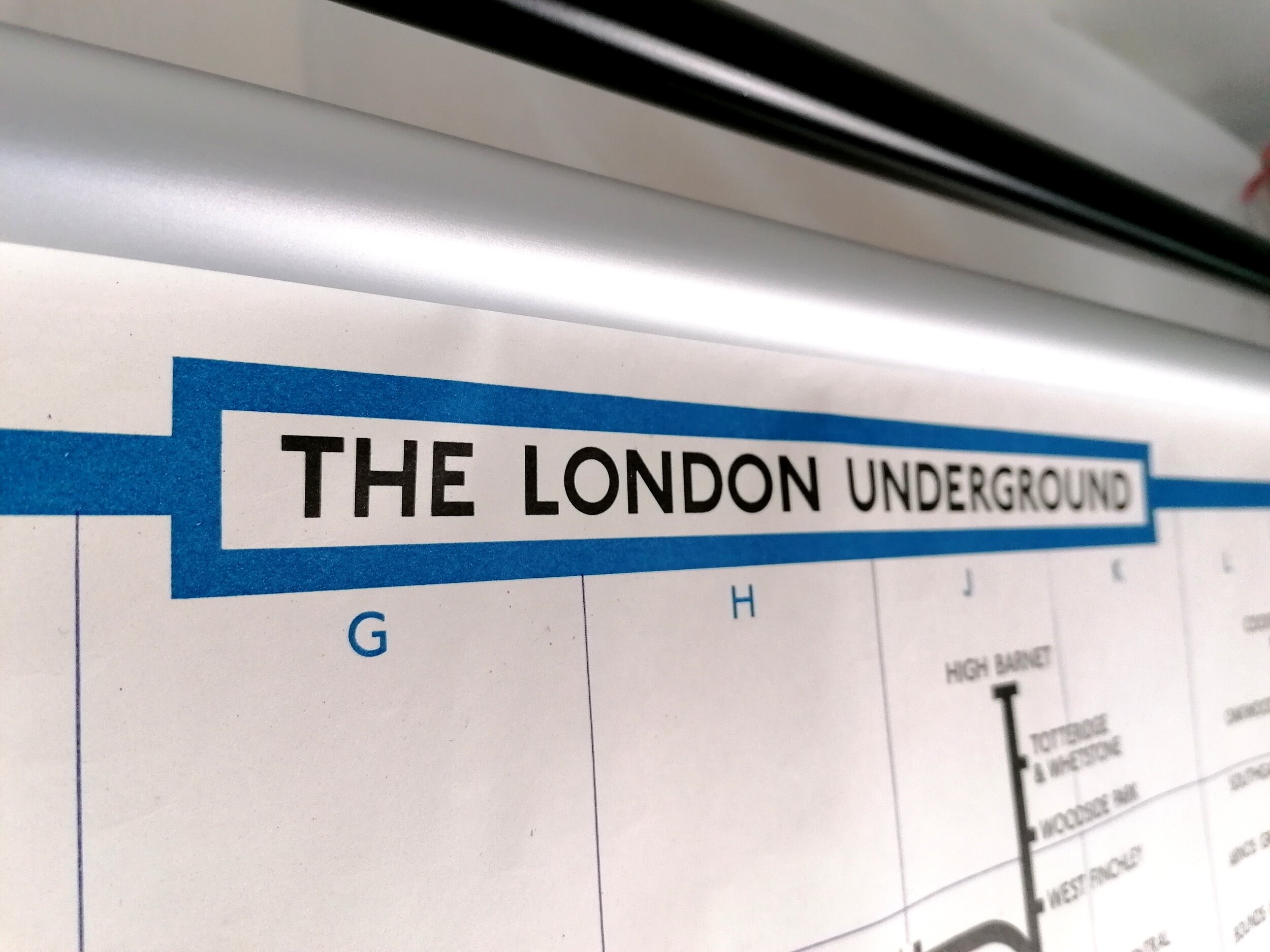
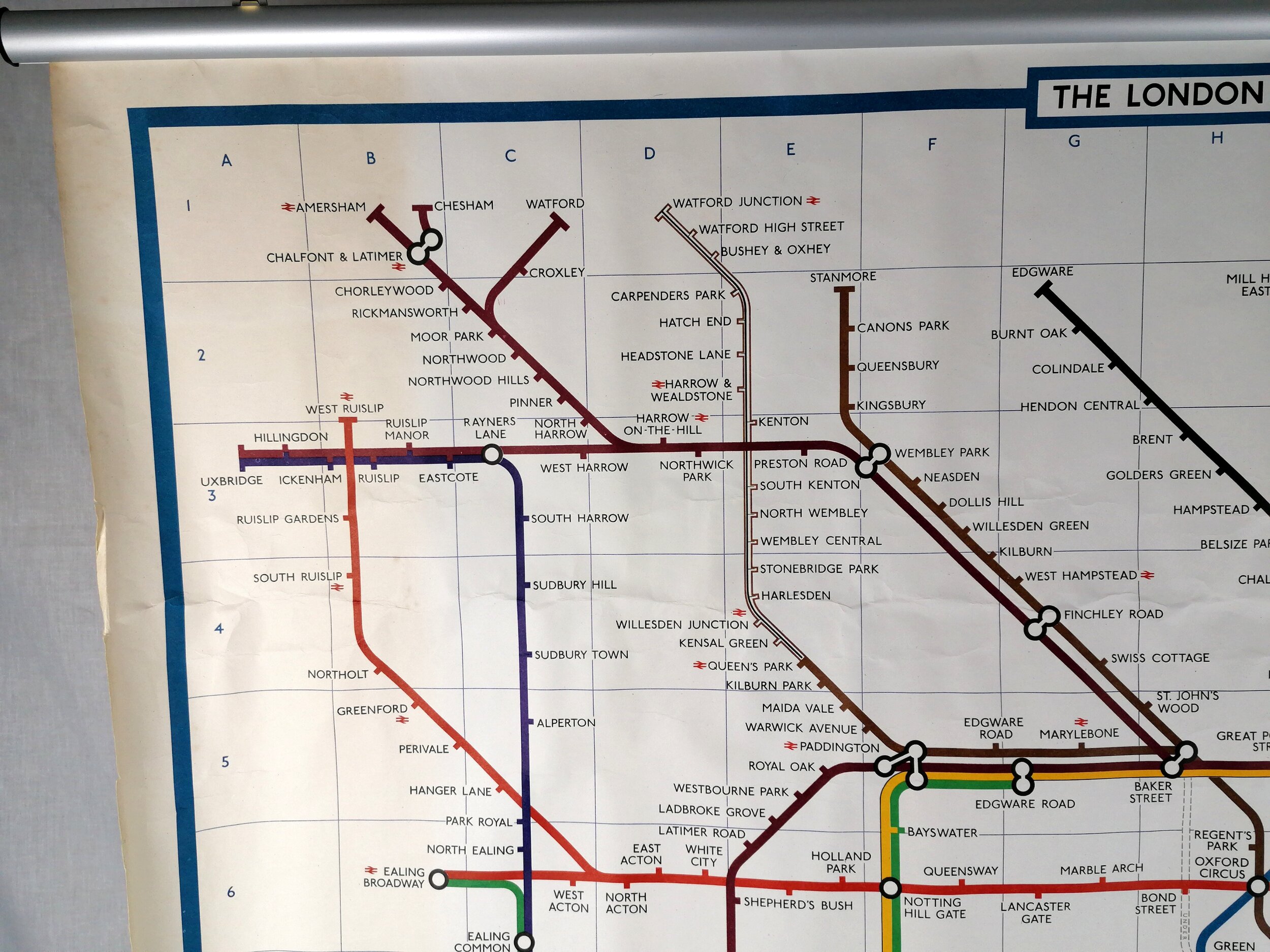
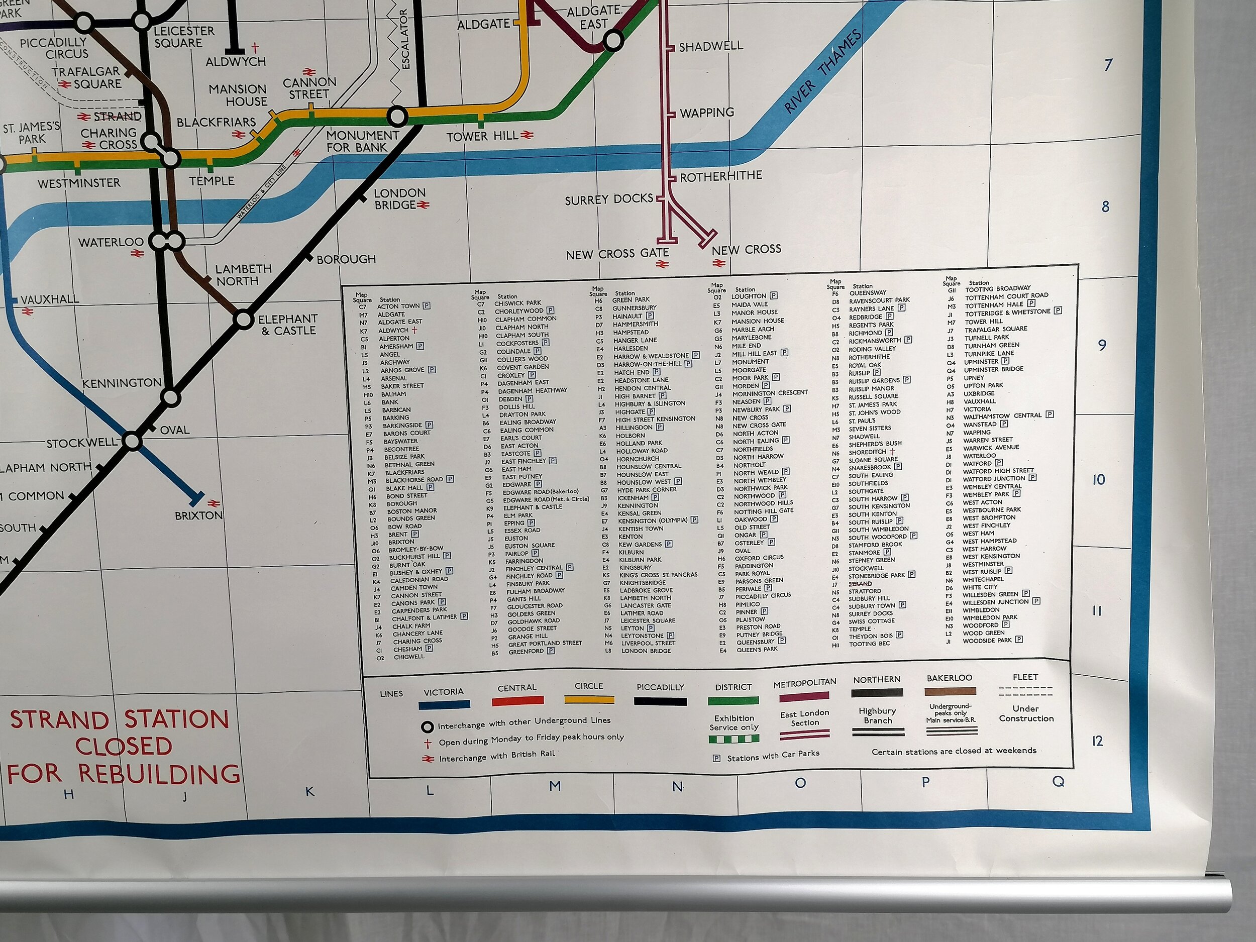
This lovely and tiny pocket guide for London was published by Harrods Department store in Knightsbridge, London. It contains, on its front-end papers, a lovely map of the London Underground system with the 'Tube' railways operated by the Underground Electric Railways of London (UERL) shown prominently whilst the Metropolitan and District Railways are rather lost in the background. This is despite the cooperation agreed between the Underground companies in 1908 to publish 'unified' maps of the network.
Whilst not credited, the map bears a striking resemblance to the G. W. Bacon map design of the Underground used on postcards and other promotional material during the period.
The back cover is embossed with the Cunard Steamship Company, presumably these guides were customised for key distribution partners such as Cunard.
The guide is filled with useful information on London, interspersed with advertisements for the varied services available at Harrods, those include horse livery and hiring of motor cars.
A guide that reflects an extraordinary time of transition where horse draw carriages whilst electric railways run deep underground. A time when London was the undisputed global capital.
FREE UK DELIVERY. Non-UK Delivery available, please request a quotation
"London in Your Pocket" for 1913 featuring a "Map of London's Tubes showing position of HARRODS" (1912)
Published by Harrods Ltd and compliments of The Cunard Steamship Company Ltd. 30 page pocket guide, measures 6cm x 9cm. Excellent condition for age.
This lovely and tiny pocket guide for London was published by Harrods Department store in Knightsbridge, London. It contains, on its front-end papers, a lovely map of the London Underground system with the 'Tube' railways operated by the Underground Electric Railways of London (UERL) shown prominently whilst the Metropolitan and District Railways are rather lost in the background. This is despite the cooperation agreed between the Underground companies in 1908 to publish 'unified' maps of the network.
Whilst not credited, the map bears a striking resemblance to the G. W. Bacon map design of the Underground used on postcards and other promotional material during the period.
The back cover is embossed with the Cunard Steamship Company, presumably these guides were customised for key distribution partners such as Cunard.
The guide is filled with useful information on London, interspersed with advertisements for the varied services available at Harrods, those include horse livery and hiring of motor cars.
A guide that reflects an extraordinary time of transition where horse draw carriages whilst electric railways run deep underground. A time when London was the undisputed global capital.
FREE UK DELIVERY. Non-UK Delivery available, please request a quotation