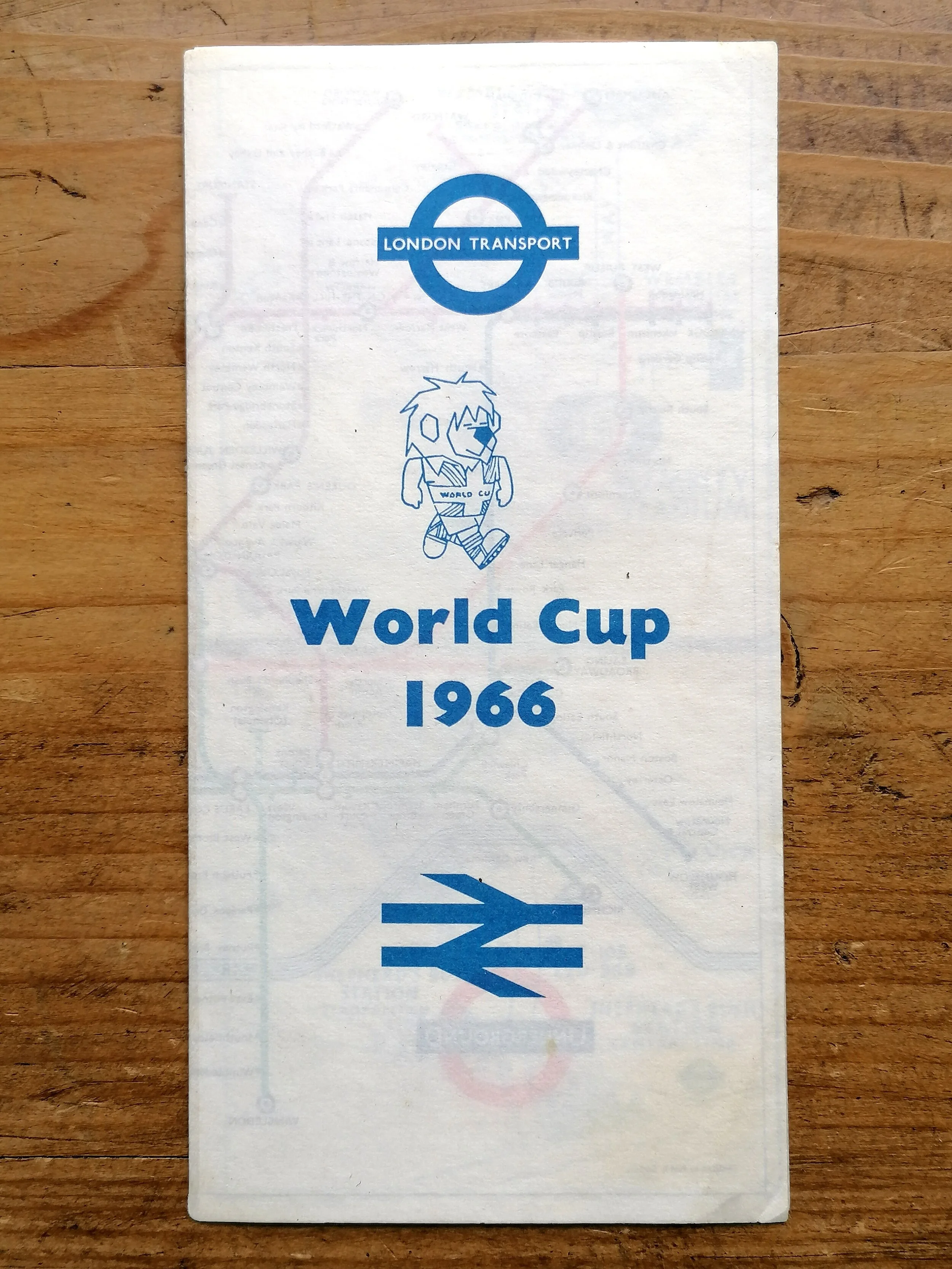
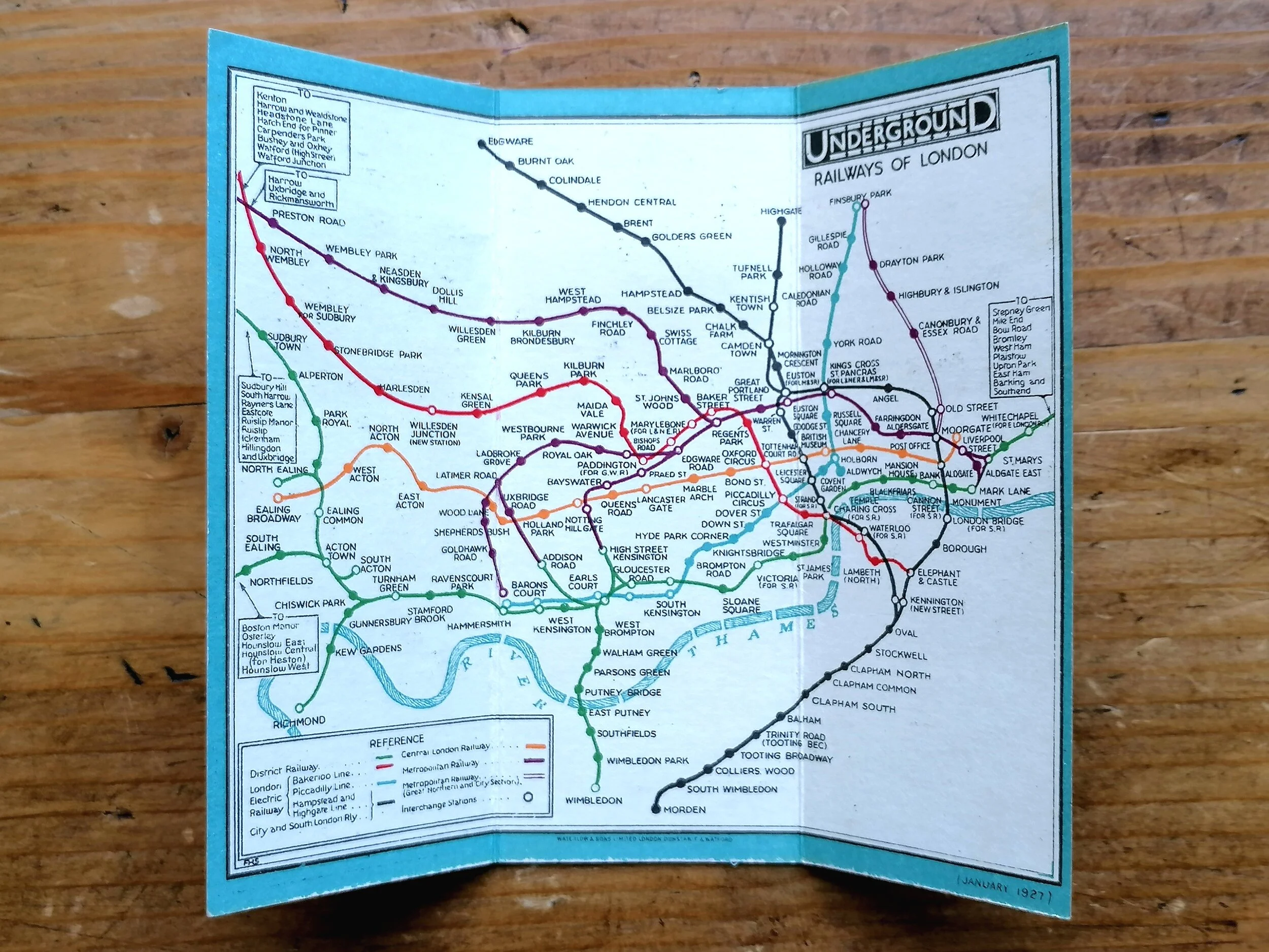
1910 Evening News London Tube Map & Guide
Evening News London Tube Map and Guide c.1910.
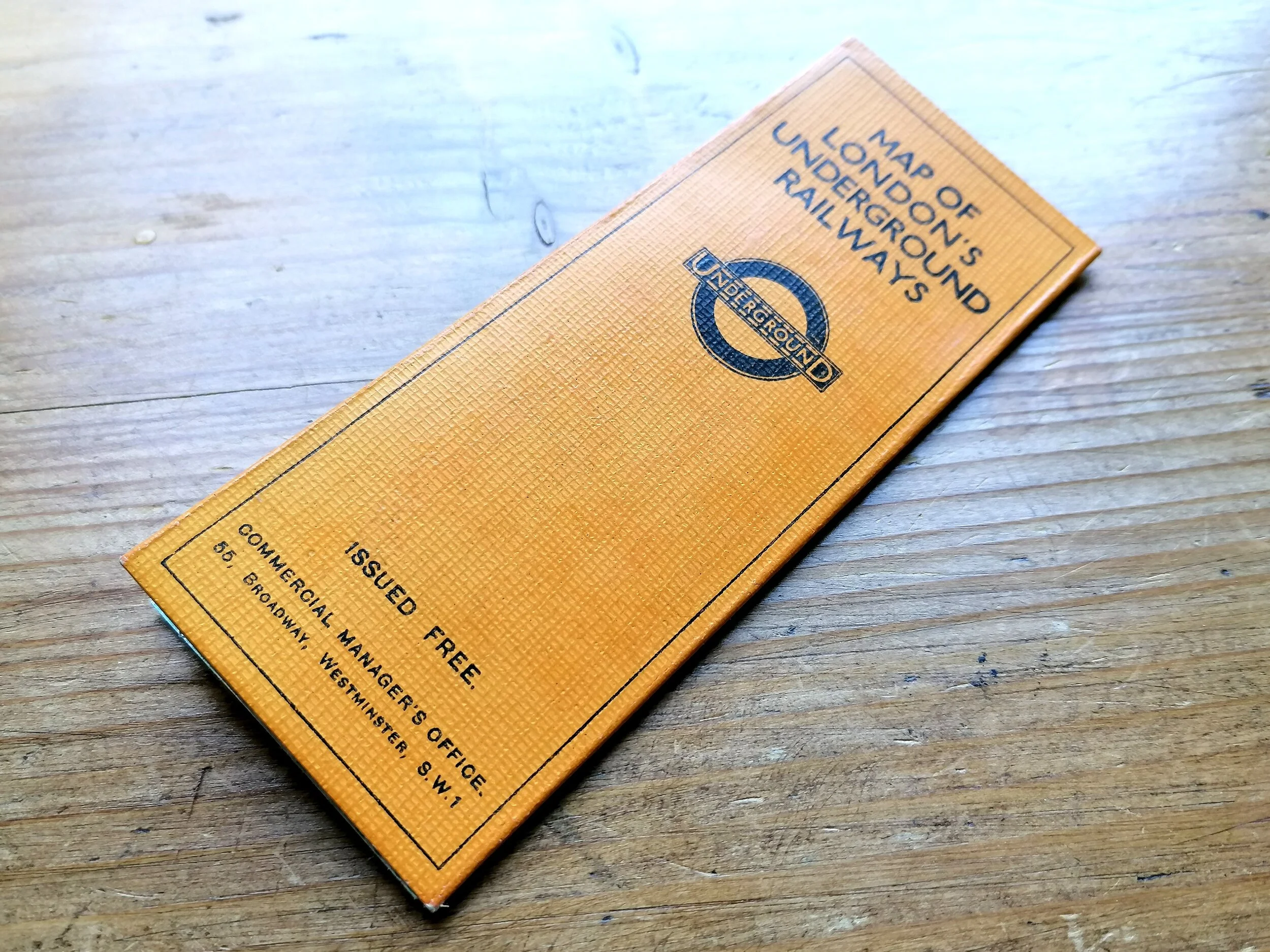
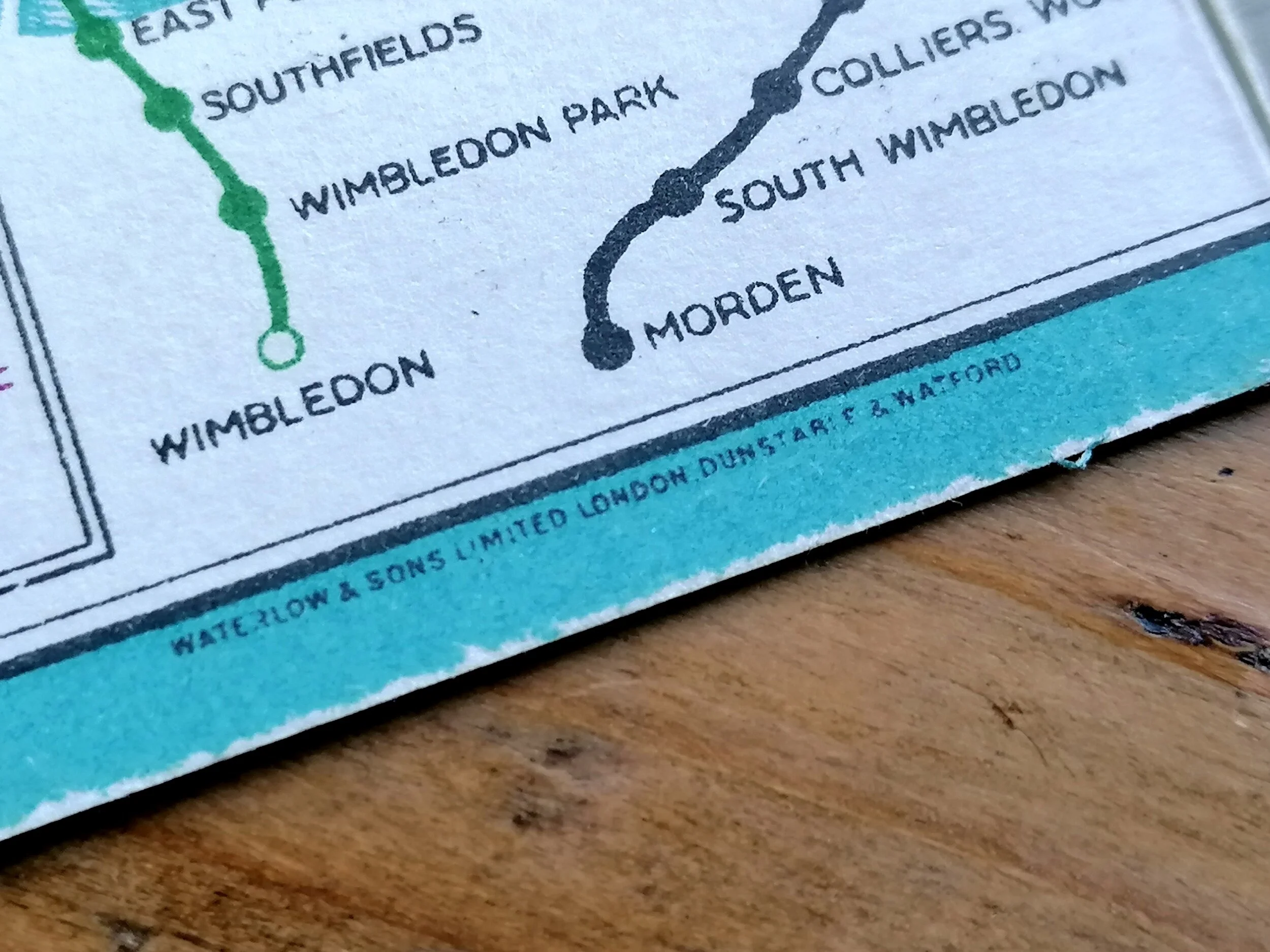
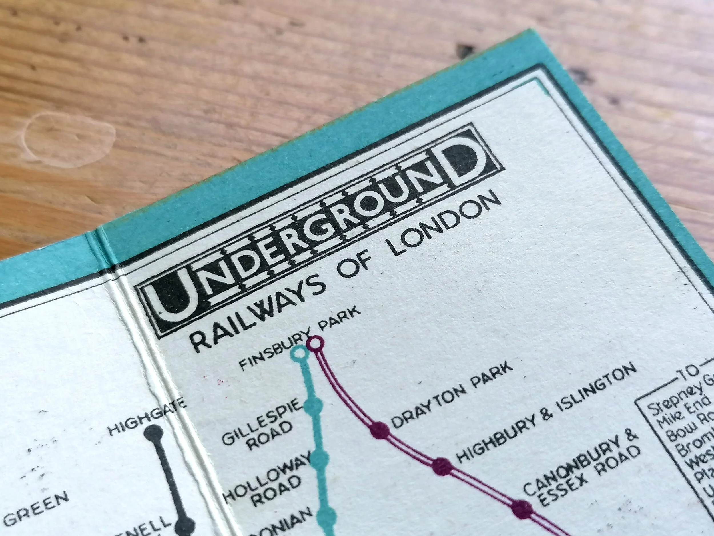
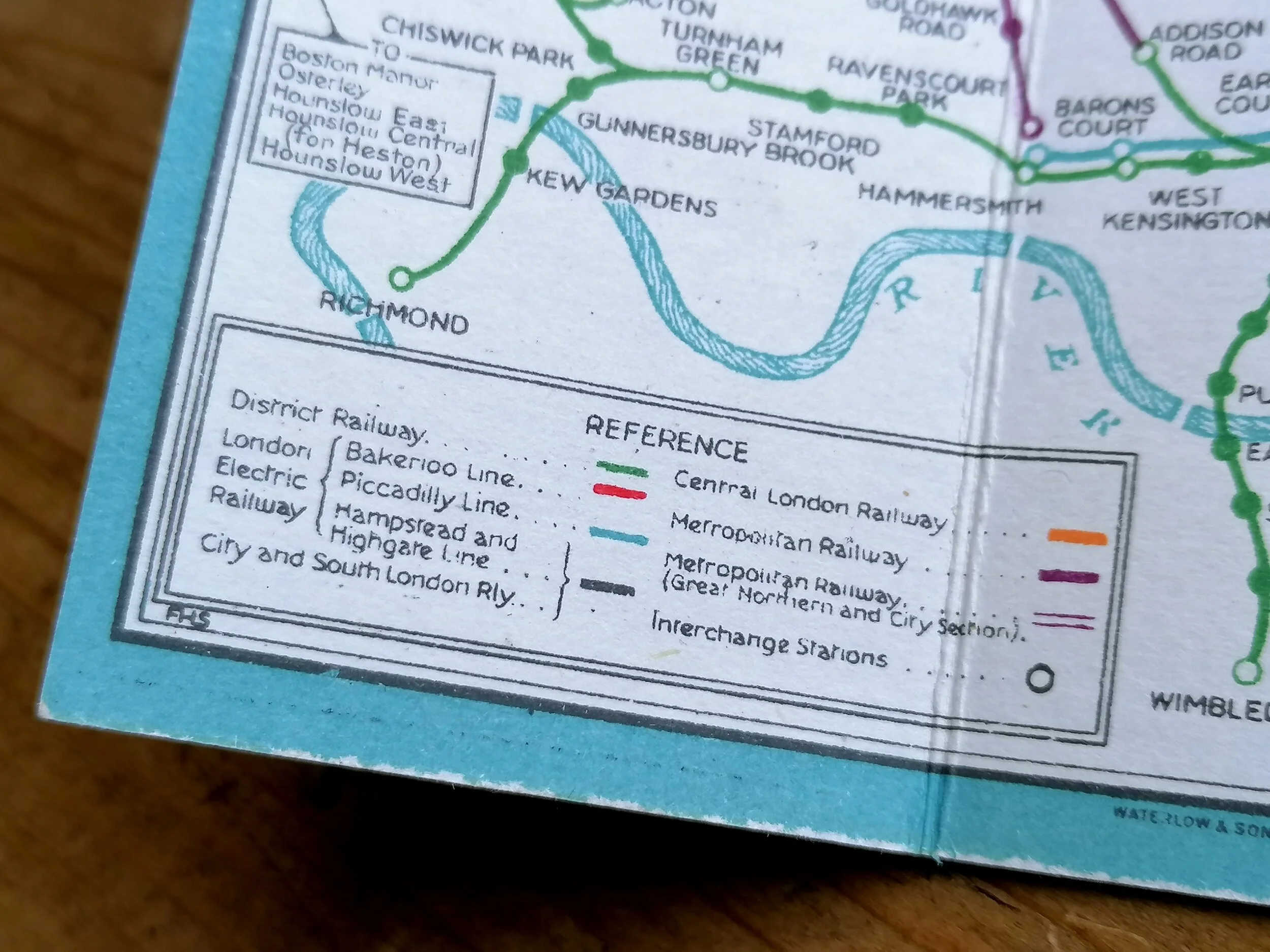
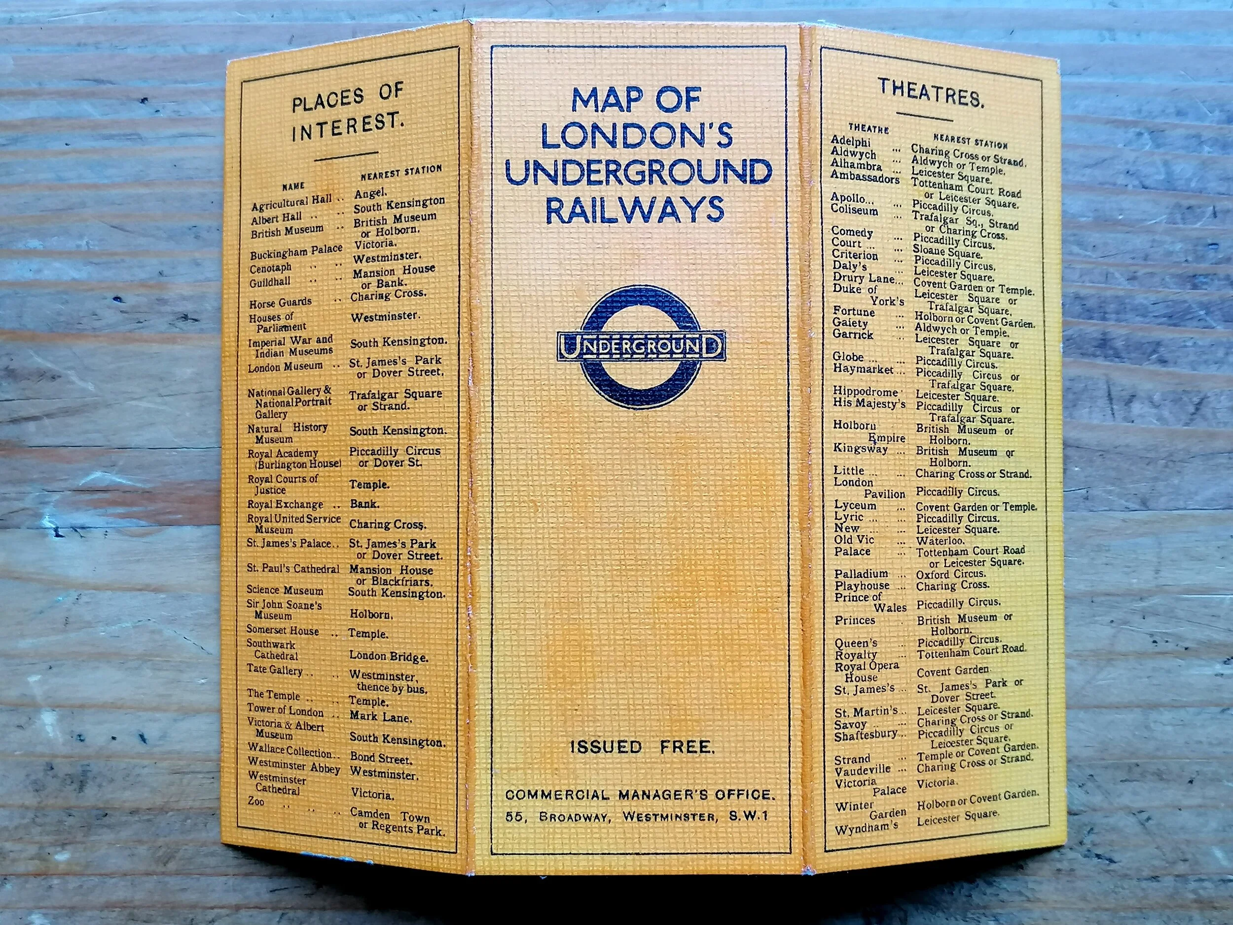
Designed by the London Geographical Institute. Printed by George Philip & Son for the Evening News. Large folding paper map, black and green Tram map on the verso and within printed card covers. Measures 61cm x 50cm. Condition: Excellent.
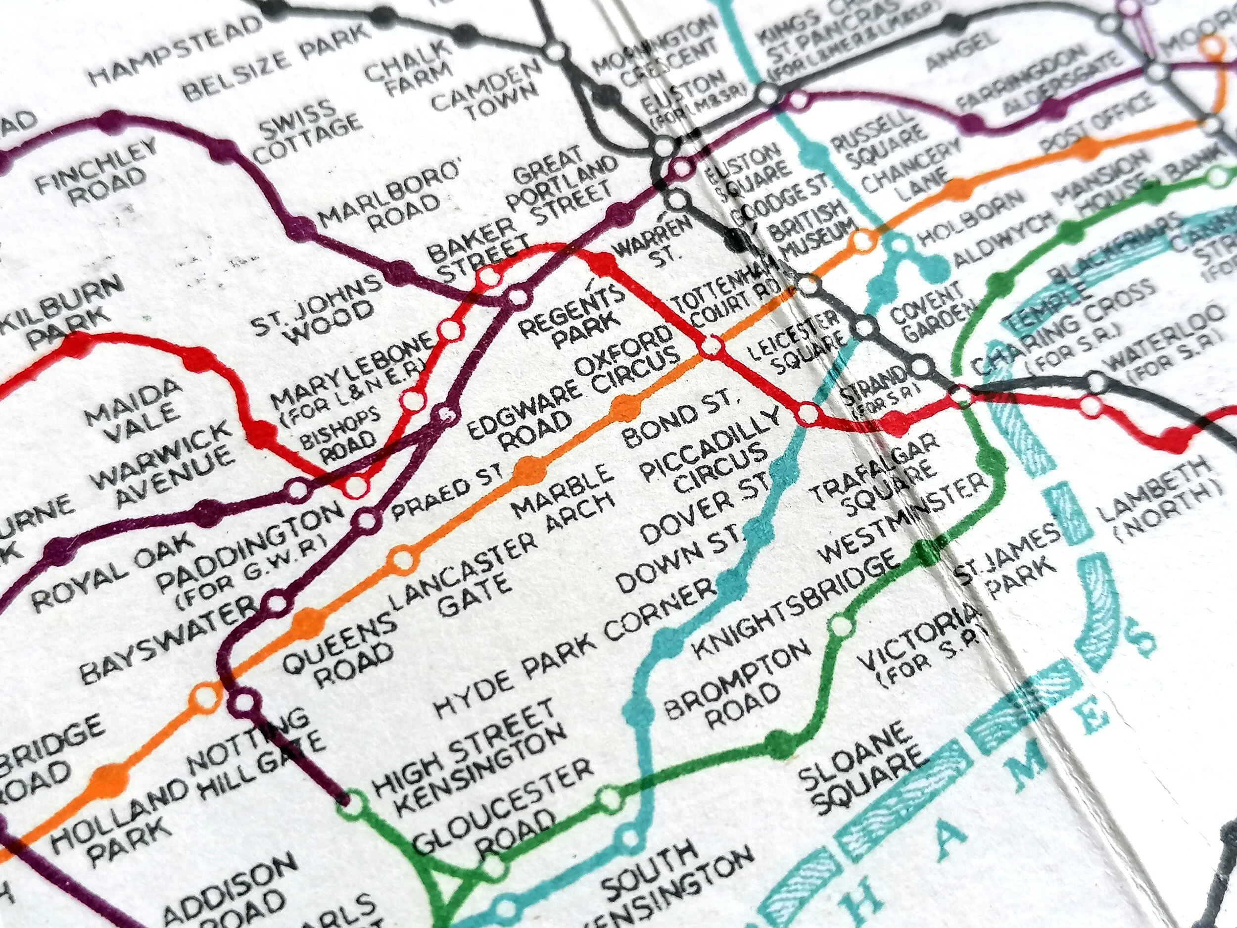
The Evening News London Tube map & Guide ran from 1907-1910. At its release in 1907 it predated the first official 'unified' London Underground map (published in 1908). The EN Tube map was the first to refer to the wider network of Underground Railways as the 'Tube'; it was among the first to apply colour-coding for the lines and is widely believed to be the origin of the name 'Bakerloo' for the Baker Street & Waterloo Railway.
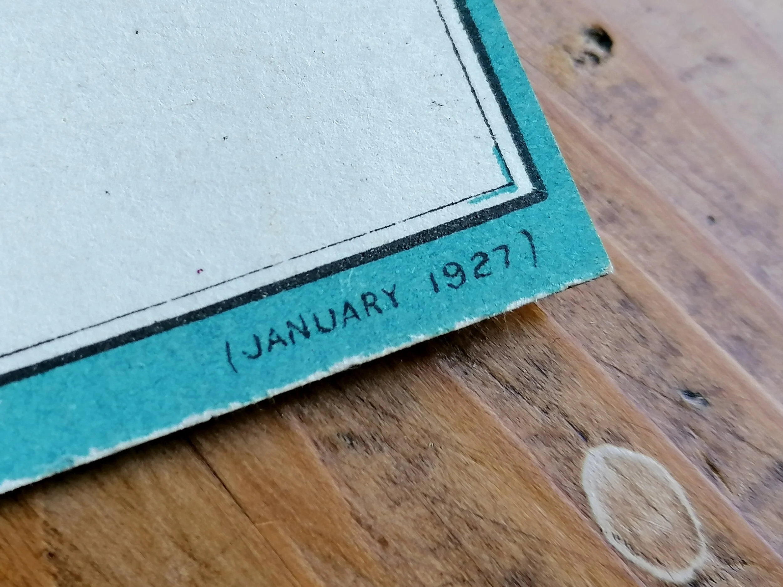
This map design would later be used as a basis for the official London Underground Railways pocket map in 1912.
Evening News London Tube Map and Guide c.1910.
Designed by the London Geographical Institute. Printed by George Philip & Son for the Evening News. Large folding paper map, black and green Tram map on the verso and within printed card covers. Measures 61cm x 50cm. Condition: Excellent.
The Evening News London Tube map & Guide ran from 1907-1910. At its release in 1907 it predated the first official 'unified' London Underground map (published in 1908). The EN Tube map was the first to refer to the wider network of Underground Railways as the 'Tube'; it was among the first to apply colour-coding for the lines and is widely believed to be the origin of the name 'Bakerloo' for the Baker Street & Waterloo Railway.
This map design would later be used as a basis for the official London Underground Railways pocket map in 1912.
- Price does NOT include delivery.
- Delivery/collection must be purchased/organised separate to product purchase.
- Please ensure you have read and agree to the conditions within our Returns Policy (link at bottom of page)
- Please use the Enquiry Form below to request a delivery estimate, if required.
Enquire about this item