1892 District Railway Map of London - 5th Edition
The District Railway Map of London - 5th Edition. 1892.
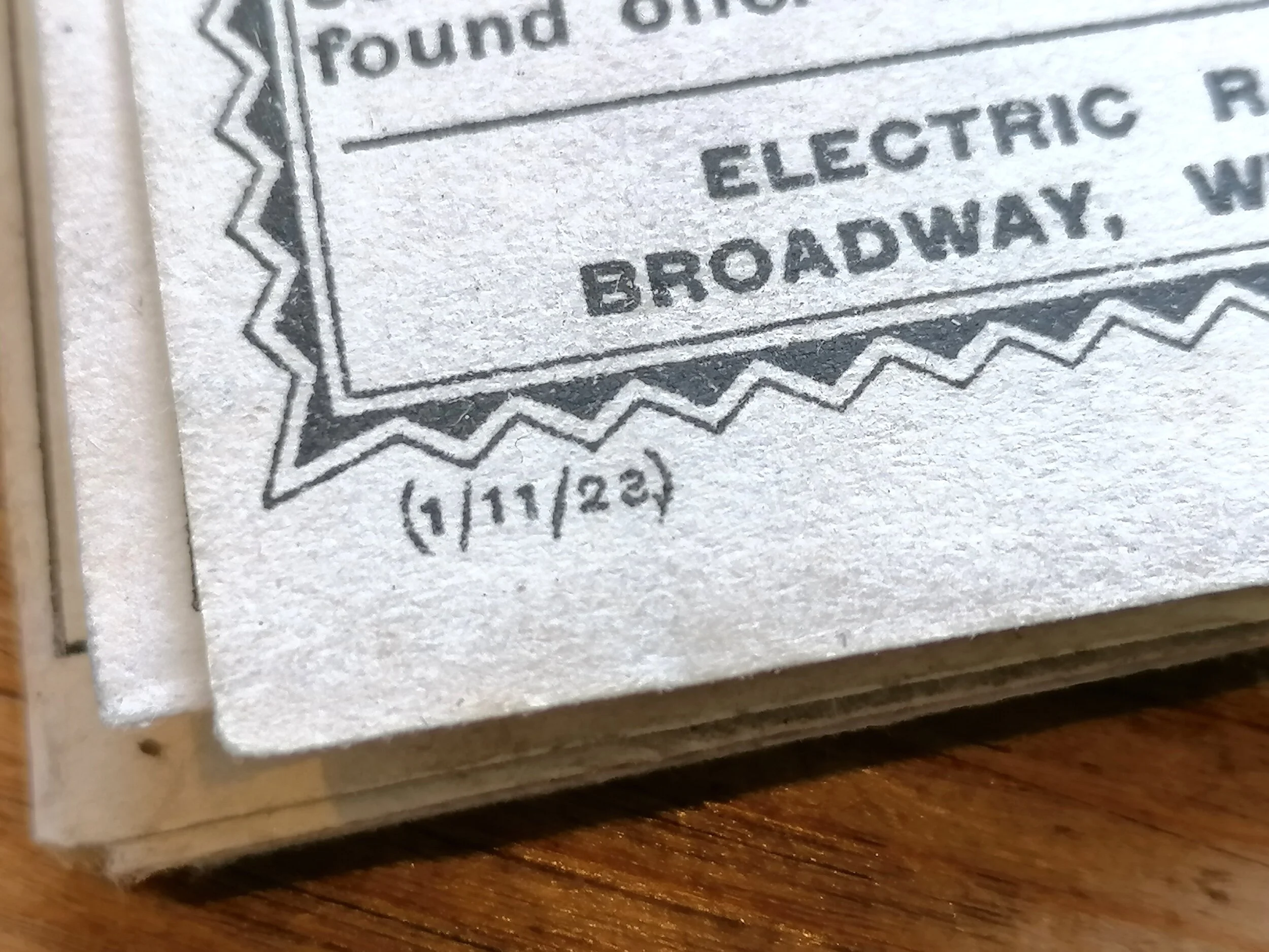
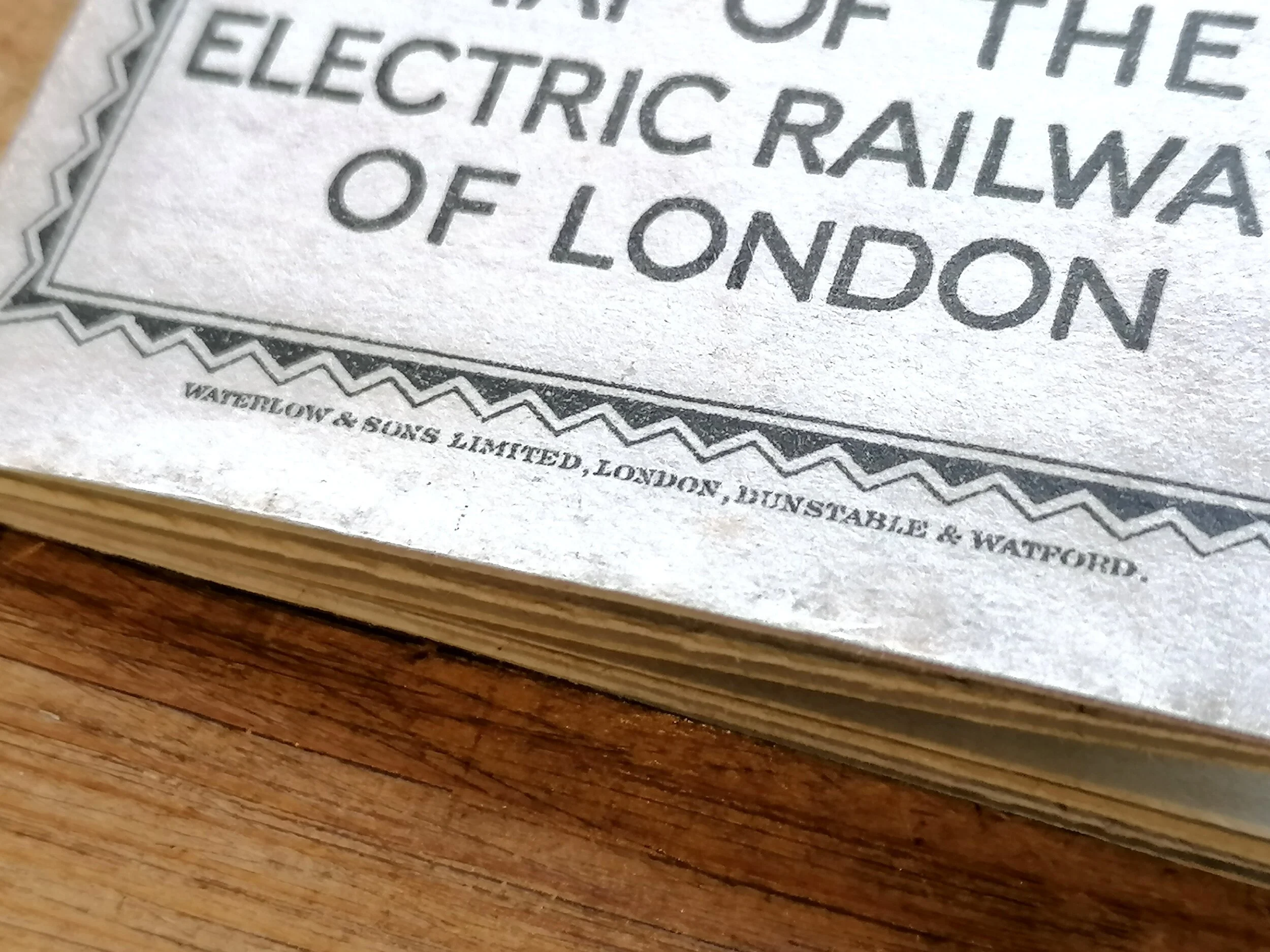
Designed by WE Soar and published by the Partington Advertising Company for the Metropolitan District Railway Company. Measures 107cm x 65cm. Laid on linen as issued with board covers. Condition: Very good with some wear to the board covers.
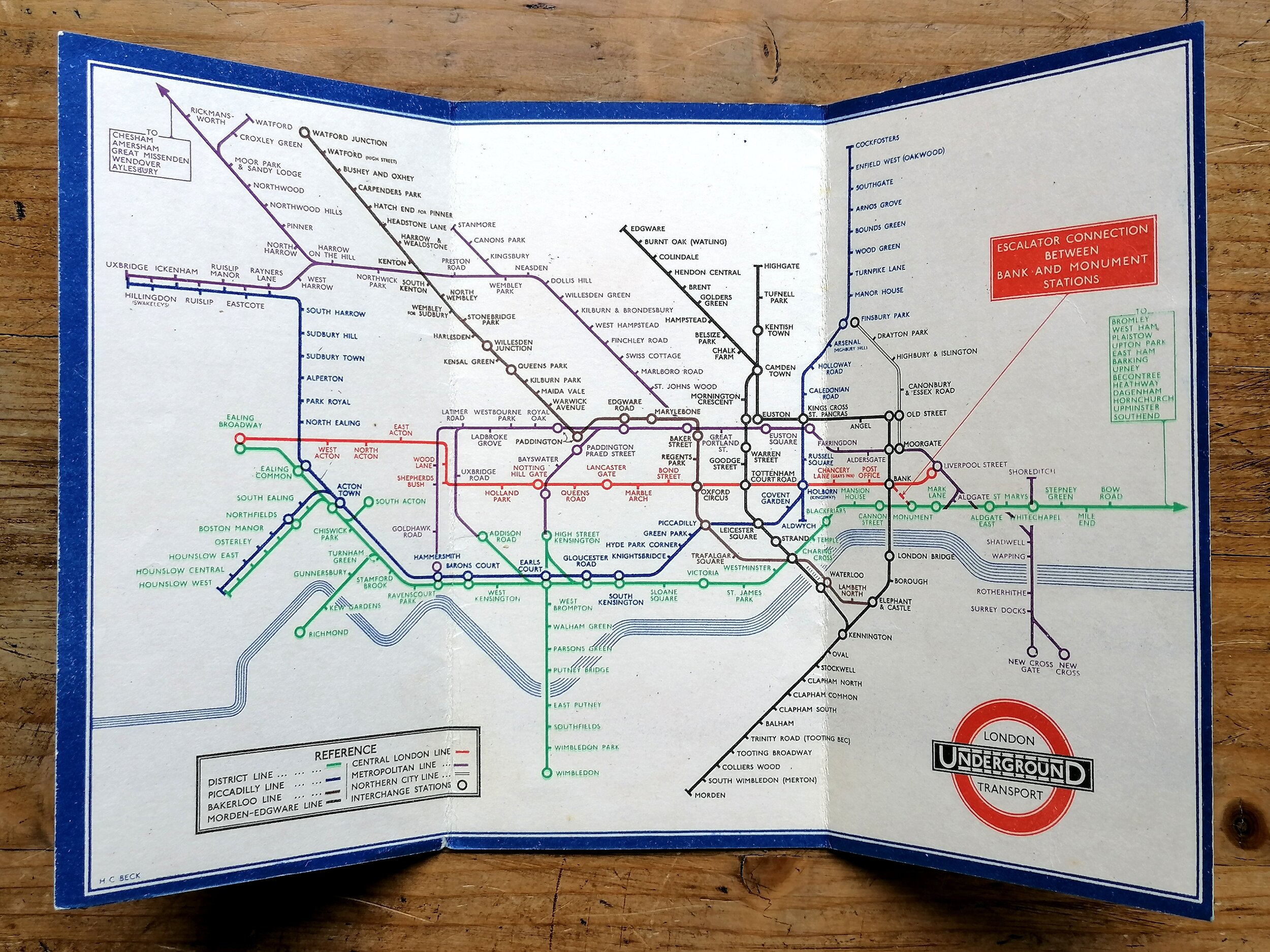
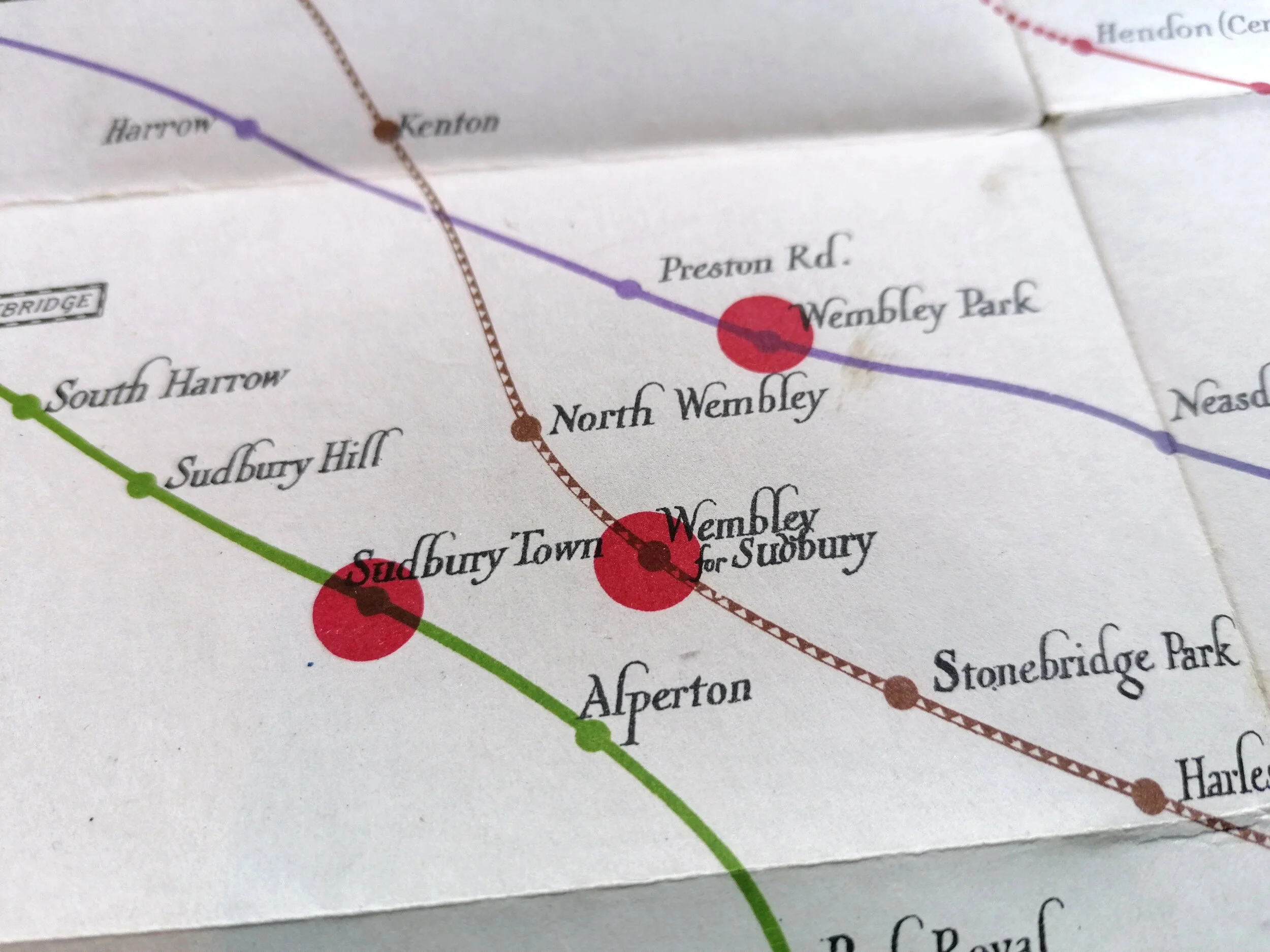
Following the opening of the Metropolitan railway in 1863, The District Railway was the 2nd Underground railway to open in London in 1868, running from South Kensington to Westminster.
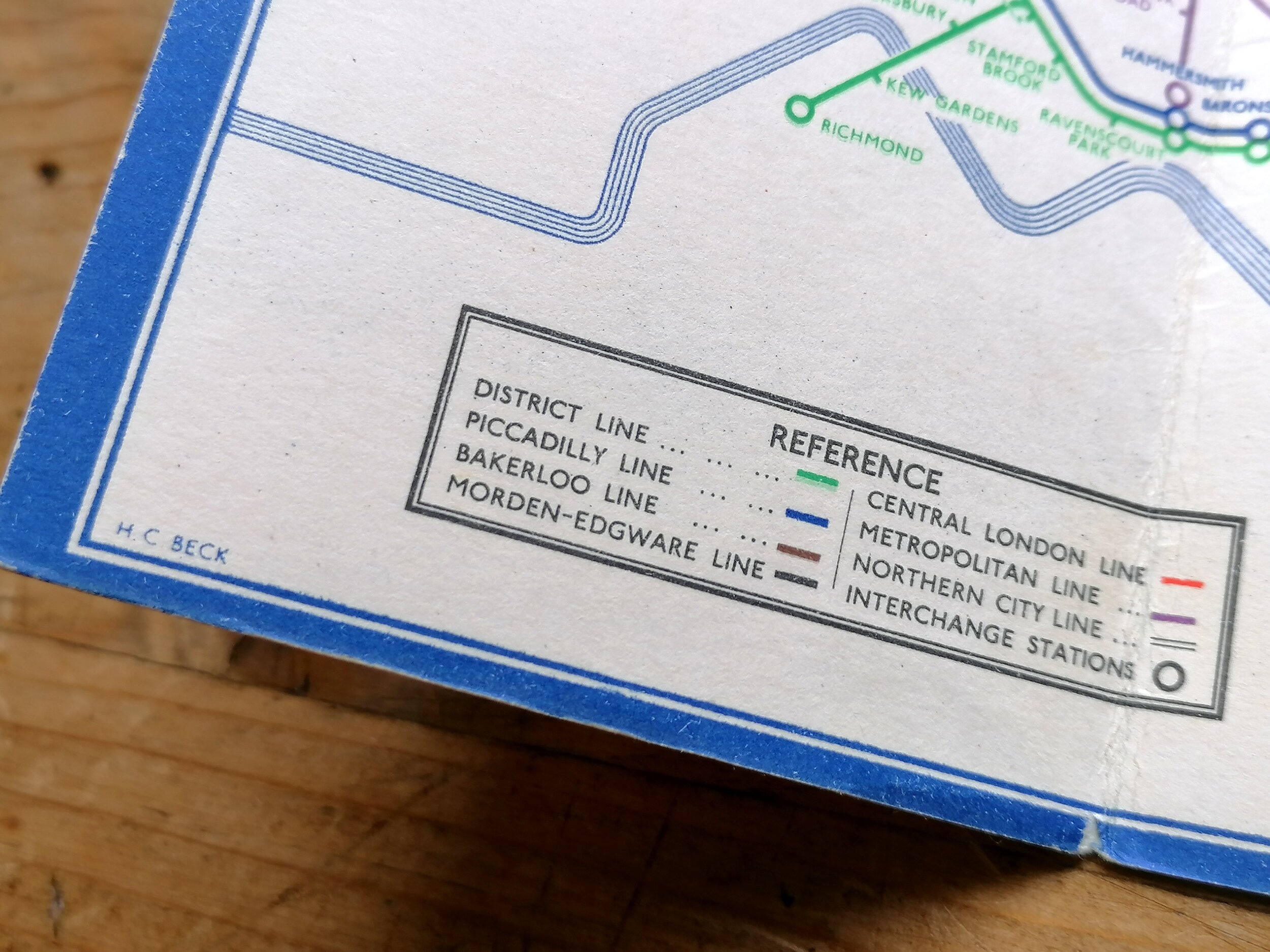
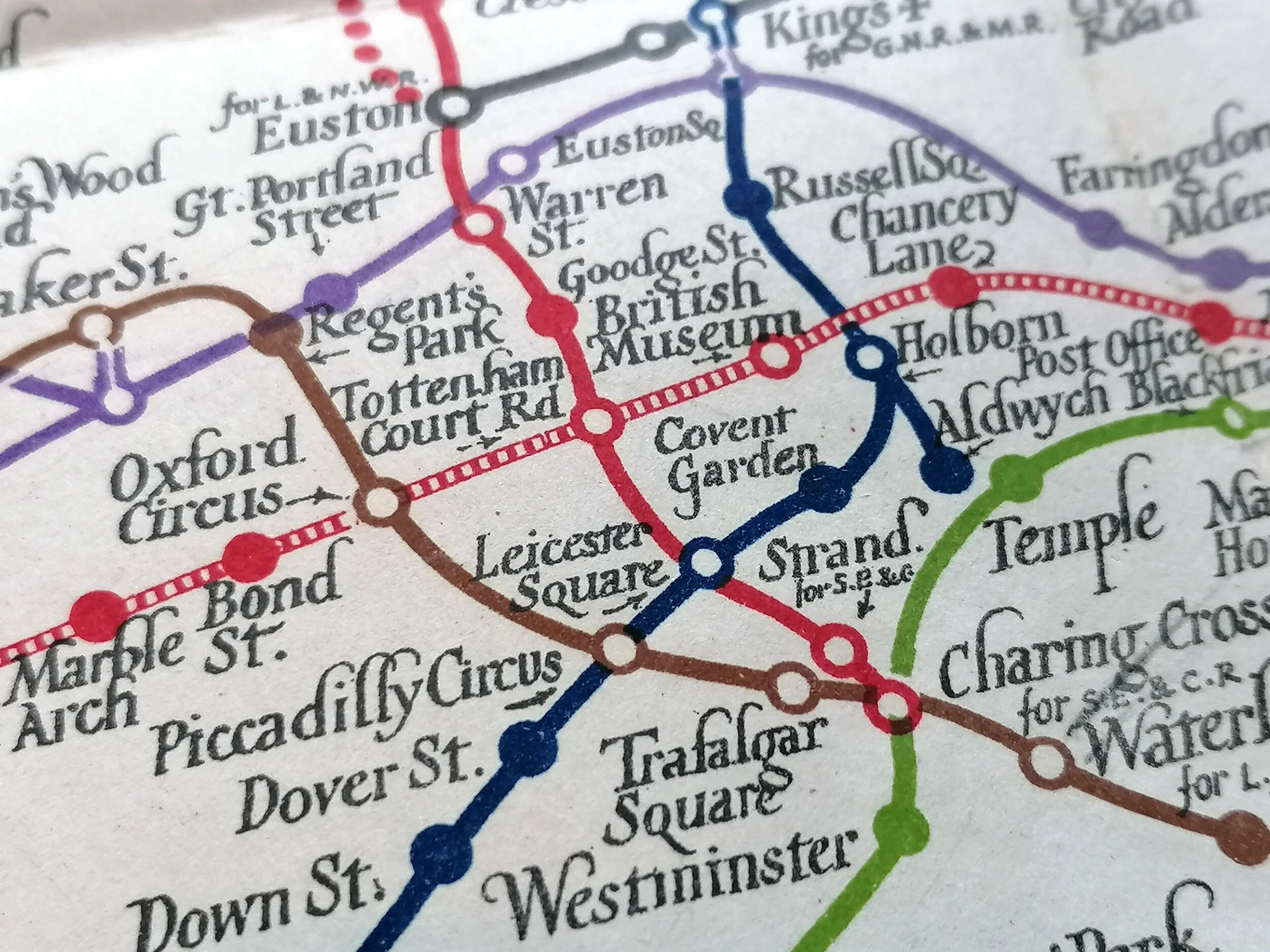
The District Railway Company produced large scale maps laid on Linen between 1874 -1907, along with smaller paper pocket maps from 1877 - making these among the first maps of the London Underground. These maps showed the District Railway prominantly and other railways in a thinner line. The Metropolitan Railway is shown in red but also thinner than its own.
This is the 5th edition which dates to around 1893 which was around the time a surge in deep-level 'tube' projects were being considered by Parliament. Many projects failed to get approval or funding so another 8 years would pass before 3rd underground railway line opened with the Central London Railway, nicknamed the T'penny Tube. Mike Horne notes that there are three known versions of the 5th Edition, this is the first (5a) as ‘District Railway’ appears in blue lettering once, long the eastern end of the line.
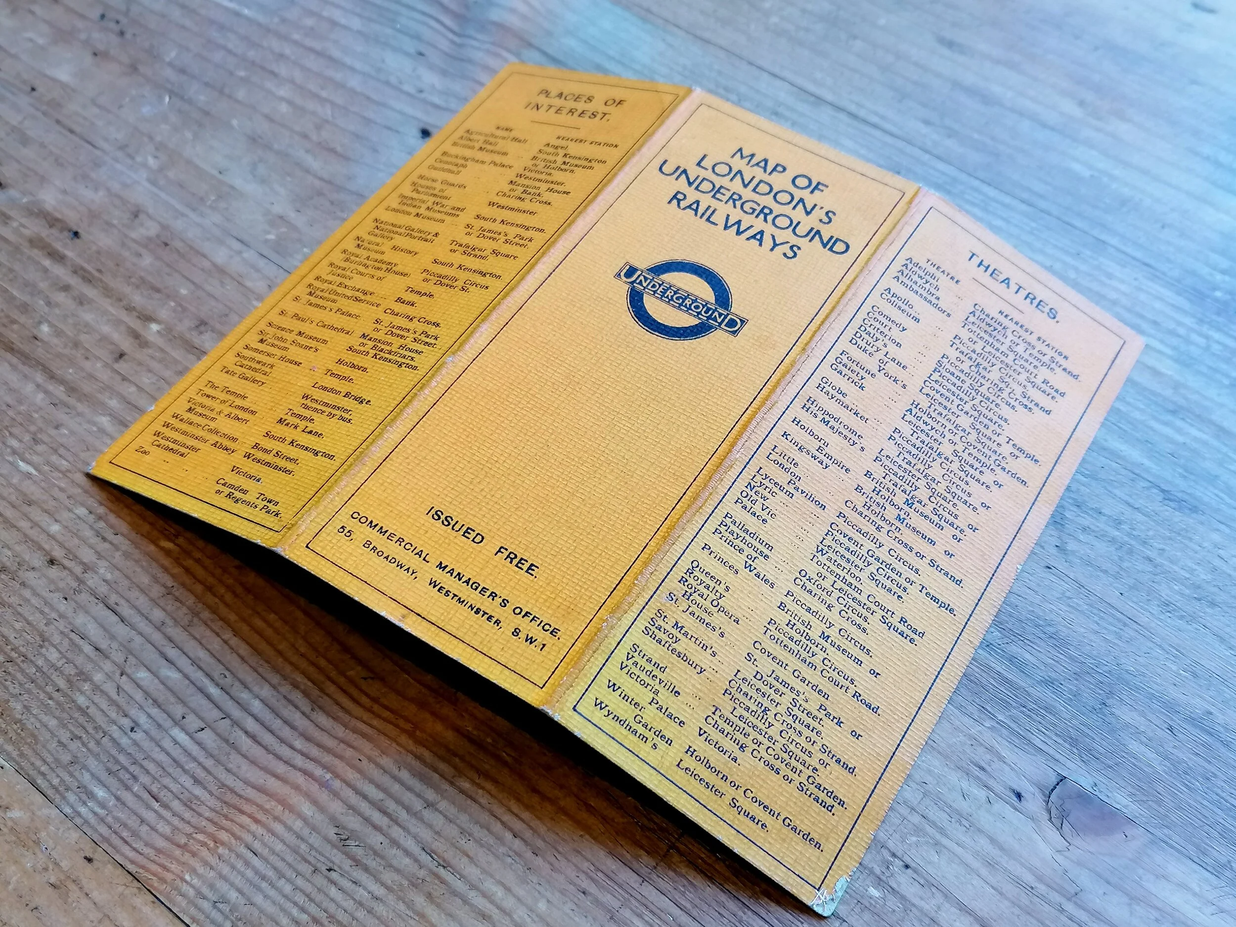
The covers are illustrated with views of local landmarks: Tower Bridge, St Paul’s, and Westminster Abbey.
Free UK Delivery. For Non-UK delivery please request a quotation.
The District Railway Map of London - 5th Edition. 1892.
Designed by WE Soar and published by the Partington Advertising Company for the Metropolitan District Railway Company. Measures 107cm x 65cm. Laid on linen as issued with board covers. Condition: Very good with some wear to the board covers.
Following the opening of the Metropolitan railway in 1863, The District Railway was the 2nd Underground railway to open in London in 1868, running from South Kensington to Westminster.
The District Railway Company produced large scale maps laid on Linen between 1874 -1907, along with smaller paper pocket maps from 1877 - making these among the first maps of the London Underground. These maps showed the District Railway prominantly and other railways in a thinner line. The Metropolitan Railway is shown in red but also thinner than its own.
This is the 5th edition which dates to around 1893 which was around the time a surge in deep-level 'tube' projects were being considered by Parliament. Many projects failed to get approval or funding so another 8 years would pass before 3rd underground railway line opened with the Central London Railway, nicknamed the T'penny Tube. Mike Horne notes that there are three known versions of the 5th Edition, this is the first (5a) as ‘District Railway’ appears in blue lettering once, long the eastern end of the line.
The covers are illustrated with views of local landmarks: Tower Bridge, St Paul’s, and Westminster Abbey.
Free UK Delivery. For Non-UK delivery please request a quotation.
- Price does NOT include delivery.
- Delivery/collection must be purchased/organised separate to product purchase.
- Please ensure you have read and agree to the conditions within our Returns Policy (link at bottom of page)
- Please use the Enquiry Form below to request a delivery estimate, if required.
Enquire about this item