


Engraved Copperplate - Candlewick & Langborne Wards, City of London (circa 1880s)
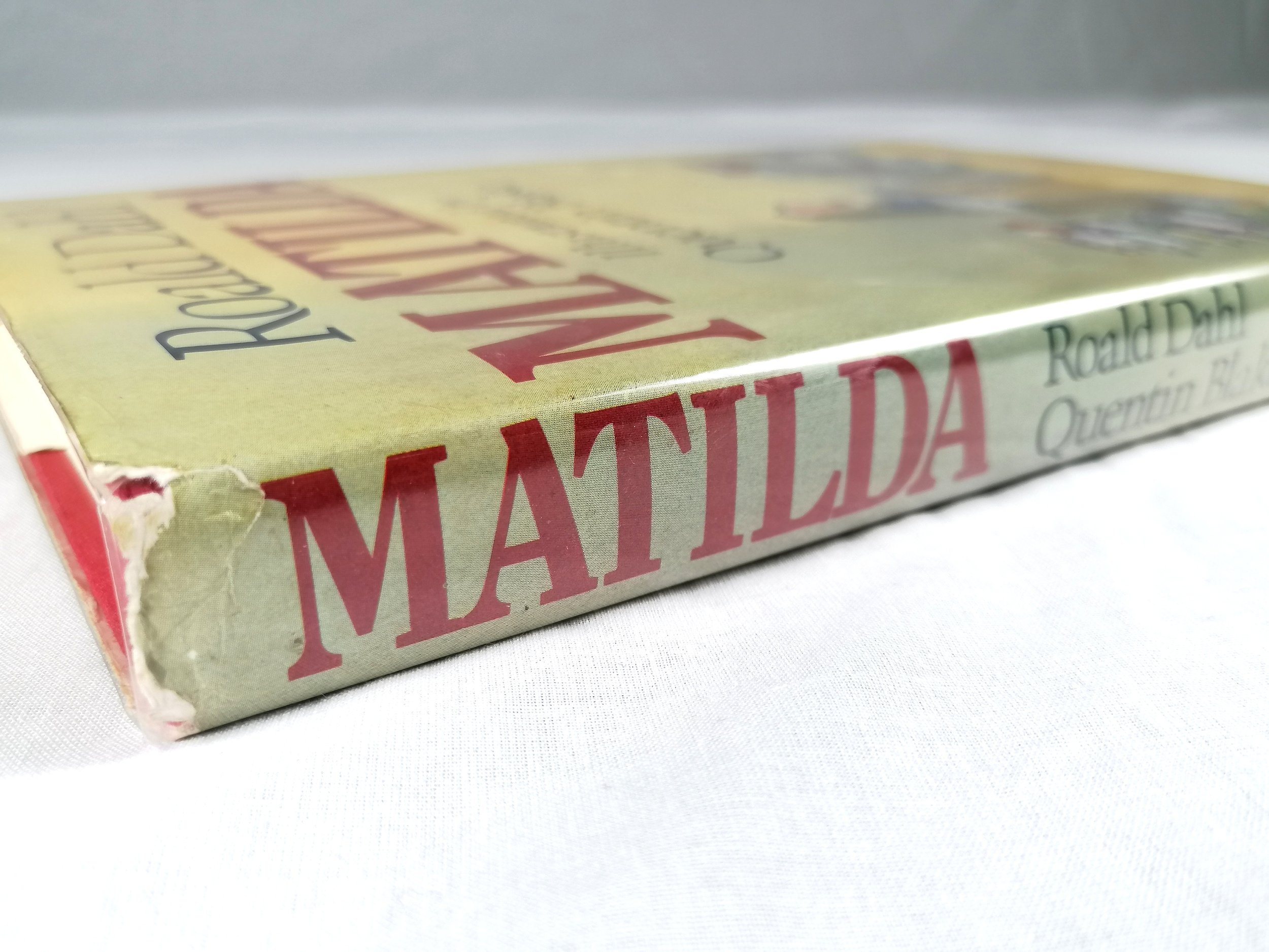
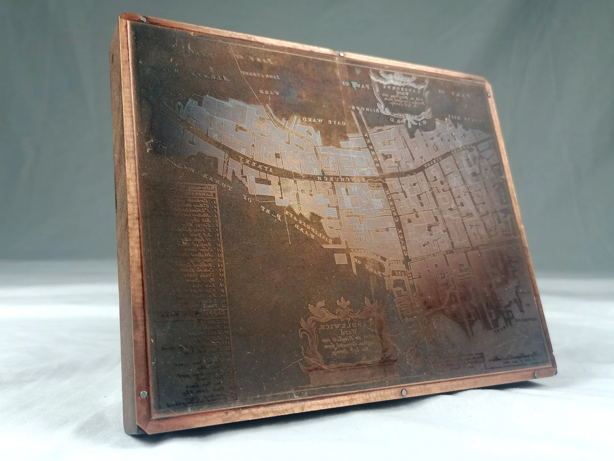
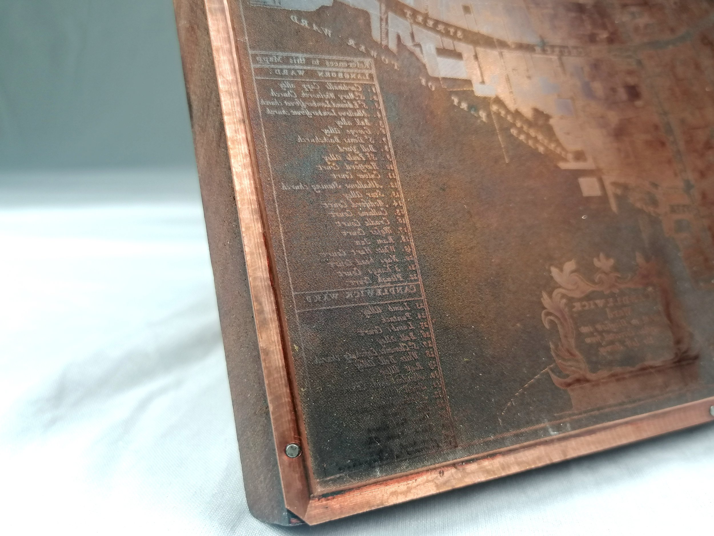
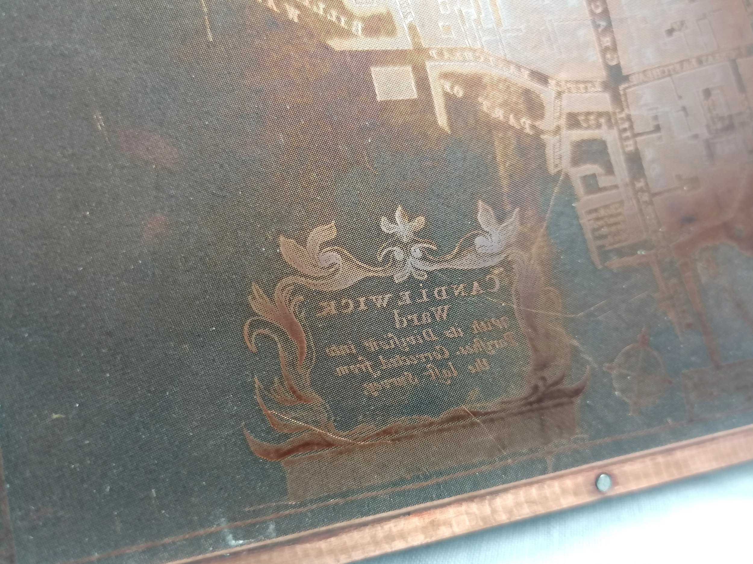
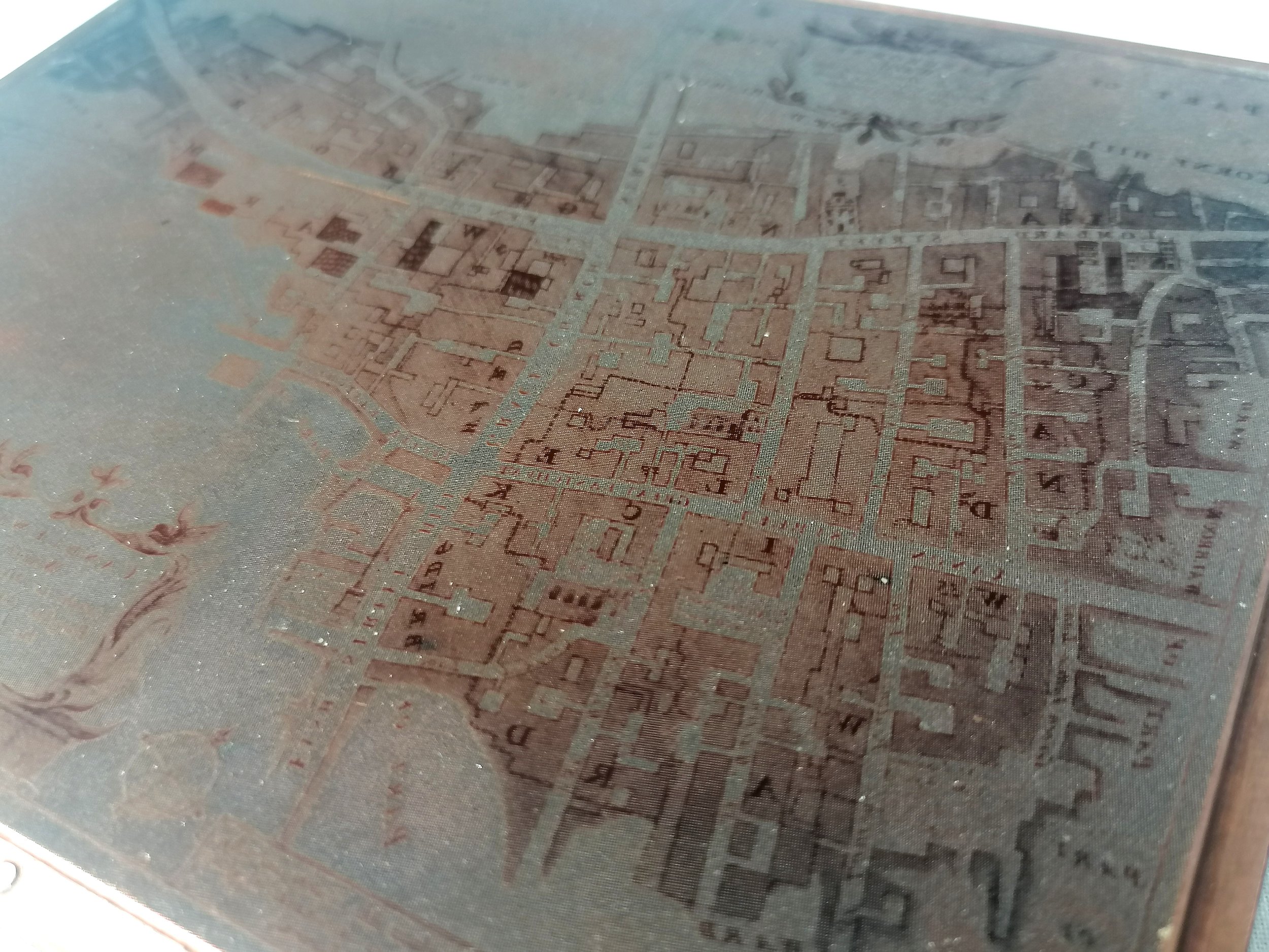
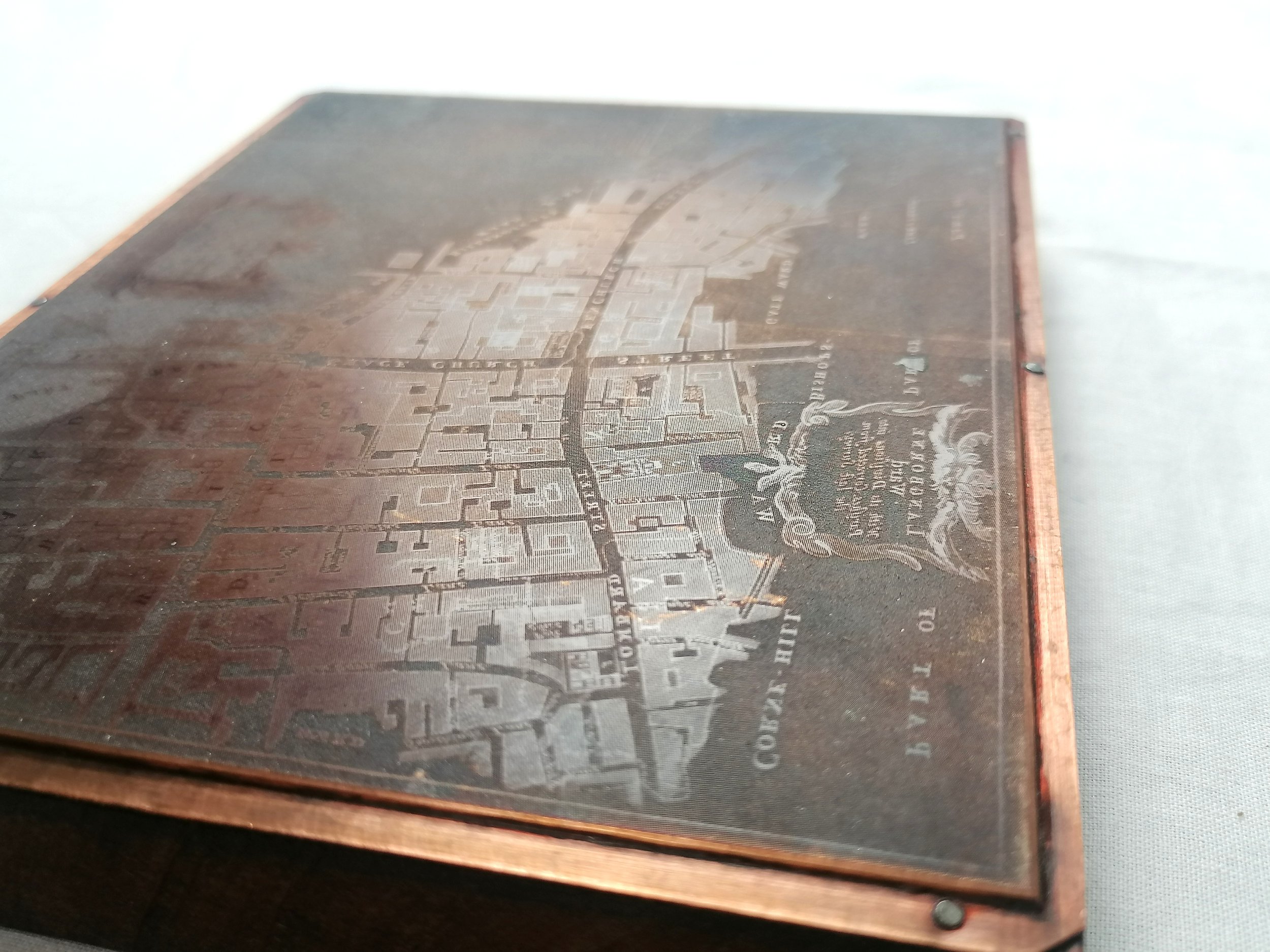
Original copperplate printing block - Map for Langborne and Candlewick Wards, the area surrounding Monument Station. By Richard Blome (Based on earlier surveys by John Stowe). Engraved Copper plate affixed to wood block. Measures 16.6cm (W) x 13.5cm (H) x 2.2cm (D). Circa 1880s. Excellent condition.
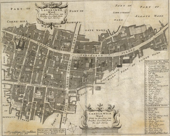
The map engraved onto this cooperplate features the wards of Candlewick and Langborne, with Fenchurch Street and Lombard street the main thoroughfares running East to West while Fish Street Hill and Grace Church Street connect North and South. Sir Christopher Wren's Monument to the Great Fire is illustrated in miniature.
It is believed this plate was produced later that Blome’s original in 1720, perhaps for a 19th century book. The map is much smaller than those published in 1720. The texture of the block suggests a photogravure engraving process which emerged in the middle of of the 19th century.
Free UK Delivery. For Non-UK delivery please request quotation.
Original copperplate printing block - Map for Langborne and Candlewick Wards, the area surrounding Monument Station. By Richard Blome (Based on earlier surveys by John Stowe). Engraved Copper plate affixed to wood block. Measures 16.6cm (W) x 13.5cm (H) x 2.2cm (D). Circa 1880s. Excellent condition.
The map engraved onto this cooperplate features the wards of Candlewick and Langborne, with Fenchurch Street and Lombard street the main thoroughfares running East to West while Fish Street Hill and Grace Church Street connect North and South. Sir Christopher Wren's Monument to the Great Fire is illustrated in miniature.
It is believed this plate was produced later that Blome’s original in 1720, perhaps for a 19th century book. The map is much smaller than those published in 1720. The texture of the block suggests a photogravure engraving process which emerged in the middle of of the 19th century.
Free UK Delivery. For Non-UK delivery please request quotation.