1932 London Underground Pocket Map - FH Stingemore
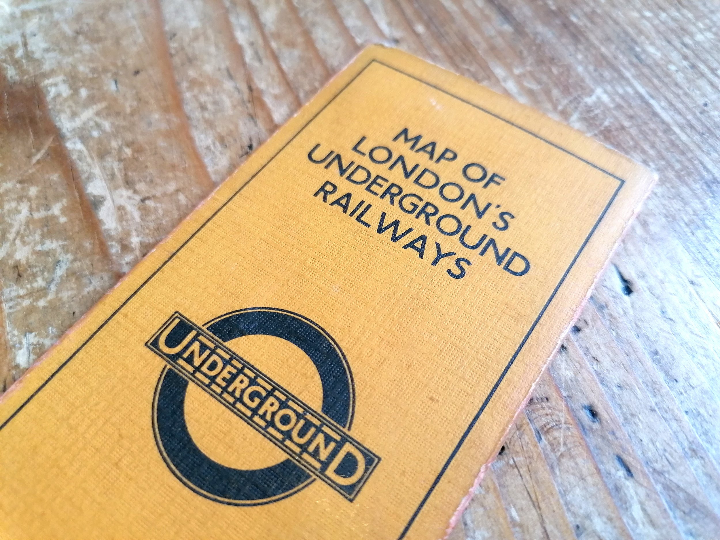
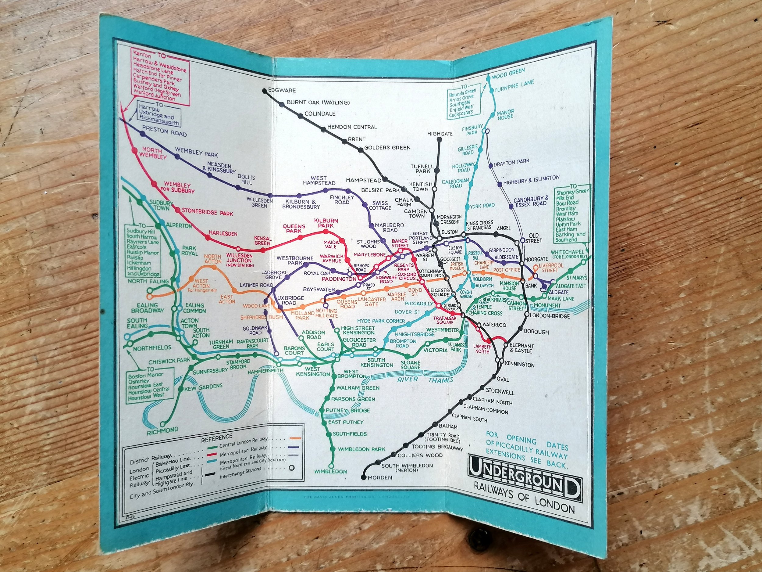
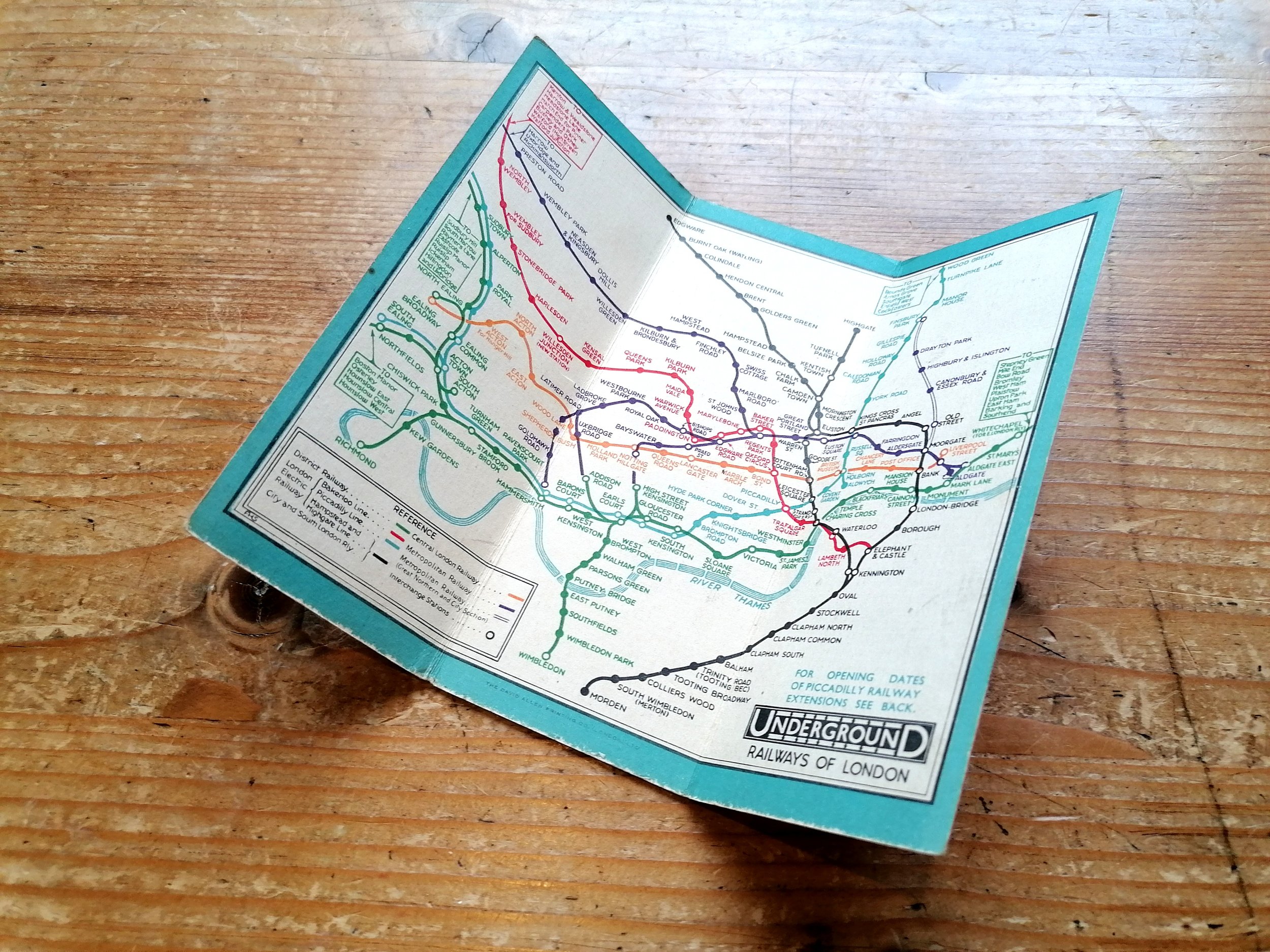
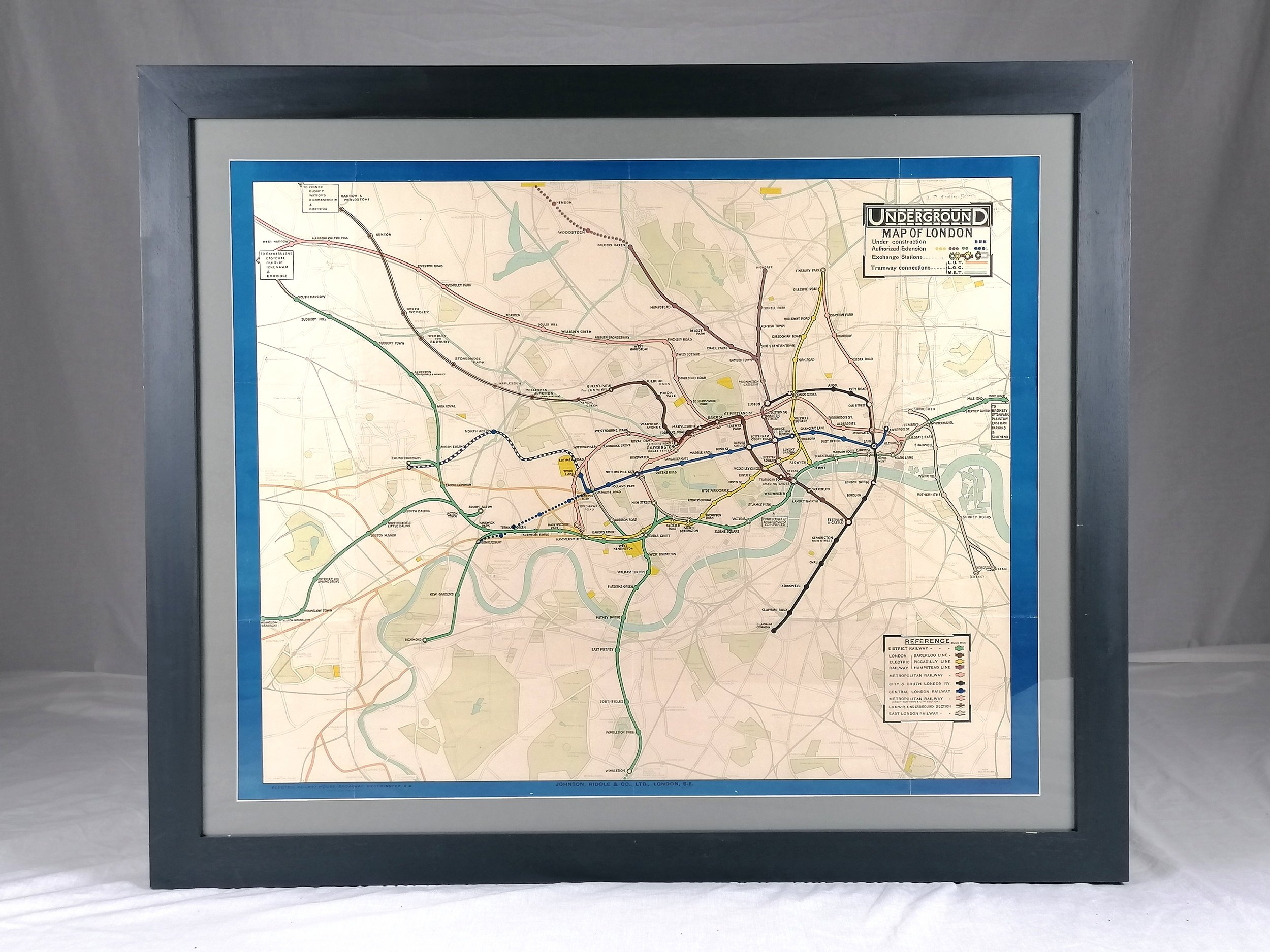
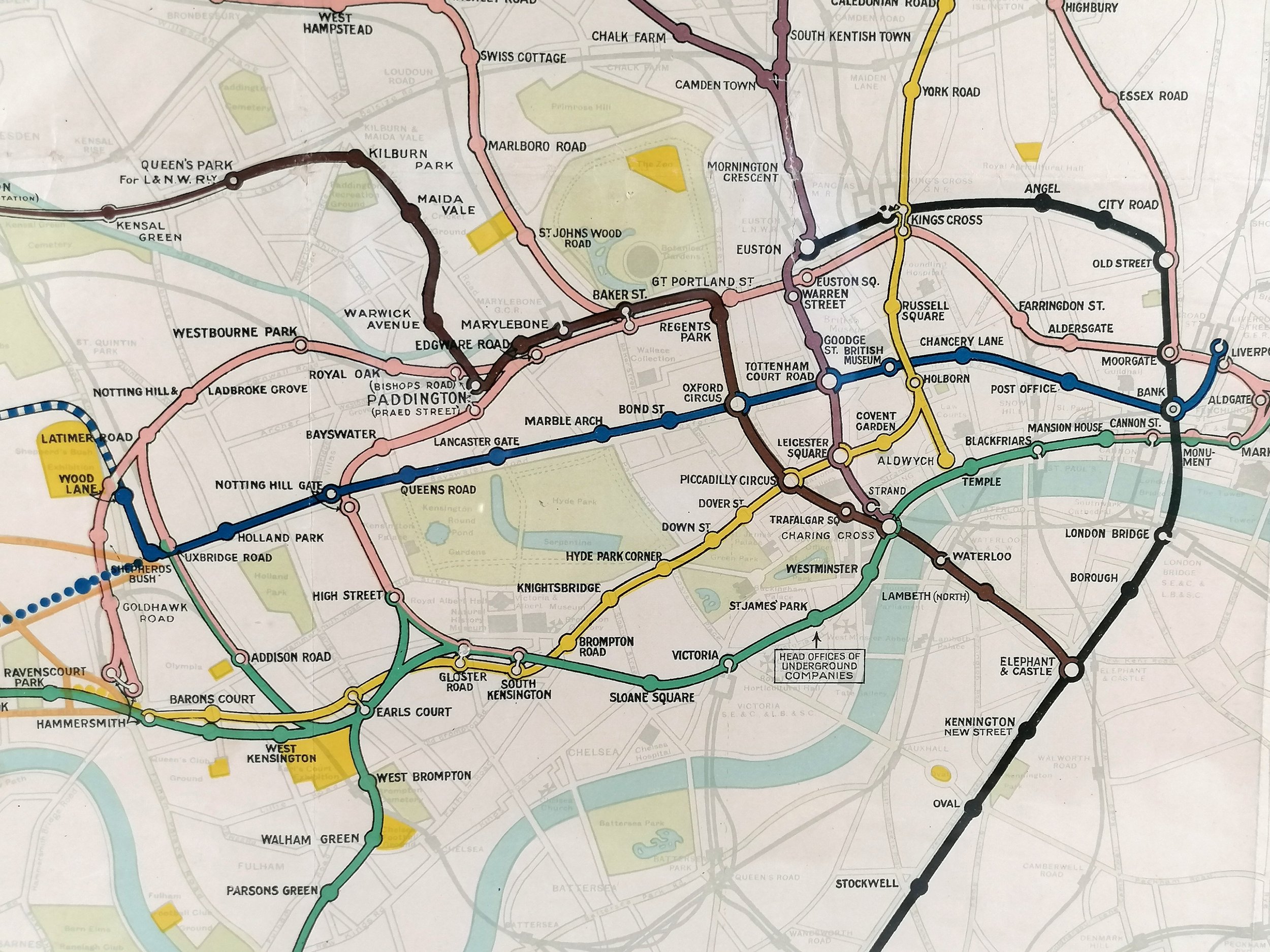
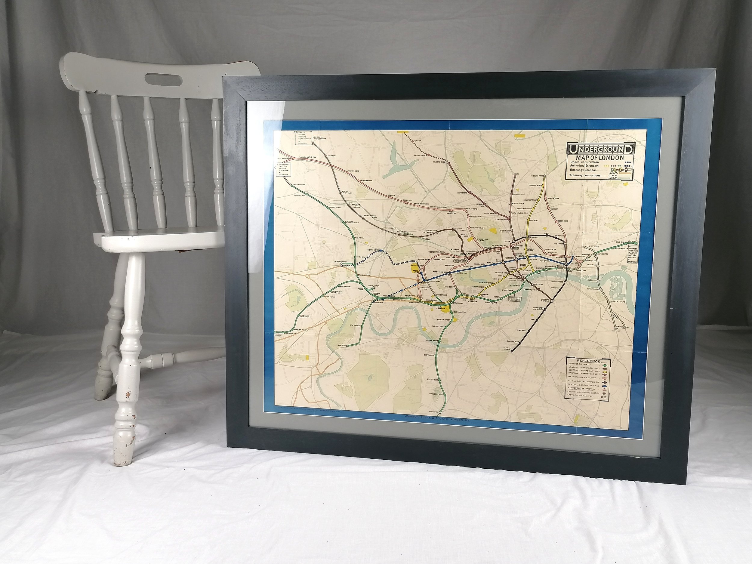
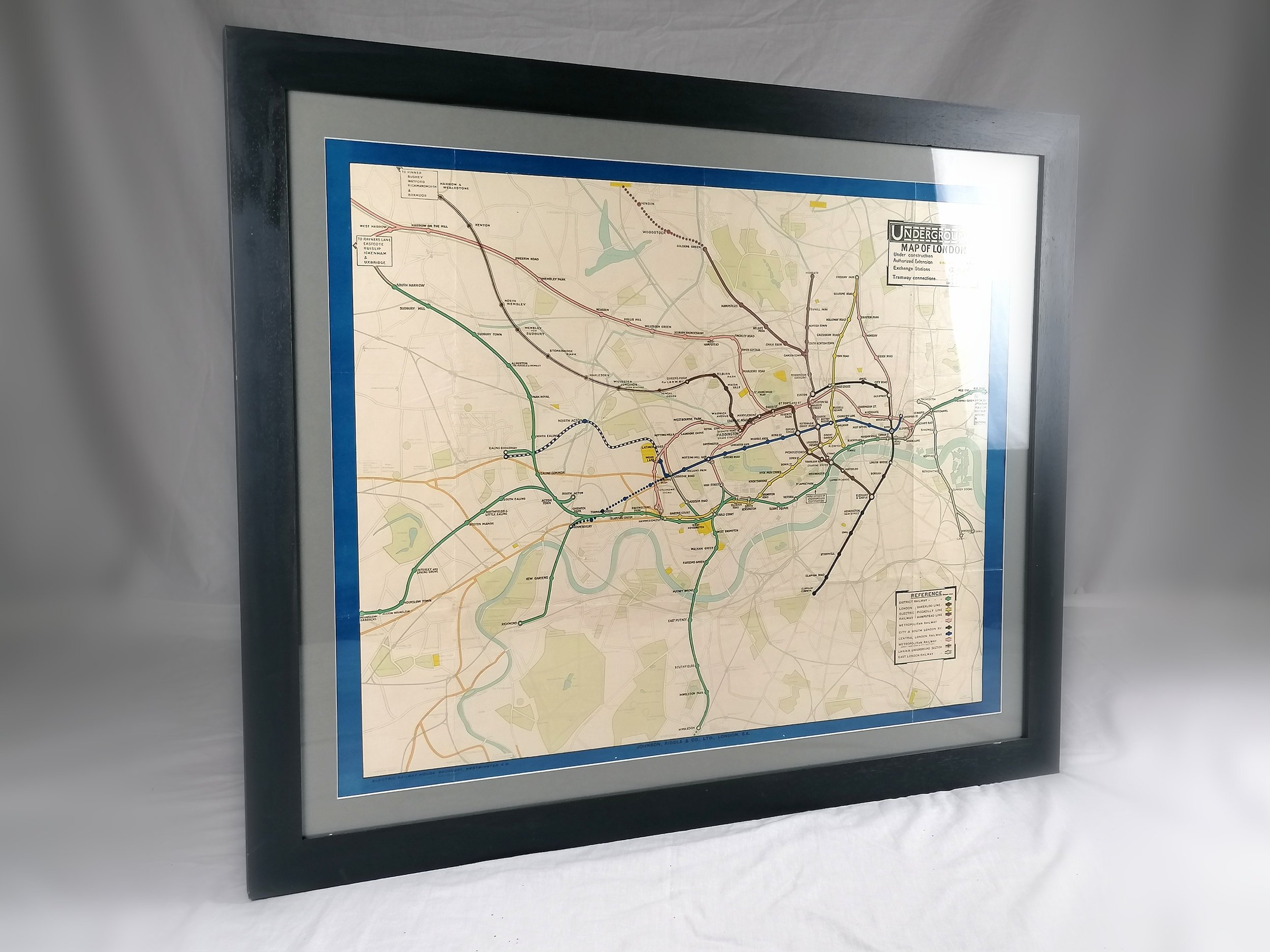
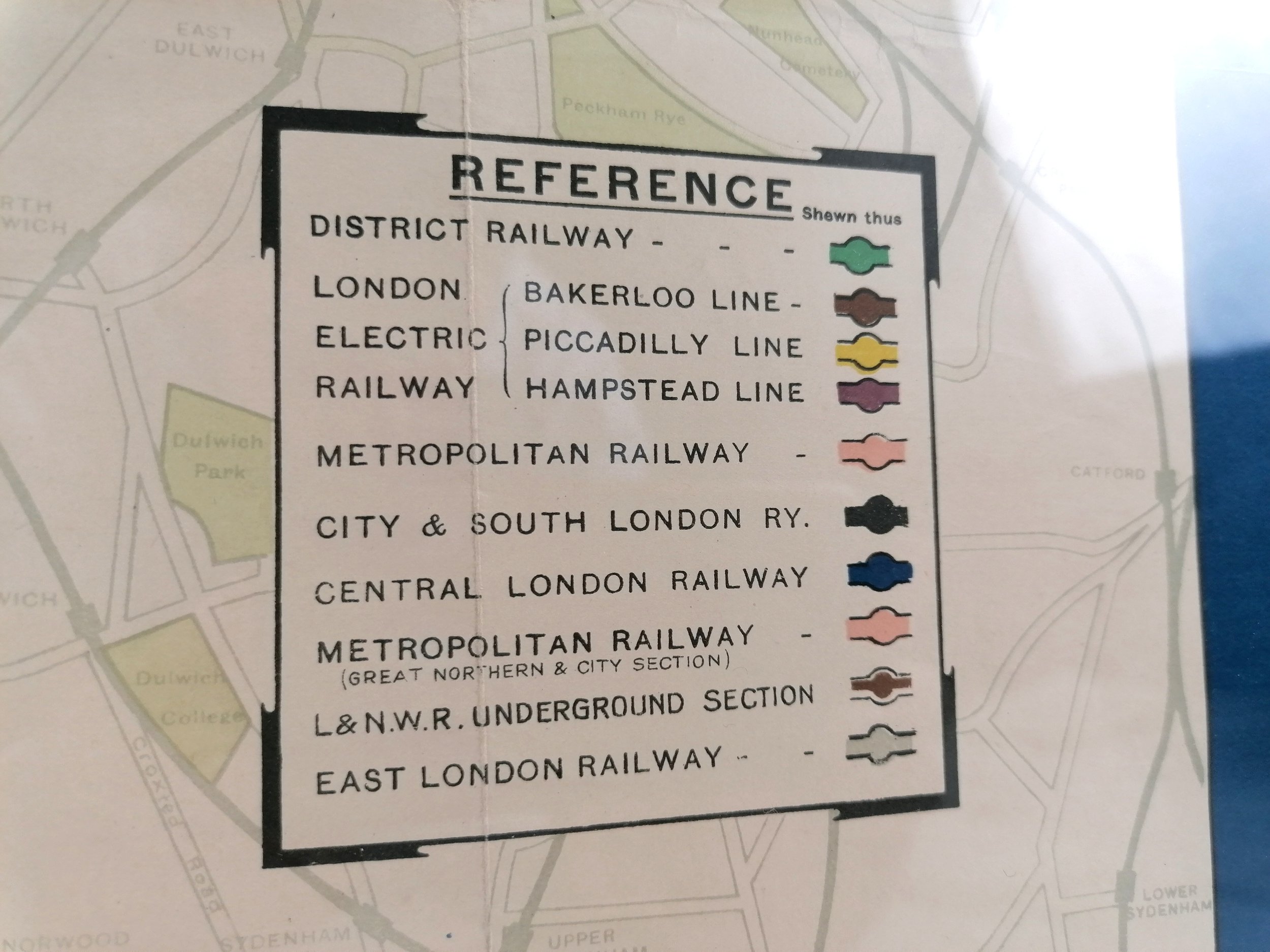
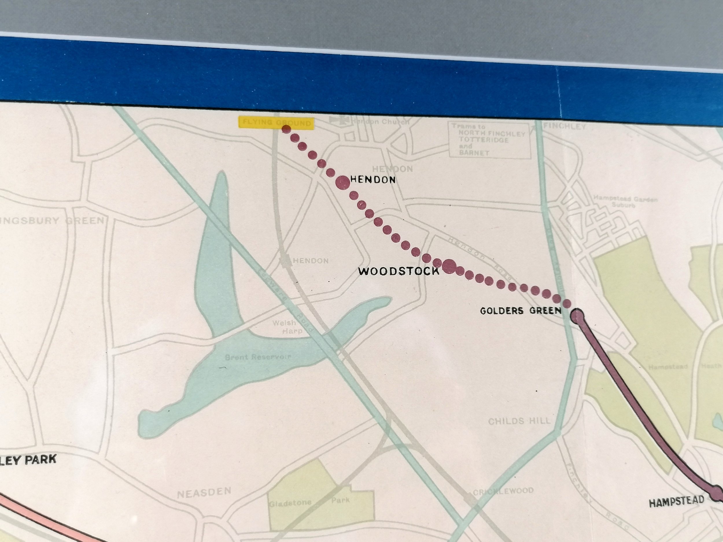
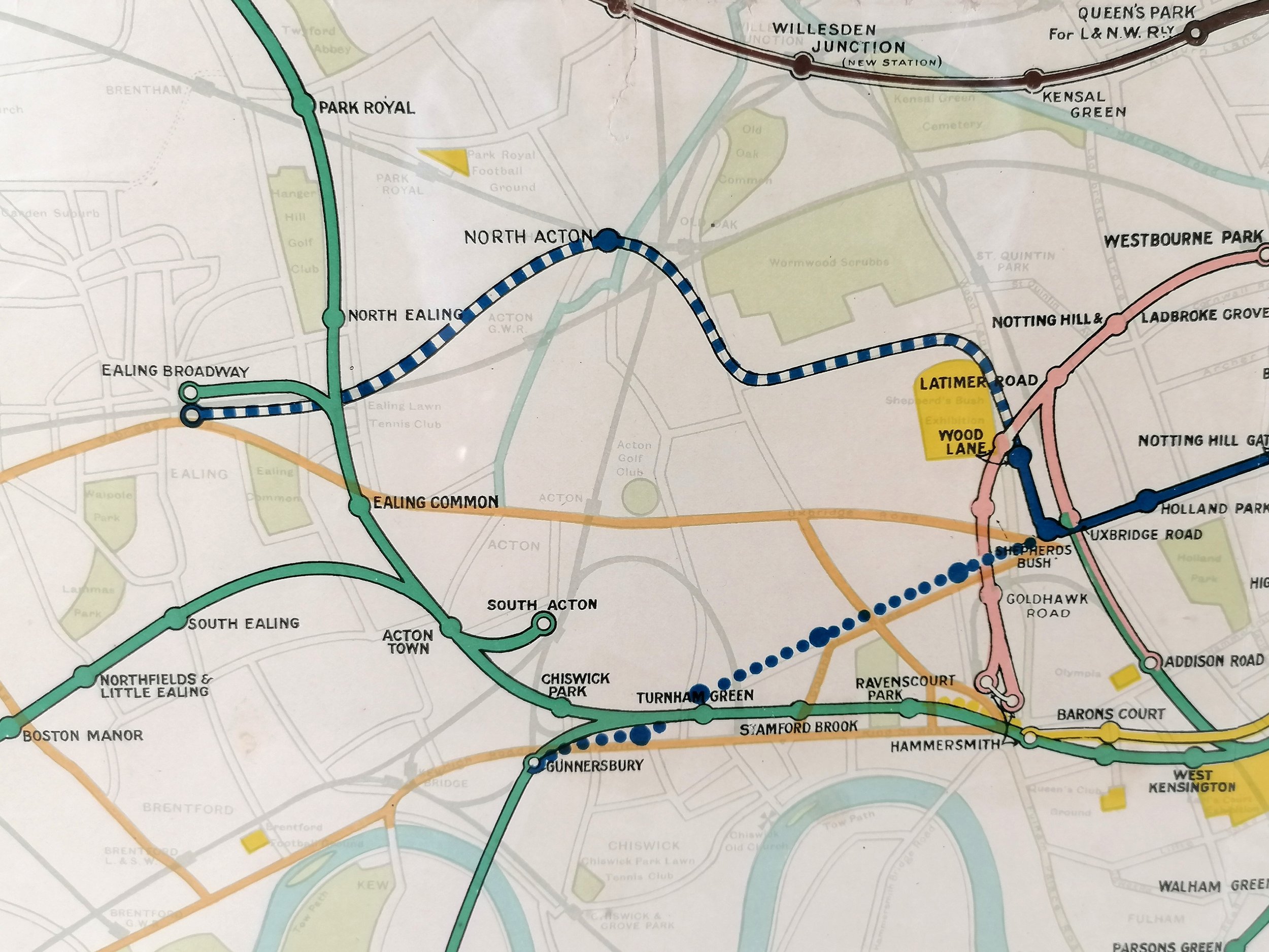
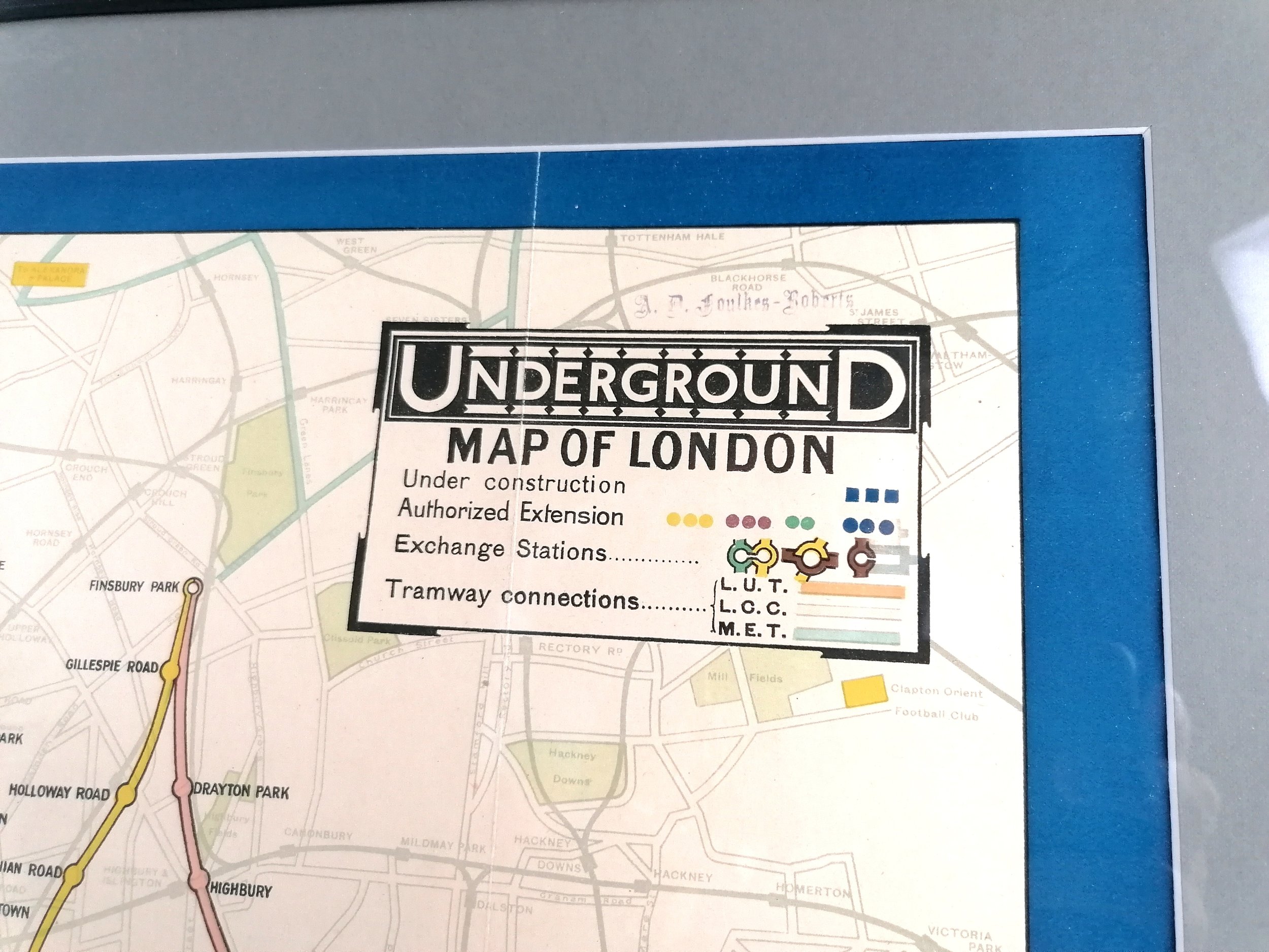
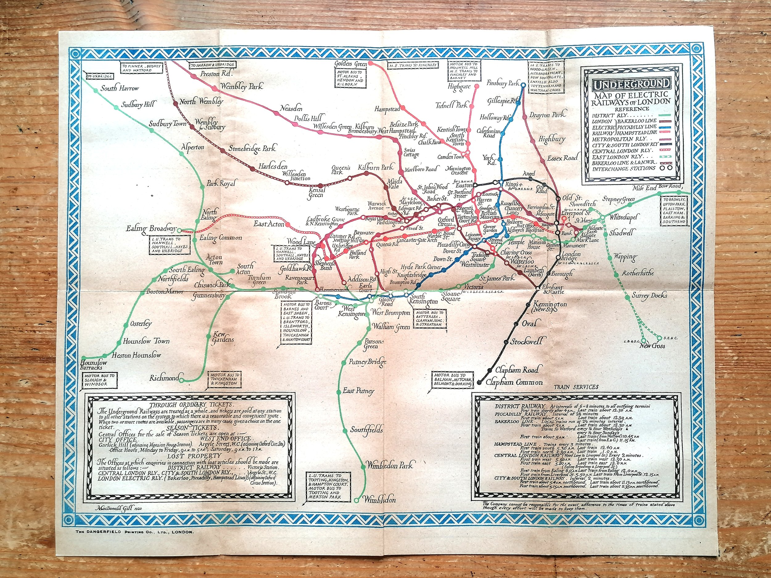
Map of London’s Underground Railways
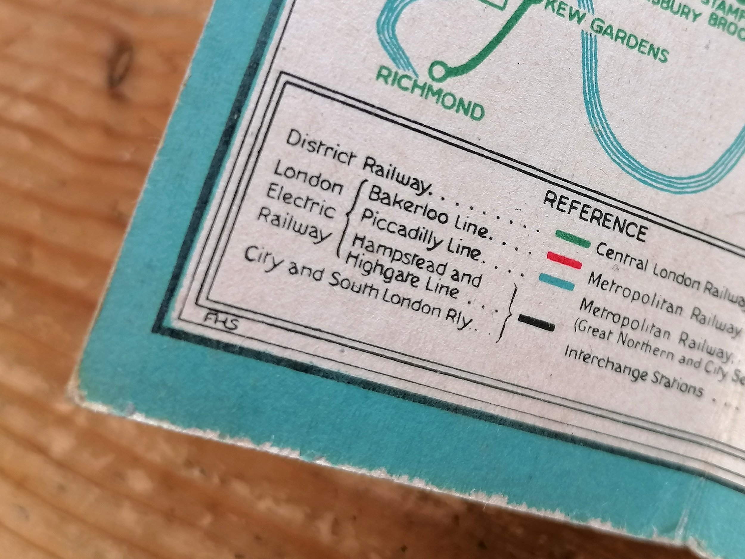
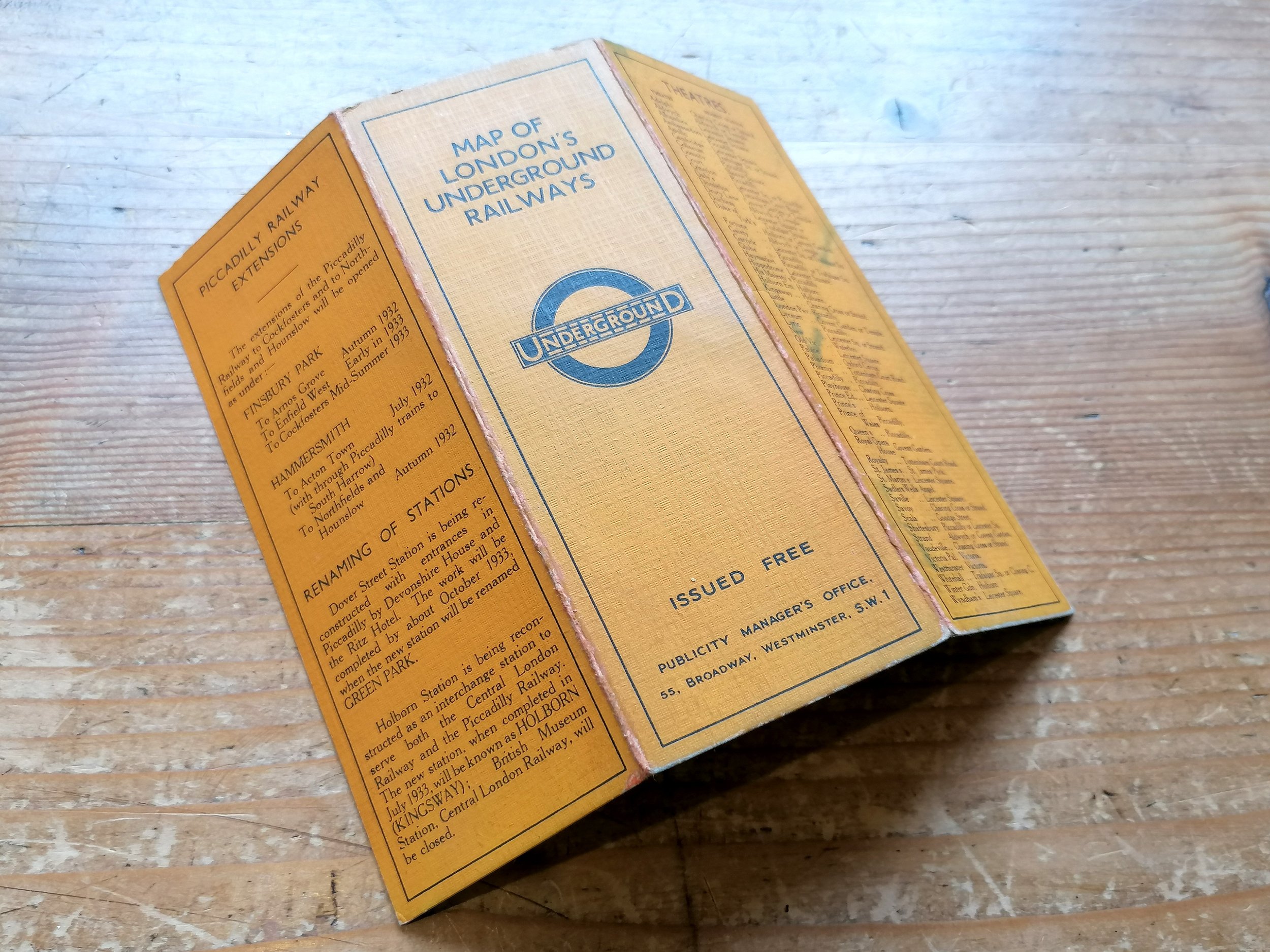
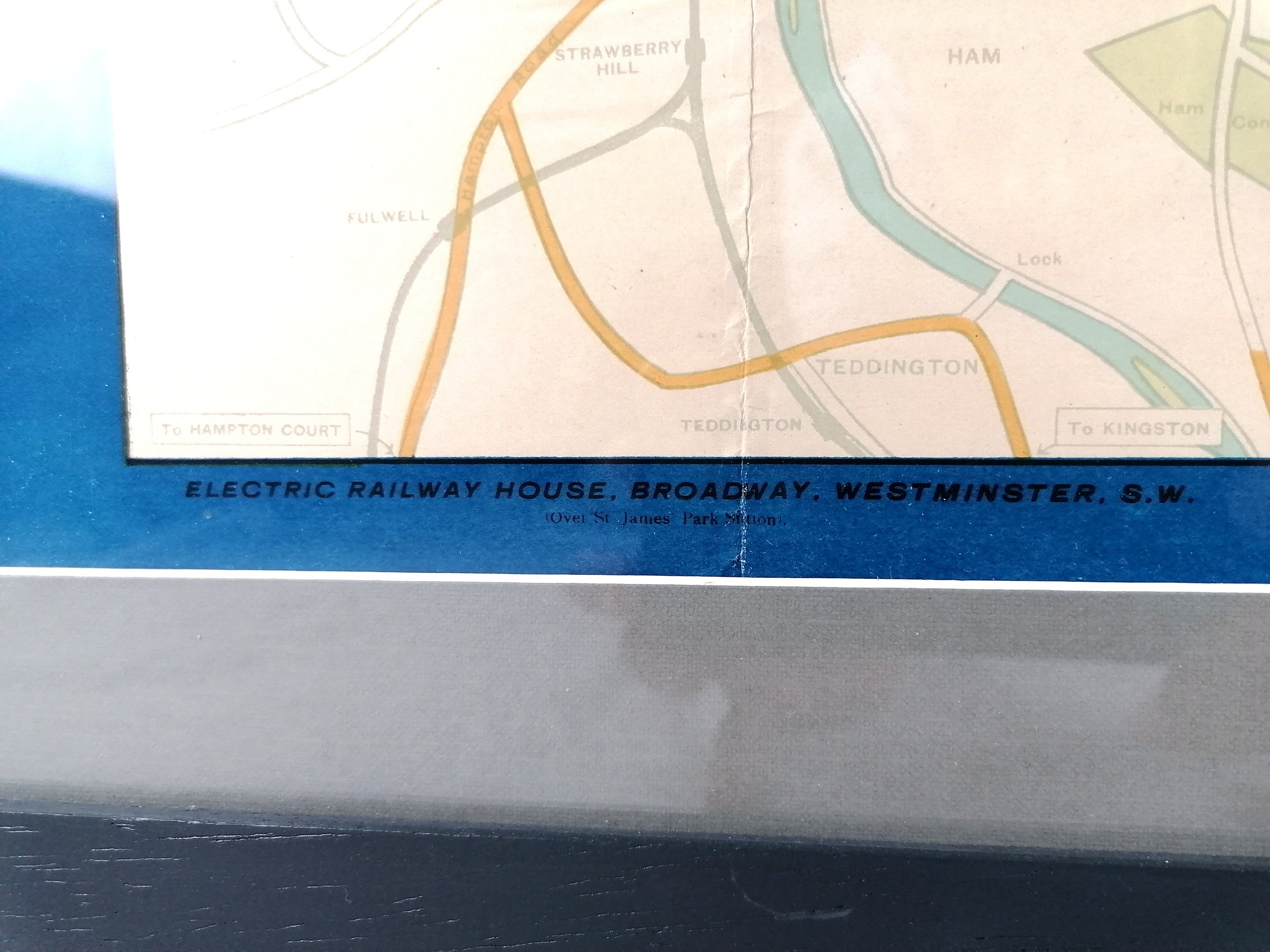
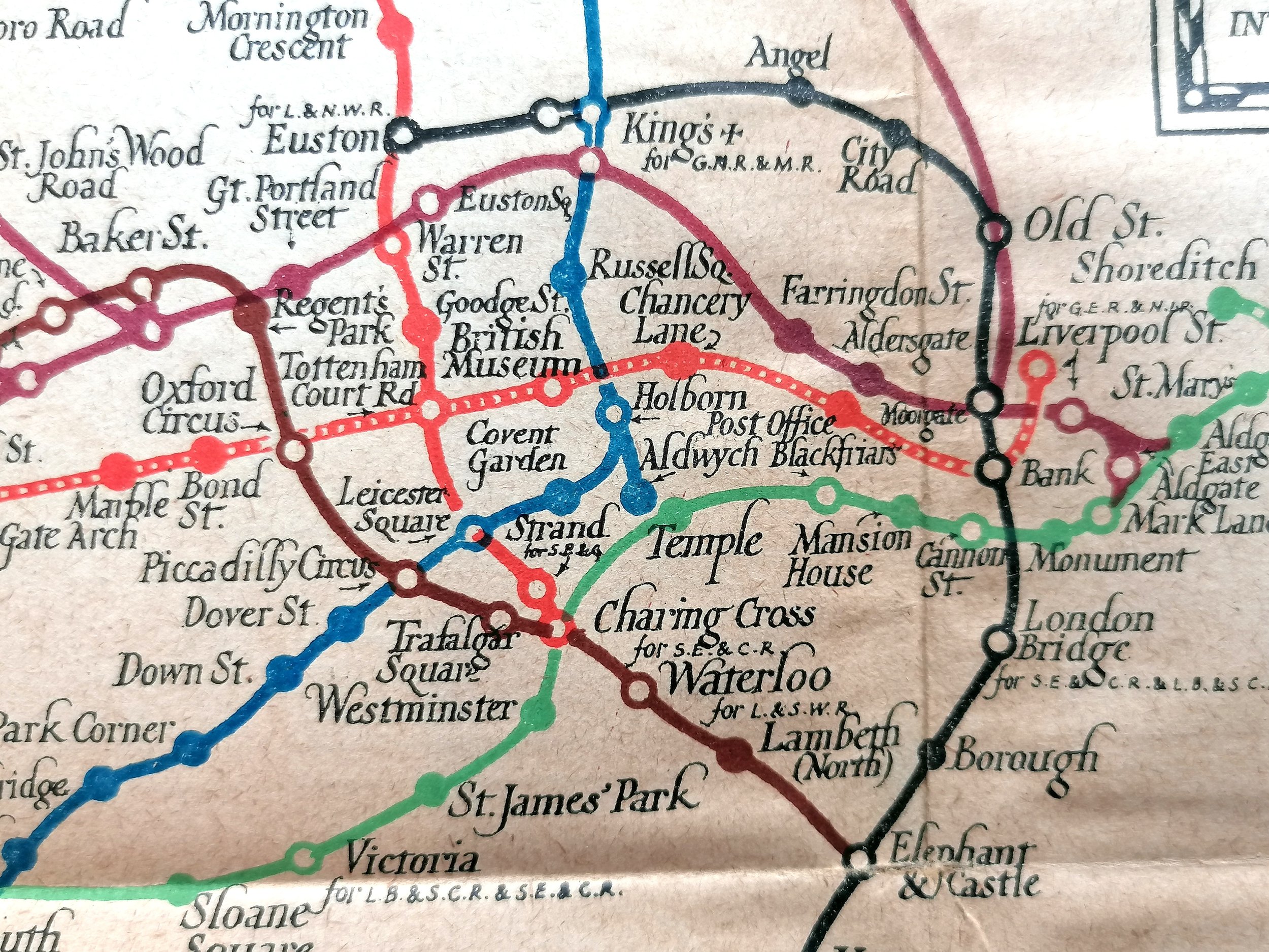
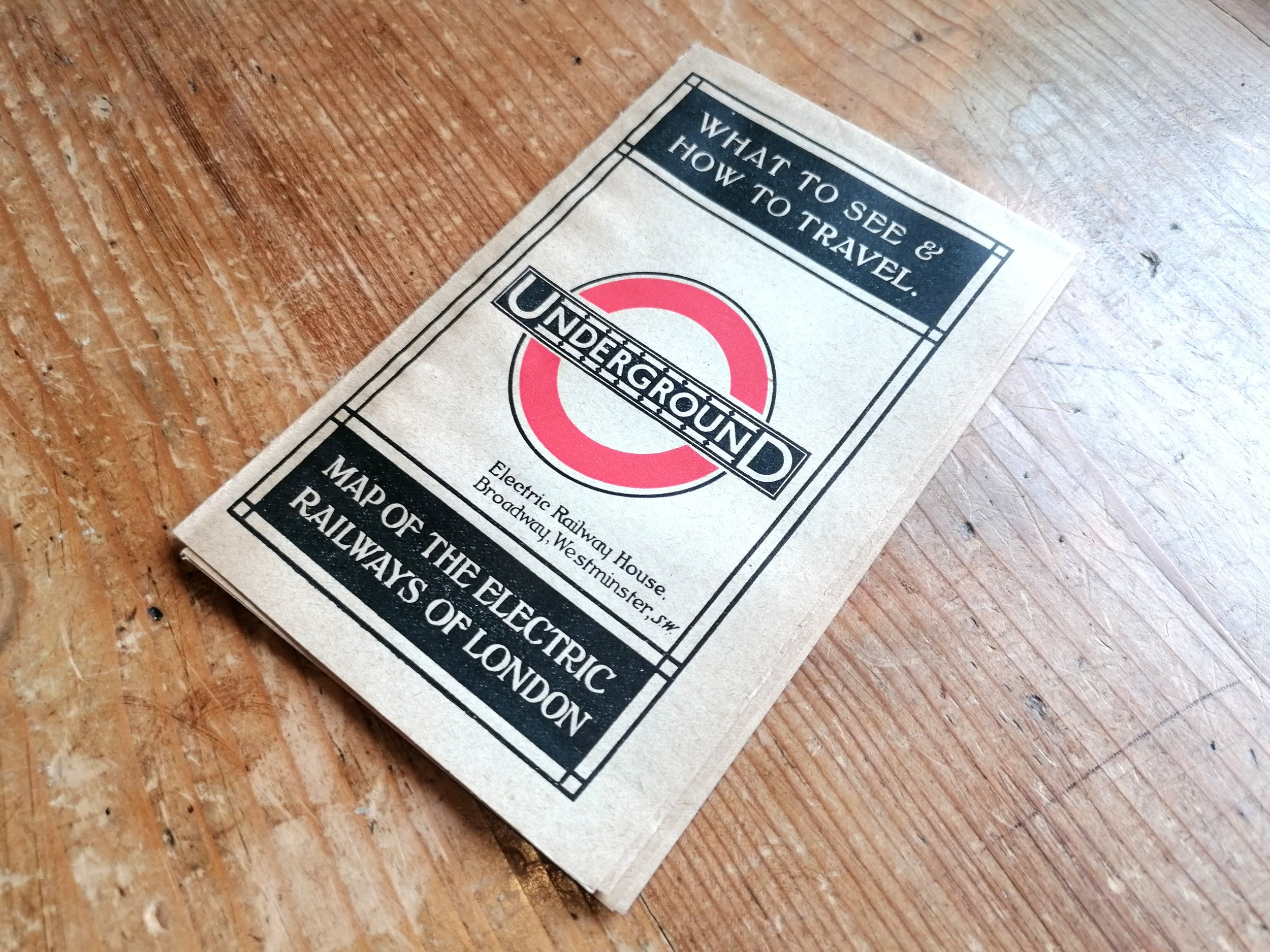
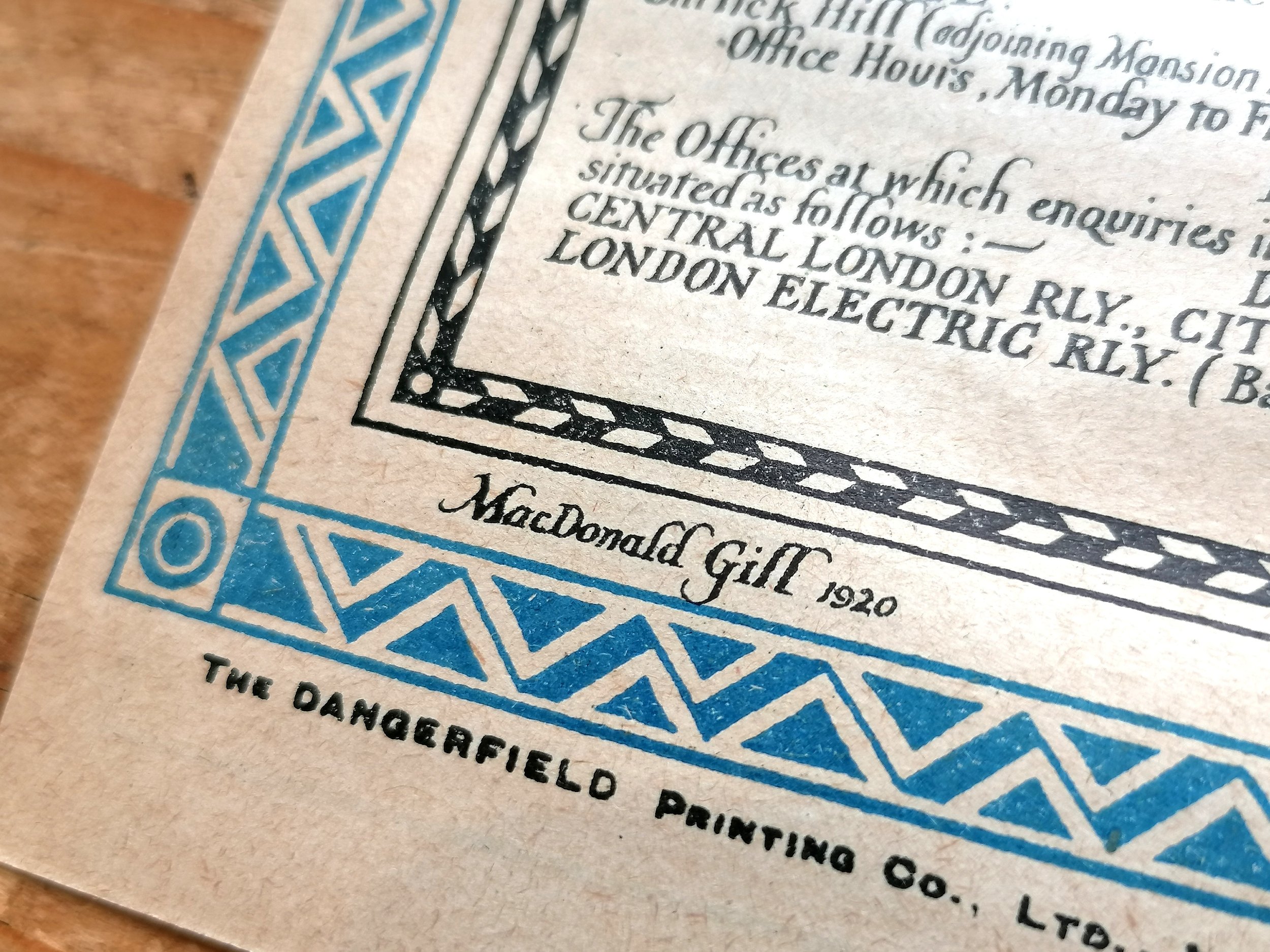
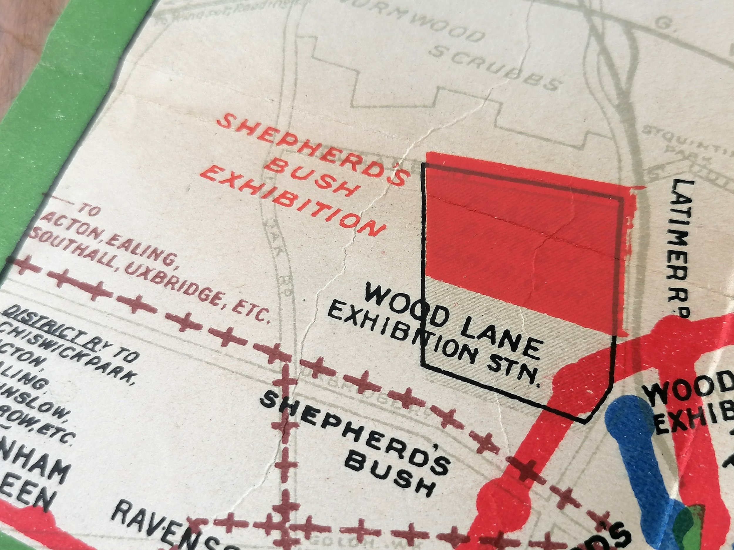
Designed by Frederick H Stingemore (FHS). Printed by Waterlow & Sons for London Underground . 1932, 12th Edition. 16.7cm x 14.2cm Linen-card. Condition: Excellent. Lightly used. Some light wear to cover edges and some marks on the back cover.
Despite a career spanning over 40 years in the London Underground Drawing Office, it is as HC Beck’s immediate predecessor as map designer that Frederick Stingemore is most well known.
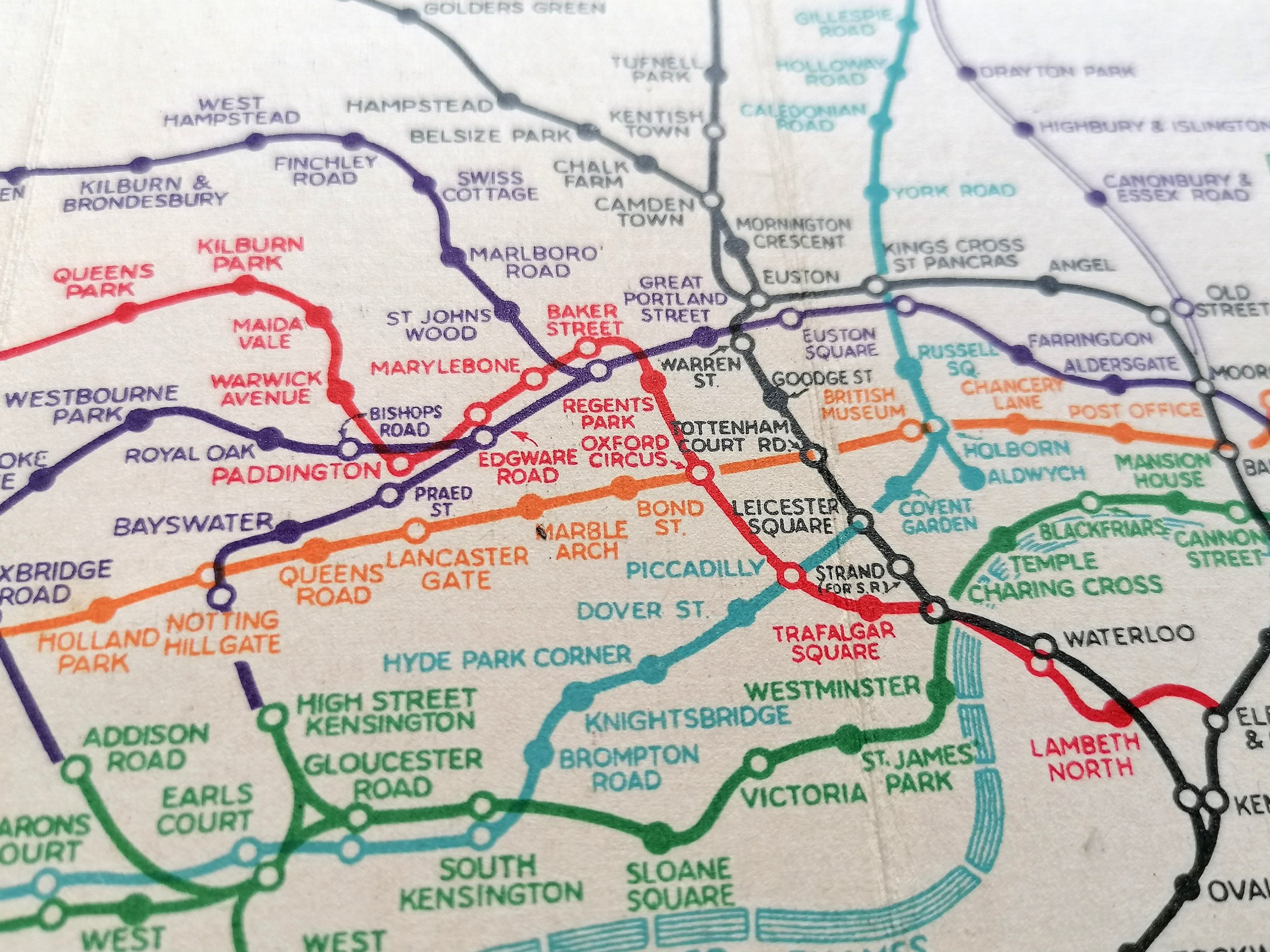
Like many before him, Stingemore grappled with the density and sprawl of the Underground railway network to draft a series of pocket maps from 1925 to 1932. The Stingemore series of pocket maps saw 12 bi-fold linen-card editions, each with a distinctive colour cover. The map design improved in clarity with each iteration whilst remaining topographical in format with some distortion applied for outlying areas. It was Stingemore that had encouraged his colleague, Harry Beck, to resubmit his radical circuit diagram design after it was initially rejected. Beck’s diagram was published in January 1933.
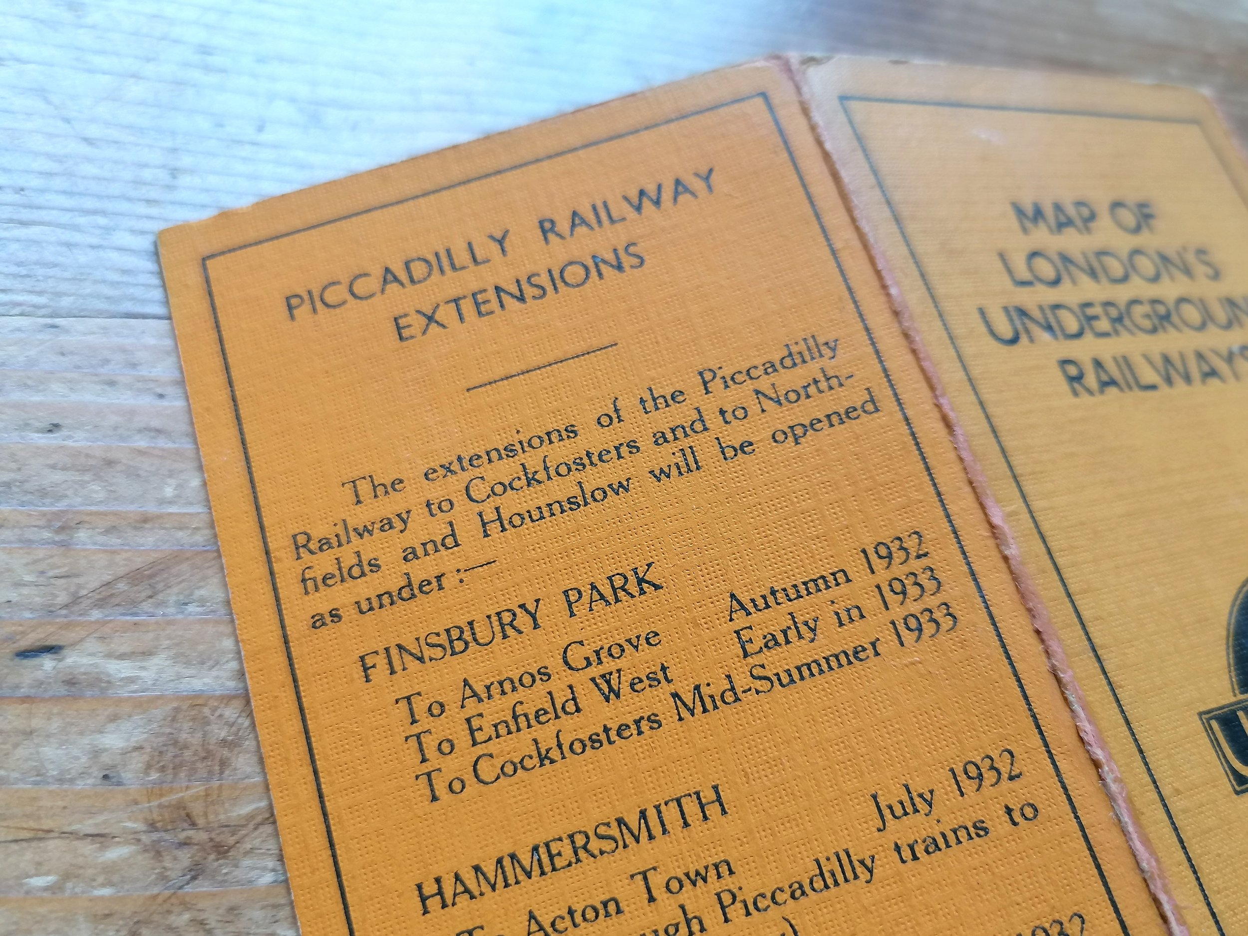
This edition saw the following changes over the 1931 (11th edition): 1. Cover colour change to yellow. 2. Piccadilly extensions shown as solid lines and open. 3. Note above UndergrounD logo directing read to back of the map for piccadilly extension station opening dates. 3. Down Street not shown between Hyde Park Corner and Dover Street (closed in 1932). 4. Places of Interest replaced with Piccadilly Extension Railway information.
Want to know more about this item? Send us a message

