 Image 1 of 8

 Image 2 of 8

 Image 3 of 8

 Image 4 of 8

 Image 5 of 8

 Image 6 of 8

 Image 7 of 8

 Image 8 of 8


1932 Underground Map of Central London - South Harrow to The West End
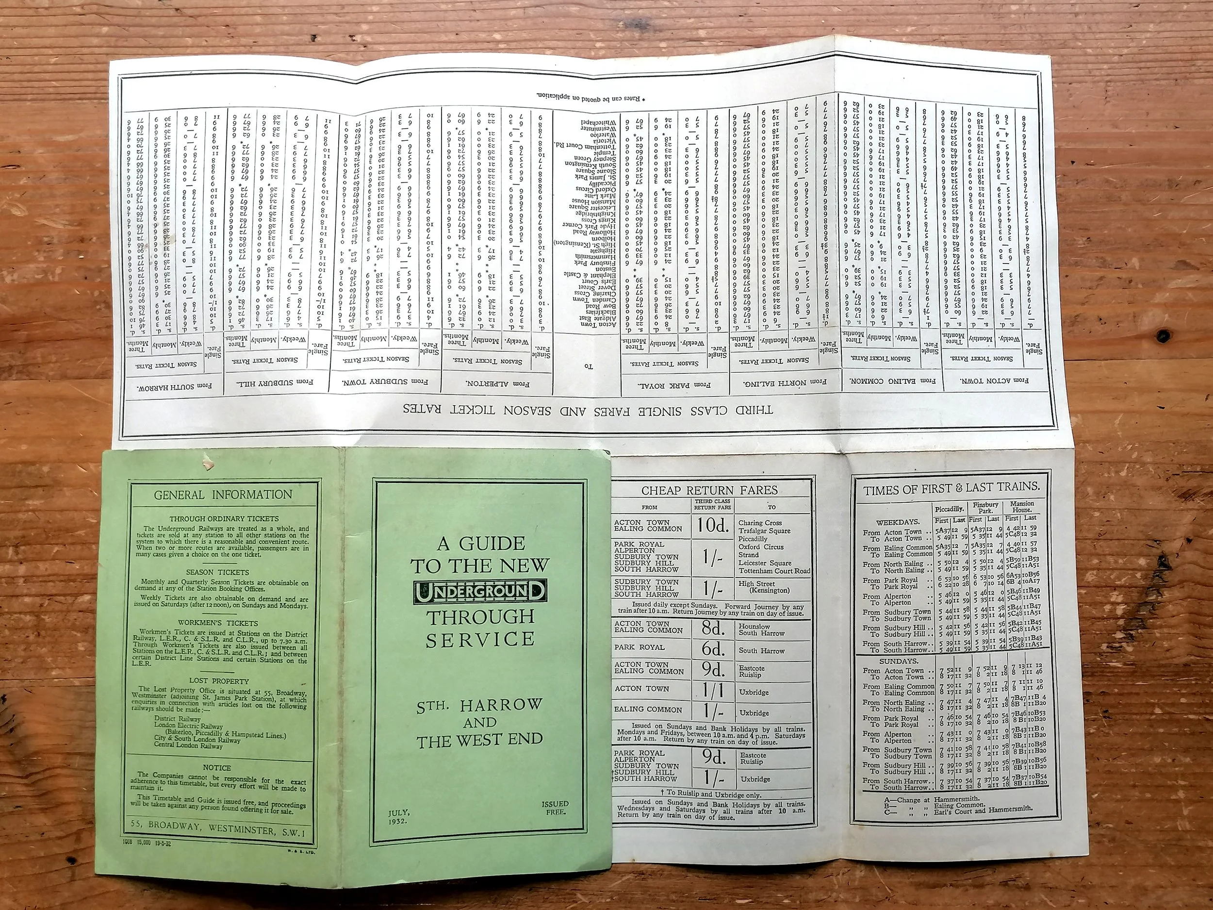
A Guide To The New Underground Through Service - Sth Harrow to The West End.
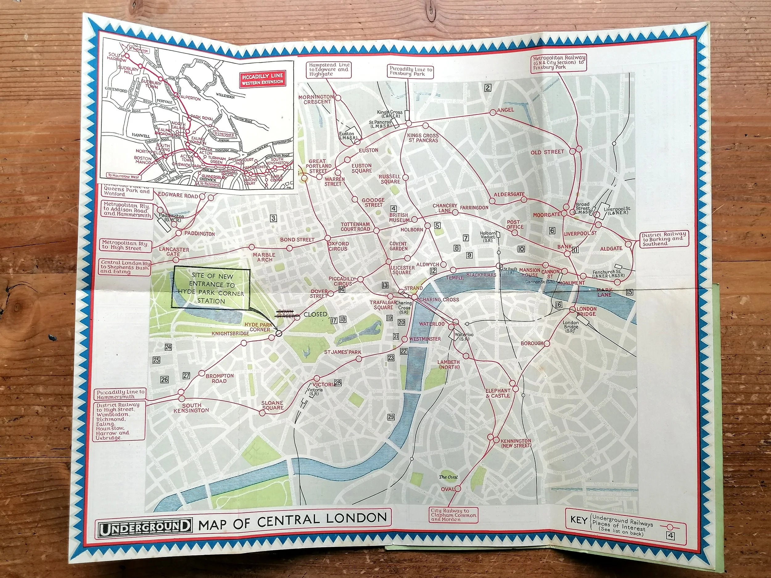
Underground Map of Central London
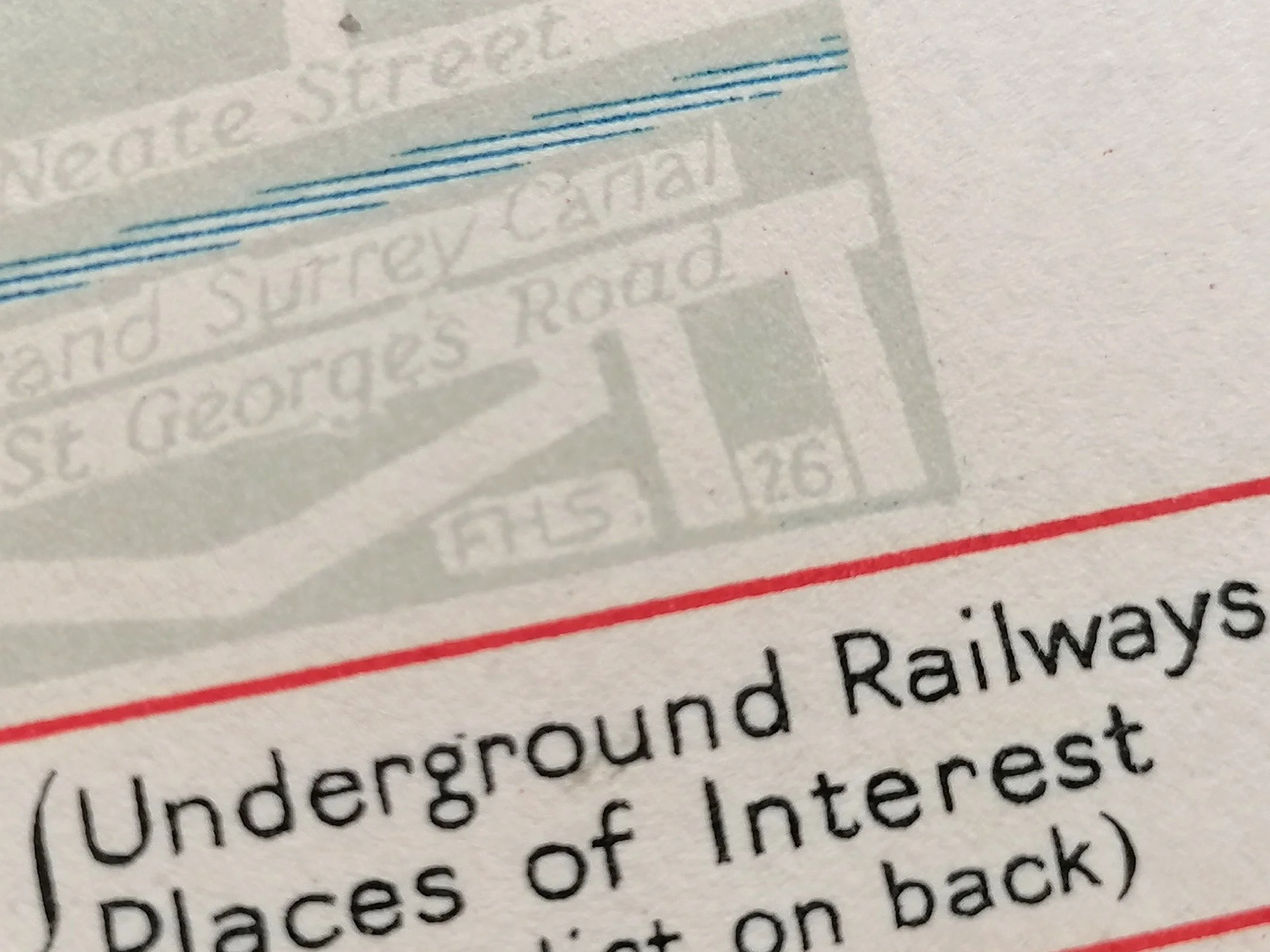
Designed by Fred Stingemore. Printed by Waterlow & Sons for London Underground. Colour lithograph. Timetable and information on verso. Folded and presented in card covers. Print Code 1058 15,000 19-5-32. Dated July 1932.
These folding paper maps were issued to promote the new western and northern extensions of the Piccadilly line. The card covers were specific to the station they were issued to and therefore there are a lot of cover variants (and unique print codes).
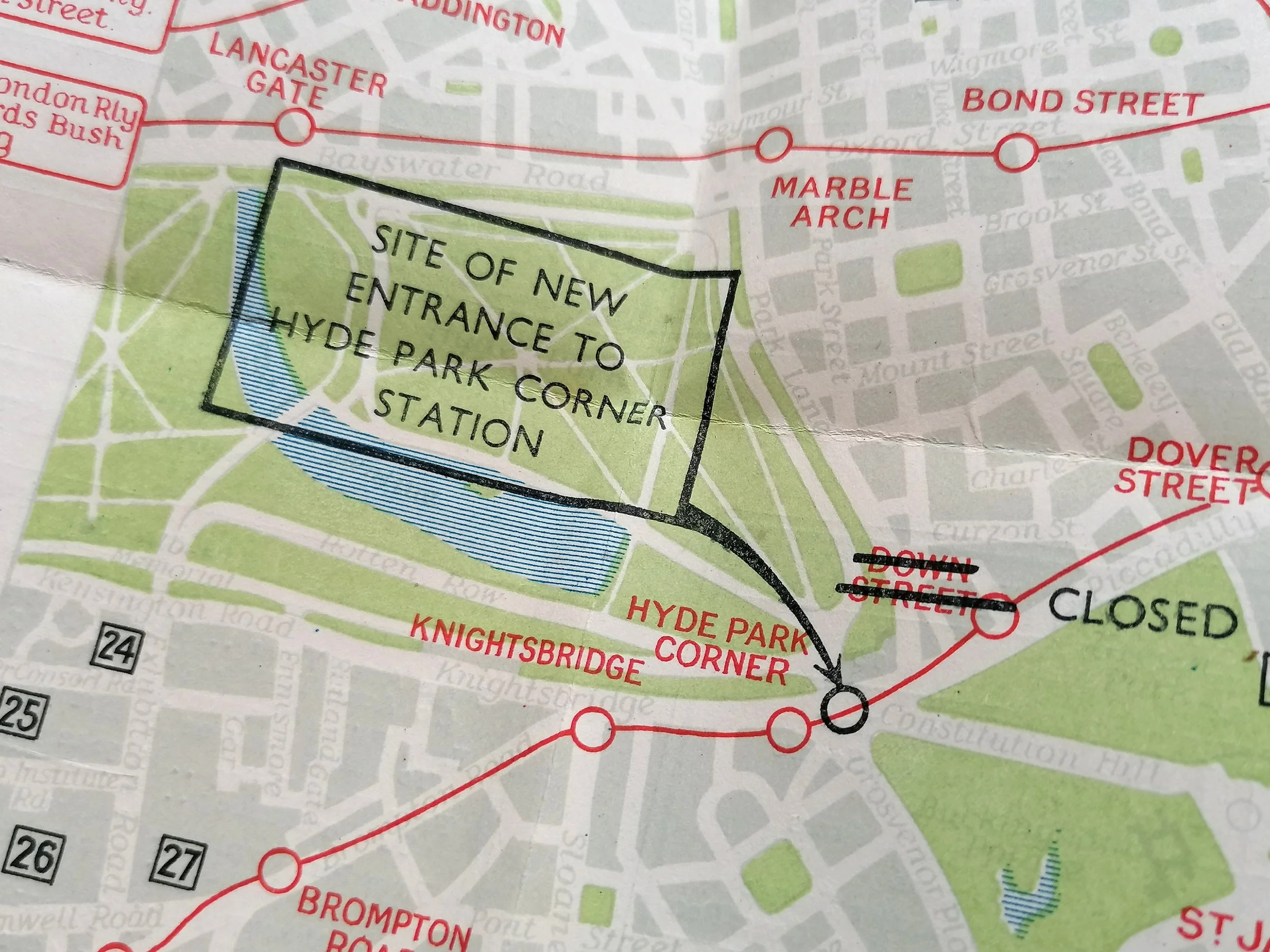
The map itself was designed years earlier (1926) by Fred Stingemore (who also designed the common pocket map 1925-1933). Underground lines are shown with red lines and printed upon a detailed street map of central London. The decorative border is reminiscent of those by Thomas ‘Shep’ Shepherd used for pocket and station maps 1946-1947. There are two maps inset, showing the western and norther extensions of the Piccadilly Line which opened between 1931-1933.
