 Image 1 of 9

 Image 2 of 9

 Image 3 of 9

 Image 4 of 9

 Image 5 of 9

 Image 6 of 9

 Image 7 of 9

 Image 8 of 9

 Image 9 of 9


1907 London Underground Map - Balkan States Exhibition
All Lines Lead to Earl’s Court - Balkan States Exhibition - Map of Railways of London
Unknown designer. Unknown Printer. Published by UERL. 1907. Measures 33cm x 40cm.
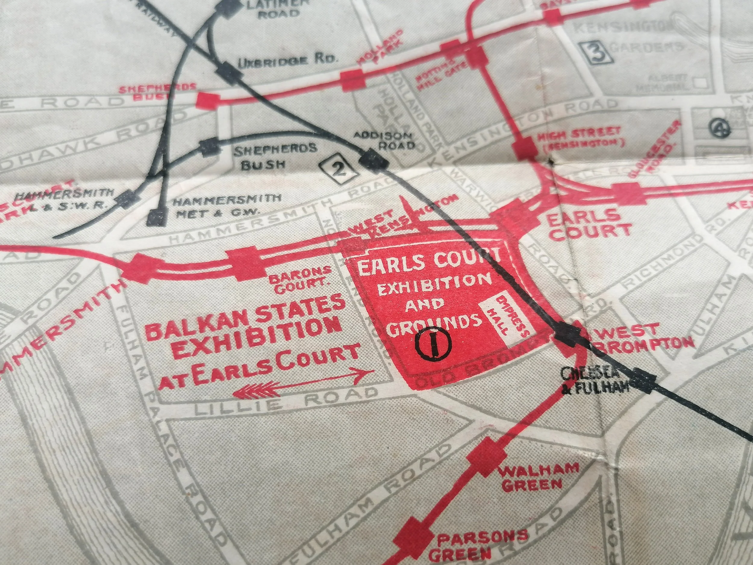
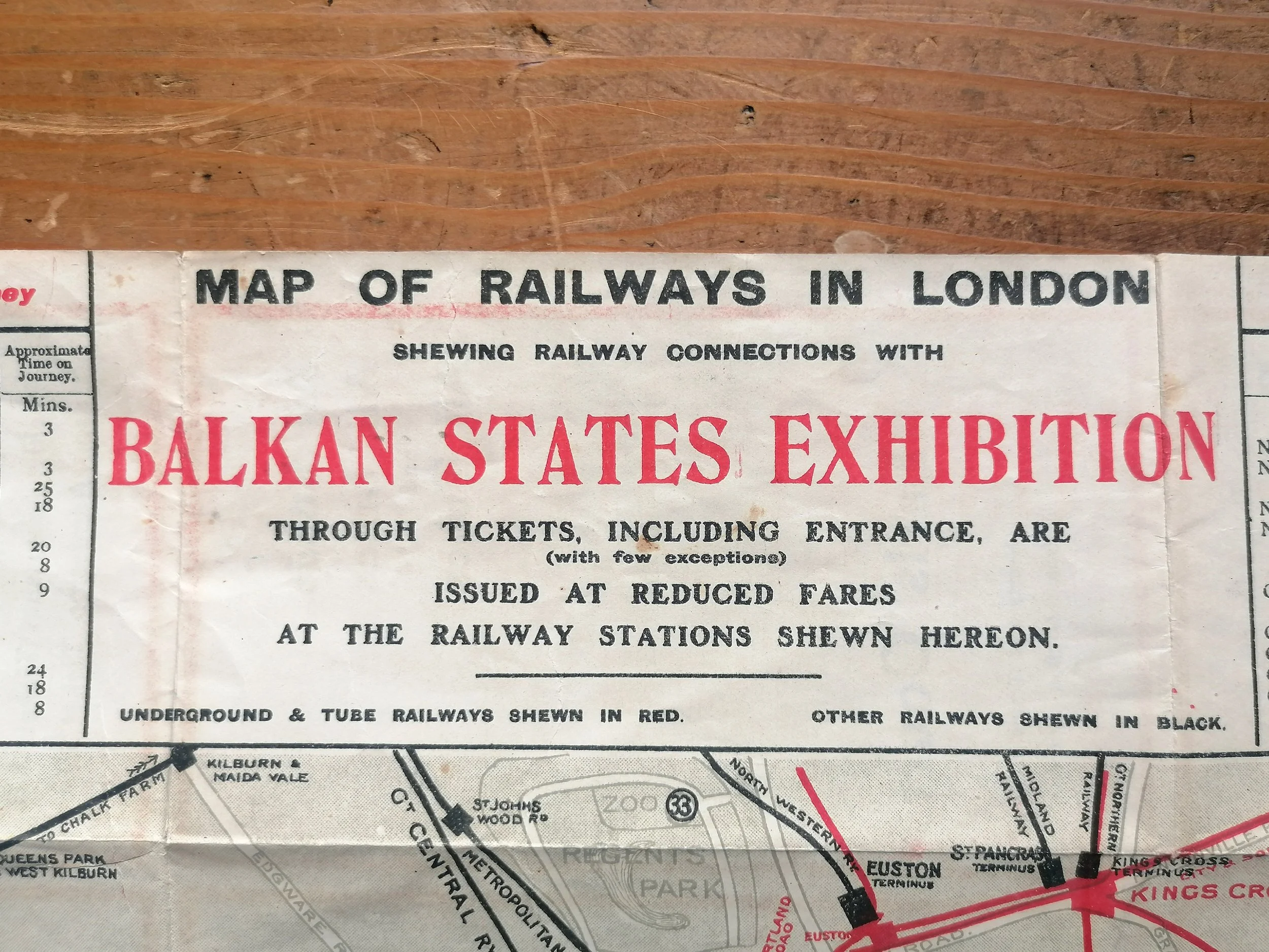
This geographic paper edition of the Underground map was issued by the UERL / Bakerloo Tube for the Balkan States Exhibition at Earl's Court which took place in 1907. It shows the Underground Group's lines as well as some of the lines belonging to the Metopolitan Railway and Central London Railway printed in red, other railway lines are printed in black. General geographic features such as roads and parks are also shown, the Earls Court Exhibition Ground is marked in red with an arrow to indicate the Balkan States Exhibition.
This map does not show any lines under construction, but it does show the Charing Cross & Hampstead Railway as an opened line. Surrounding the map there are lists of stations and journey times to Earls Court and places of interest in London. The reverse of the map is printed in red and blue and has details about the Balkan States Exhibition, including ticket prices, refreshments, Earls Court attractions and drawings of the Old Japan Empress Hall and Balkan Village Summer Theatre. Times of the first and last trains and fares for the Bakerloo Tube are also given.
