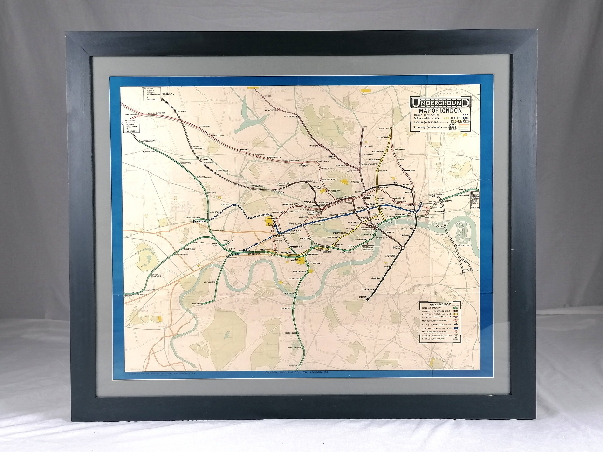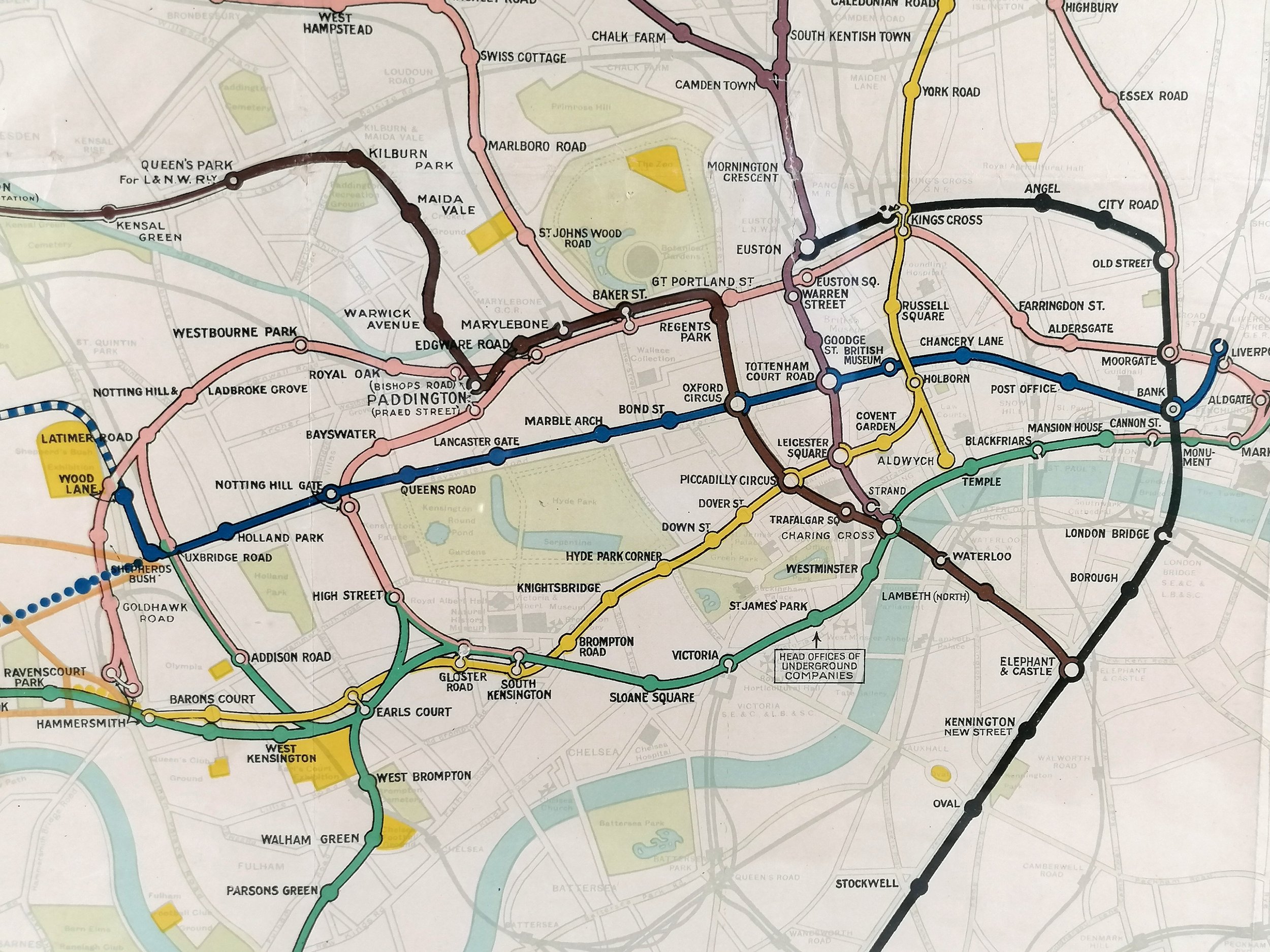


1933 London Railway Map Including Underground Railways - Quad Royal
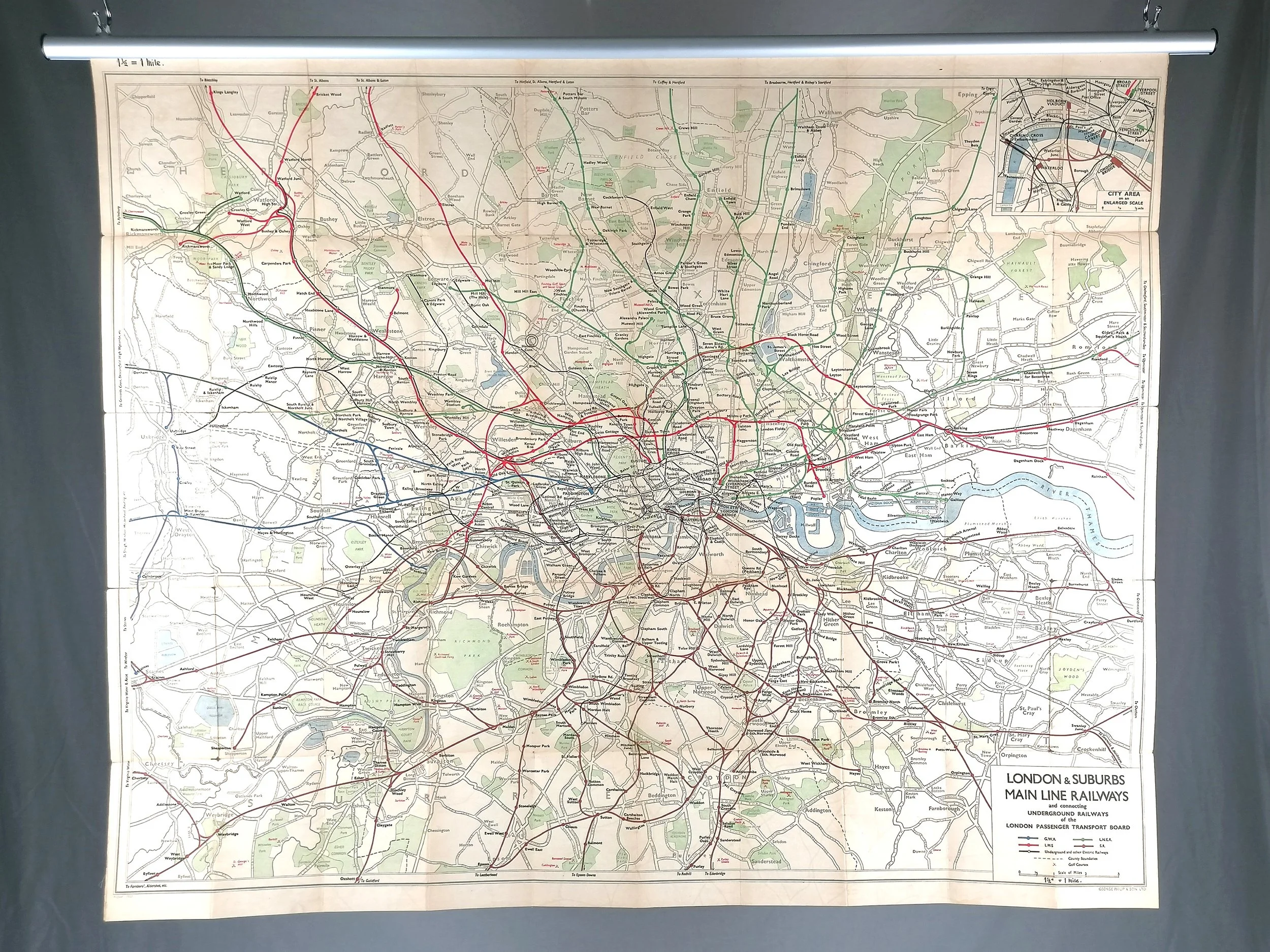
Phillips New Railways Map of London & District - Showing Main Line Railways and Communicating Underground Railways of the LONDON PASSENGER TRANSPORT BOARD.
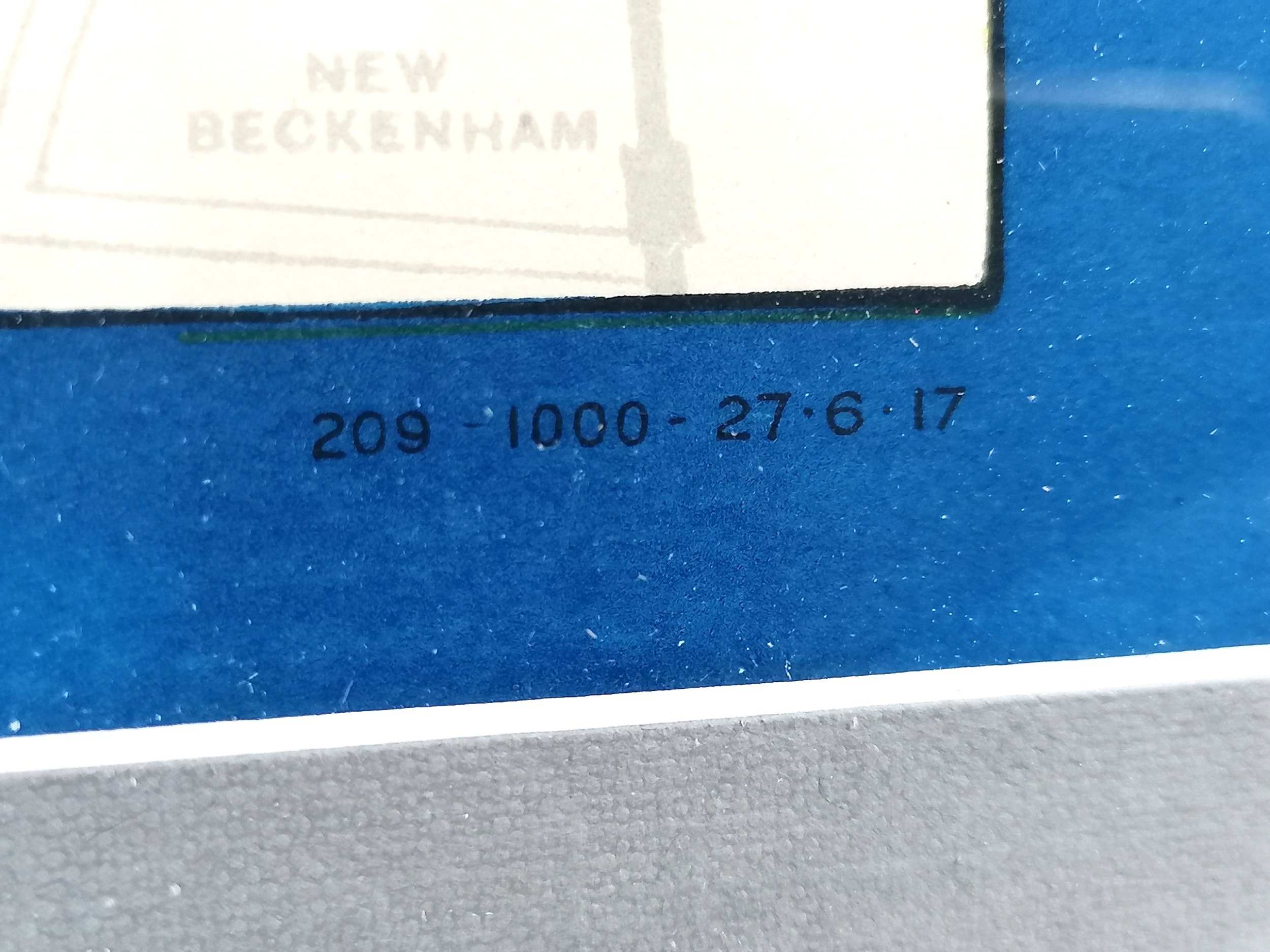
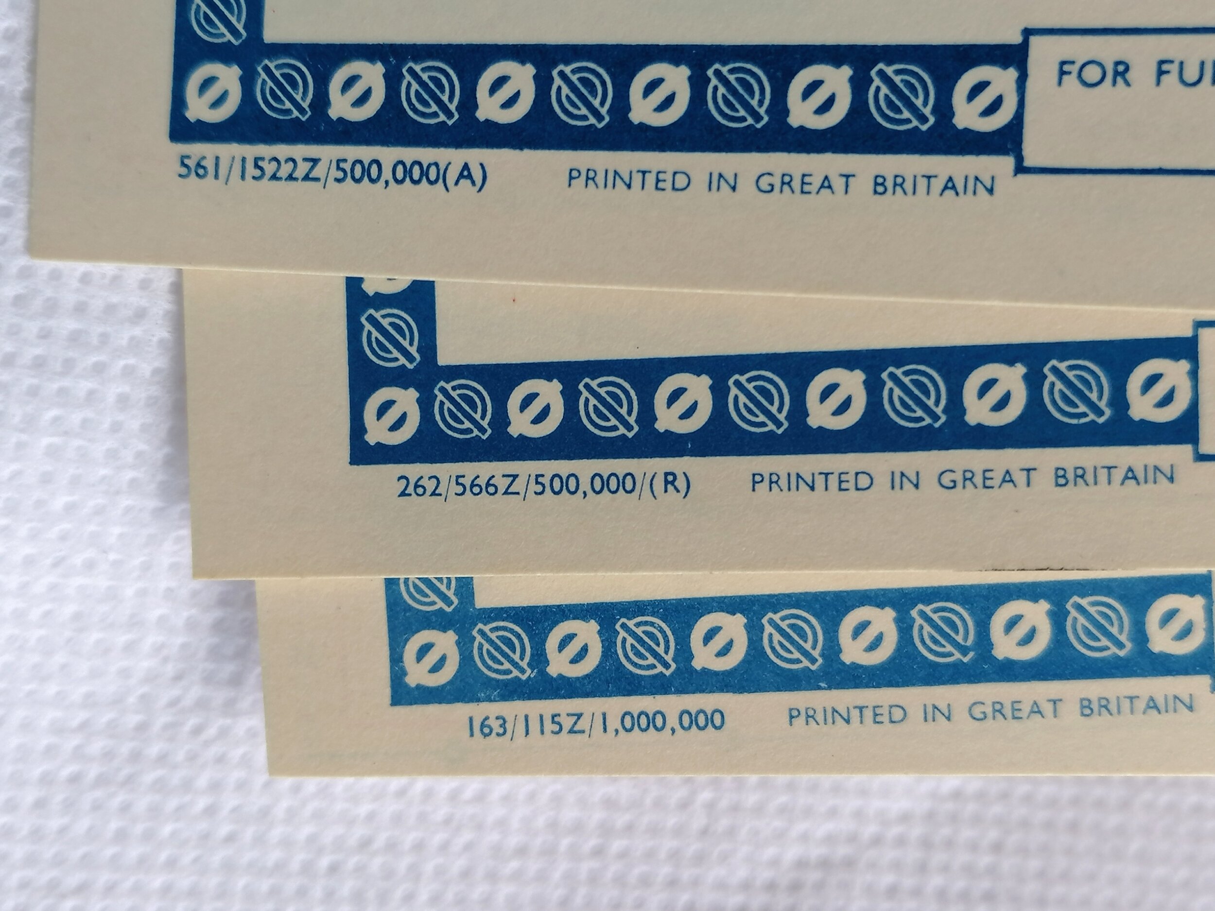
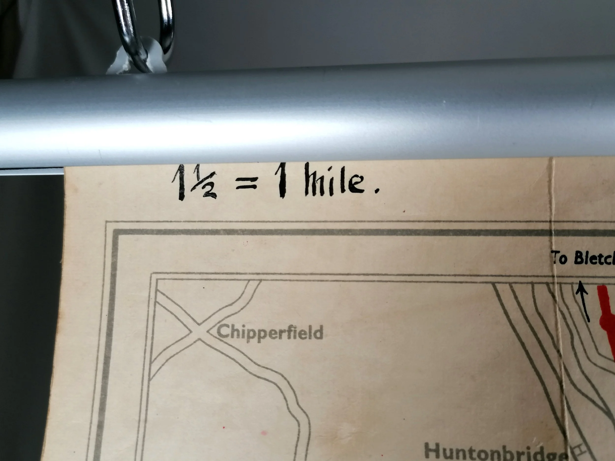
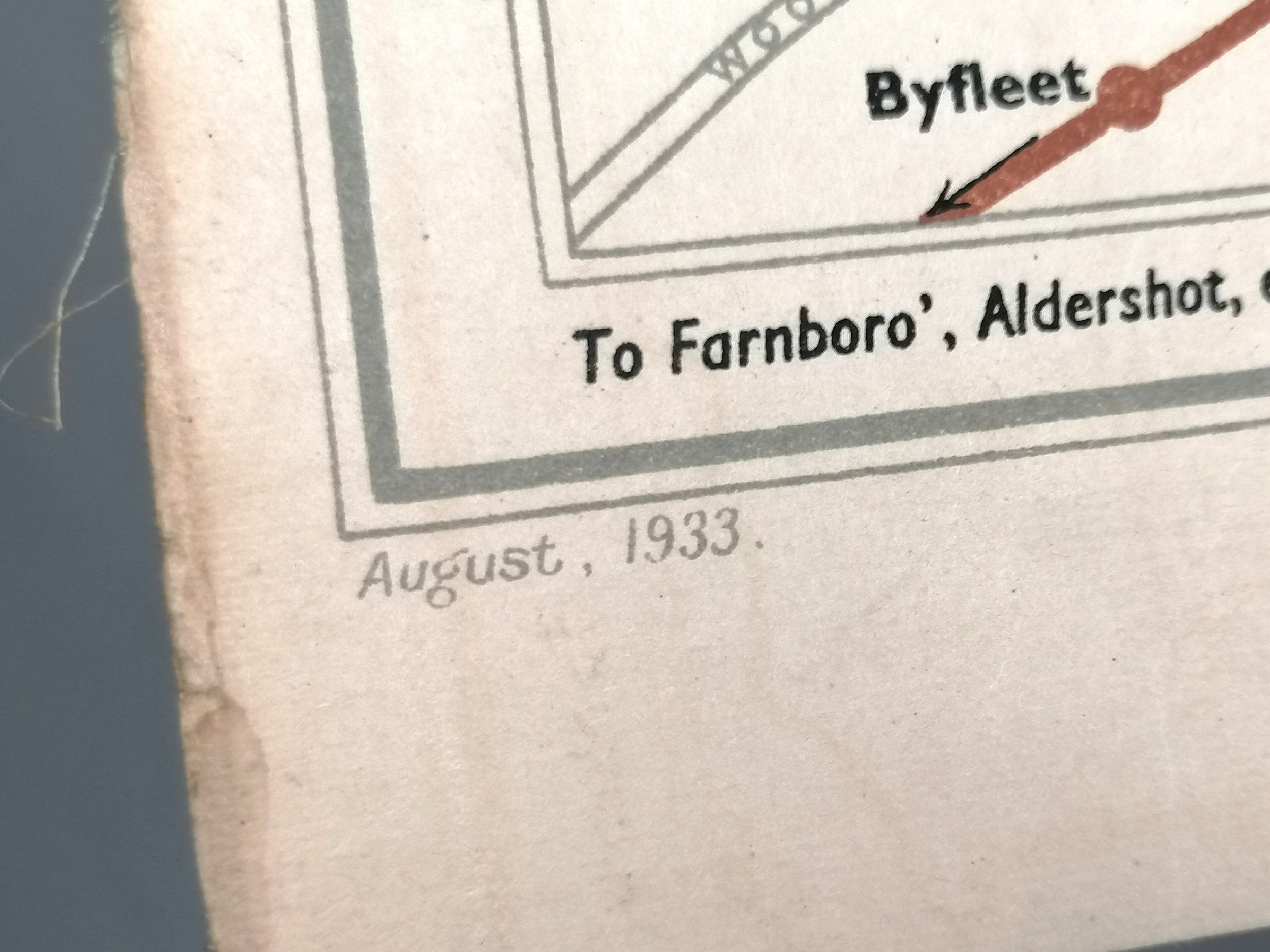
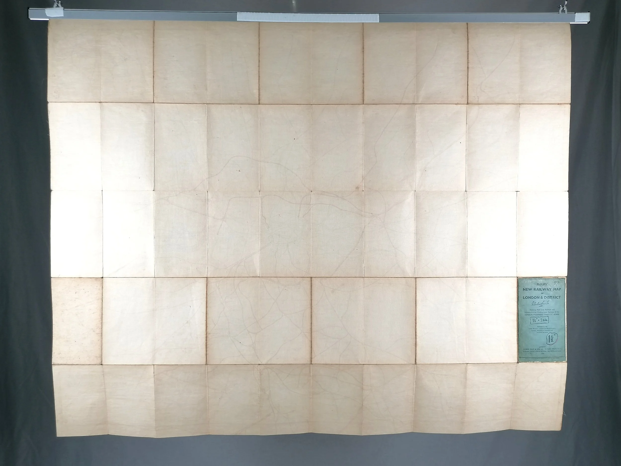
Printed by George Phillip & Son ltd. Colour lithograph on linen. Dated Aug 1933 at the bottom of the map (1934 on the cover). Measures 127cm x 101cm. Excellent condition. Folded as issued. Just light wear to cover with original owners name in handwritten ink along with scale and year.
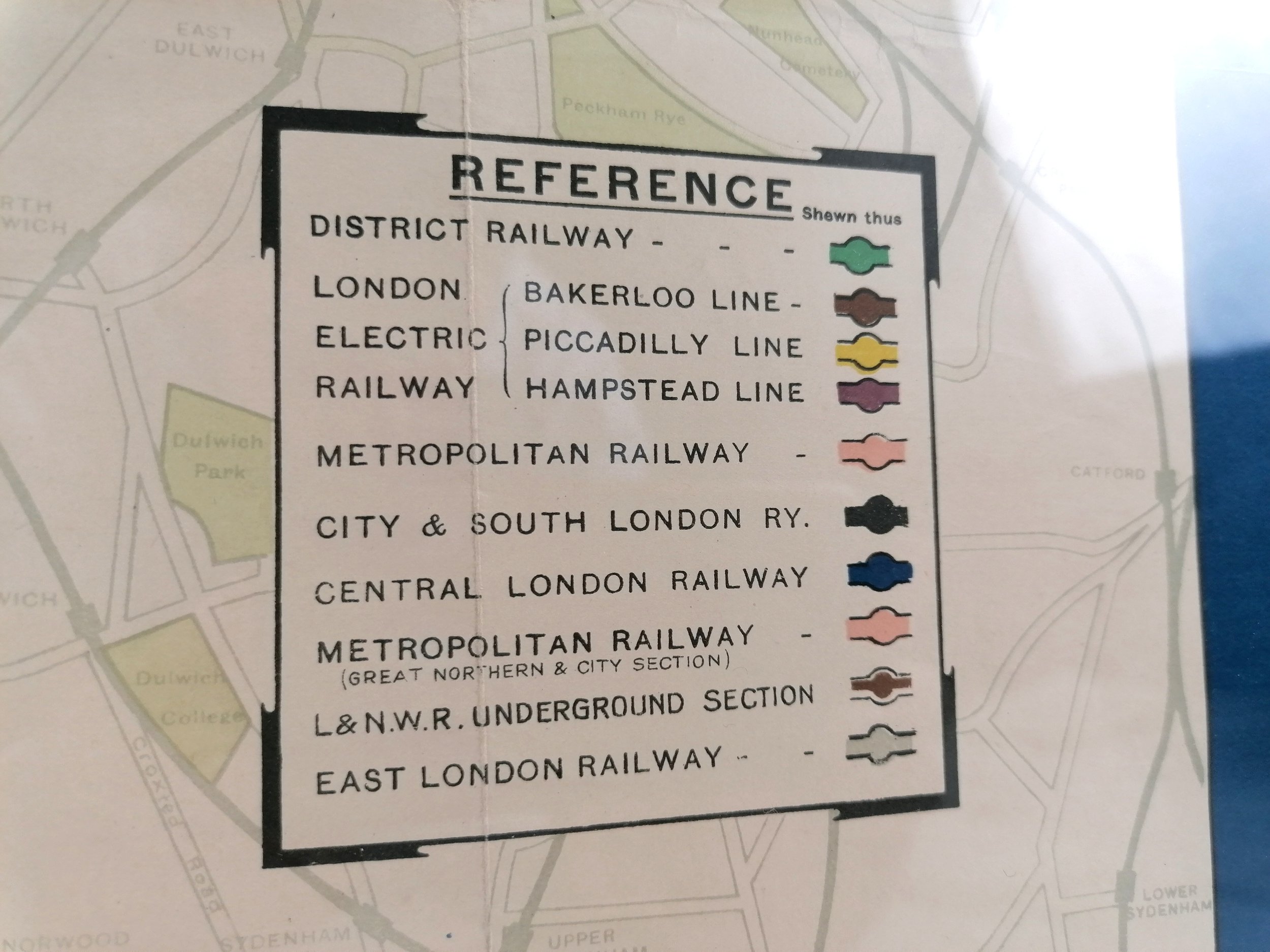
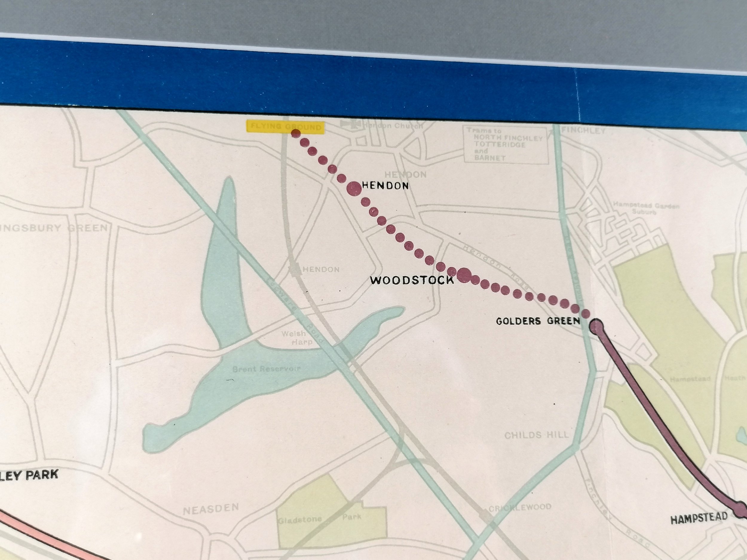
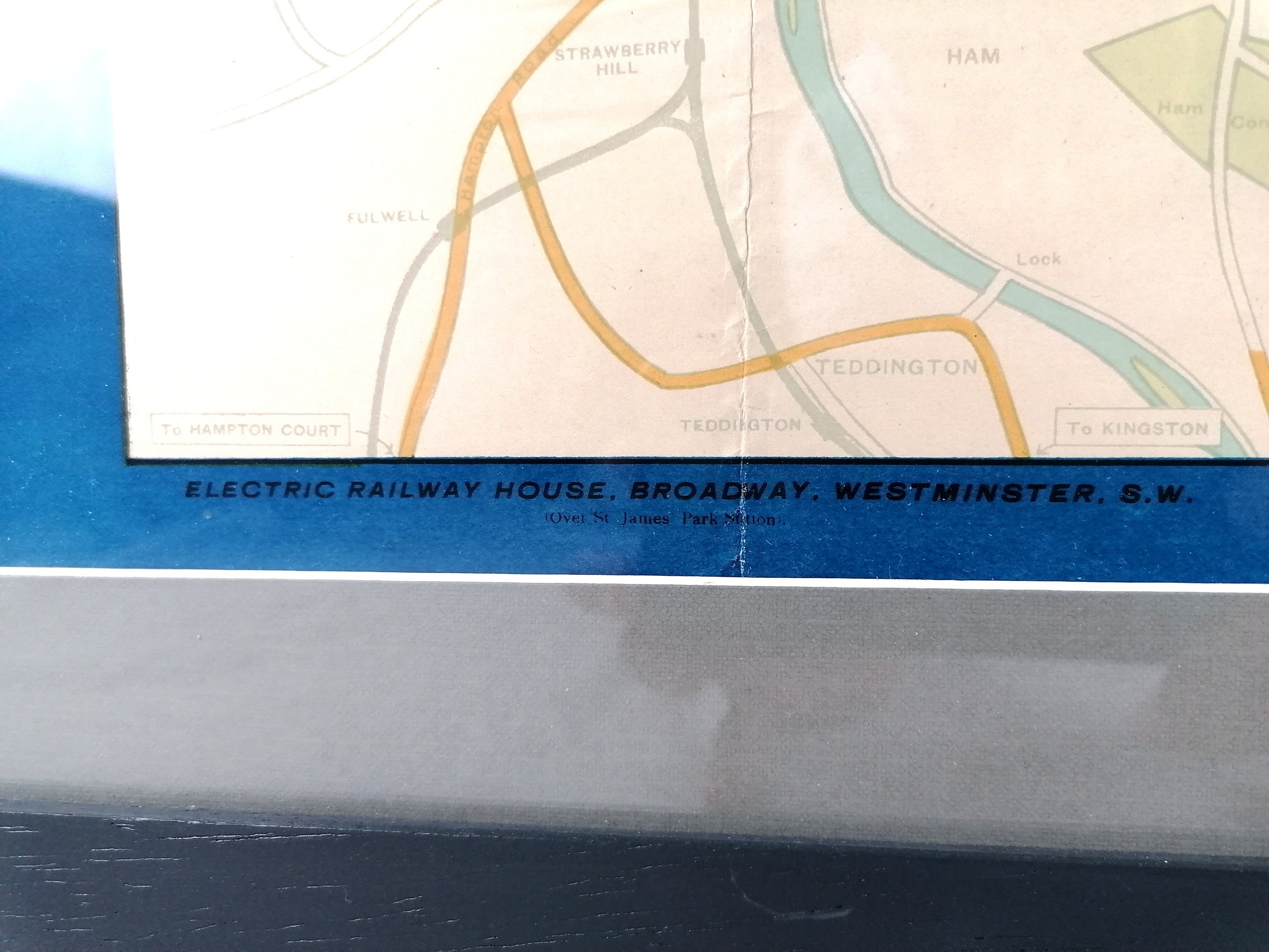
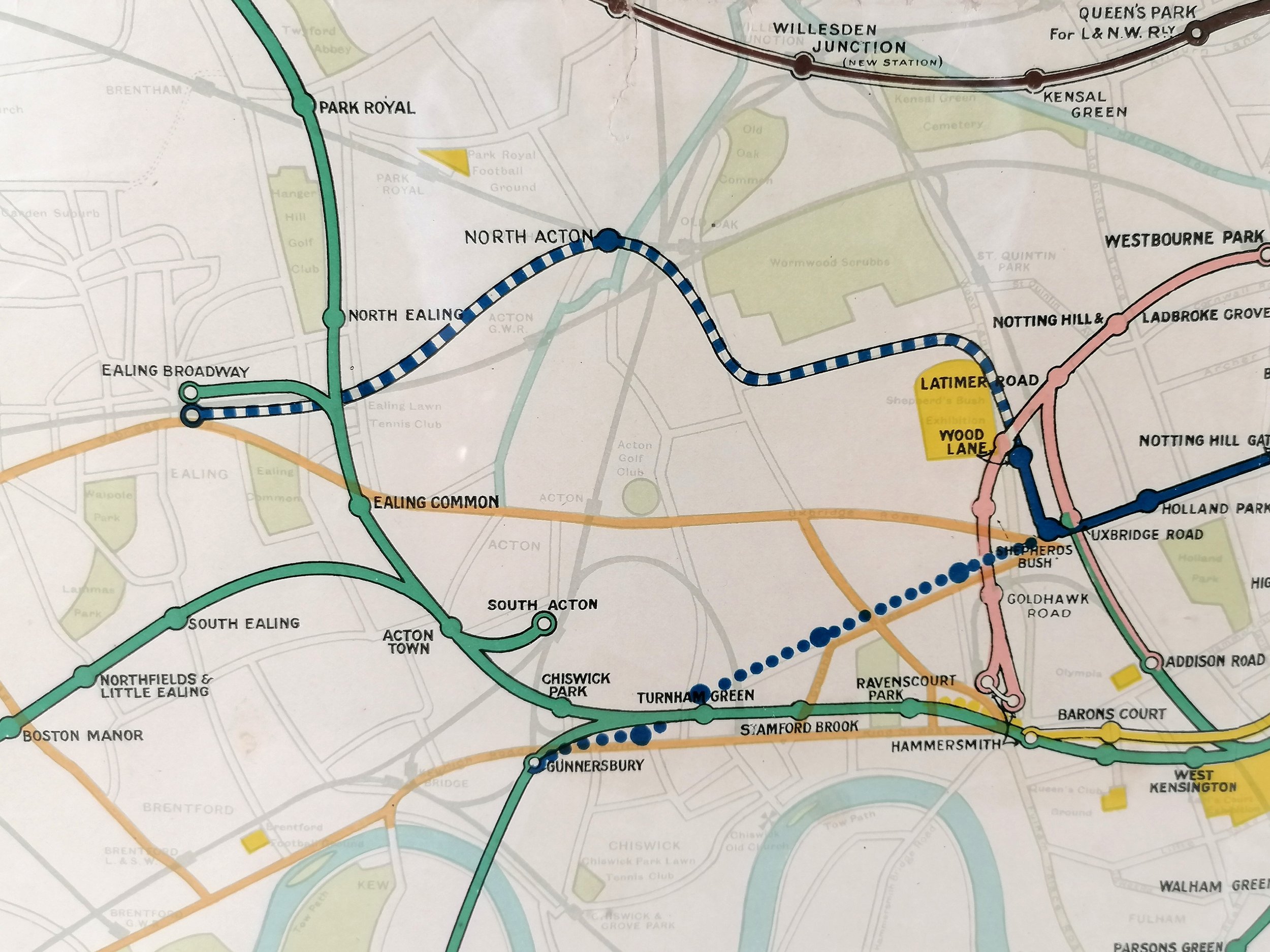
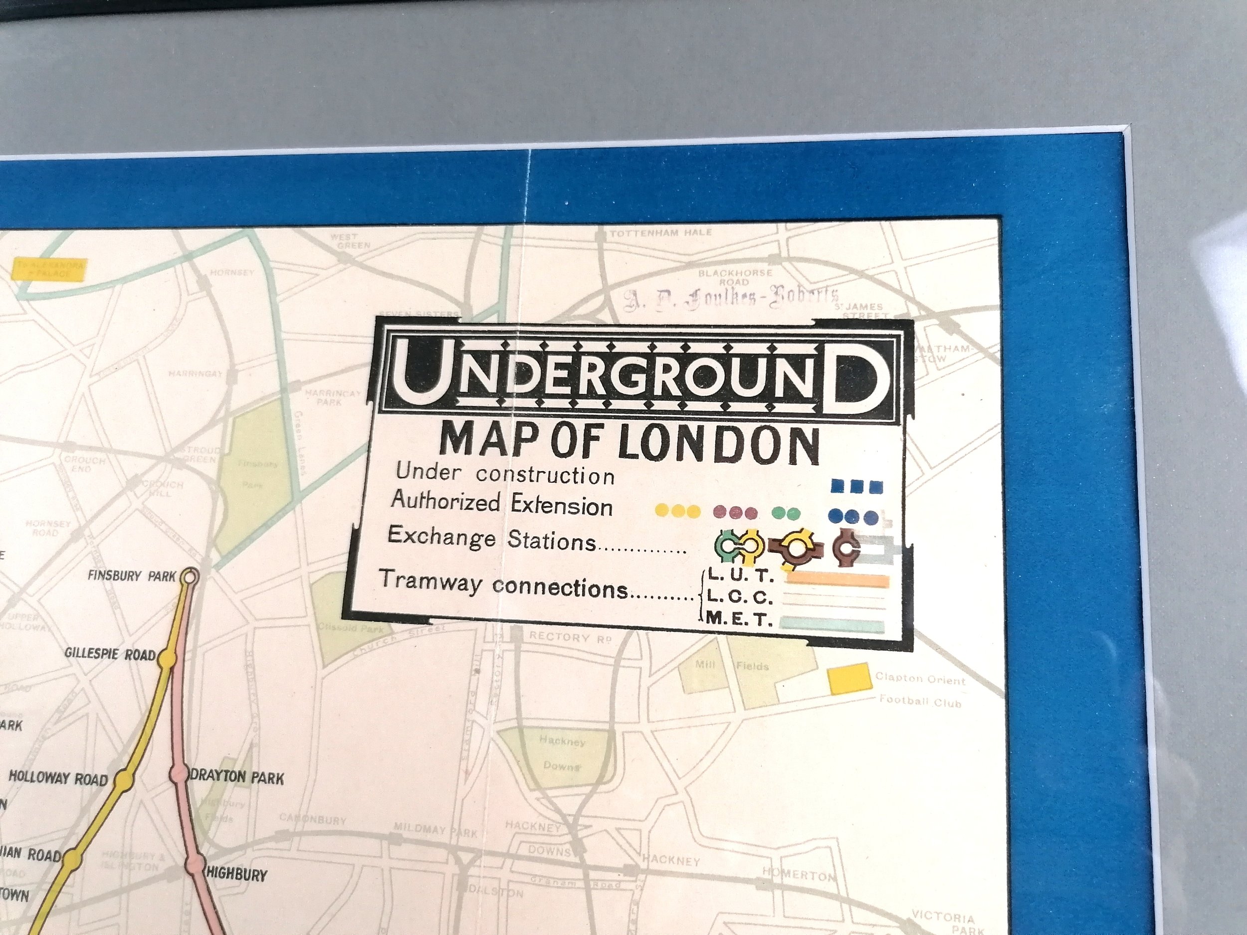
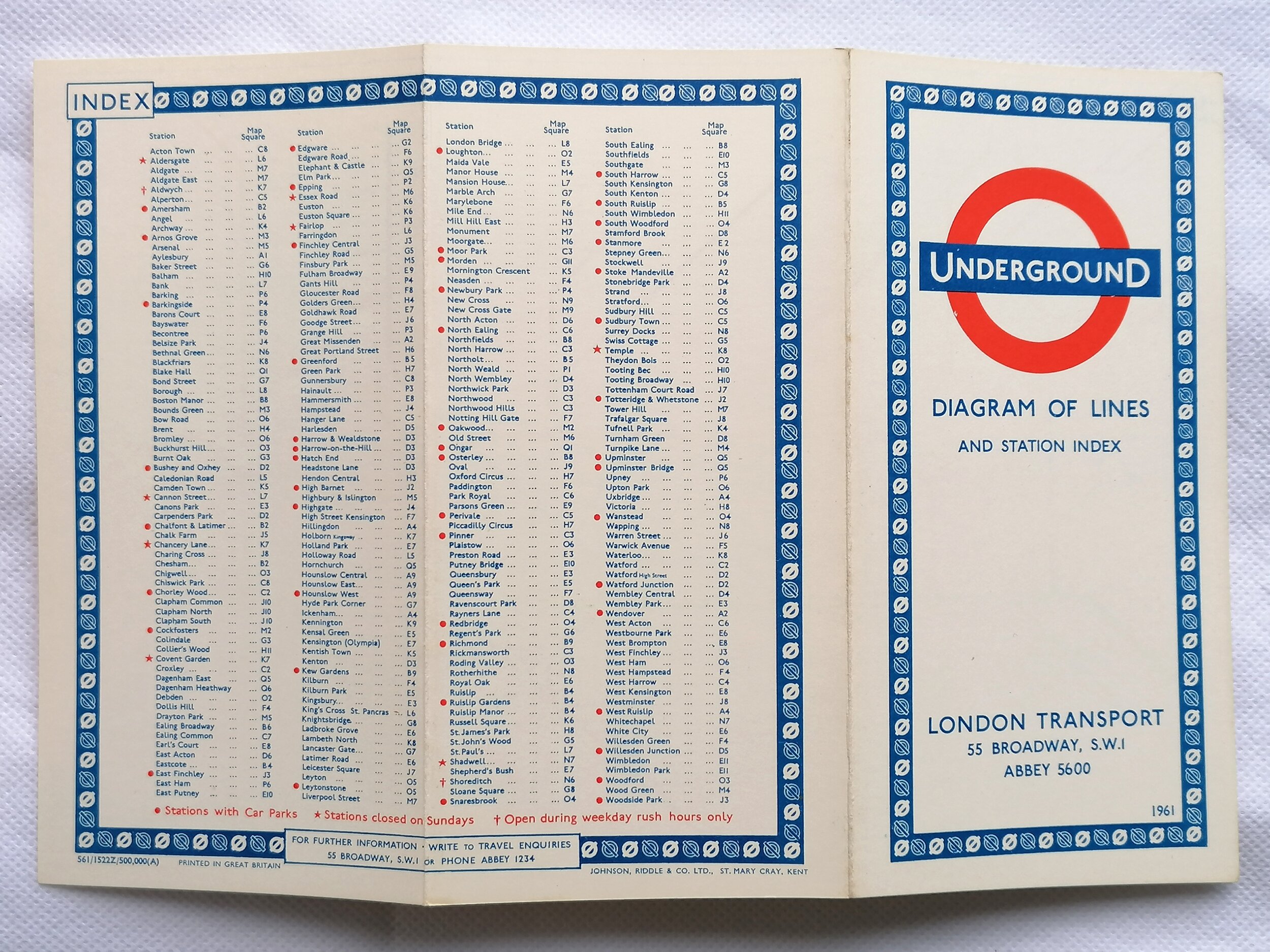
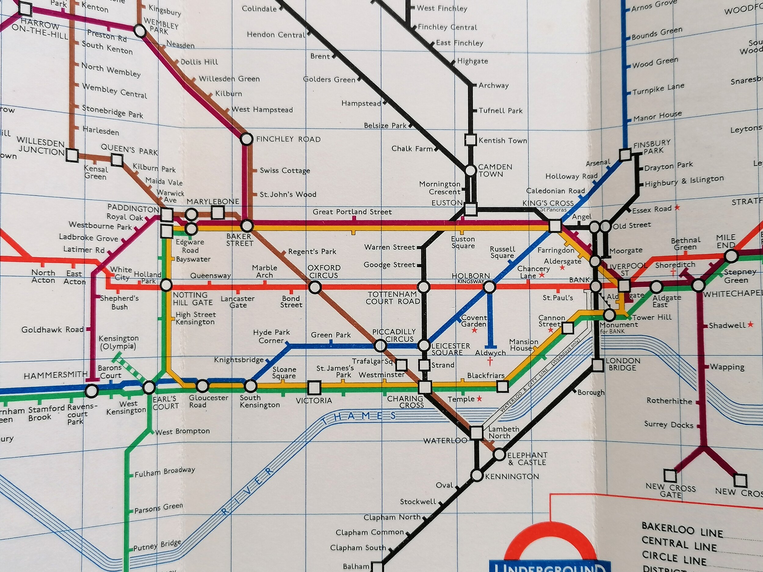
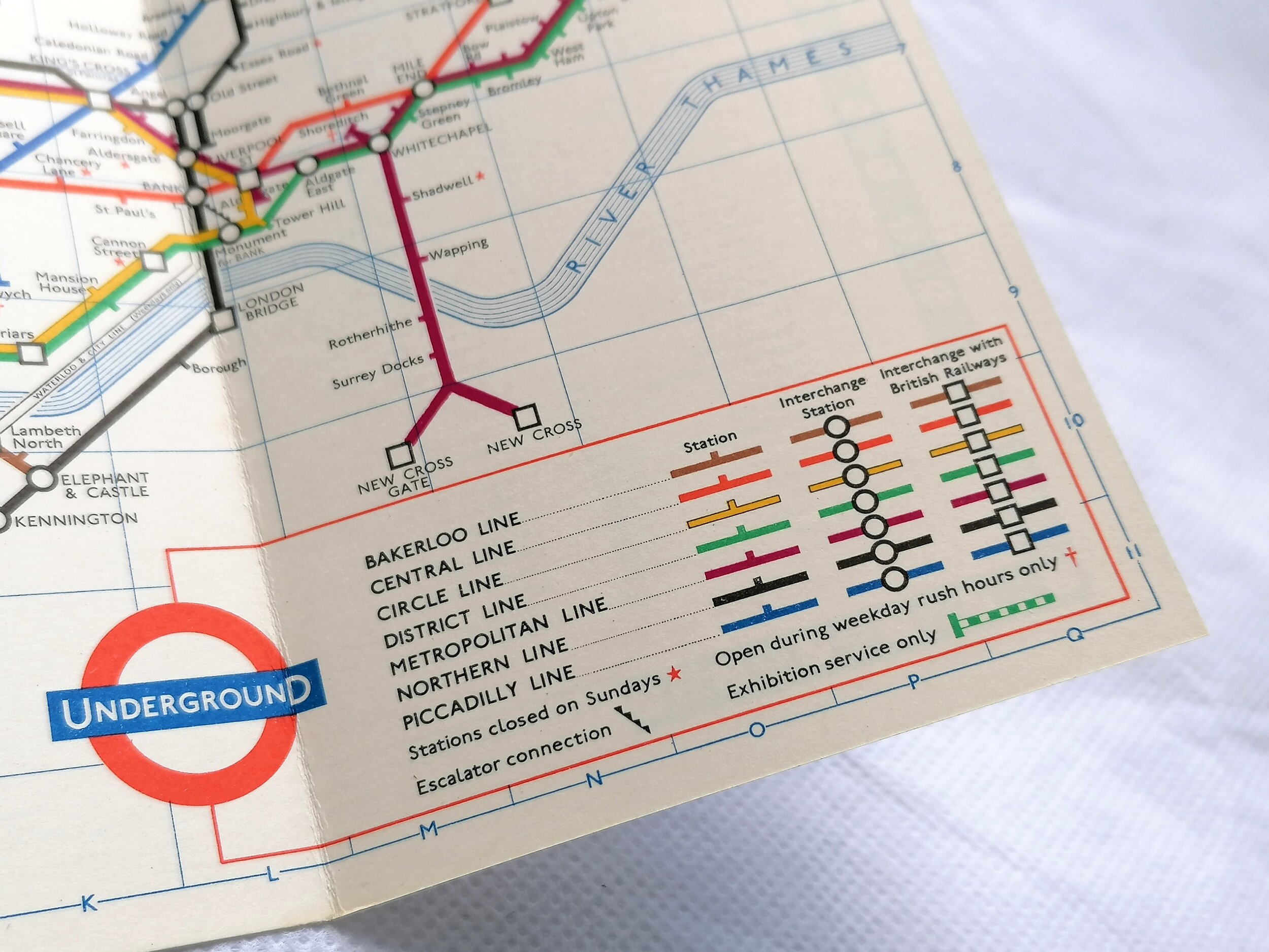
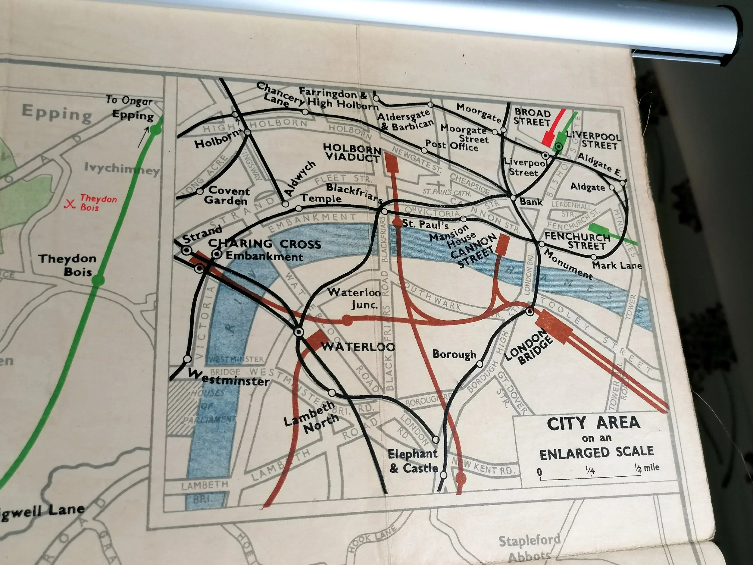
A wonderful map produced at the moment the privately operated London Underground railway companies were moved into public ownership and operated by the LPTB (almost immediately renamed London Transport). It's a stunning example of this early map that attempts to show the whole railway network of London in a single map. The lines are printed over a highly detailed street map which also features parks (green) and water bodies (blue). Despite its size, the designer still had to resort to listing those stations that couldn't be accommodated at the extremities of lines.
Free UK Delivery. For non-UK delivery please request quotation.
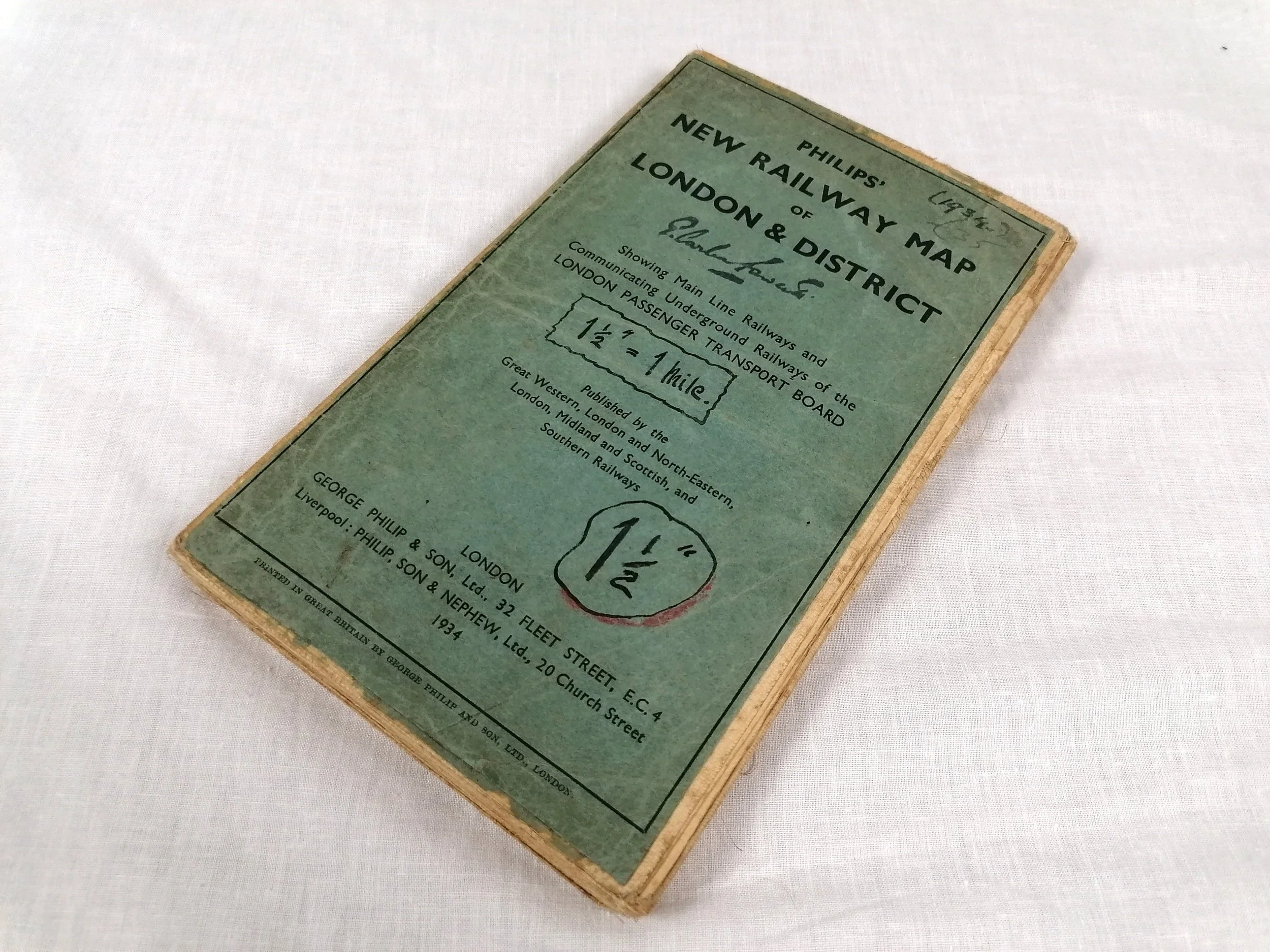
Phillips New Railways Map of London & District - Showing Main Line Railways and Communicating Underground Railways of the LONDON PASSENGER TRANSPORT BOARD.
Printed by George Phillip & Son ltd. Colour lithograph on linen. Dated Aug 1933 at the bottom of the map (1934 on the cover). Measures 127cm x 101cm. Excellent condition. Folded as issued. Just light wear to cover with original owners name in handwritten ink along with scale and year.
A wonderful map produced at the moment the privately operated London Underground railway companies were moved into public ownership and operated by the LPTB (almost immediately renamed London Transport). It's a stunning example of this early map that attempts to show the whole railway network of London in a single map. The lines are printed over a highly detailed street map which also features parks (green) and water bodies (blue). Despite its size, the designer still had to resort to listing those stations that couldn't be accommodated at the extremities of lines.
Free UK Delivery. For non-UK delivery please request quotation.