1936 London Underground Station Map - Double Crown Poster - HC Beck
London Underground Station Map - Double Crown - 1936
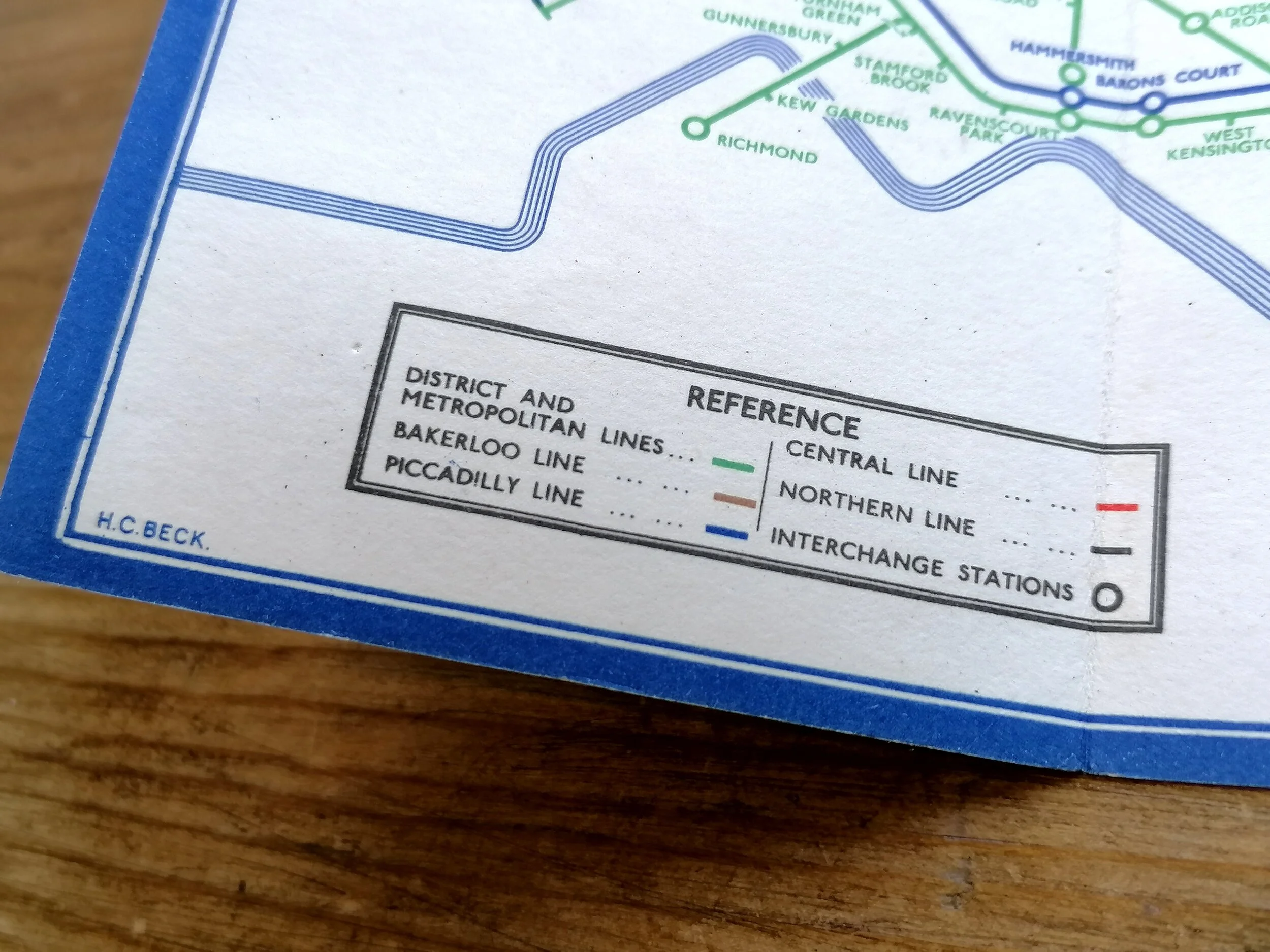
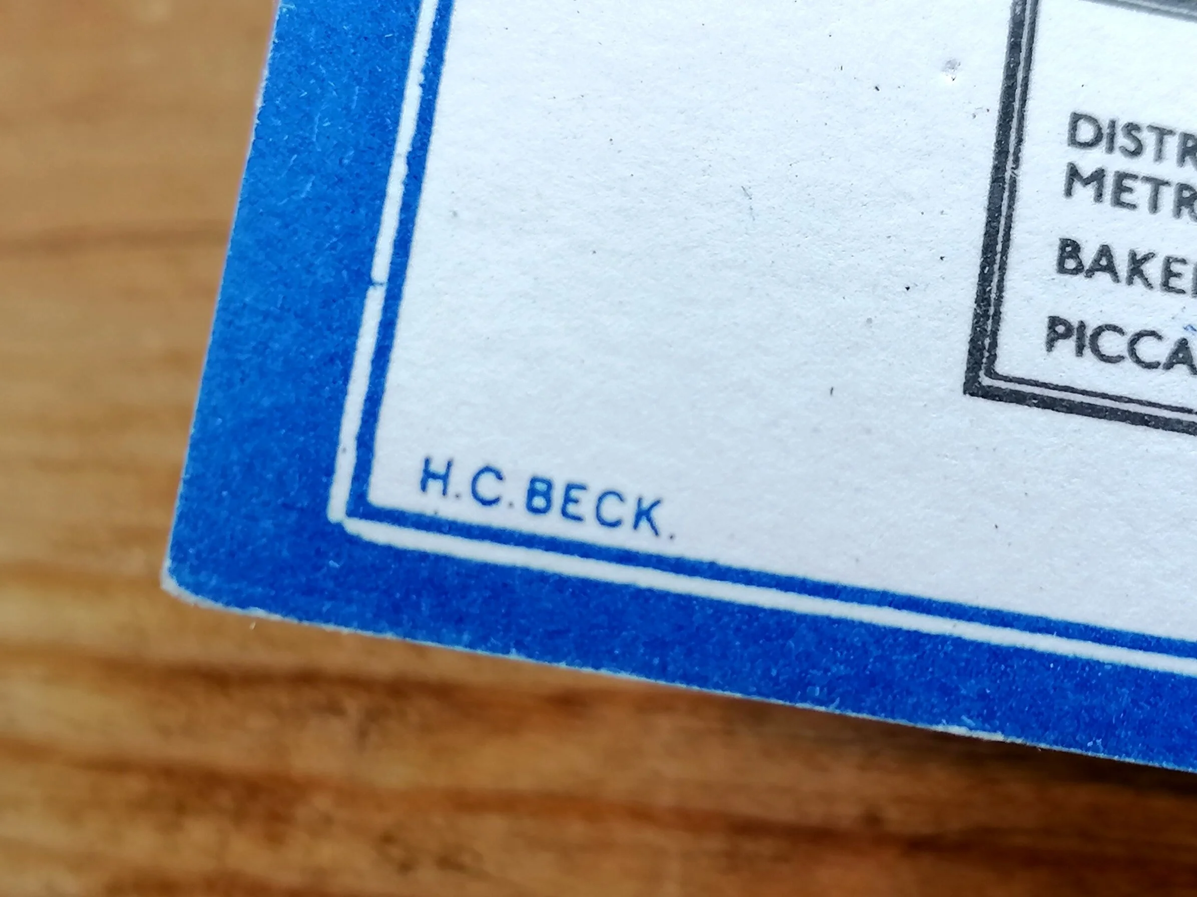
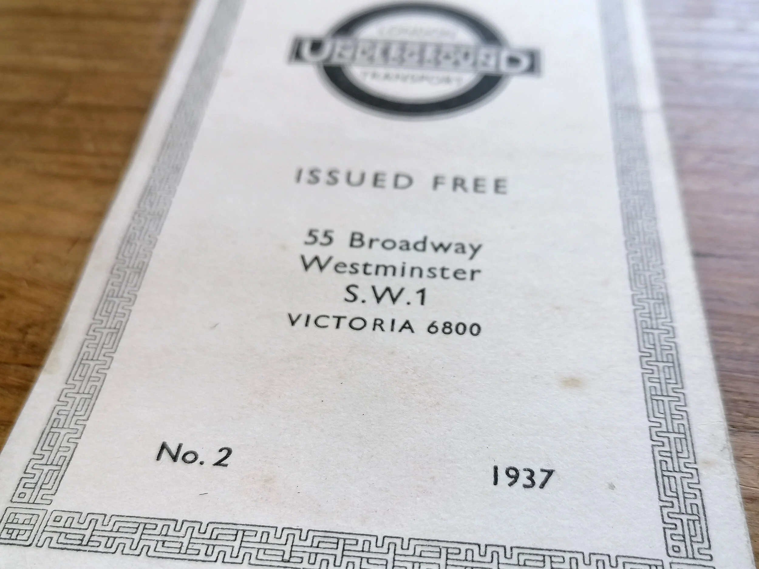
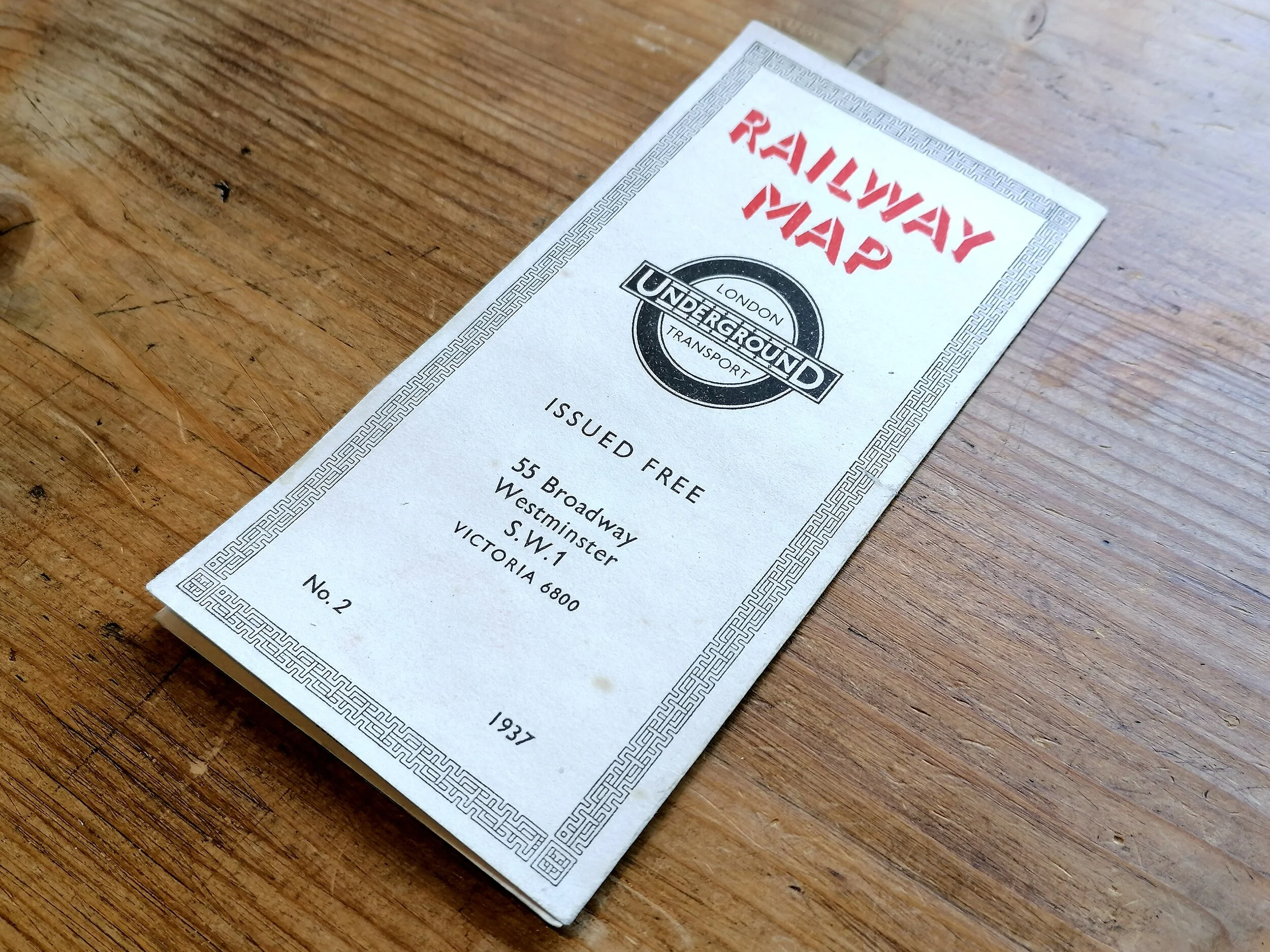
Designed by HC Beck. Printed by Waterlow & Sons for London Transport . Colour Lithograph on paper. Print Code: 36-3488-2000. Map size ‘Double Crown’ 76cm x 61cm (30 x 24 inches). Condition: Excellent. Folded as issued. Some closed tears (5-10mm) along edges. Small water stain along middle vertical fold. Some handwritten note in pencil on the verso.
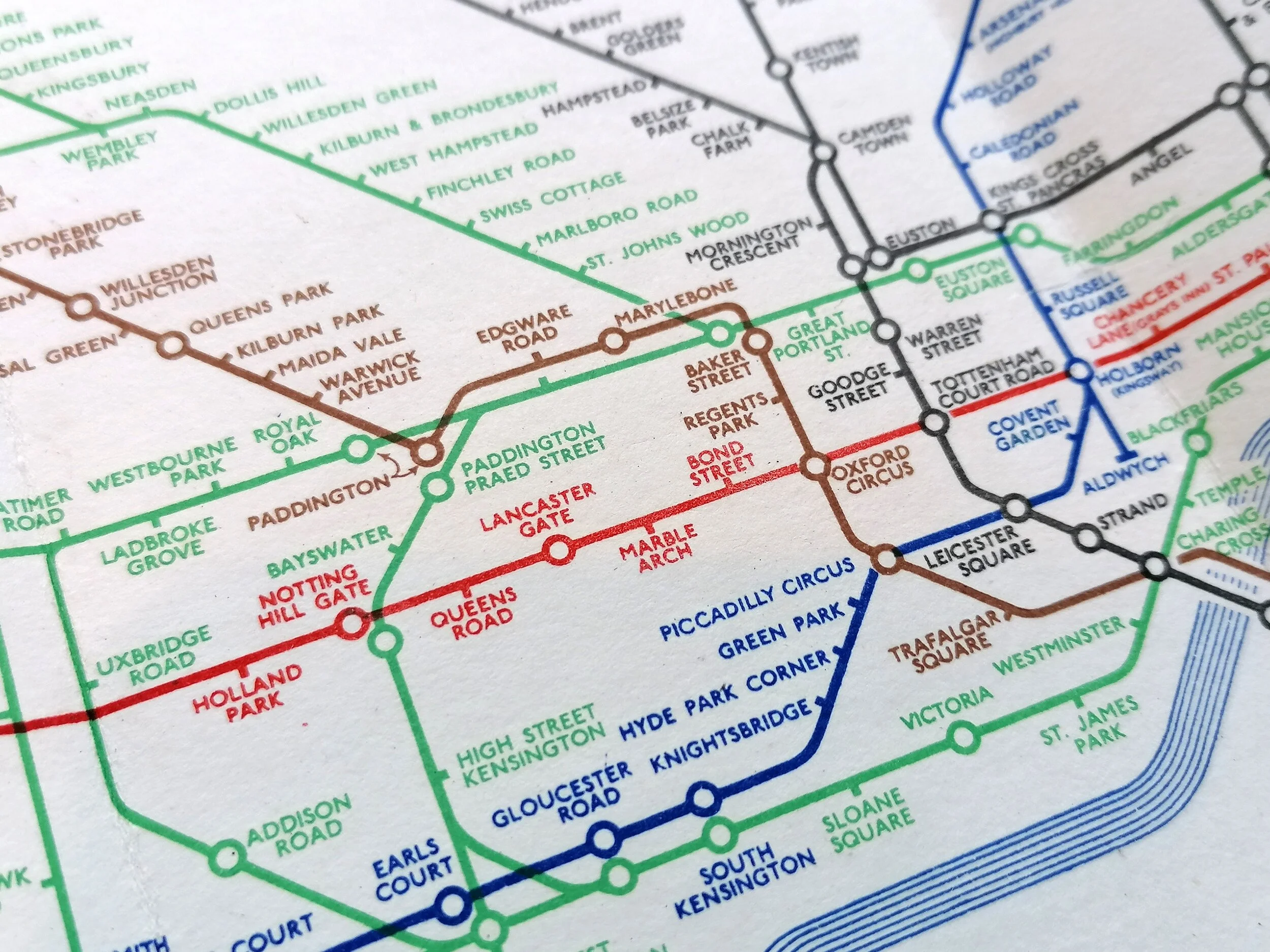
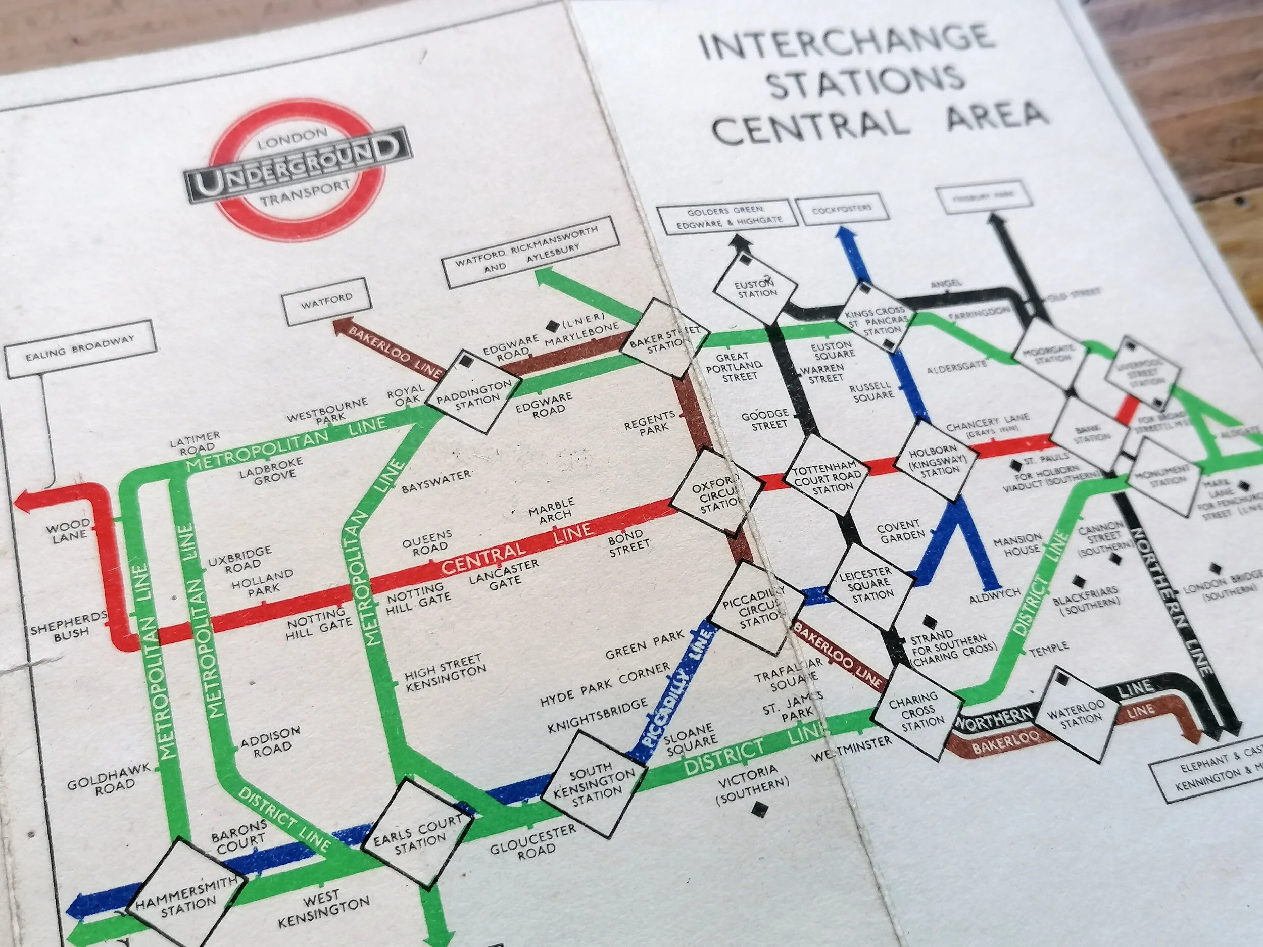
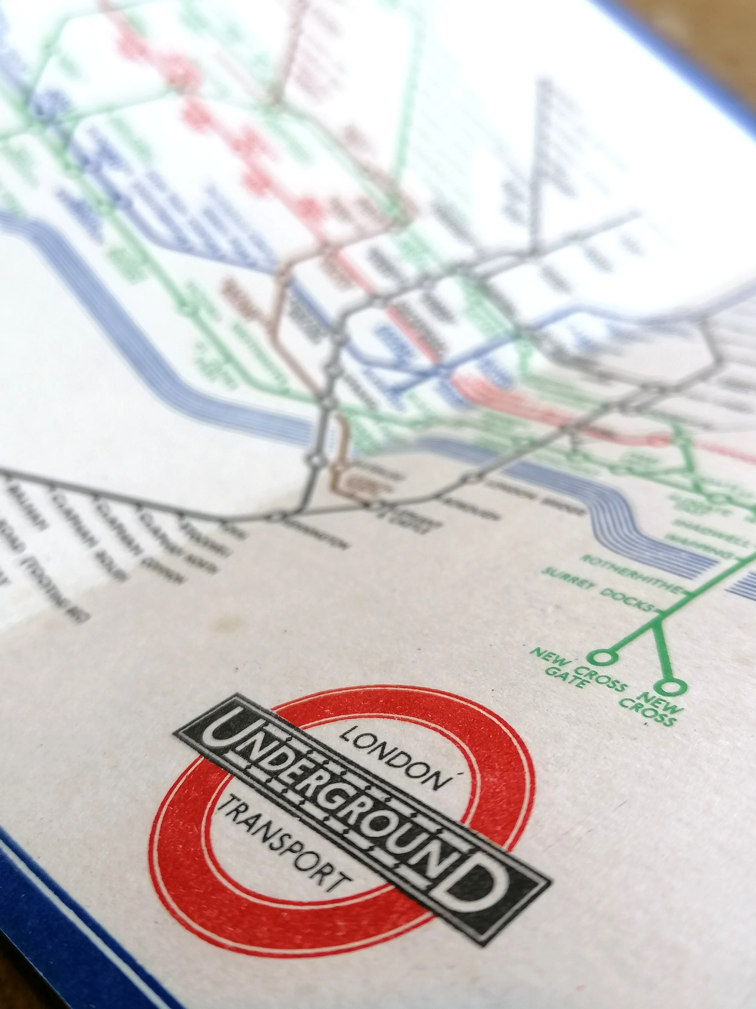
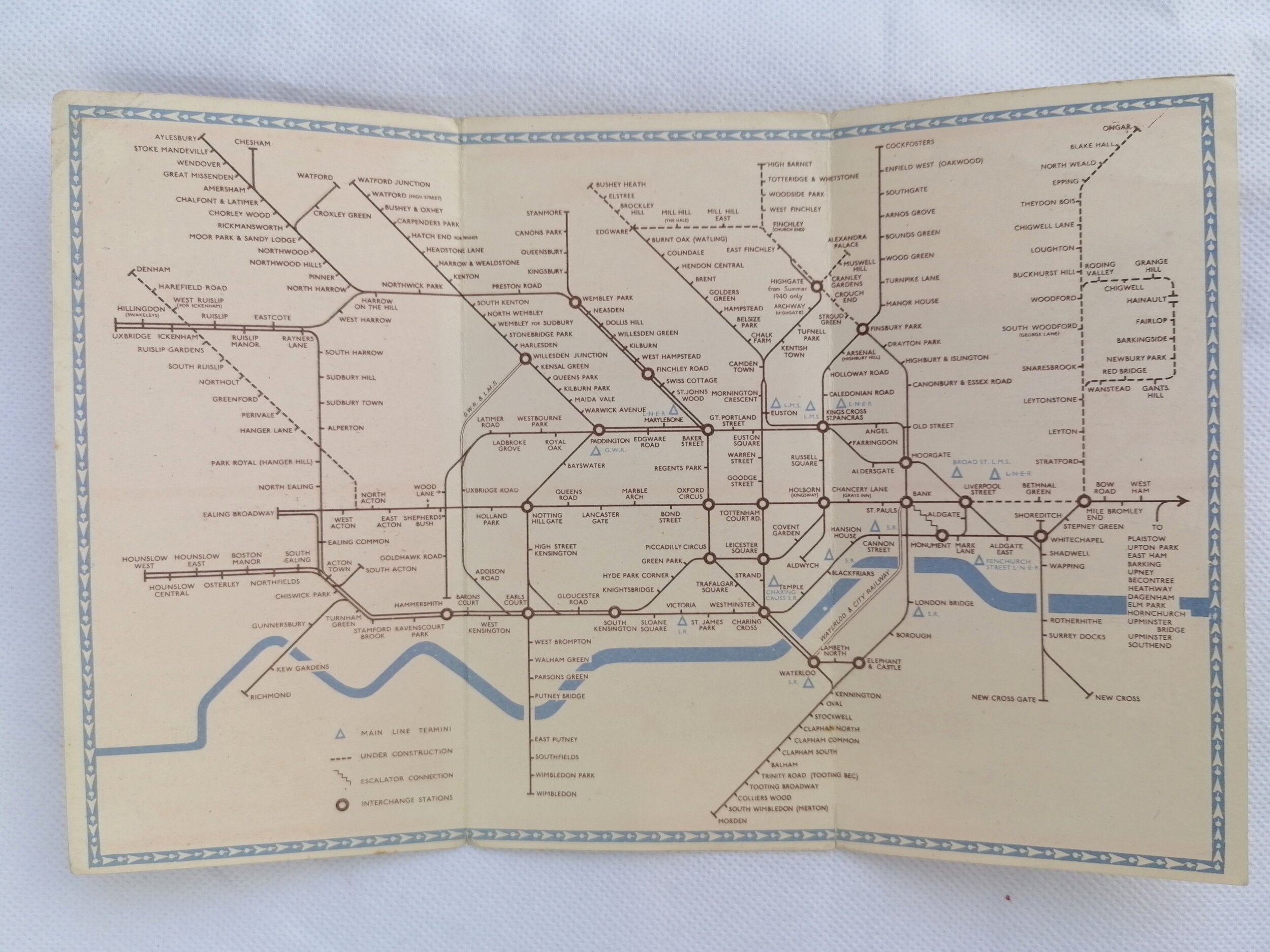
Following the success of Harry Becks revolutionary pocket map, issued in January 1933, Beck was immediately commissioned to redraw the diagram in poster format, first in Quad Royal size (127cm x 101cm) published in July 1933 and then ‘Double Crown’ format (76cm x 61cm) published in August 1933. The Double Crown map saw some minor redesigns between 1933-1935 but as we see with this 1936 issue, the map has undergone a radical change to the central area. The changes, most notably widening of the lines within the central area and introduction of large diamonds for mainline interchanges, were requests from the LT Executives that Beck reluctantly incorporated.
Beck would see to it that these design features were dialled back to something more harmonious with the rest of the map. In 1937, the lines were a uniform thickness, albeit thick enough to carry the line name within it.
The print code indicates that this map is one of 2000 printed by Waterlow & Sons, therefore fewer than 10 were issued to each station. The speed at which the network (and in turn, the map) was changing meant that these maps were regularly ripped down or pasted over by a new iteration. Therefore survivors are exceptionally rare and it is believed there are just a handful of these maps still in existence.
FREE UK DELIVERY. Non-UK Delivery available, please request a quotation
London Underground Station Map - Double Crown - 1936
Designed by HC Beck. Printed by Waterlow & Sons for London Transport . Colour Lithograph on paper. Print Code: 36-3488-2000. Map size ‘Double Crown’ 76cm x 61cm (30 x 24 inches). Condition: Excellent. Folded as issued. Some closed tears (5-10mm) along edges. Small water stain along middle vertical fold. Some handwritten note in pencil on the verso.
Following the success of Harry Becks revolutionary pocket map, issued in January 1933, Beck was immediately commissioned to redraw the diagram in poster format, first in Quad Royal size (127cm x 101cm) published in July 1933 and then ‘Double Crown’ format (76cm x 61cm) published in August 1933. The Double Crown map saw some minor redesigns between 1933-1935 but as we see with this 1936 issue, the map has undergone a radical change to the central area. The changes, most notably widening of the lines within the central area and introduction of large diamonds for mainline interchanges, were requests from the LT Executives that Beck reluctantly incorporated.
Beck would see to it that these design features were dialled back to something more harmonious with the rest of the map. In 1937, the lines were a uniform thickness, albeit thick enough to carry the line name within it.
The print code indicates that this map is one of 2000 printed by Waterlow & Sons, therefore fewer than 10 were issued to each station. The speed at which the network (and in turn, the map) was changing meant that these maps were regularly ripped down or pasted over by a new iteration. Therefore survivors are exceptionally rare and it is believed there are just a handful of these maps still in existence.
FREE UK DELIVERY. Non-UK Delivery available, please request a quotation