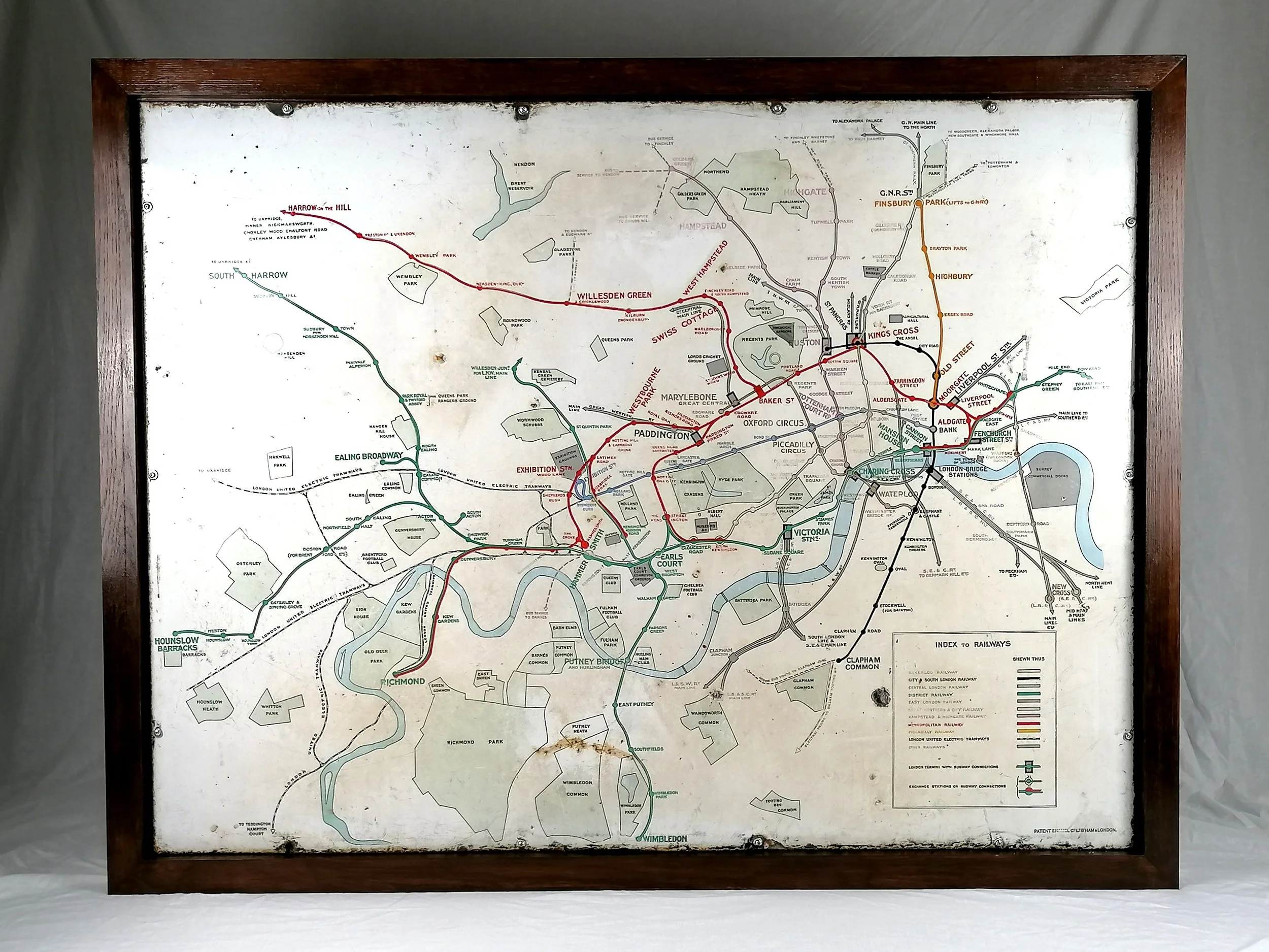


1910 London Underground Enamel Station Map in Oak Frame
c.1910 London Underground Station Map
This Map is currently on display at Bryars & Bryars, 7 Cecil Court, London WC2N 4EZ
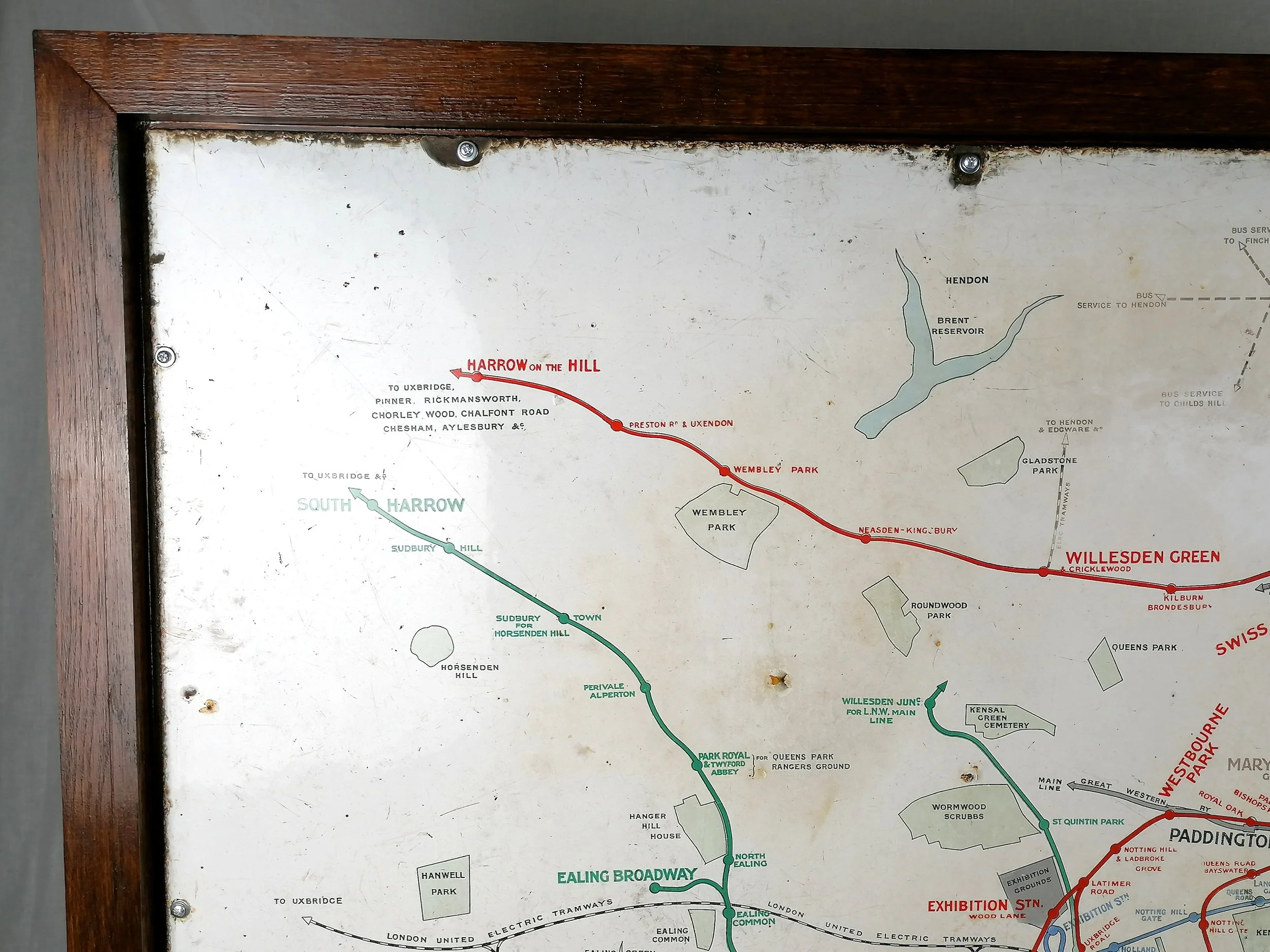
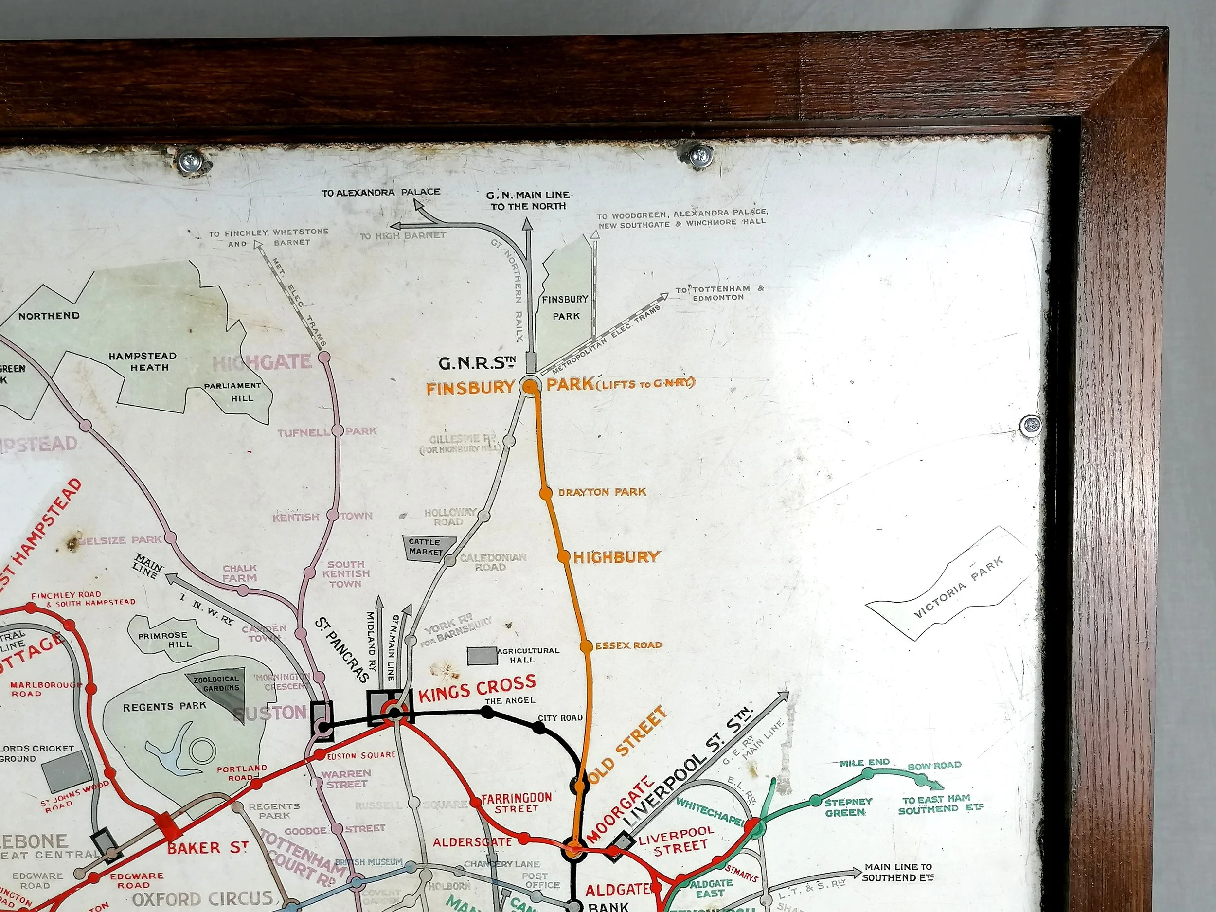
Vitreous enamel and rolled iron. Produced by Patent Enamel Co Ltd Birmingham and London. For Underground Electric Railways of London. Circa 1910. Size: Enamel Map 127 x 97cm / Framed 137cm x 106 x 5cm. Weight 36kg. New custom frame constructed with solid oak set on a Malaysian redwood plywood base. Excellent in-situ condition. Some minor loss and rust at edges. Very possibly the best example of this map in the world.
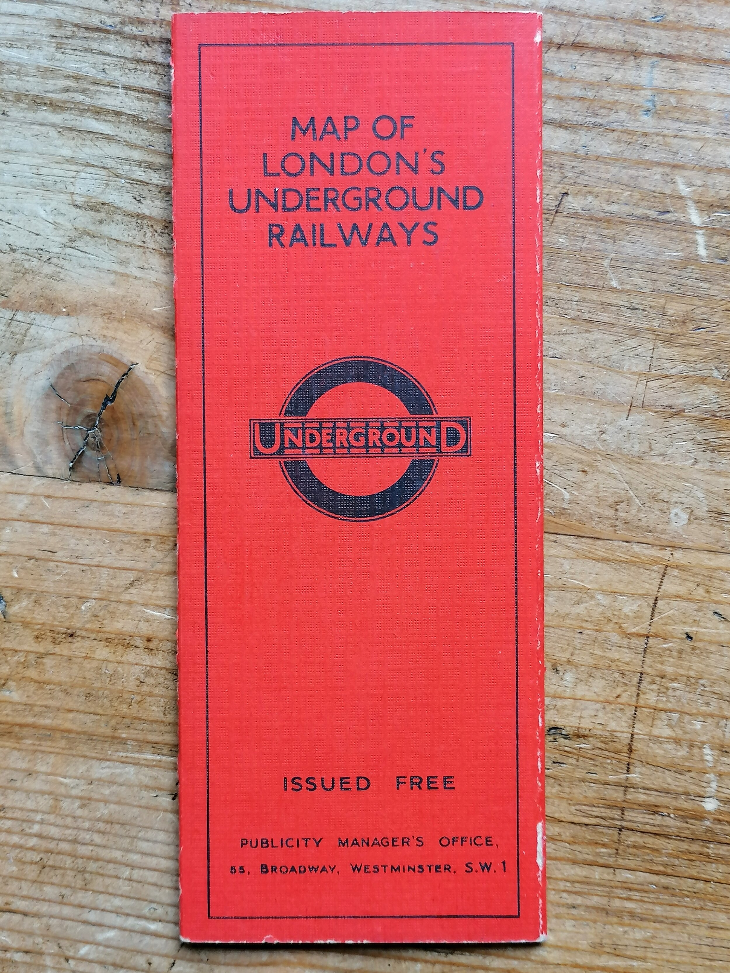
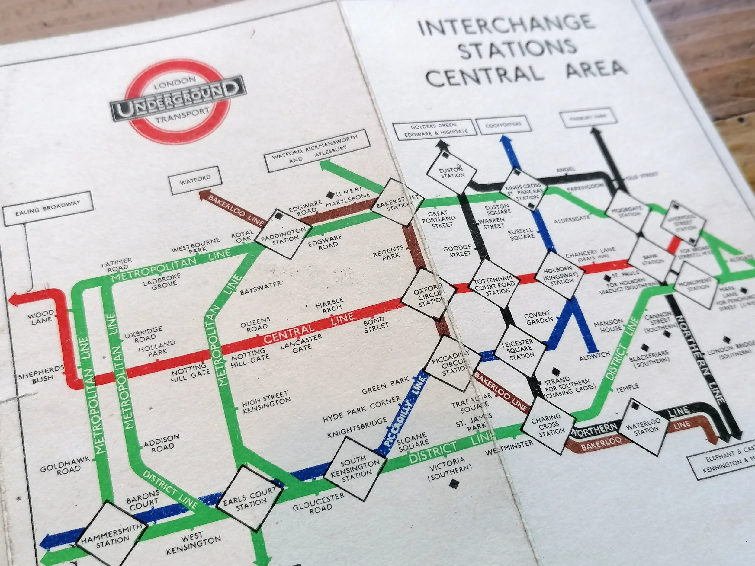
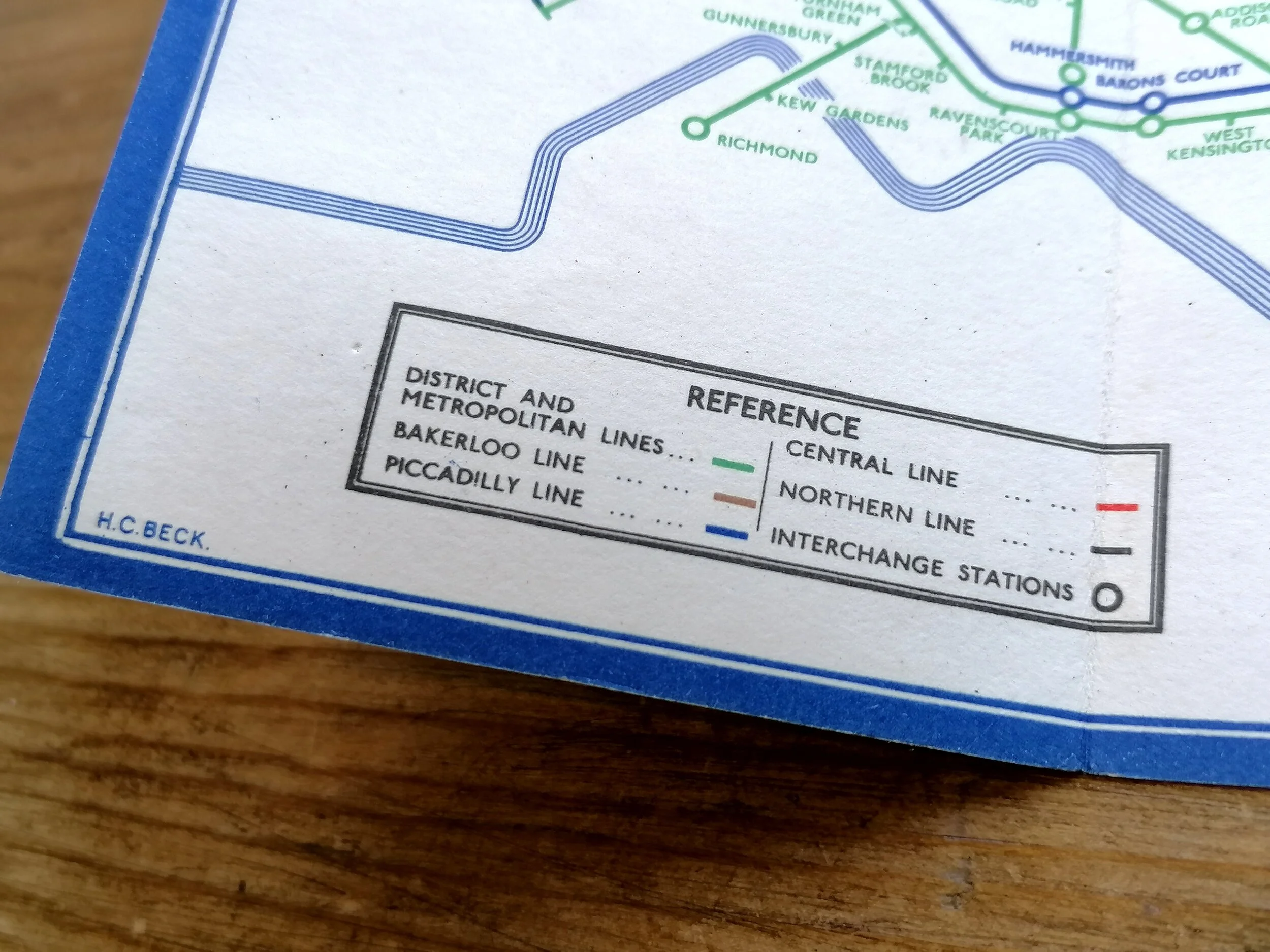
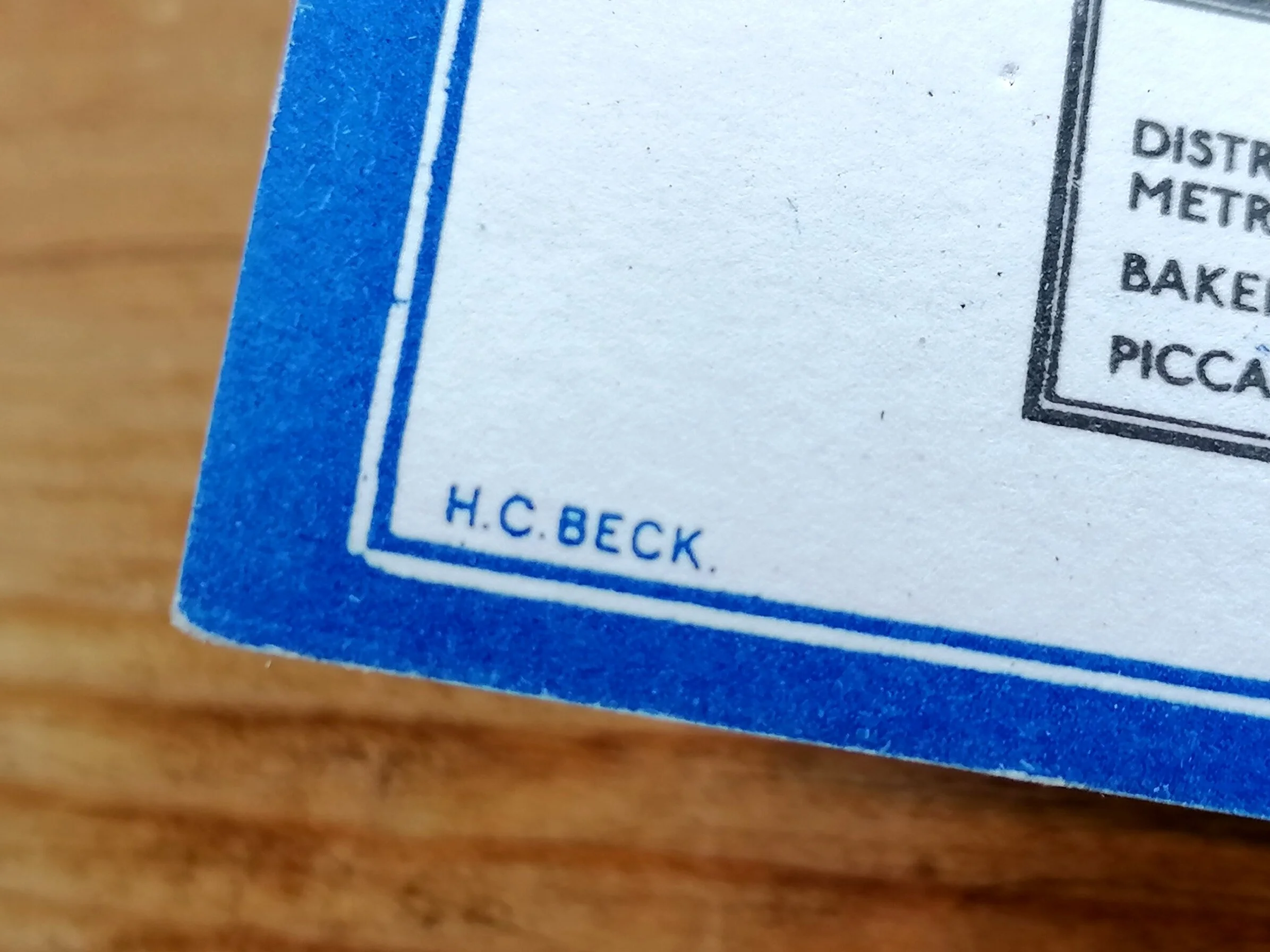
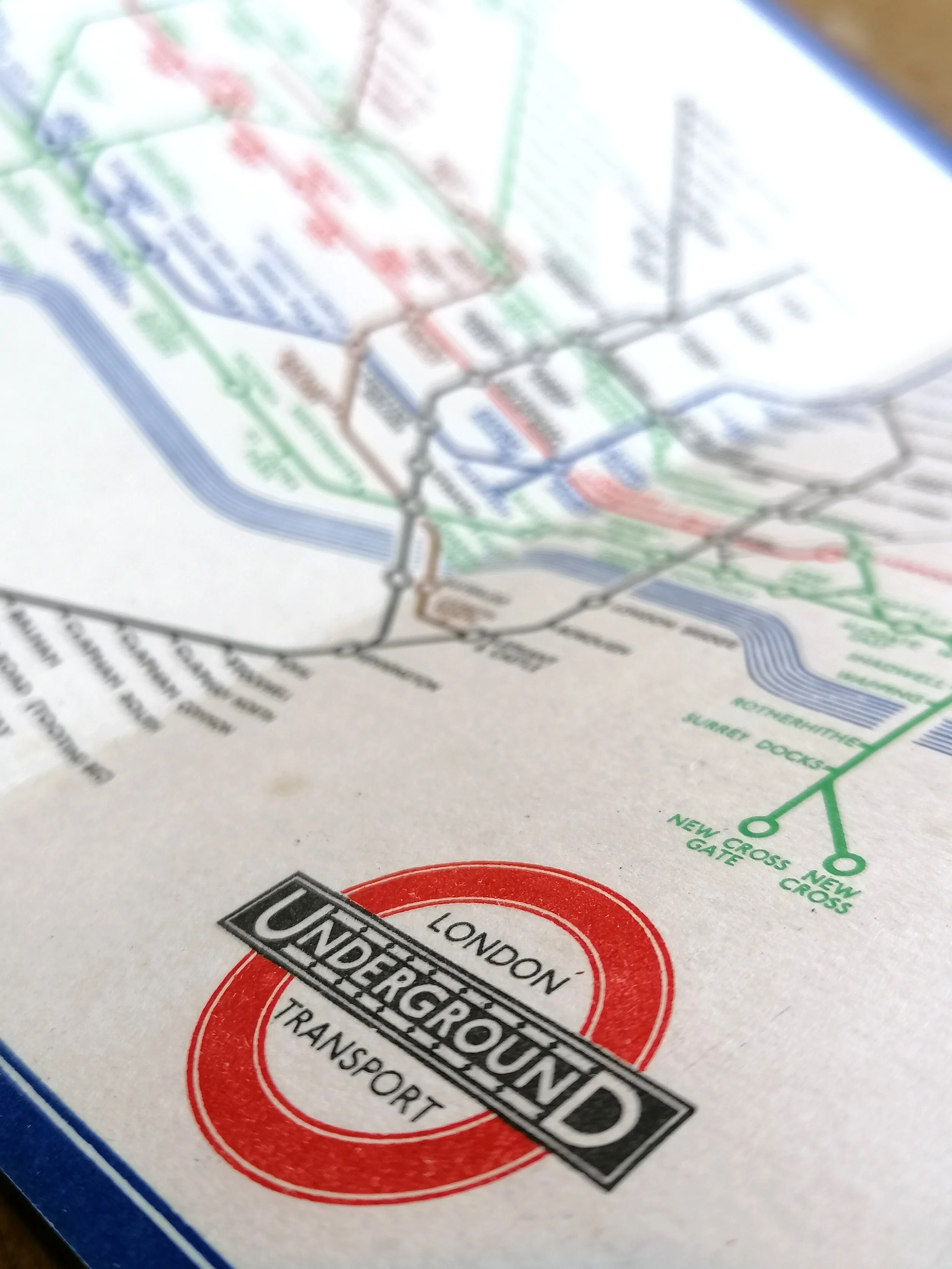
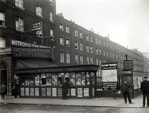
This spectacular map of the London Underground was displayed at a station entrance from 1910. These were the first station maps to show the various Underground railway lines on a single map, (each line with allocated a colour) and mounted in branded metal frames with an early “UndergrounD” wordmark beneath a silhouette of the London skyline.(see photos).
Following an agreement in 1908 to unify the various Underground railway companies under a single “UndergrounD” brand , a major overhaul of station signage, posters, maps etc. took place and these huge enamel maps played a critical role in presenting a single, simple and integrated network.
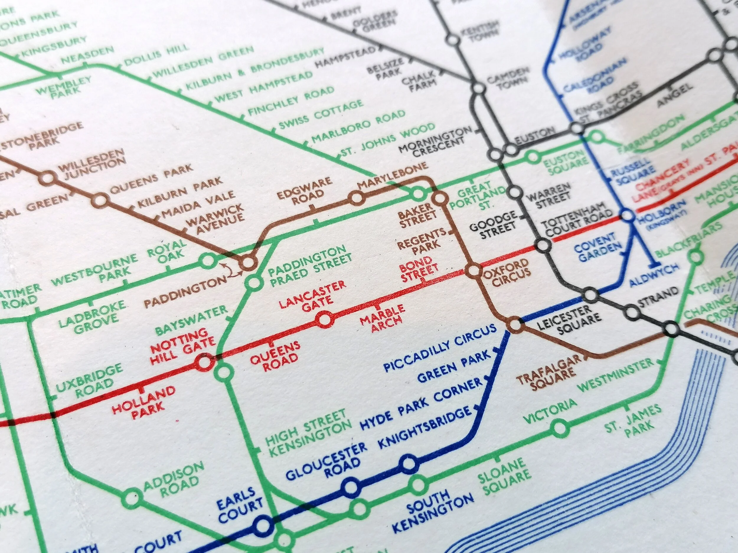
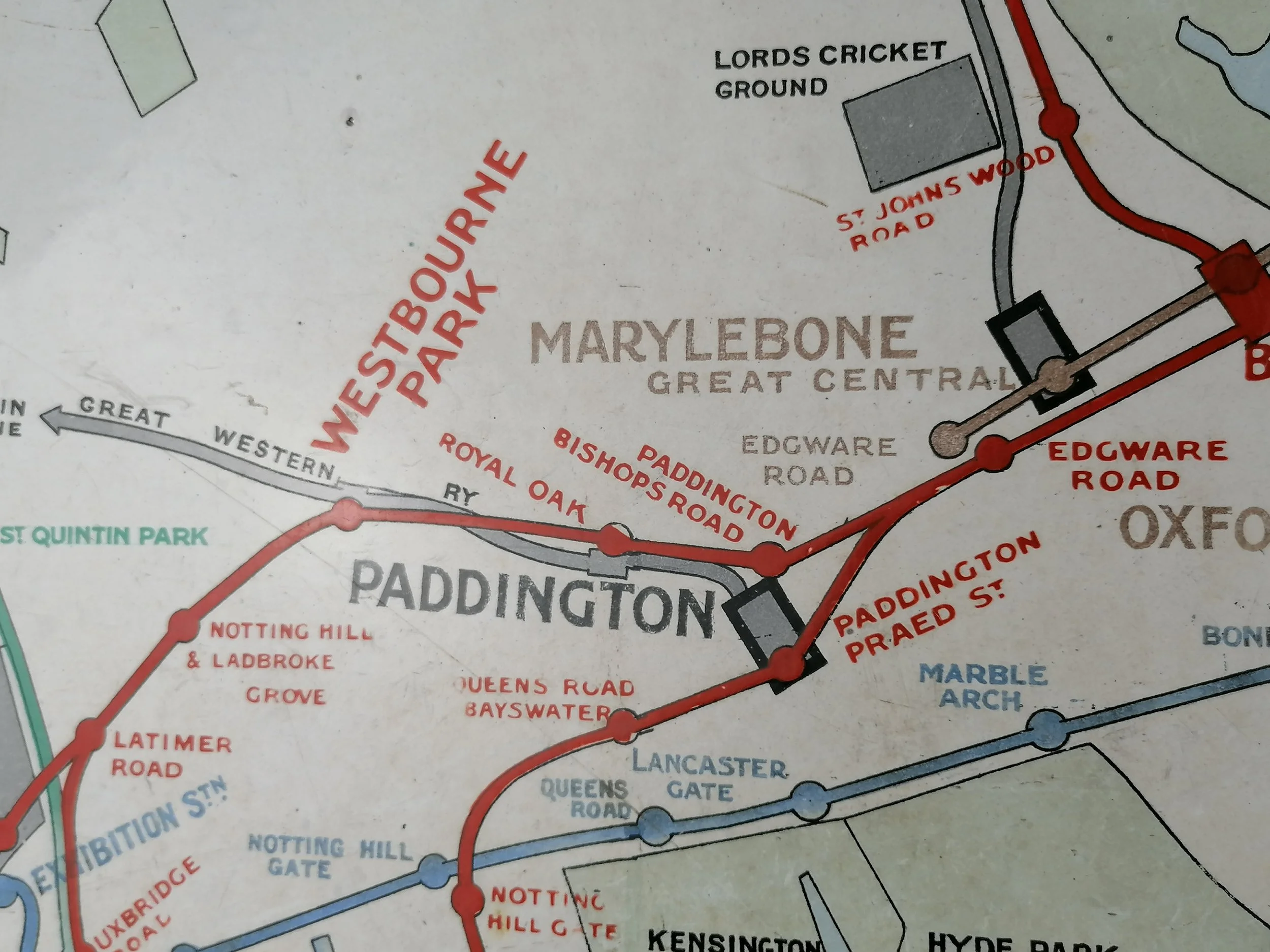
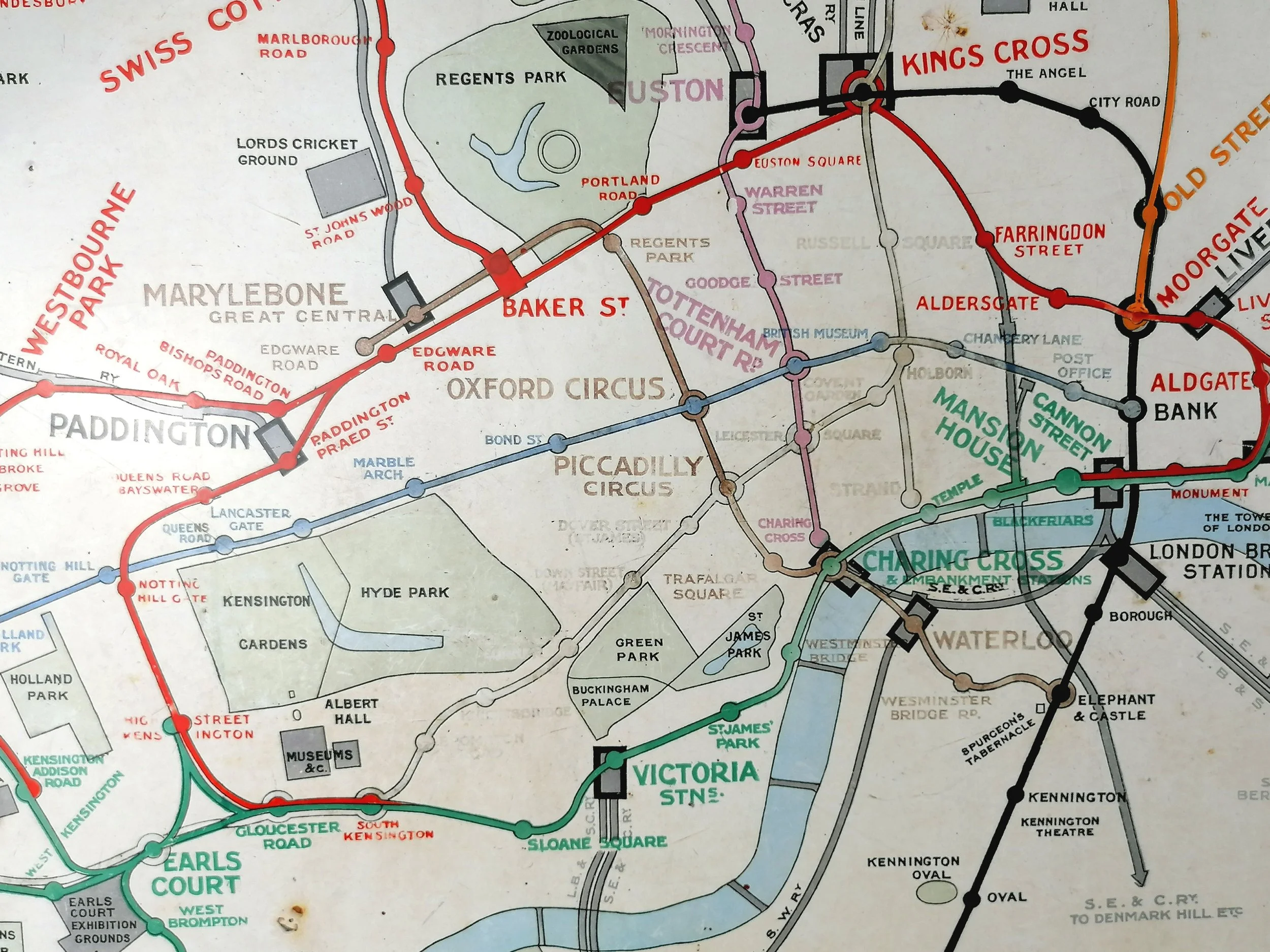
This map was produced at a time that saw huge growth in leisure travel. Designed with this audience in mind, it show exhibition grounds, parks, football grounds, museums and other sights but has very little background detail.
The introduction of these maps were promoted by a superb poster designed by John Hassell, showing a Policeman directing two “out-of-towners” to the map with the tag line “No Need to Ask a P’liceman”. Indeed, it must have been a great relief for station staff (and Police) to have empowered passengers with the ability to decipher the network themselves!
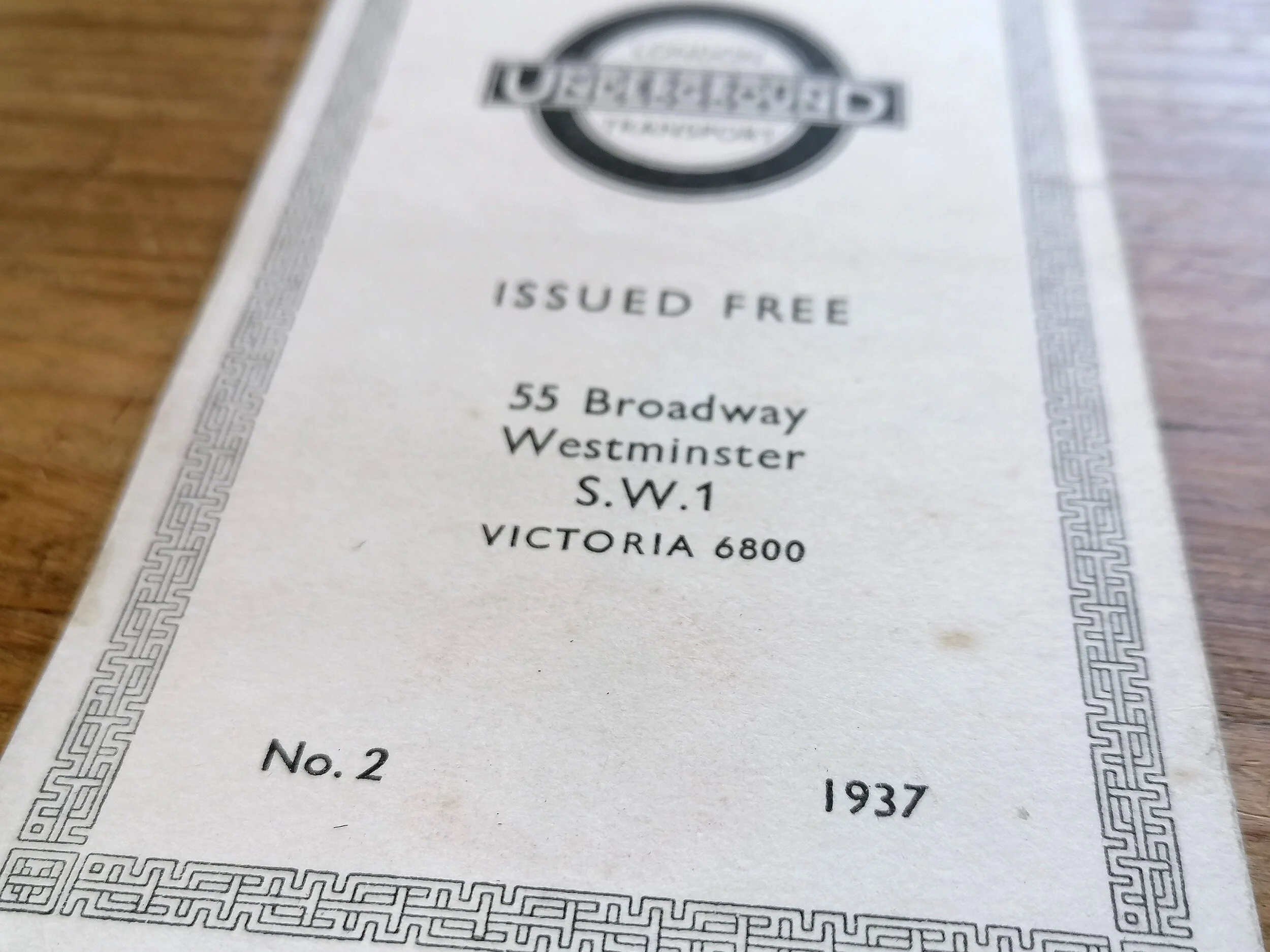
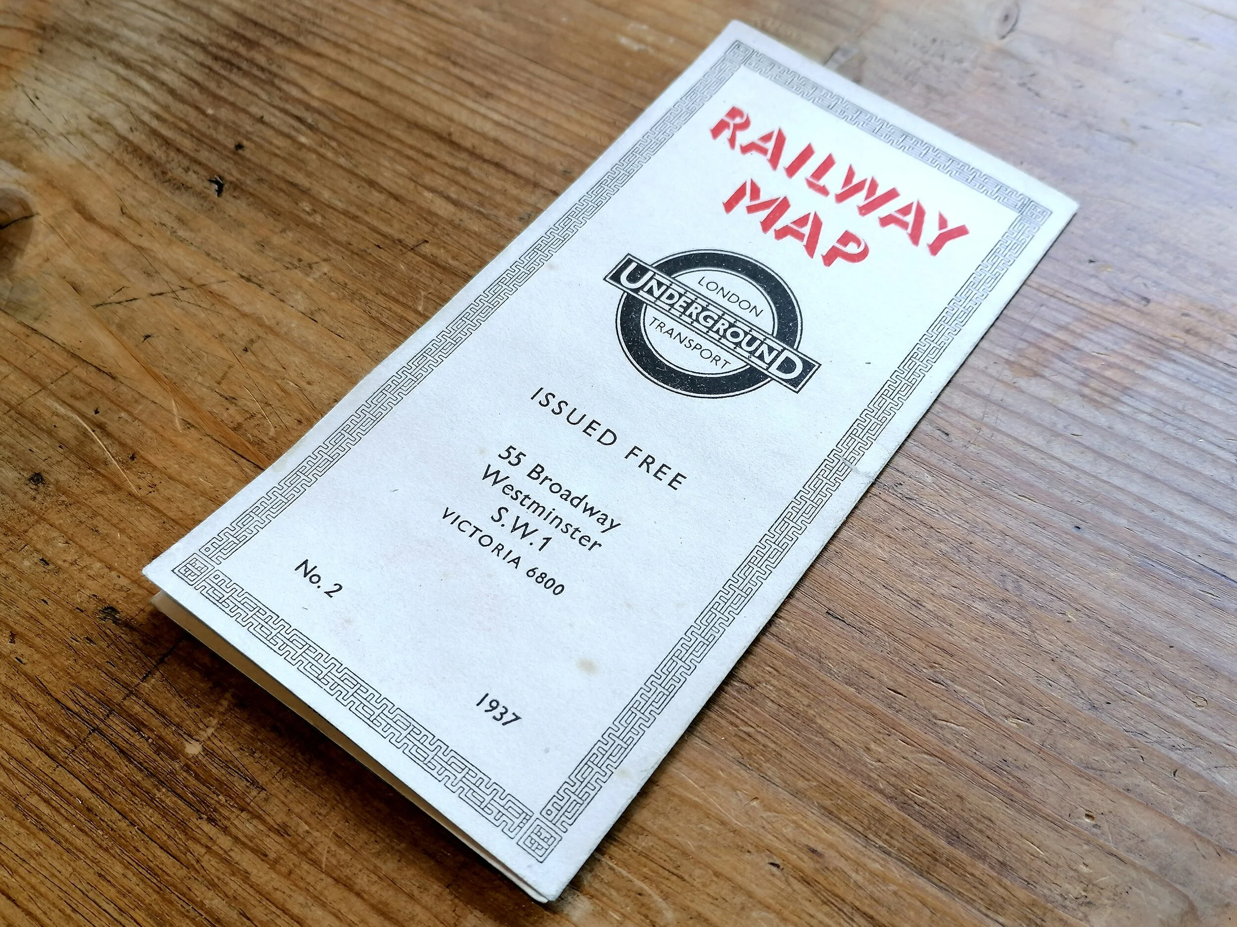
This map can be dated to late 1910 to early 1911. Aldersgate station is shown, which was Aldersgate Street until it was renamed in November 1910. However, Northfield Halt and Boston Road (District Railway) are shown on the map, these were renamed “Northfield & Little Ealing” and “Boston Manor” in late 1911.
These maps are exceptionally rare with few known survivors, one of which can be found at the London Transport Museum.
FREE UK DELIVERY. Non-UK Delivery available, please request a quotation
c.1910 London Underground Station Map
This Map is currently on display at Bryars & Bryars, 7 Cecil Court, London WC2N 4EZ
Vitreous enamel and rolled iron. Produced by Patent Enamel Co Ltd Birmingham and London. For Underground Electric Railways of London. Circa 1910. Size: Enamel Map 127 x 97cm / Framed 137cm x 106 x 5cm. Weight 36kg. New custom frame constructed with solid oak set on a Malaysian redwood plywood base. Excellent in-situ condition. Some minor loss and rust at edges. Very possibly the best example of this map in the world.
This spectacular map of the London Underground was displayed at a station entrance from 1910. These were the first station maps to show the various Underground railway lines on a single map, (each line with allocated a colour) and mounted in branded metal frames with an early “UndergrounD” wordmark beneath a silhouette of the London skyline.(see photos).
Following an agreement in 1908 to unify the various Underground railway companies under a single “UndergrounD” brand , a major overhaul of station signage, posters, maps etc. took place and these huge enamel maps played a critical role in presenting a single, simple and integrated network.
This map was produced at a time that saw huge growth in leisure travel. Designed with this audience in mind, it show exhibition grounds, parks, football grounds, museums and other sights but has very little background detail.
The introduction of these maps were promoted by a superb poster designed by John Hassell, showing a Policeman directing two “out-of-towners” to the map with the tag line “No Need to Ask a P’liceman”. Indeed, it must have been a great relief for station staff (and Police) to have empowered passengers with the ability to decipher the network themselves!
This map can be dated to late 1910 to early 1911. Aldersgate station is shown, which was Aldersgate Street until it was renamed in November 1910. However, Northfield Halt and Boston Road (District Railway) are shown on the map, these were renamed “Northfield & Little Ealing” and “Boston Manor” in late 1911.
These maps are exceptionally rare with few known survivors, one of which can be found at the London Transport Museum.
FREE UK DELIVERY. Non-UK Delivery available, please request a quotation