 Image 1 of 9

 Image 2 of 9

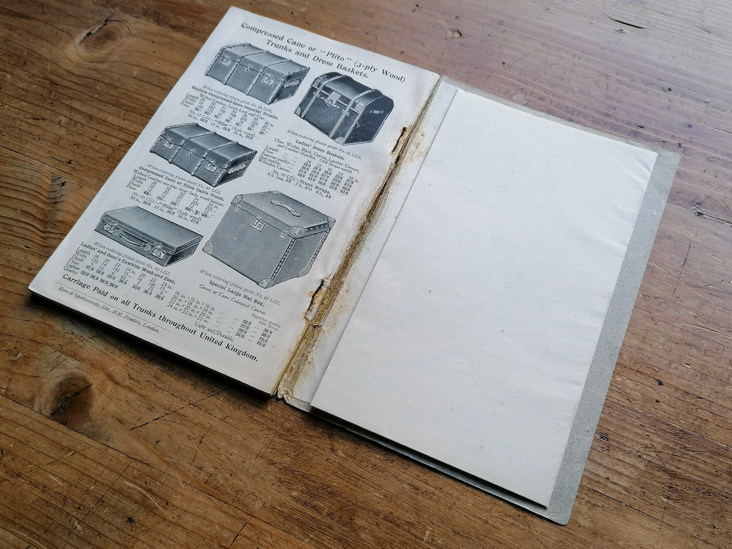 Image 3 of 9

 Image 4 of 9

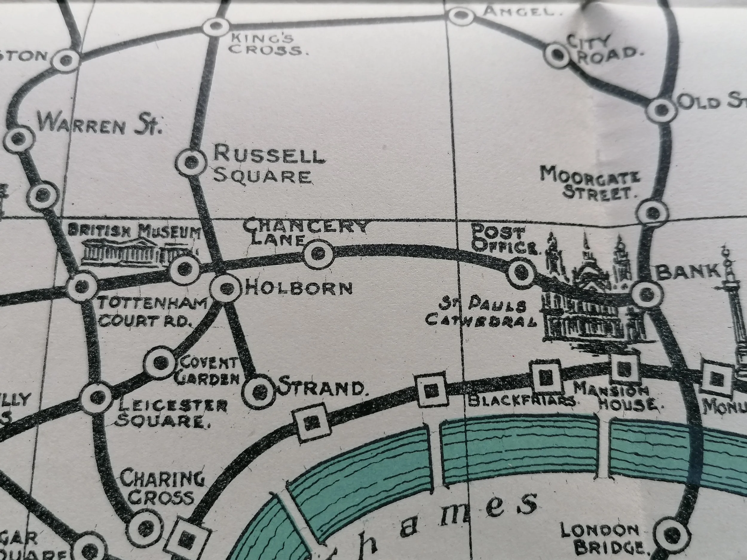 Image 5 of 9

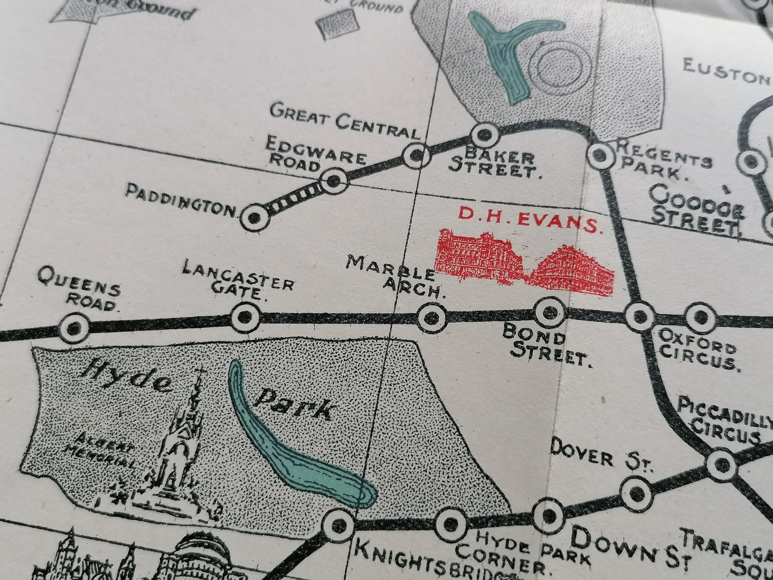 Image 6 of 9

 Image 7 of 9

 Image 8 of 9

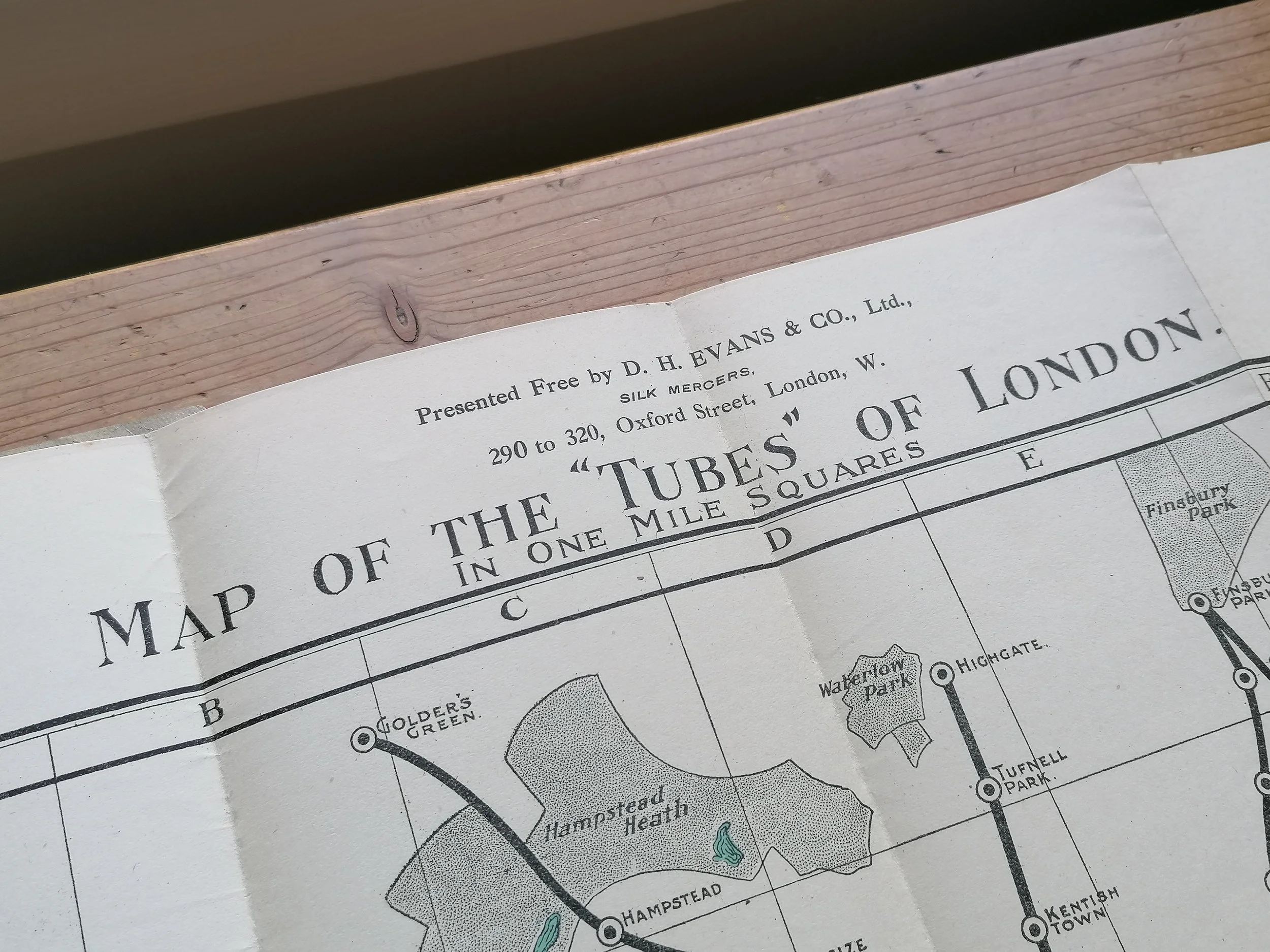 Image 9 of 9


1910 Map of the Tubes of London - DH Evans
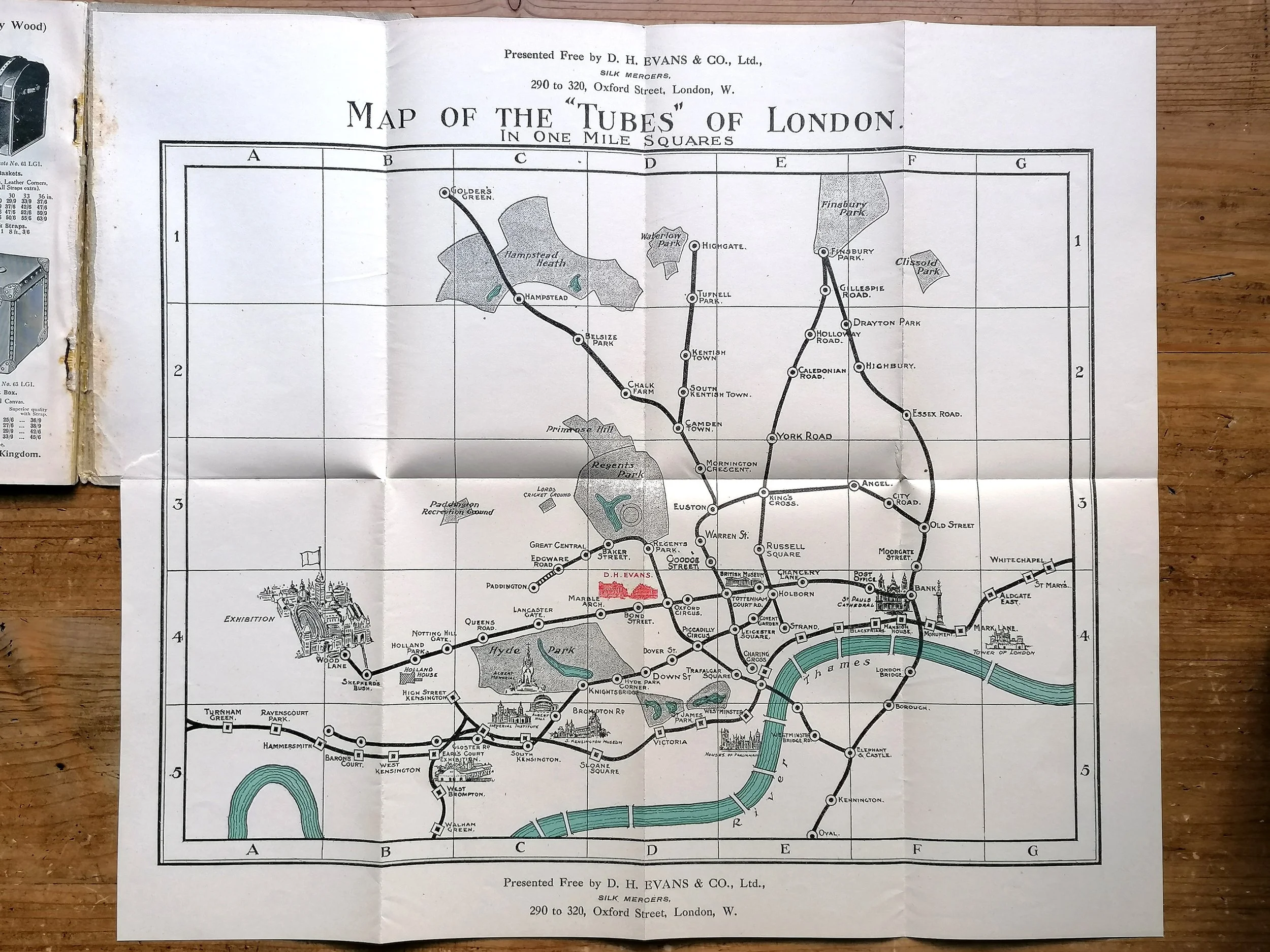
Map of the Tubes of London (1910)
Unknown designer. Published by DH Evans. Folded map and guide. Measures. 42.5cm x 35.5cm
The map - being the second edition, first issued in 1908 - is printed in three colours with some landmarks depicted pictorially, including the DH Evans department store – which is highlighted in red, more or less at the centre of the map. There is no key, but efforts have been made to differentiate between the different types of line. The three deep level ‘tubes’ under the UERL aegis, precursors to the modern Bakerloo, Northern and Piccadilly Lines, have stations marked with a circle. The UERL was also the parent company of the cut-and-cover District Line, whose stations are marked with squares.
The text of the guide advertises the Coronation Exhibition and Empire Display at White City, and the Festival of Empire at Crystal Place (‘probably’ to run May to October, so the guide may have been printed in late 1910 before dates were fixed). The guide contains useful information for travellers and tourists, such as plans of London theatres, and a section on touring British cathedrals.
